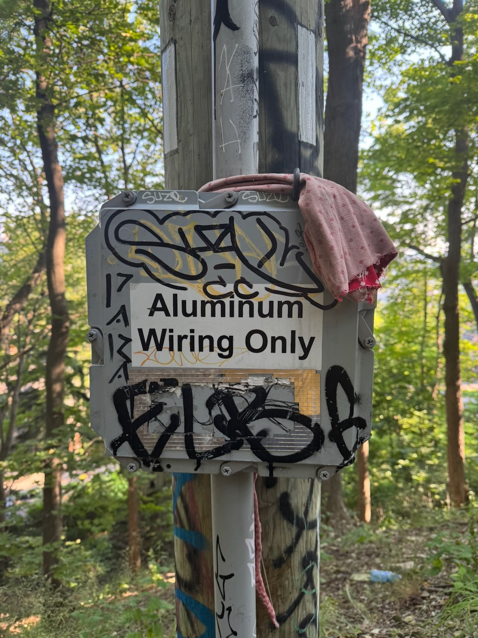
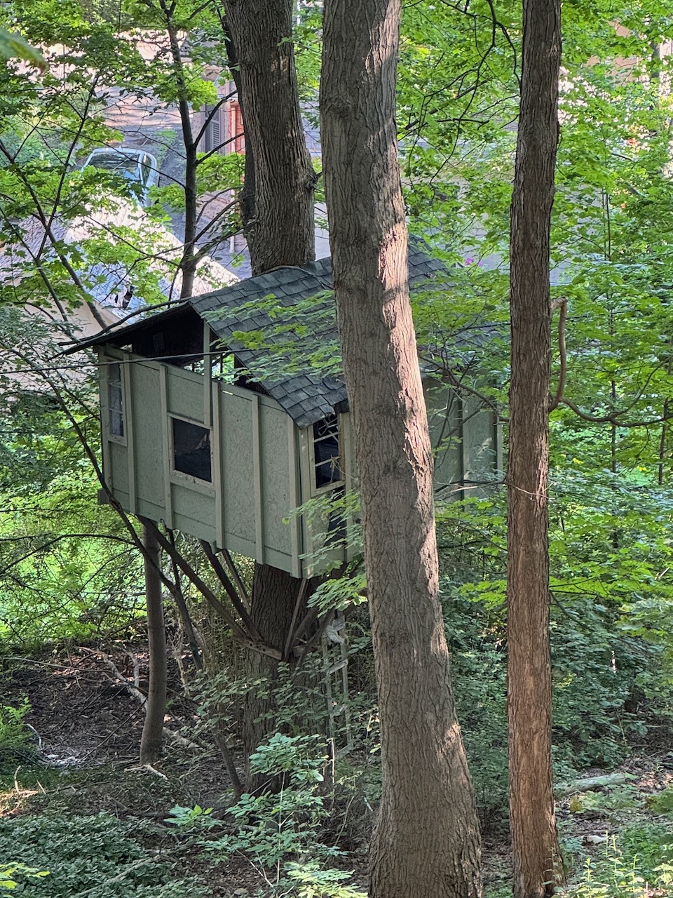
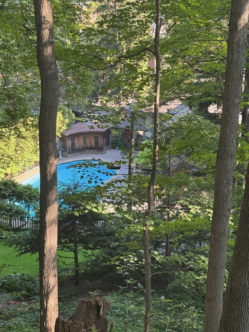
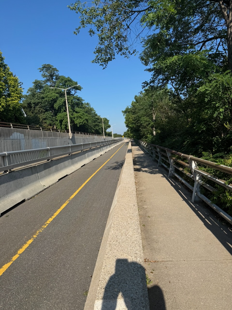
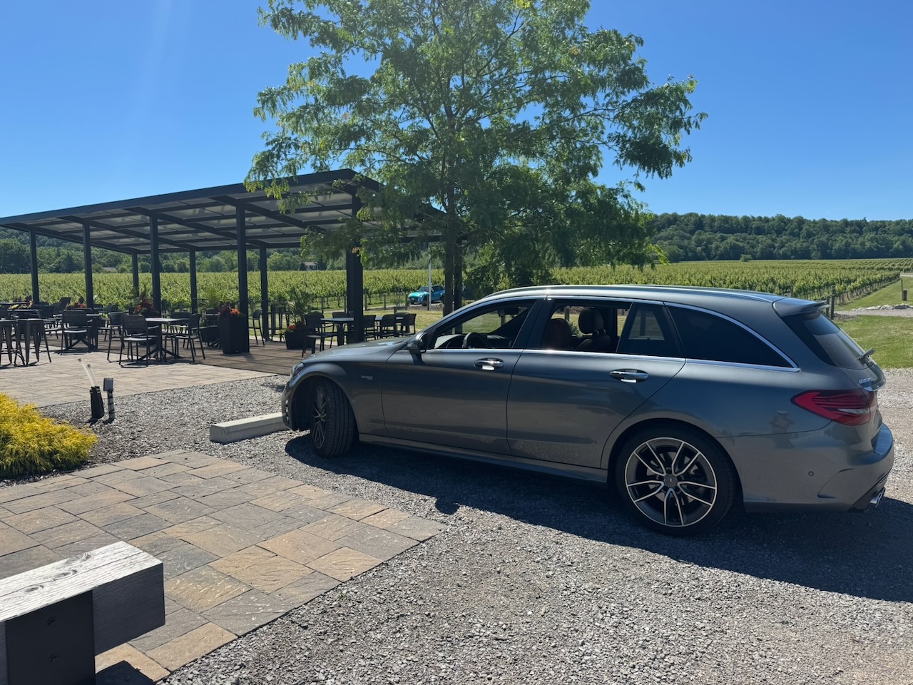
Hike the Bruce Trail Day Ten: The Long Road

There were lots of roads on this hike.

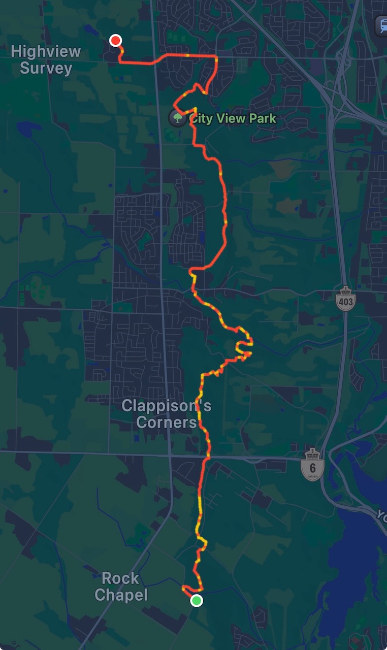
Start: Springer Cres.

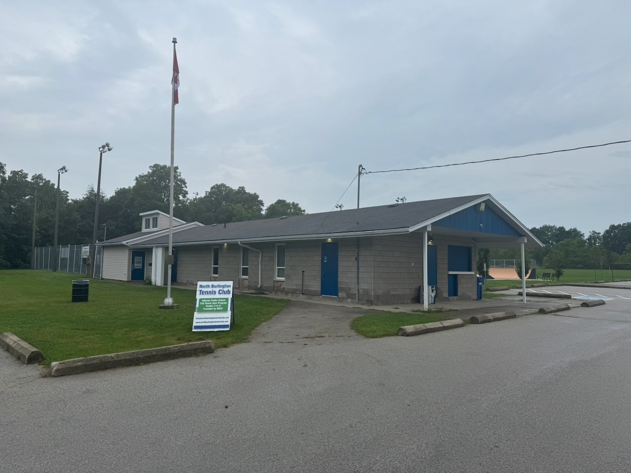
End: North Burlington Tennis Club

Distance: 20km

Weather: 22C and overcast with rain
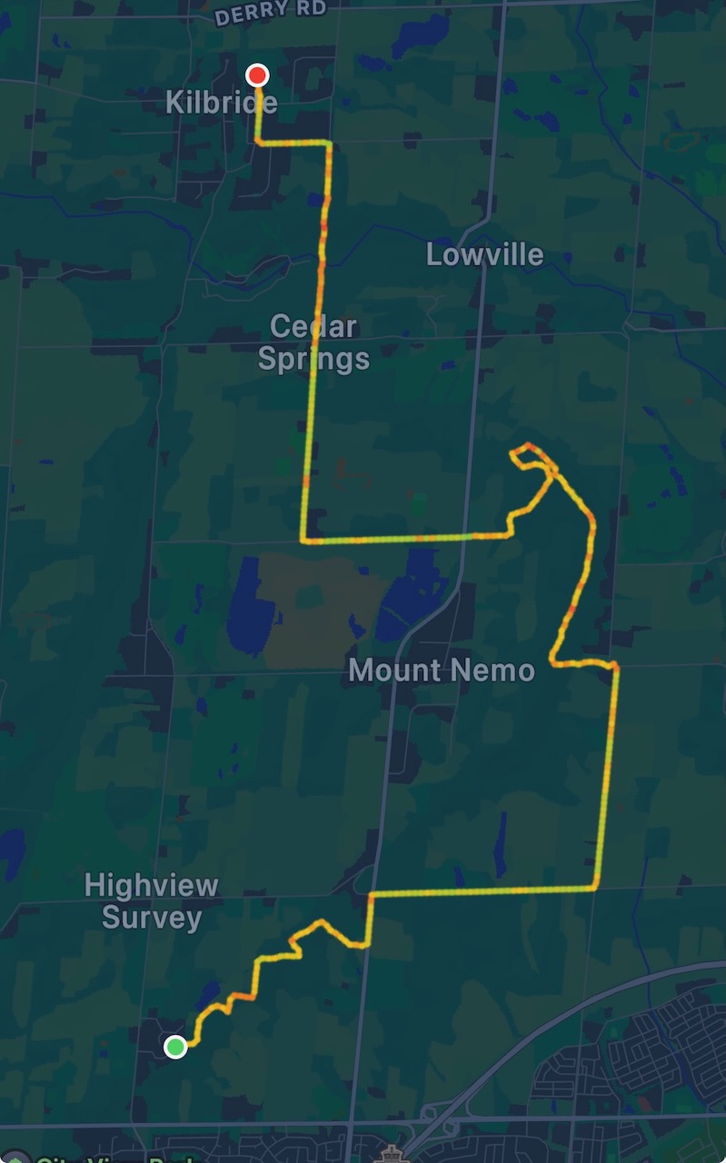
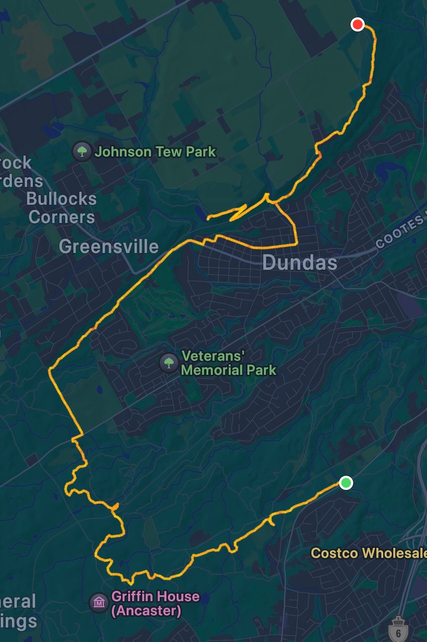
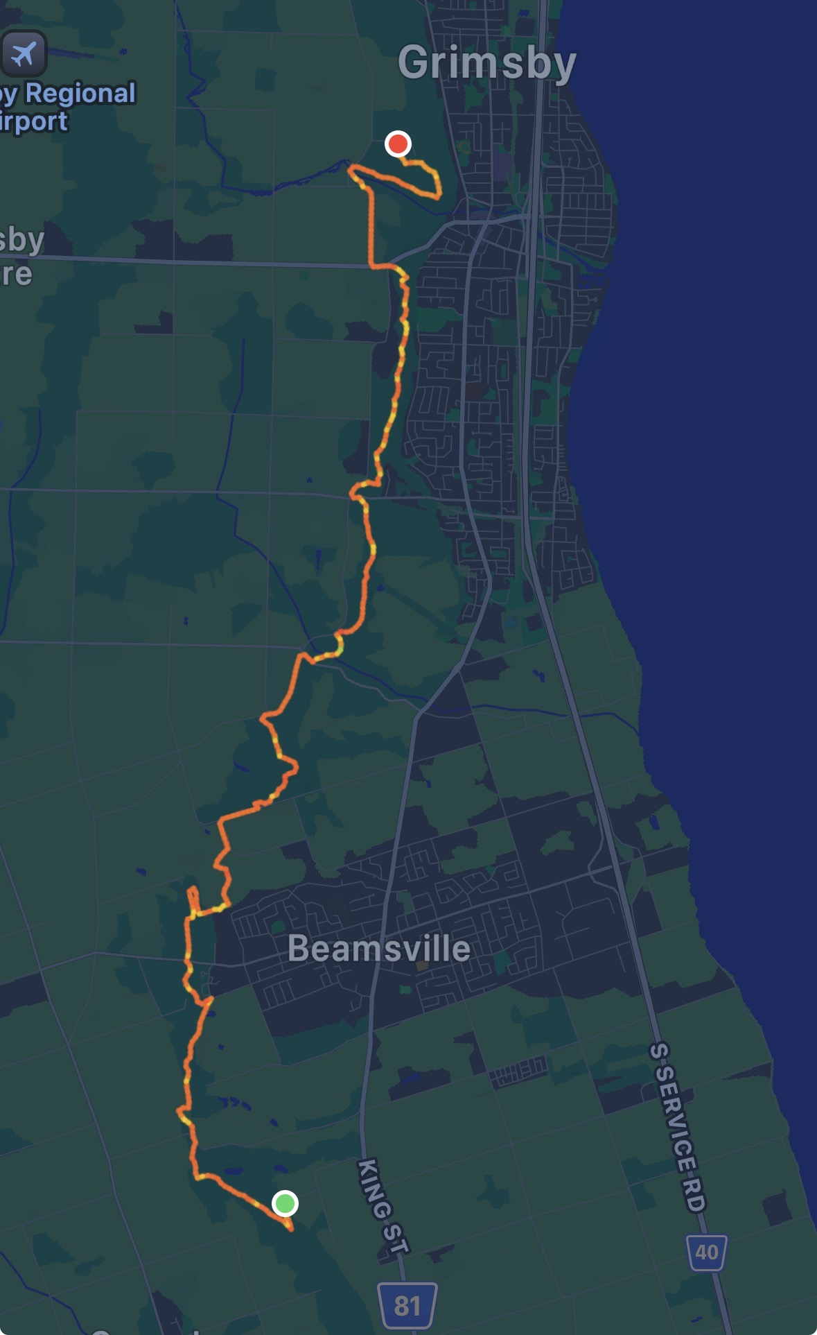
The Route

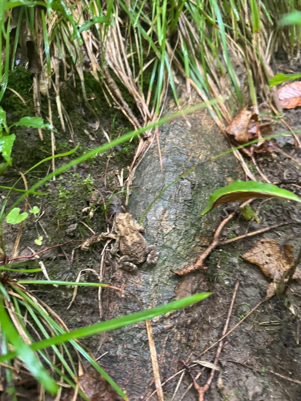
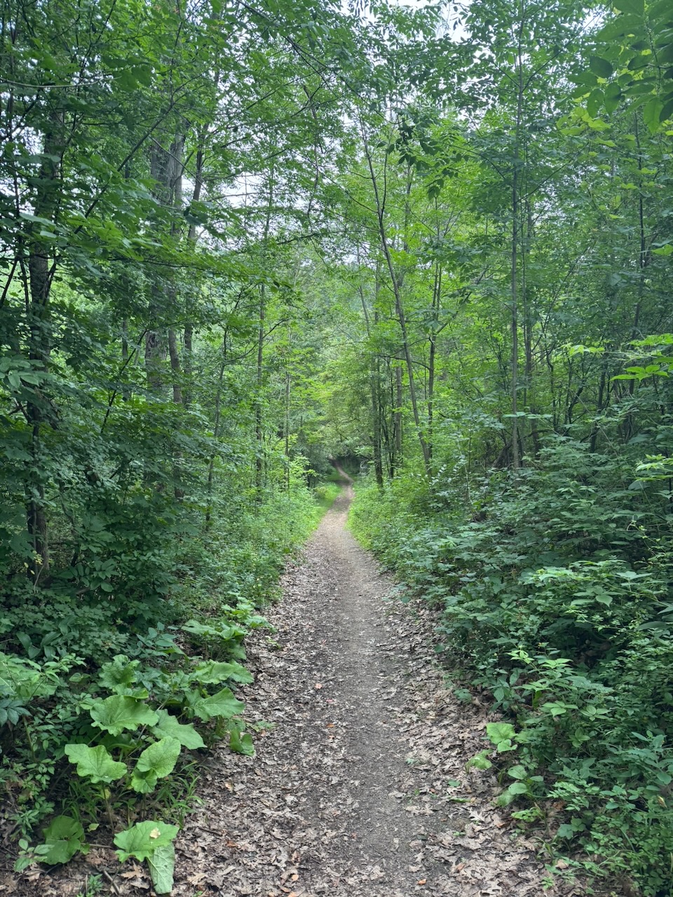
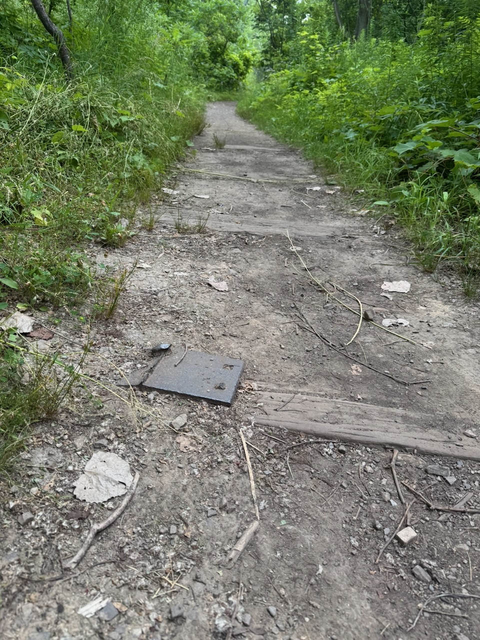
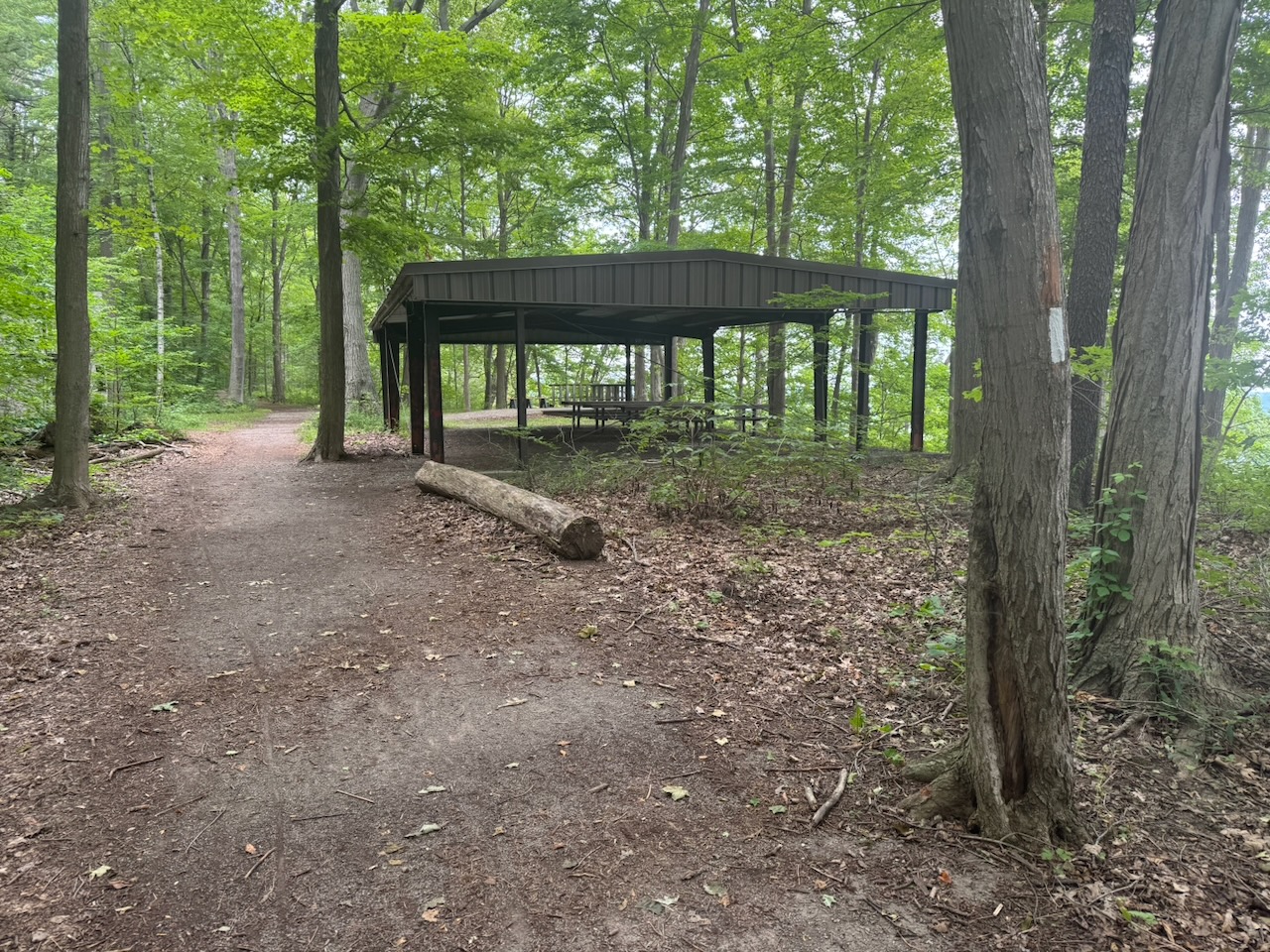
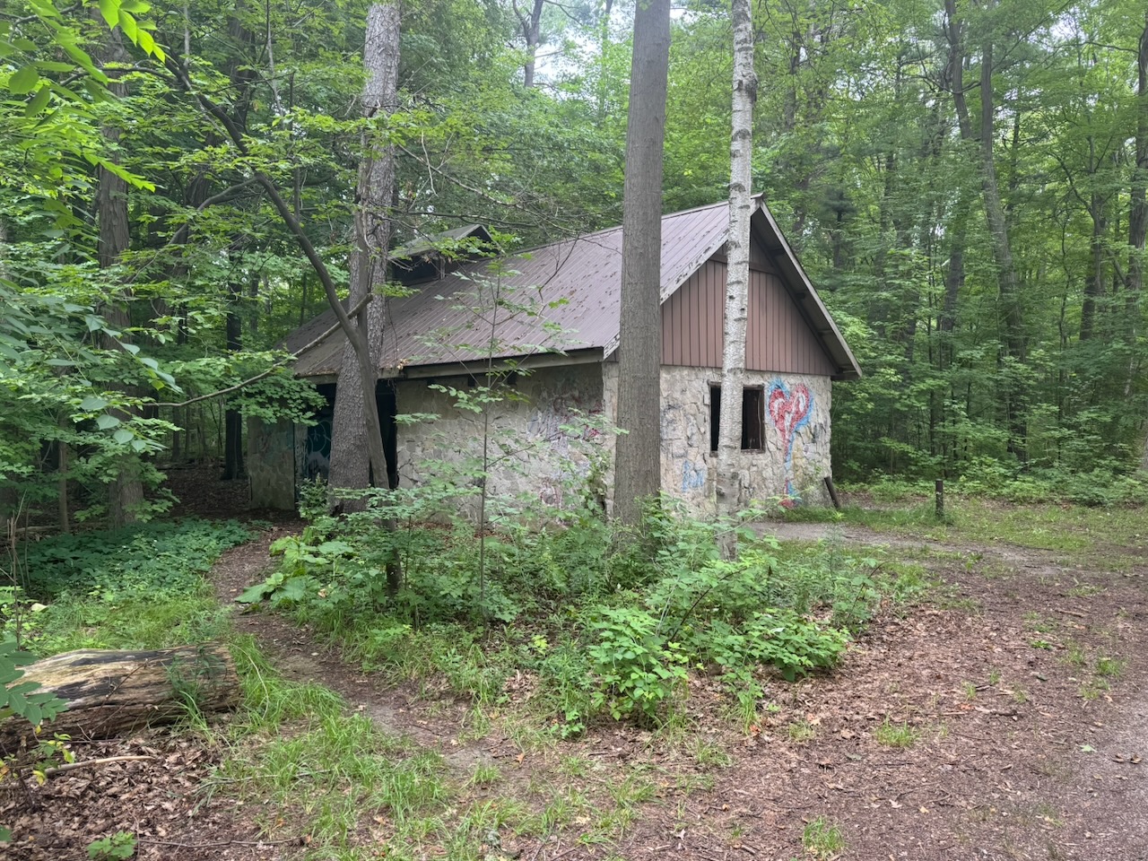
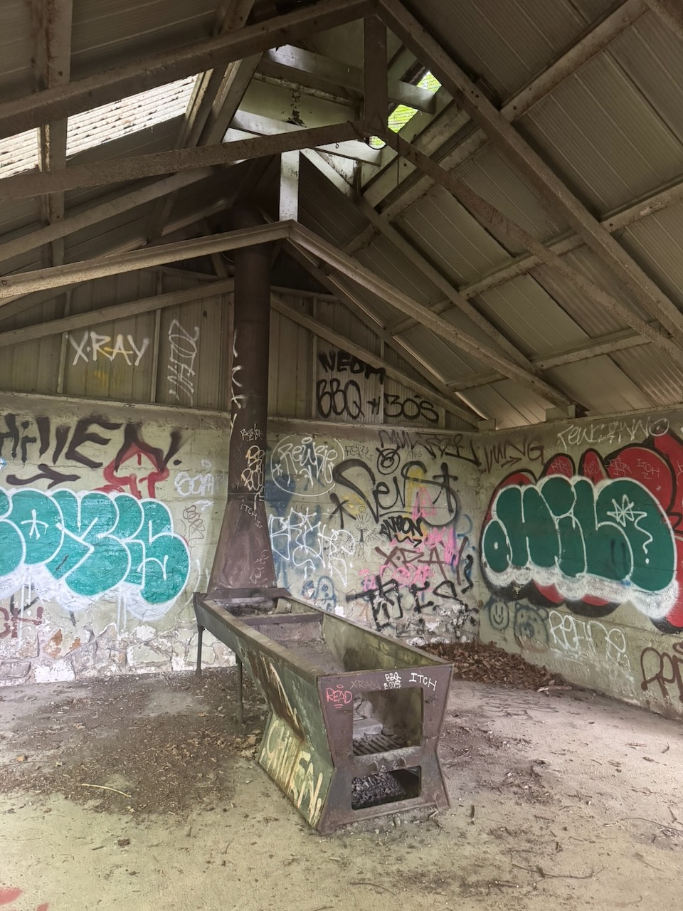
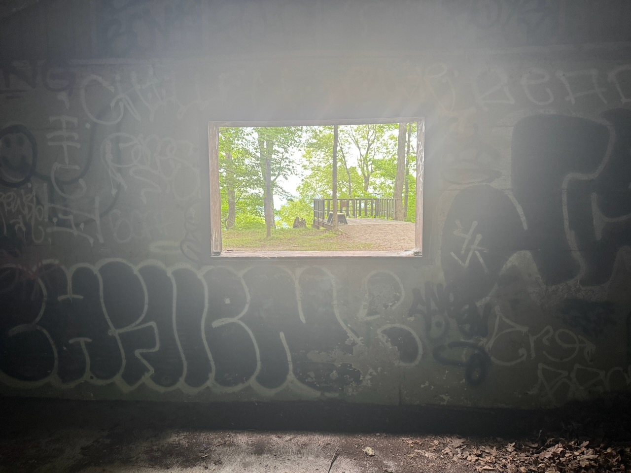
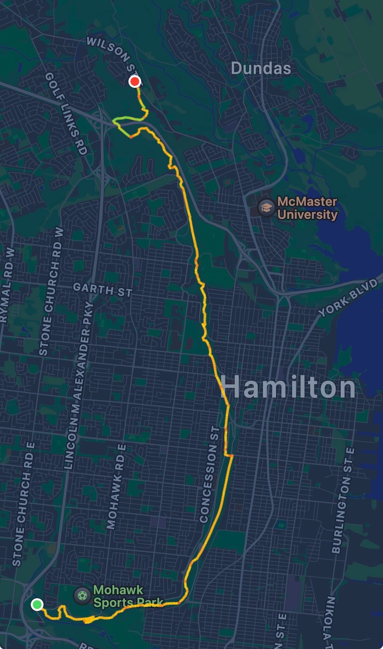
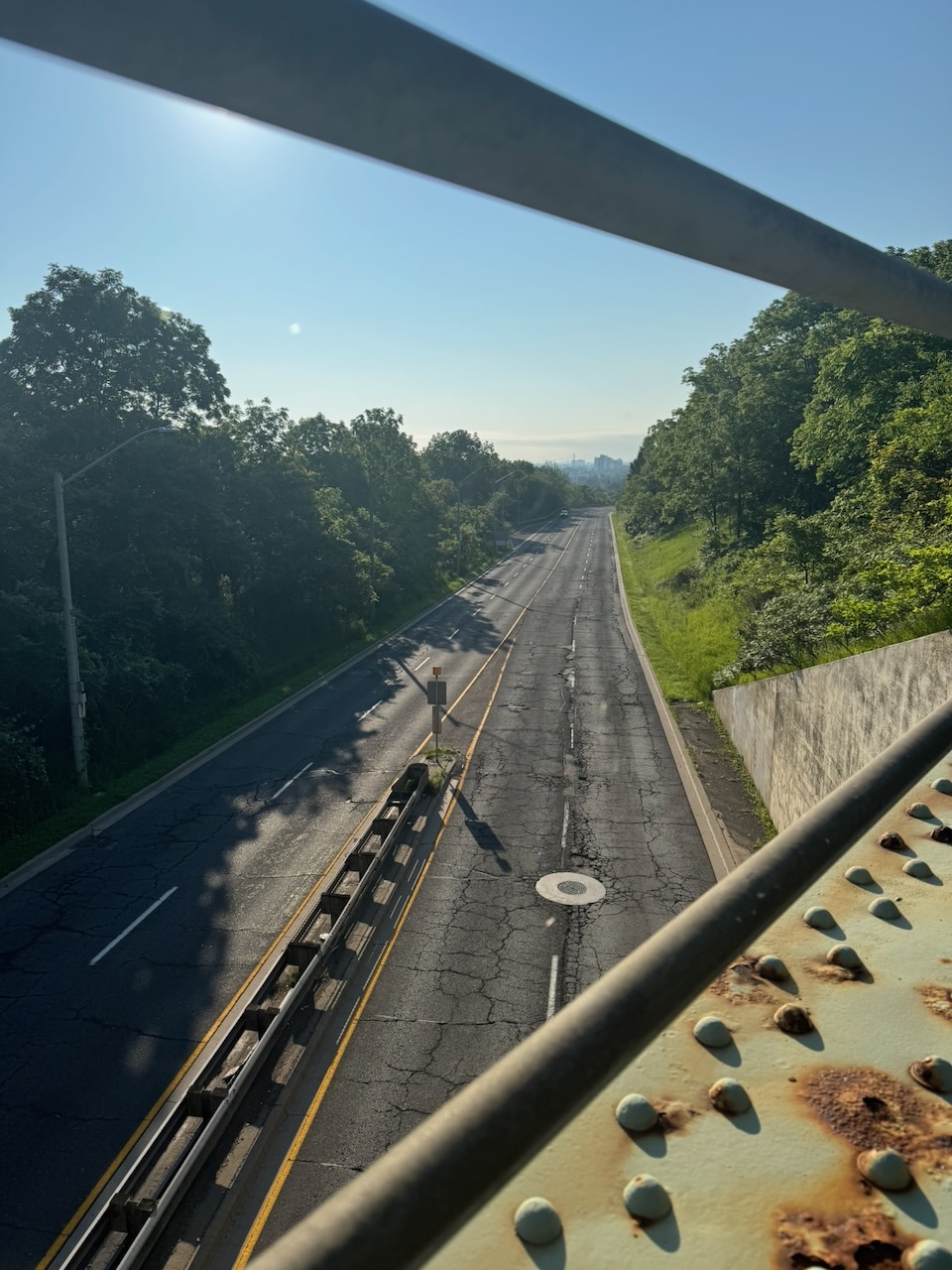
The weather didn’t look good, but it didn’t look bad either. According to the forecast from the night before, the area I’d be hiking would be clear in the morning, with rain starting some time in the afternoon. That wasn’t quite accurate. However, believing the weatherman (or weather app, there’s hardly ever a man involved anymore) I set out at about 5:30AM from the lake with normal clothes and running shoes. The runners were because I noticed that this hike would have a lot of “on road” sections. Runners are more comfortable on roads, and I can also save time by… running.

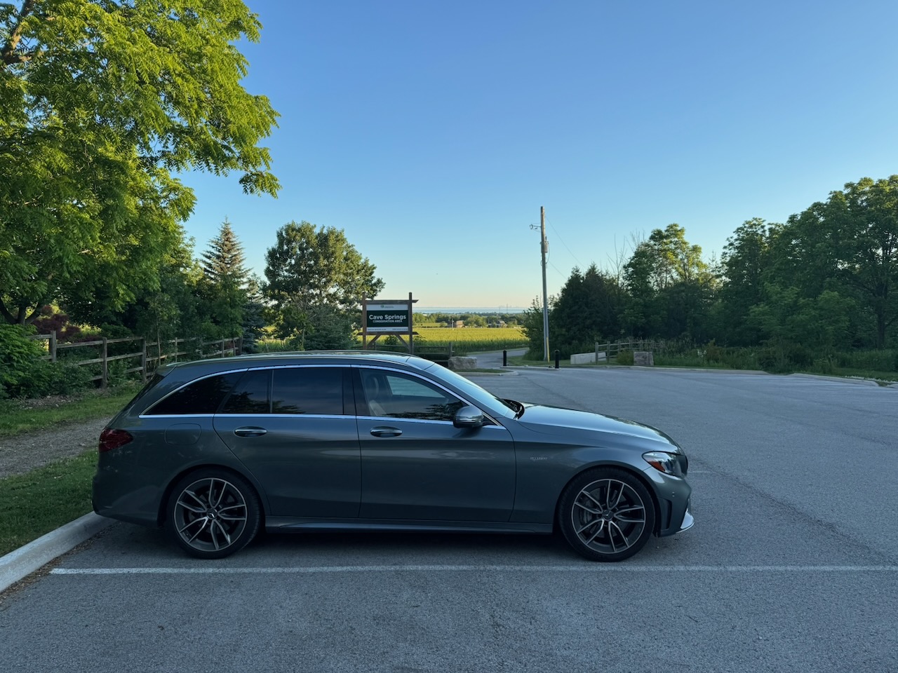
As I mentioned in the previous post, the area where I last stopped had no parking per se. Nonetheless I parked on the narrow street and hoped the car would still be there when I got back.

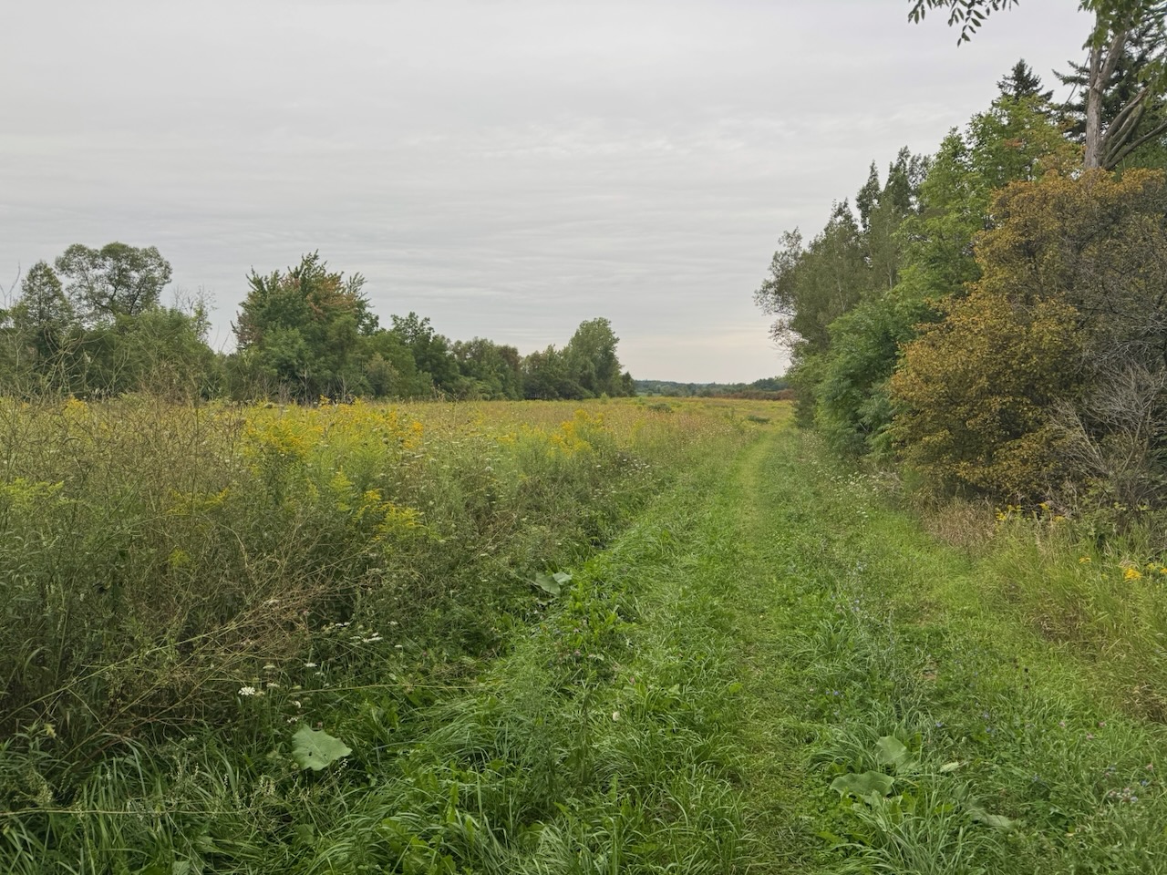
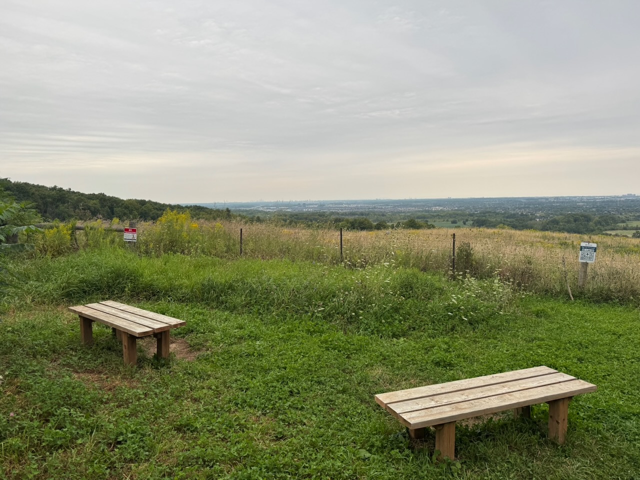
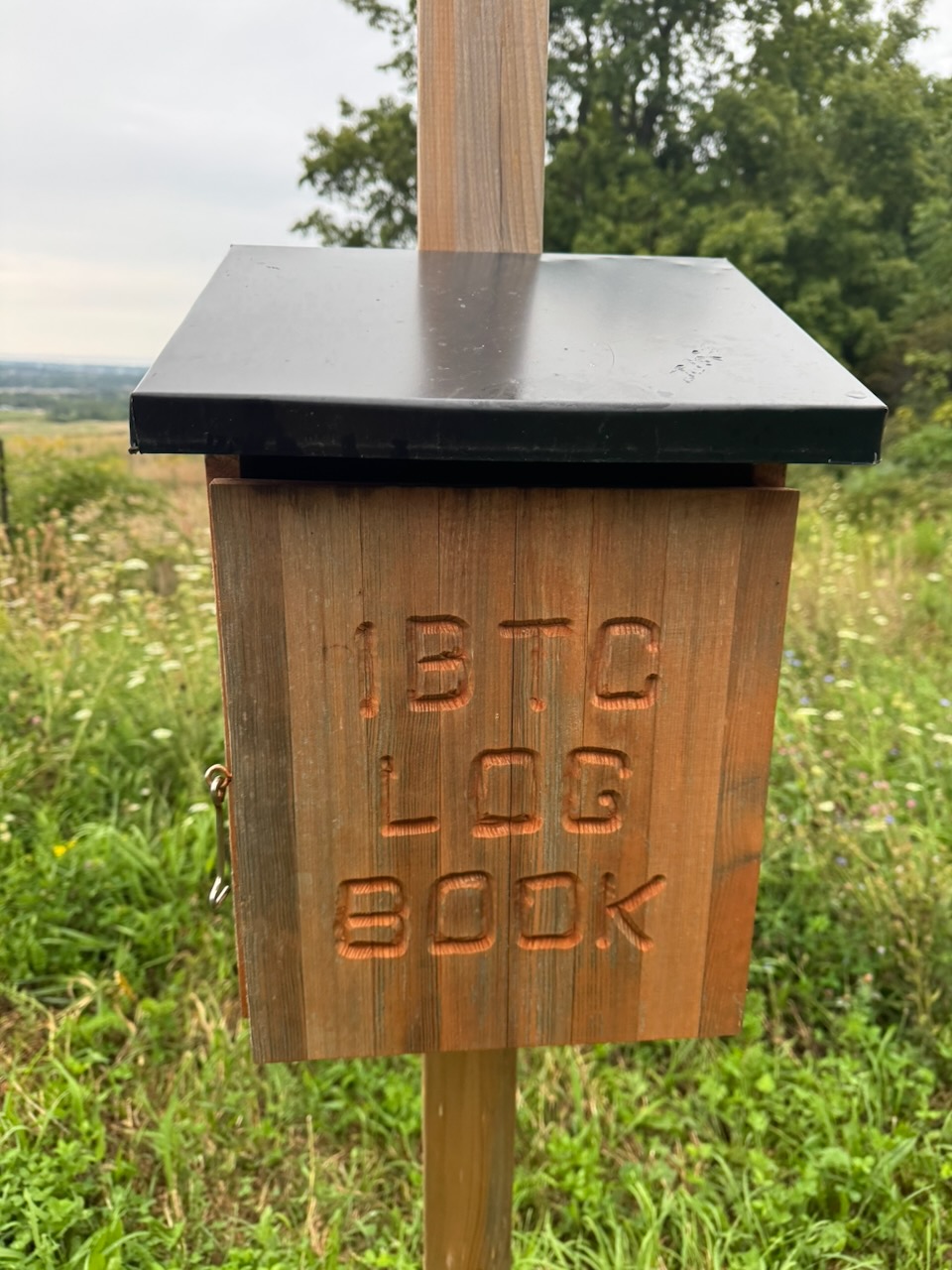
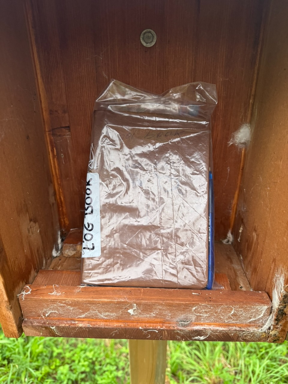
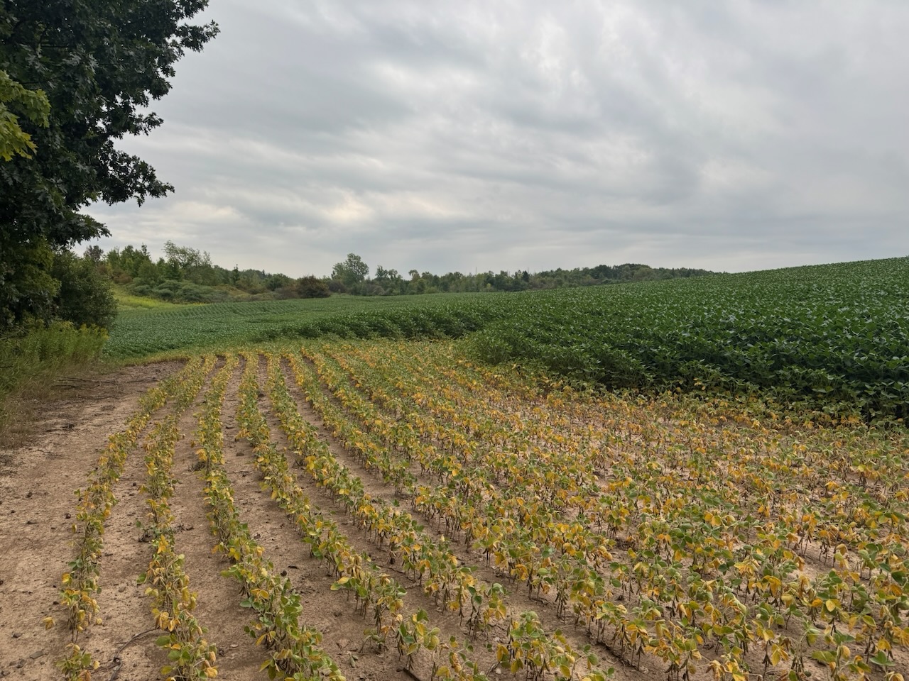
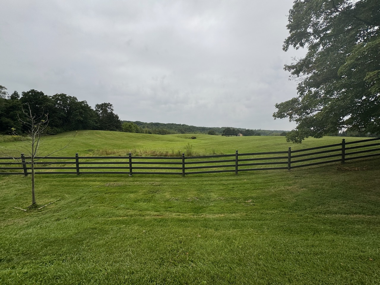
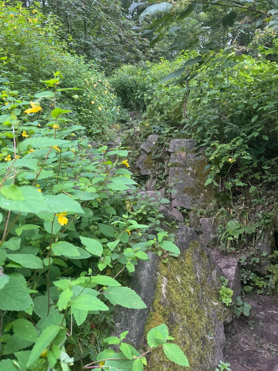
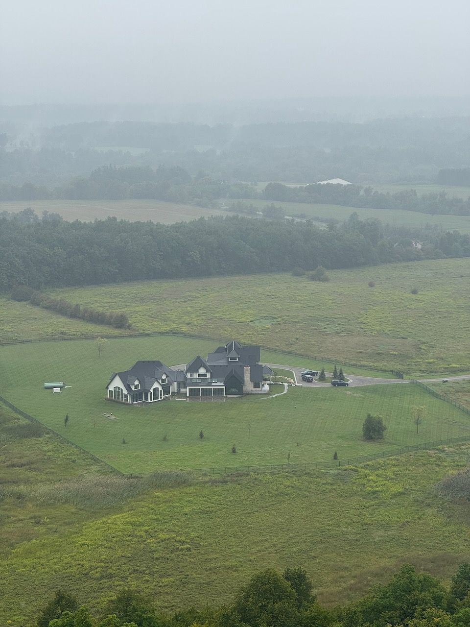
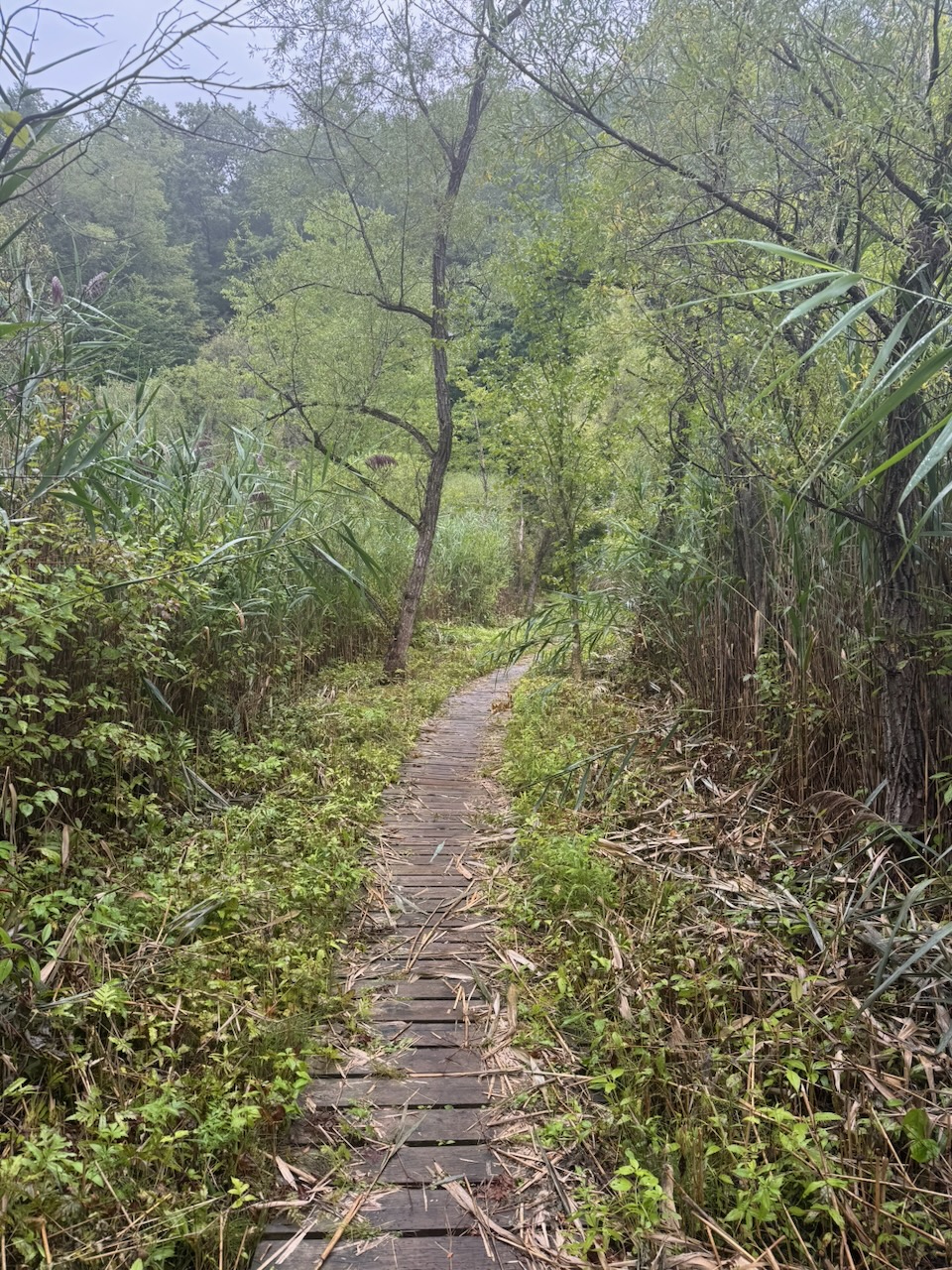
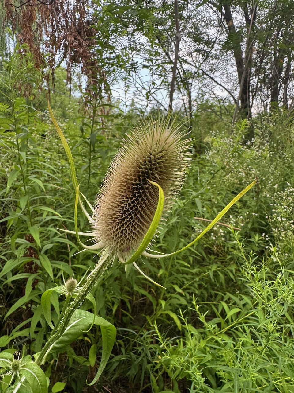
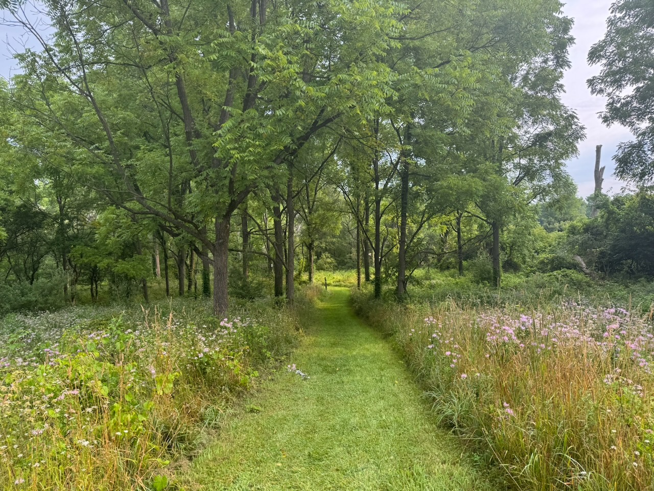
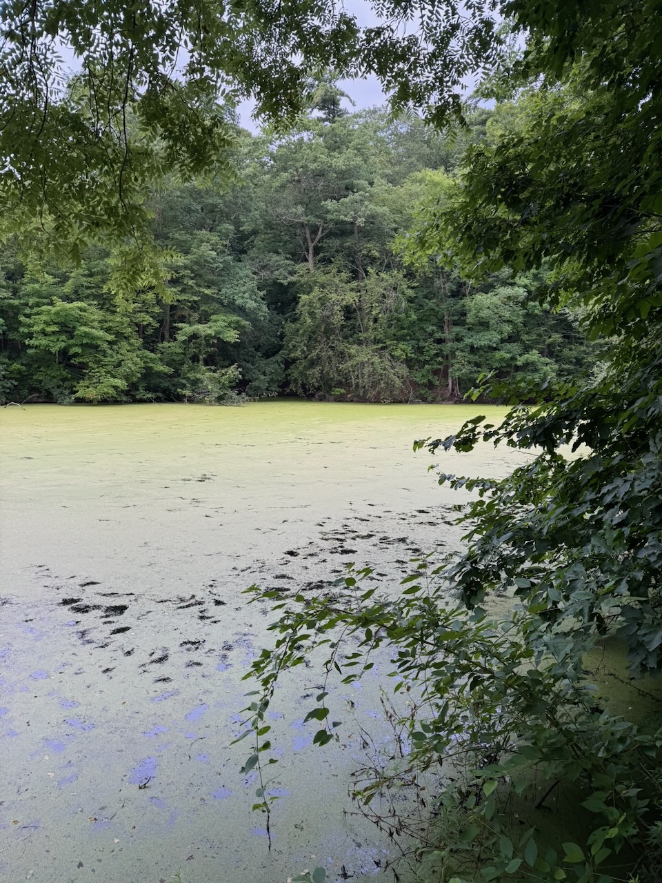
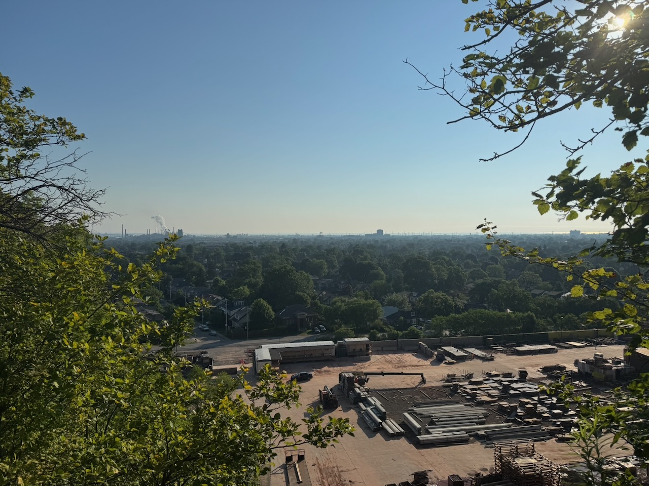
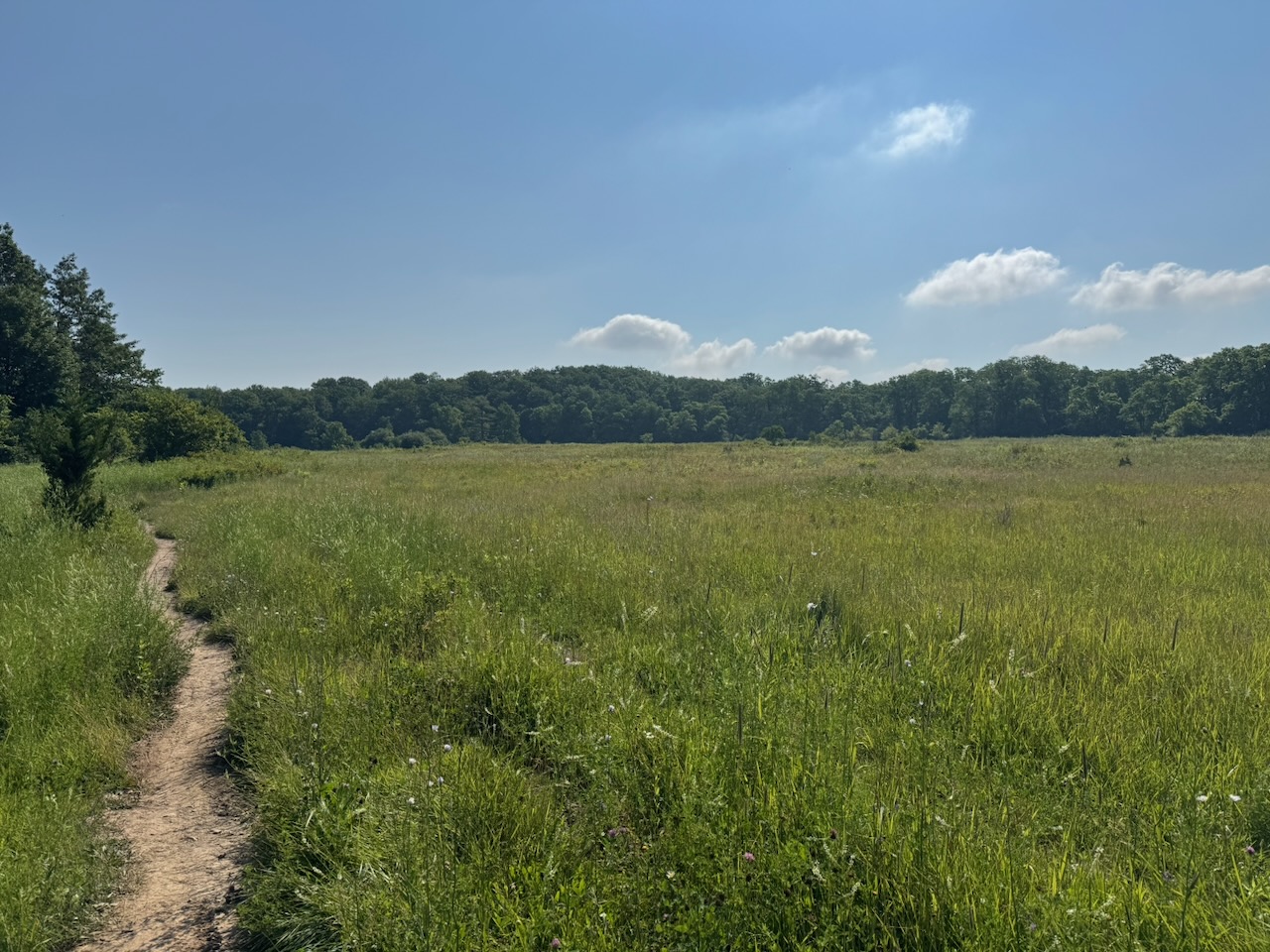
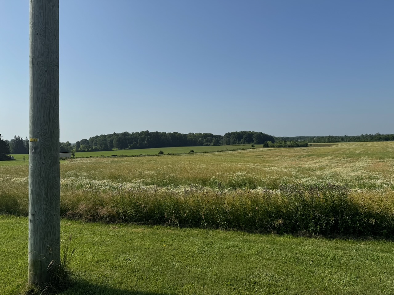
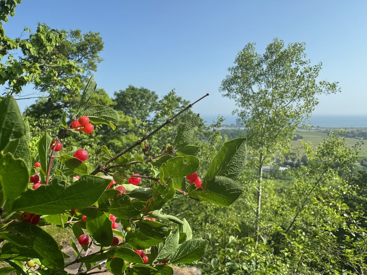
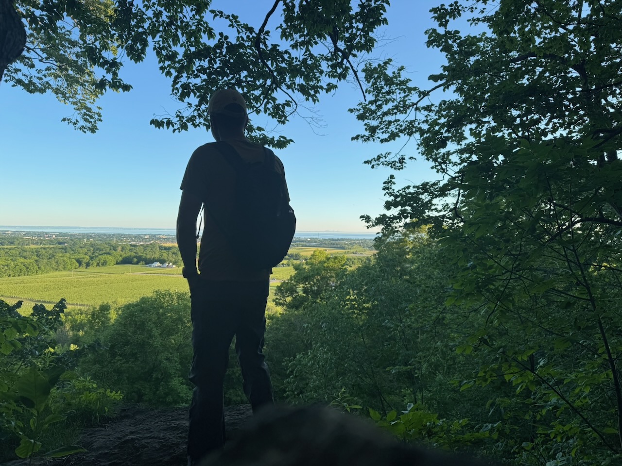
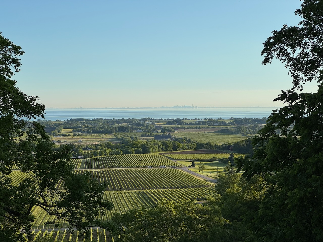
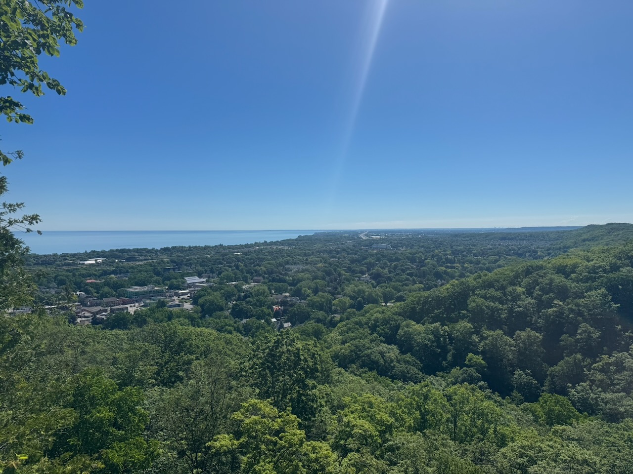
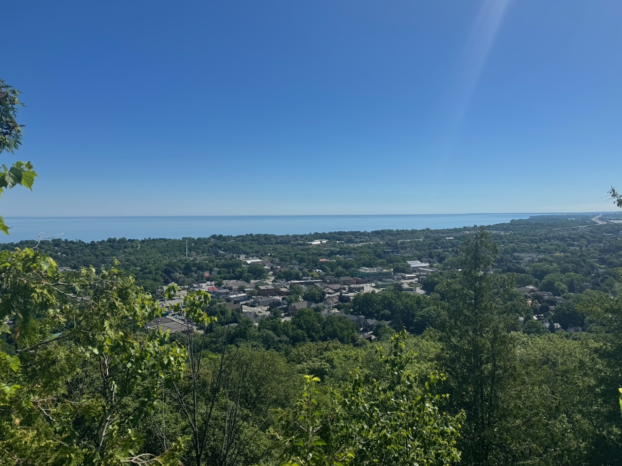
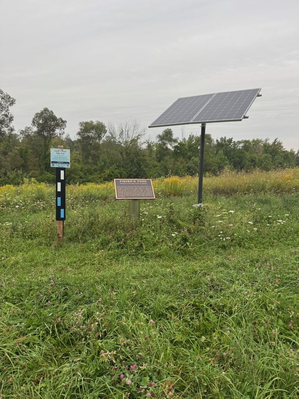
The day began with some pretty bog standard meadows and fields (no bogs though). Some of the trail goes through private property, and whoever owns some of this part had setup a little area to look out over Lake America (topical humour!) along with a logbook for hikers to record their names. I dutifully recorded the date along with my name and my intention to hike the whole trail.

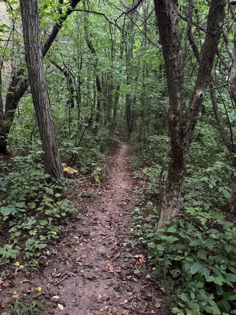
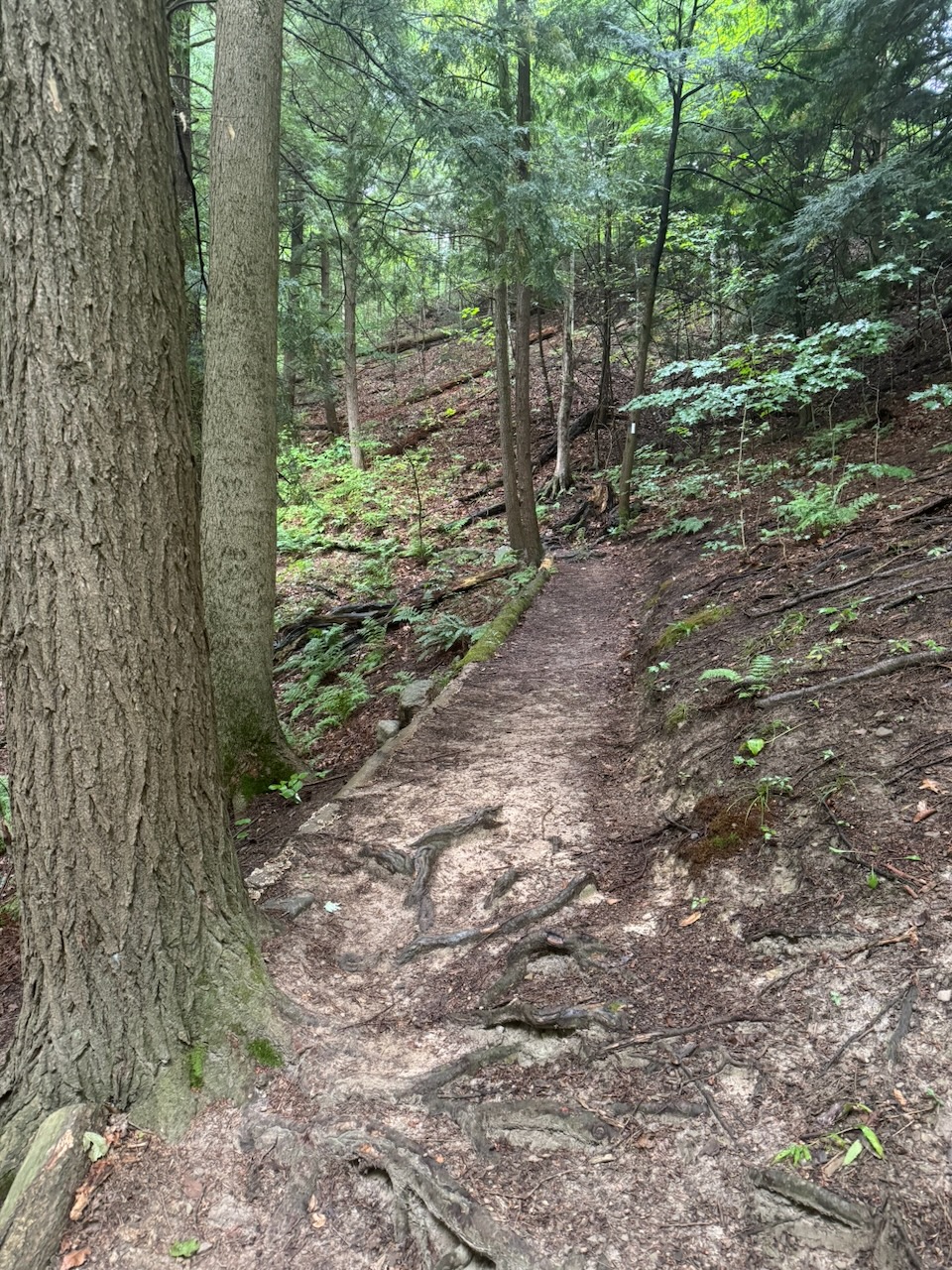
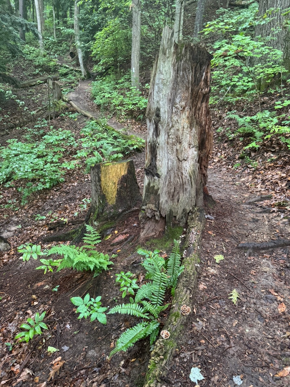
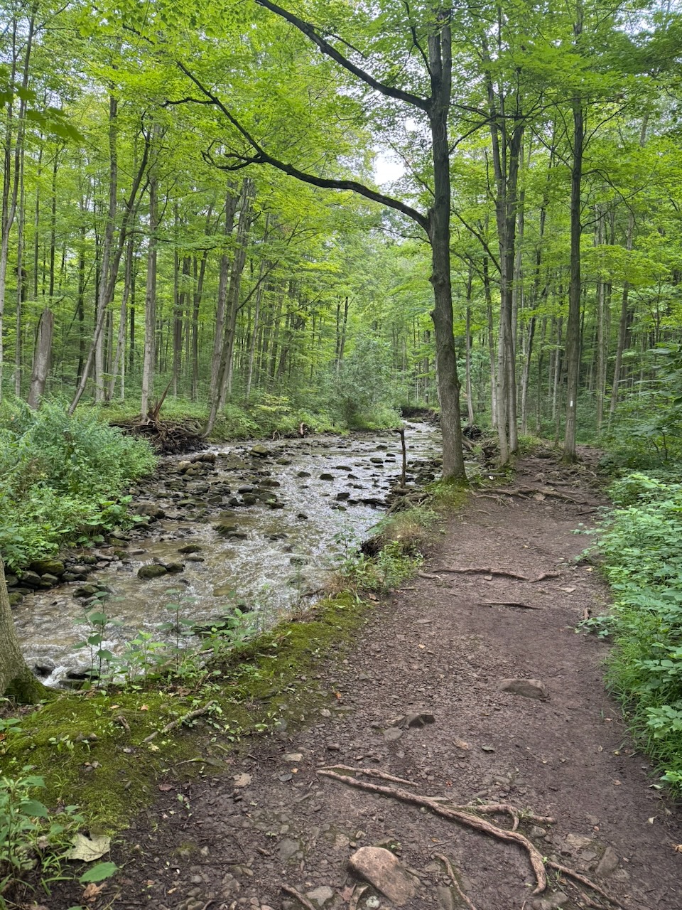
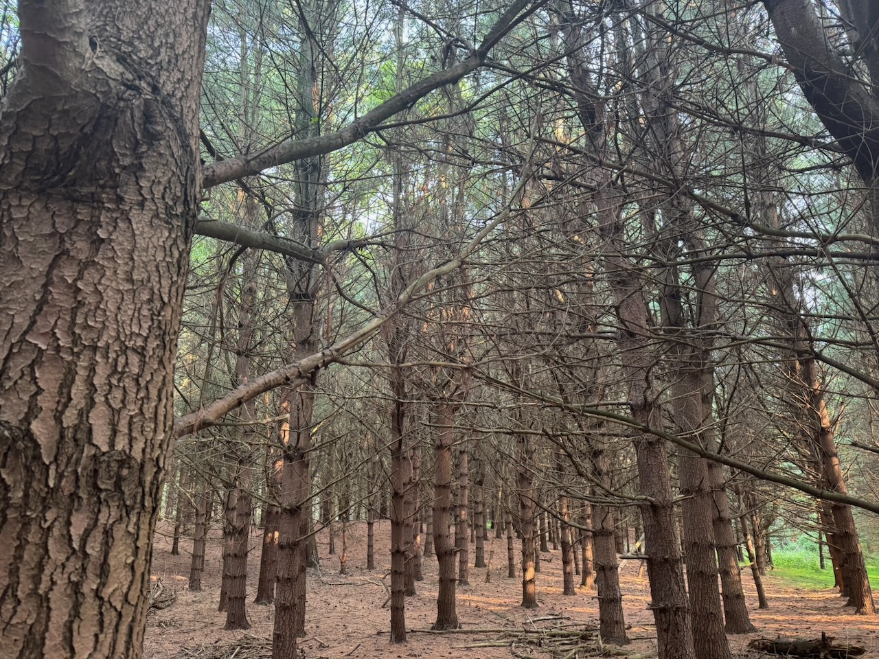
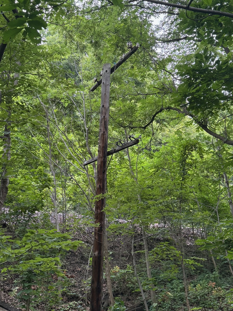
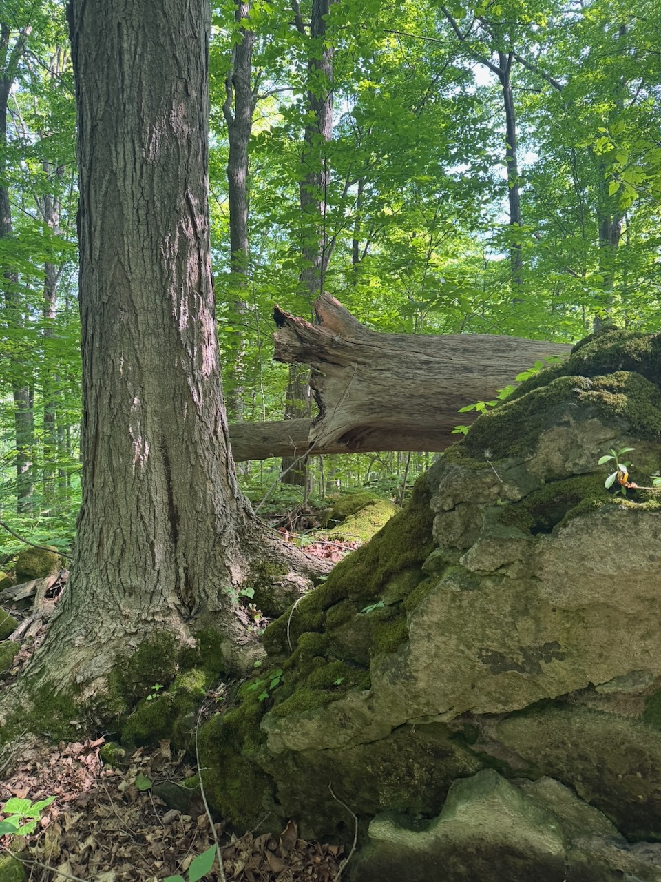
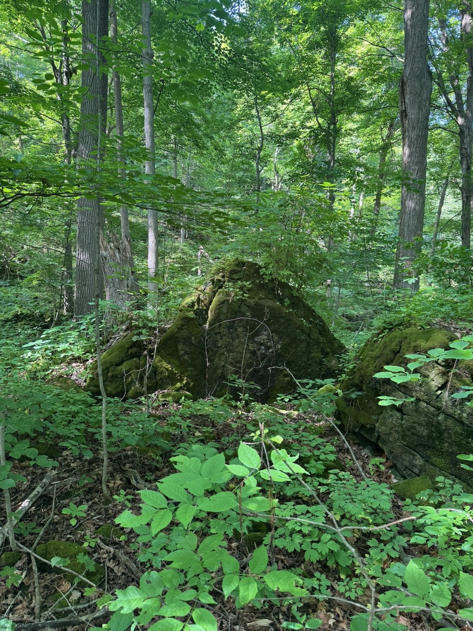
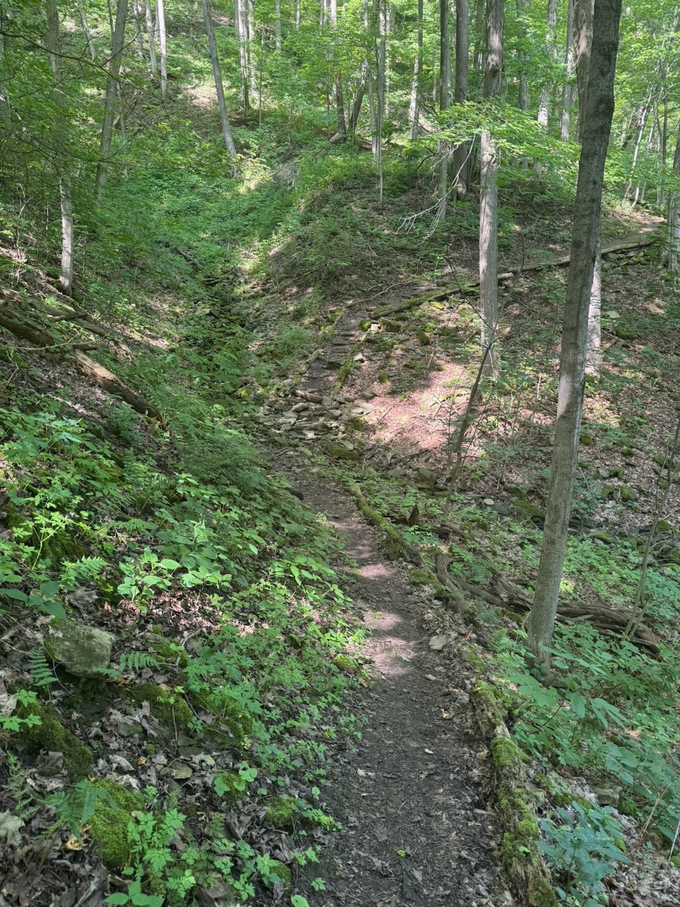
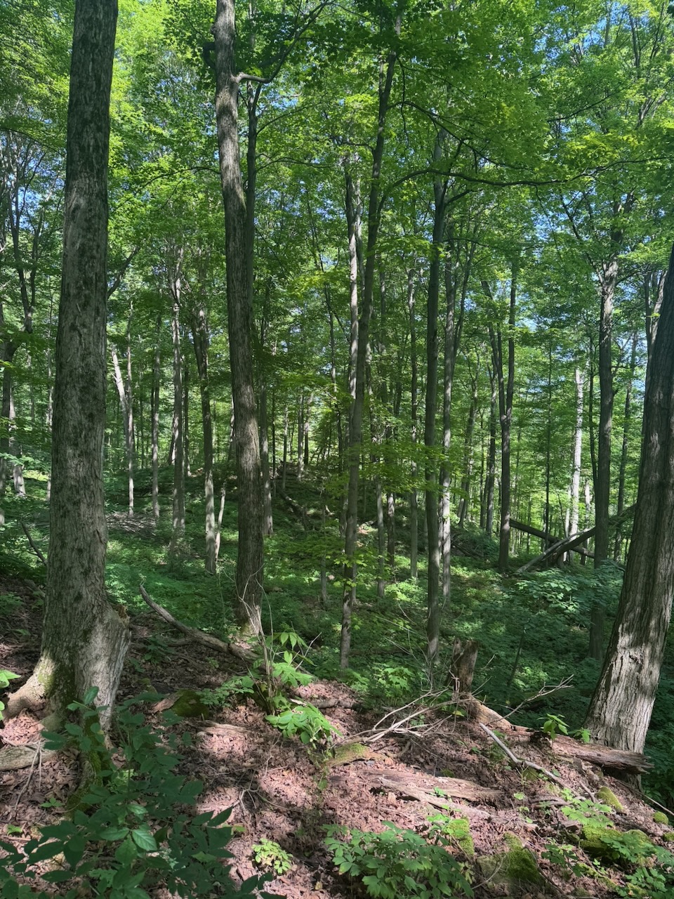
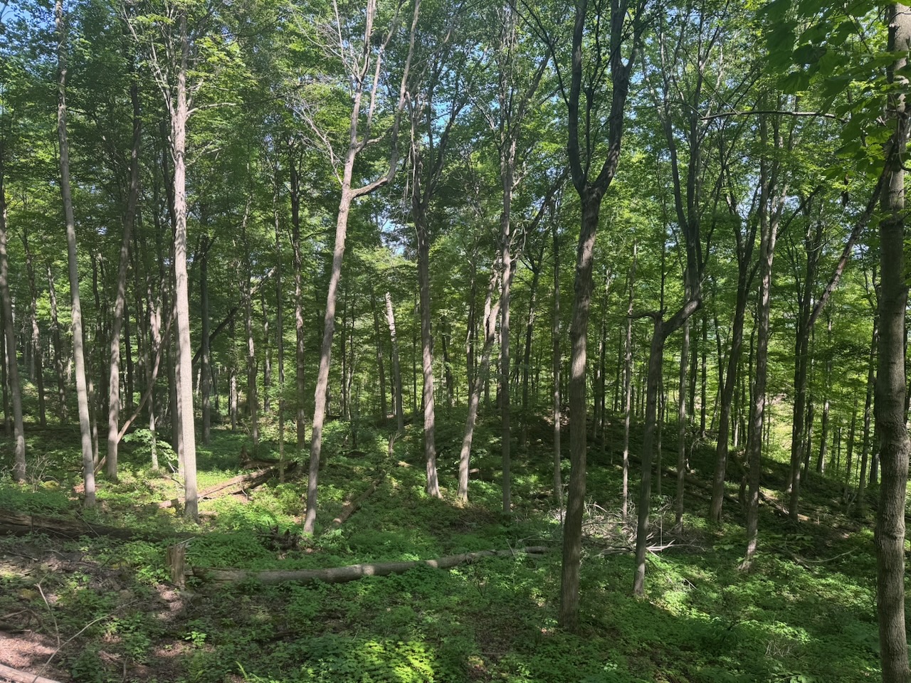
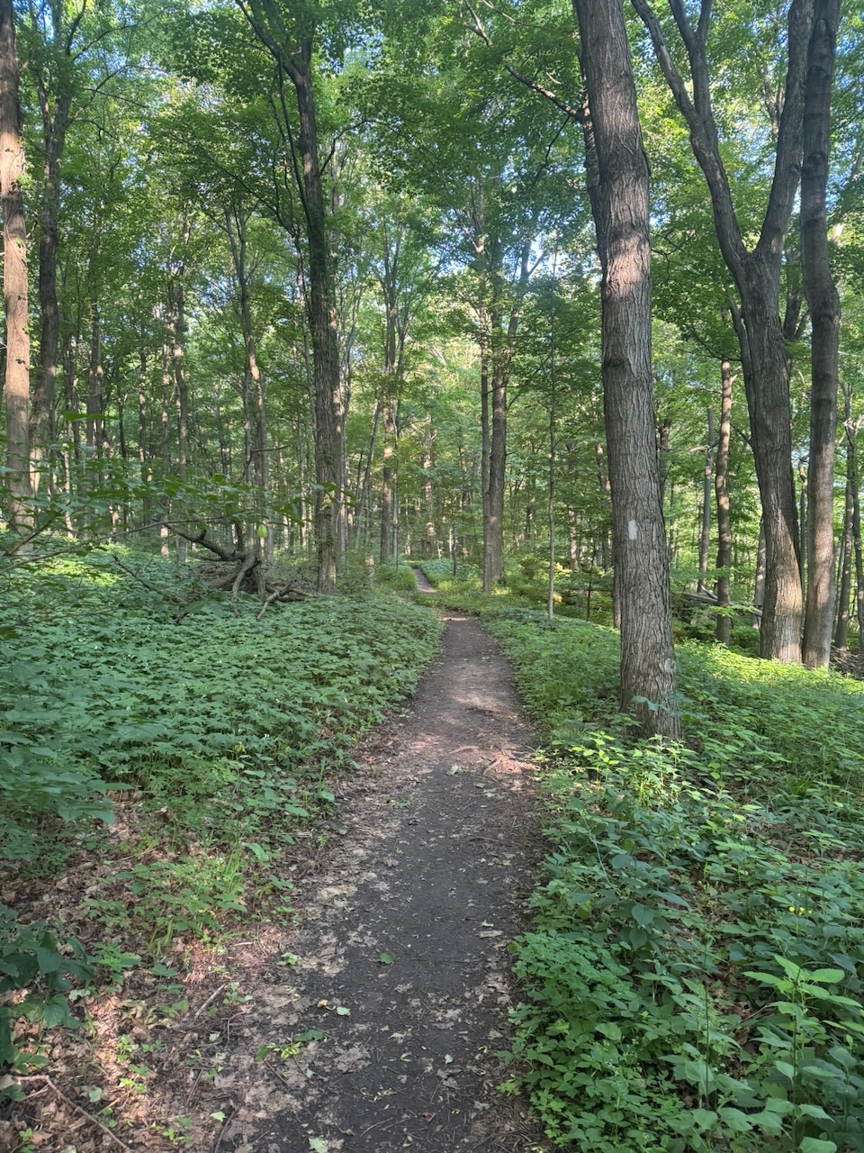
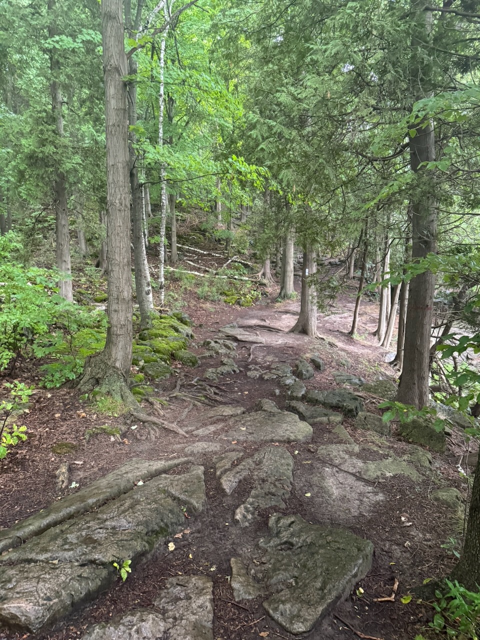
The main thing I noticed at the beginning of the day was the light. Since it’s now the end of August, the sun is coming up later. This, along with the heavy cloud cover, made the forest dark. I mean noticeably dark. It was actually quite nice, and the crickets seem to have loved it.

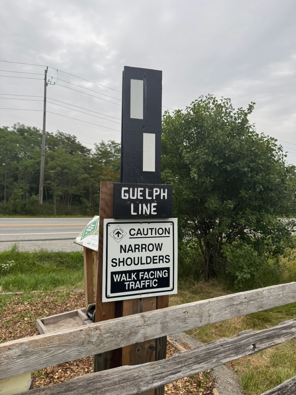
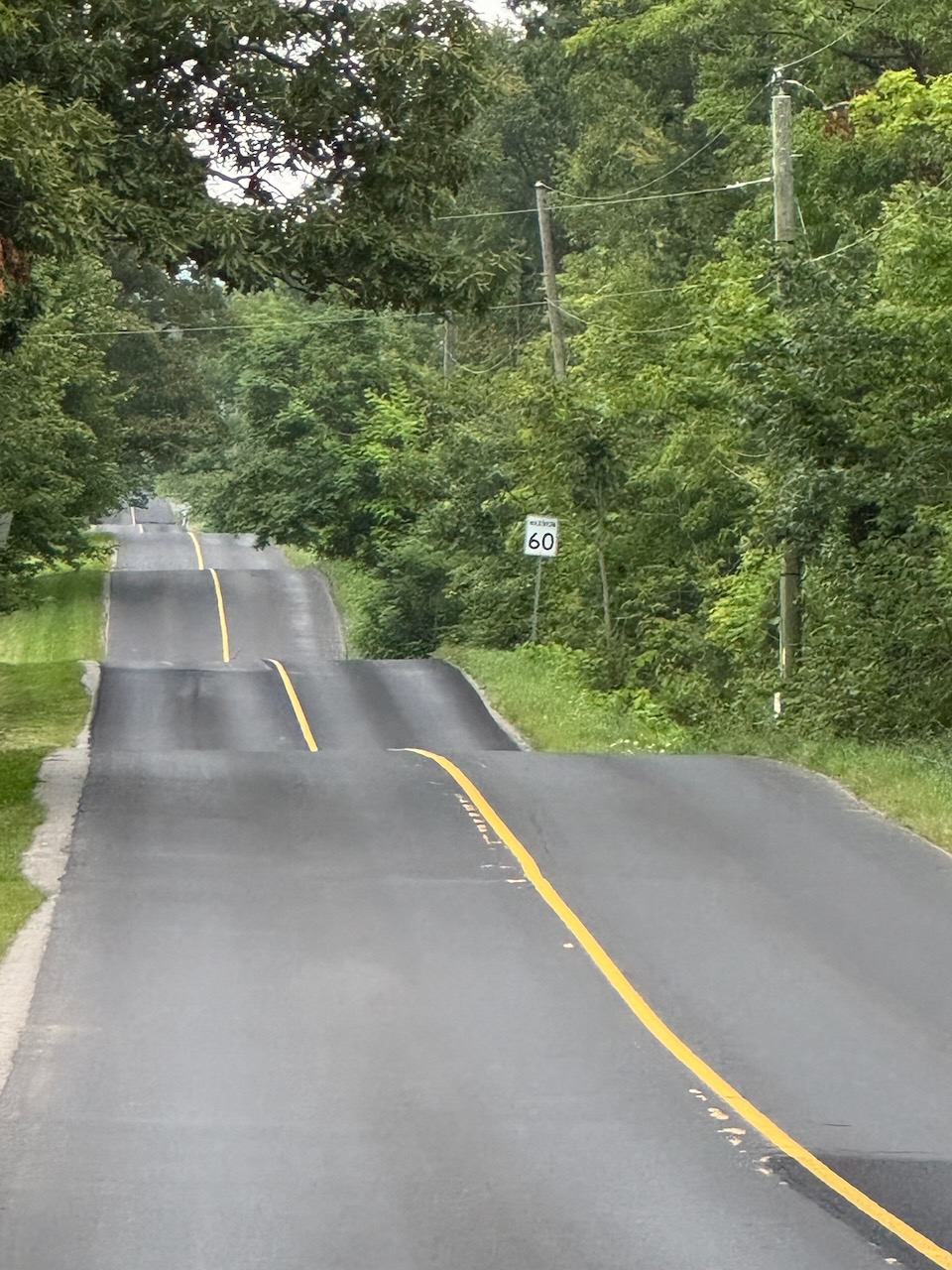
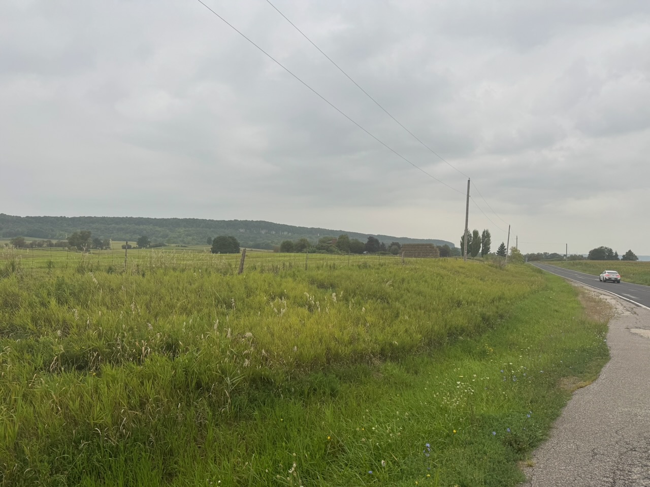
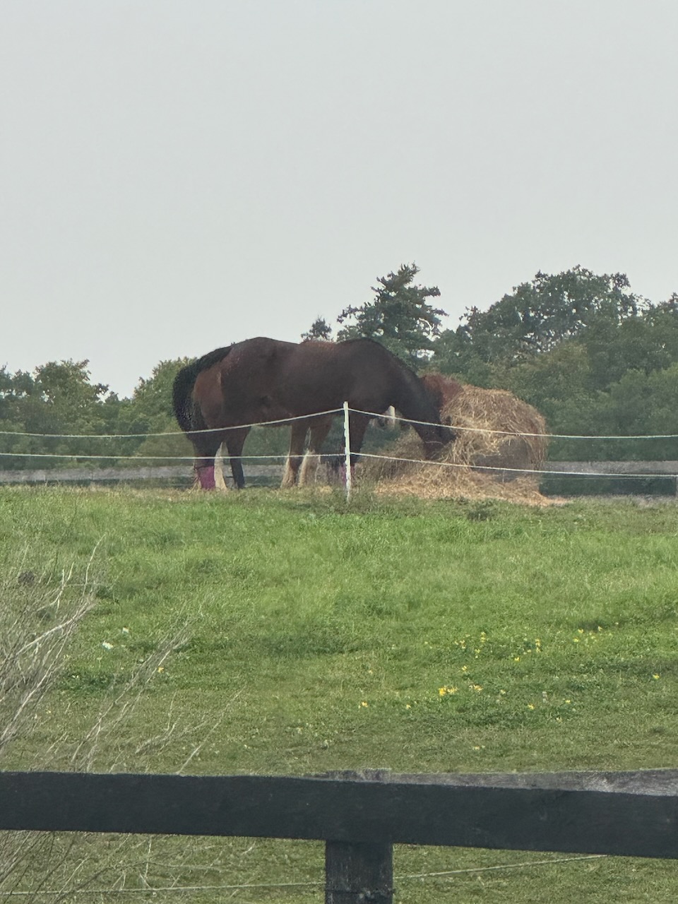
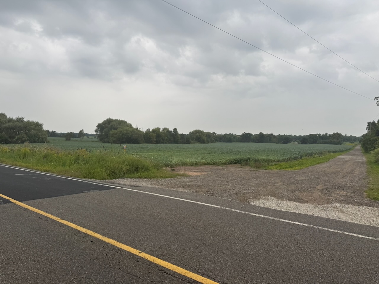
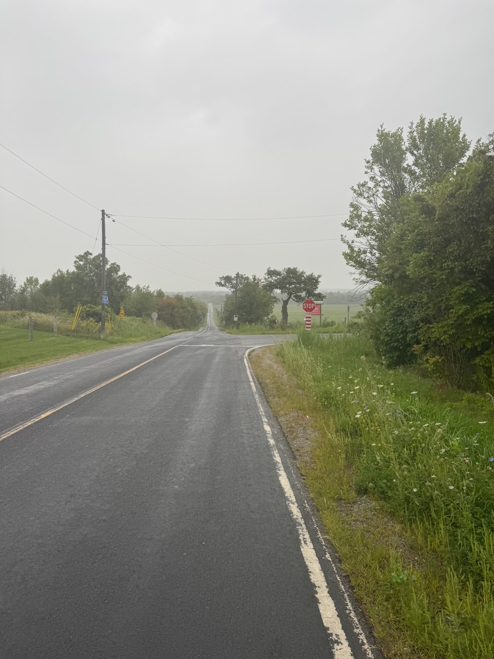
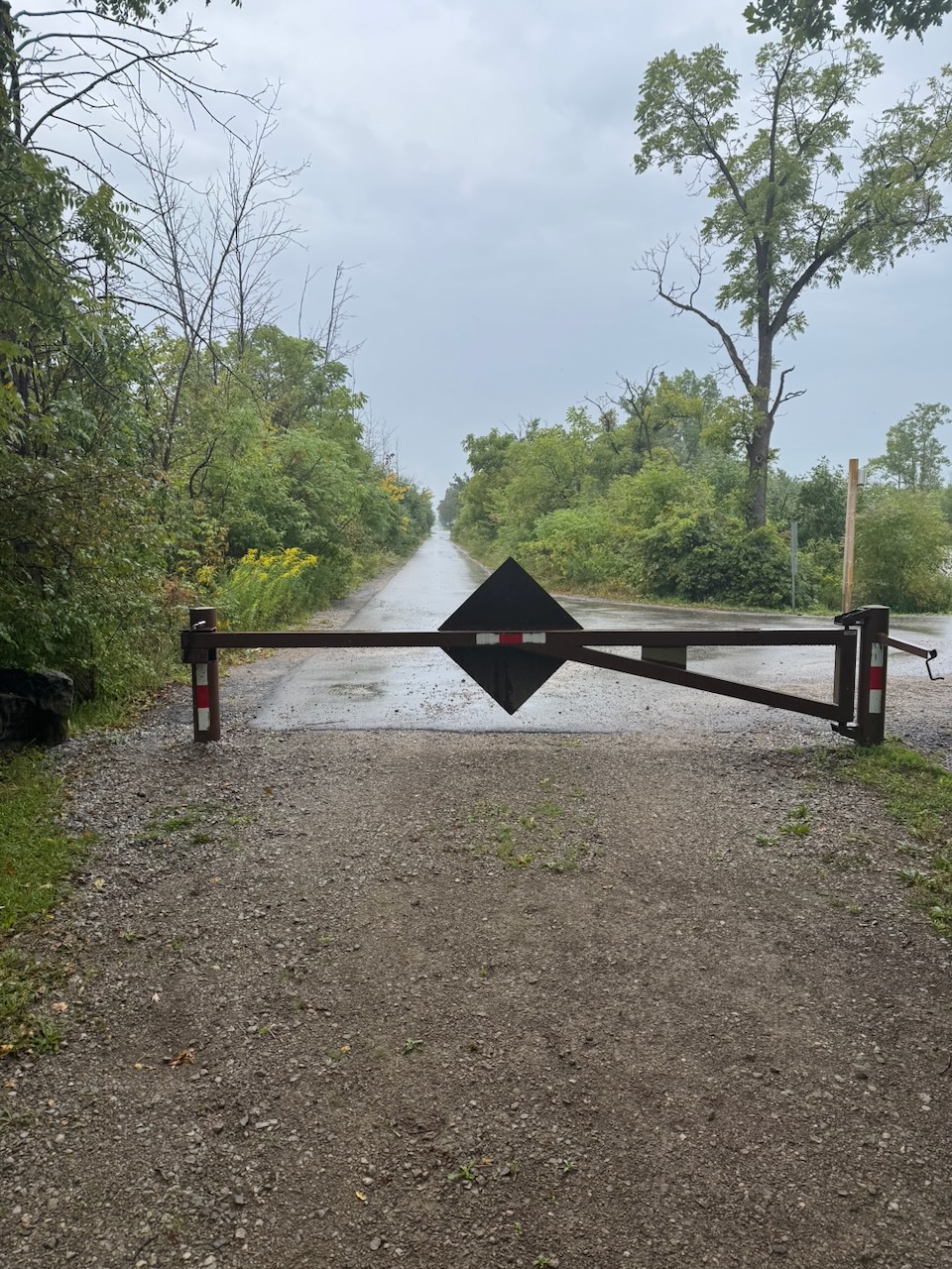
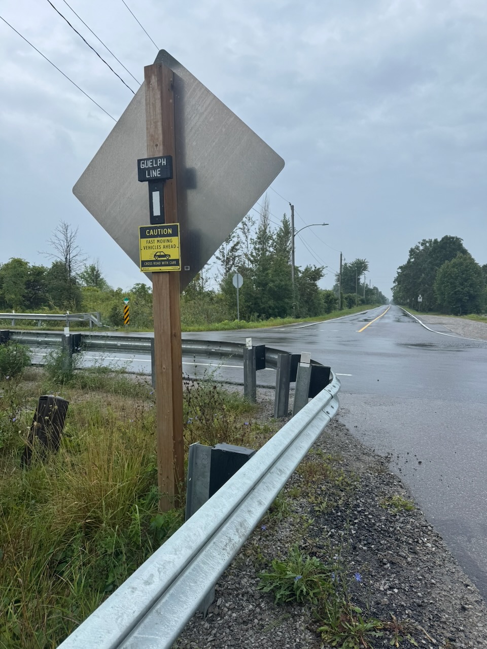
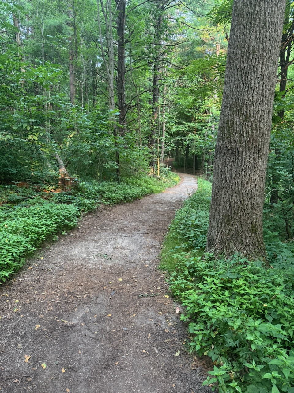
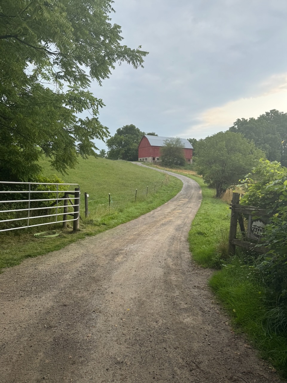
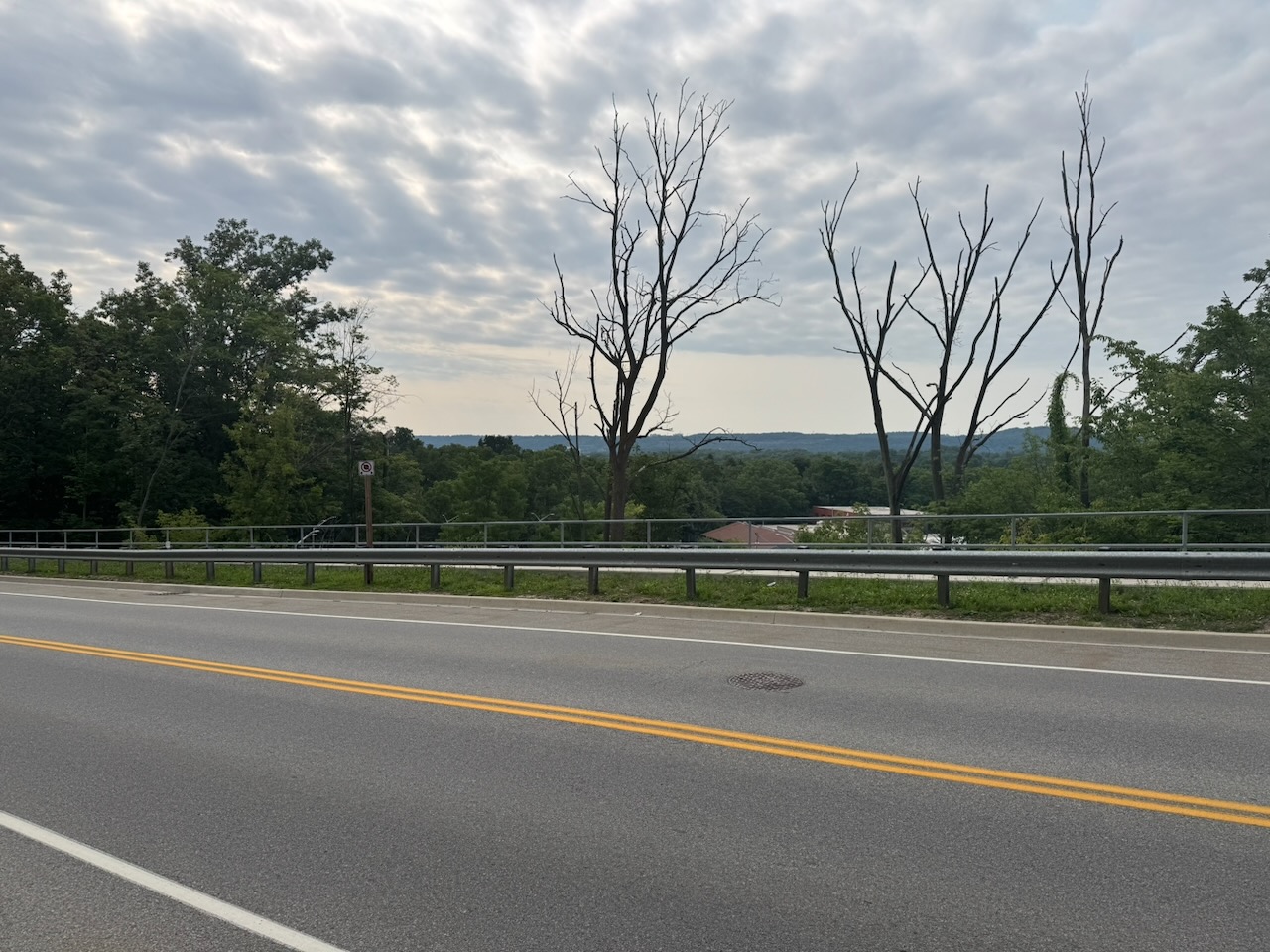
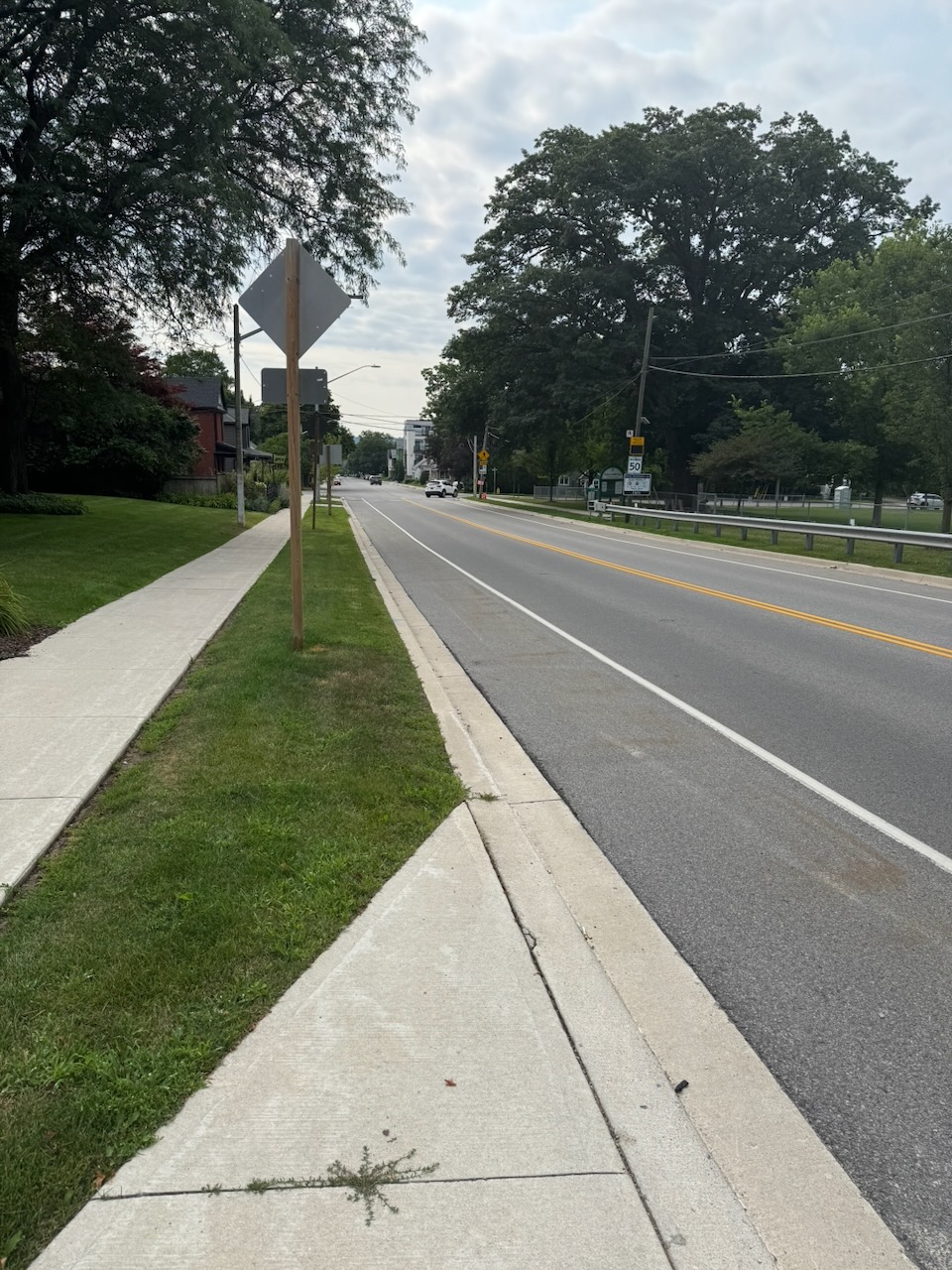
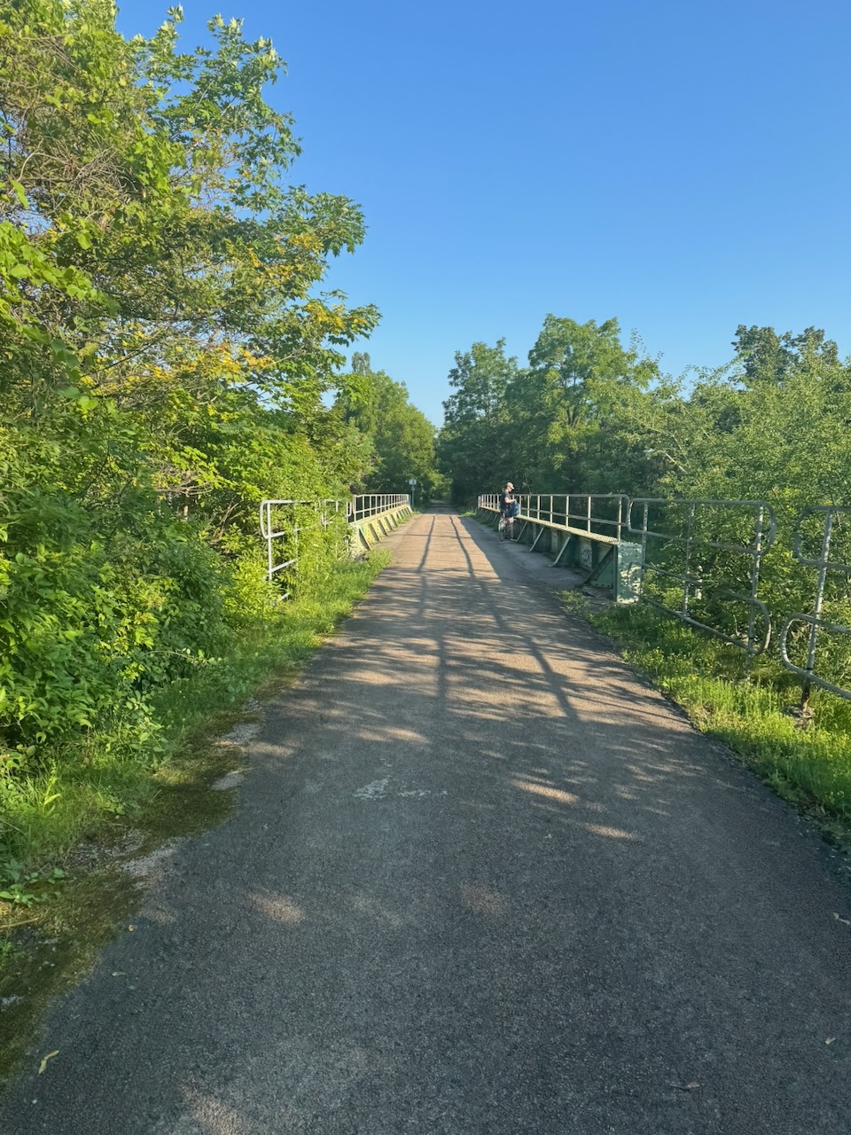
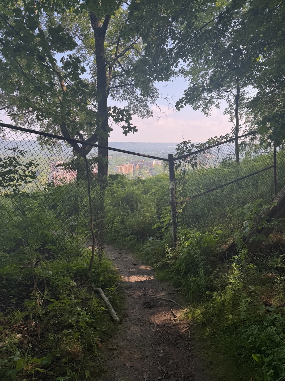
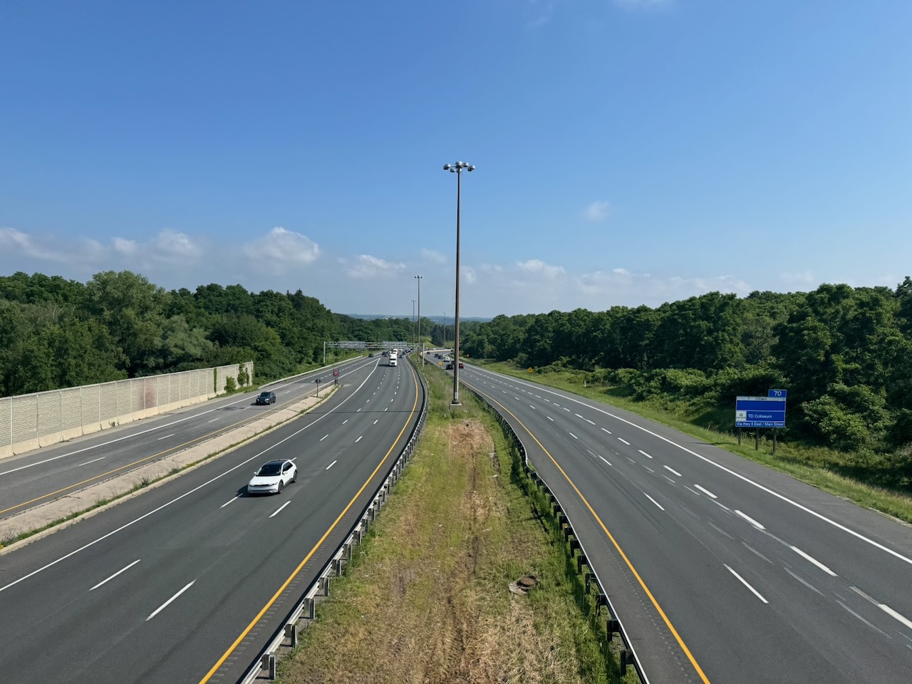
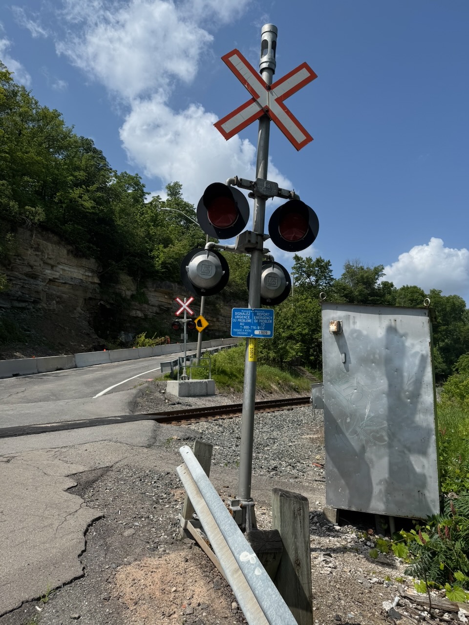
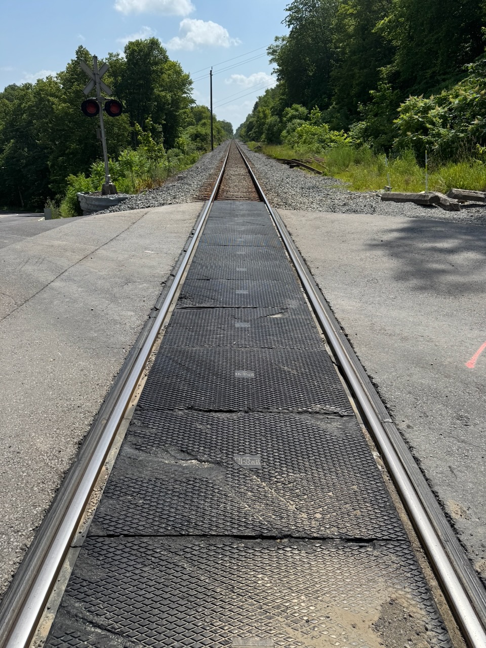
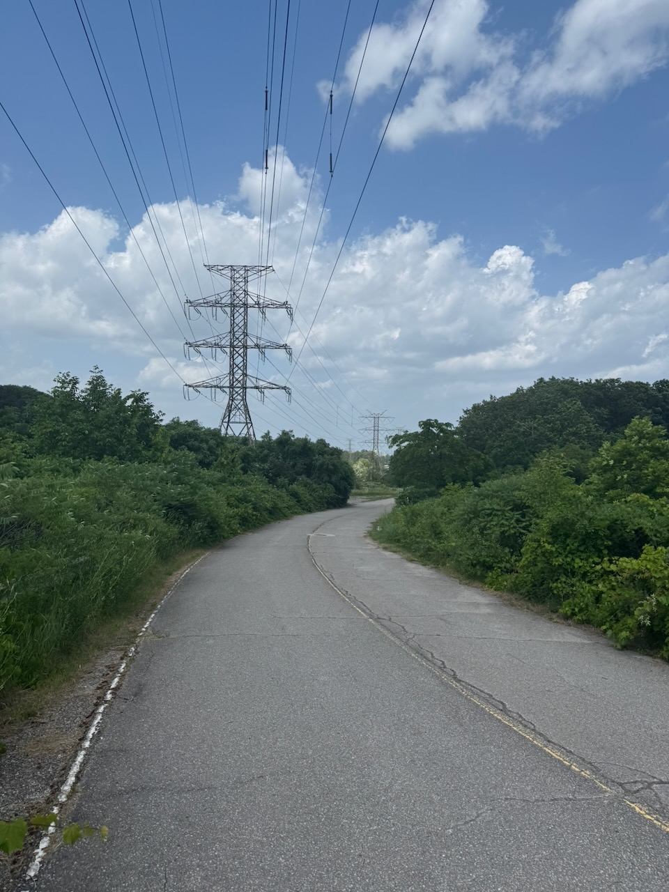
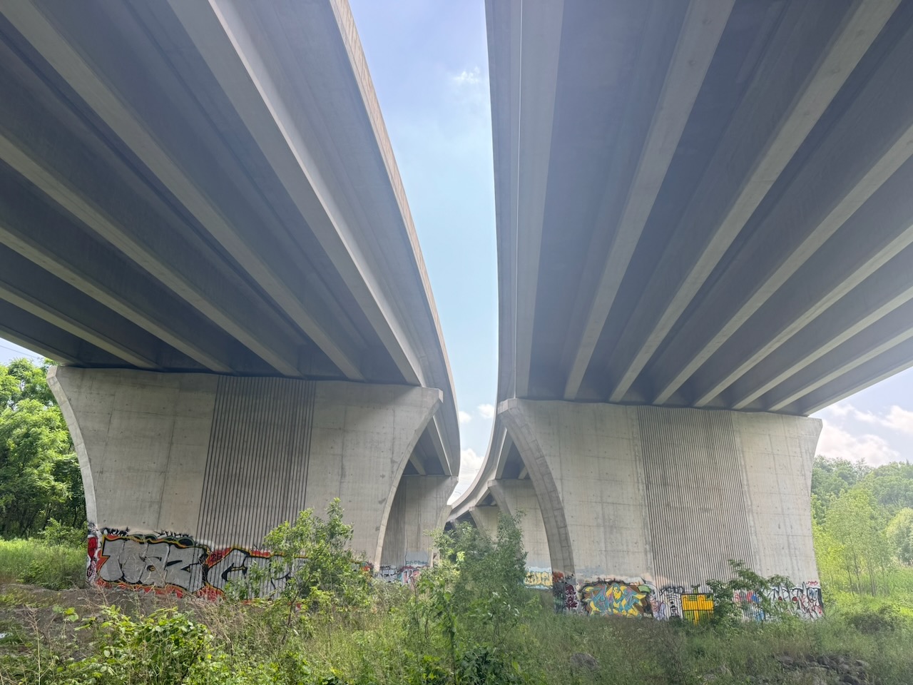
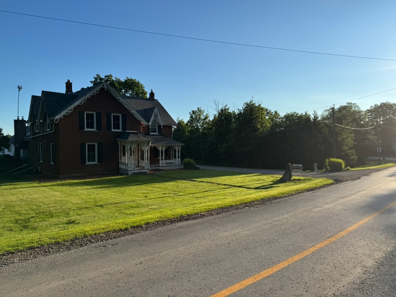
After this the first road section started, with the trail spitting me out onto Guelph Line. I thought that the road sections would be terrible like the last hike. However, instead of walking past strip malls and Shoppers Drug Marts, these roads were country roads, with farms, horses, cows etc. Since the roads were well paved, mostly flat, and with little traffic, I saw many cyclists. It occurred to me that walking has one advantage over other forms of transport: There’s no penalty for stopping. If you want to stop just for a moment to take a picture, look at something, or just listen, you can. Stopping your bicycle or car involves the bother of getting started again, and such vehicles seem to induce the desire to cover as much ground as you can. When you walk you can stop and listen to the crickets just because.

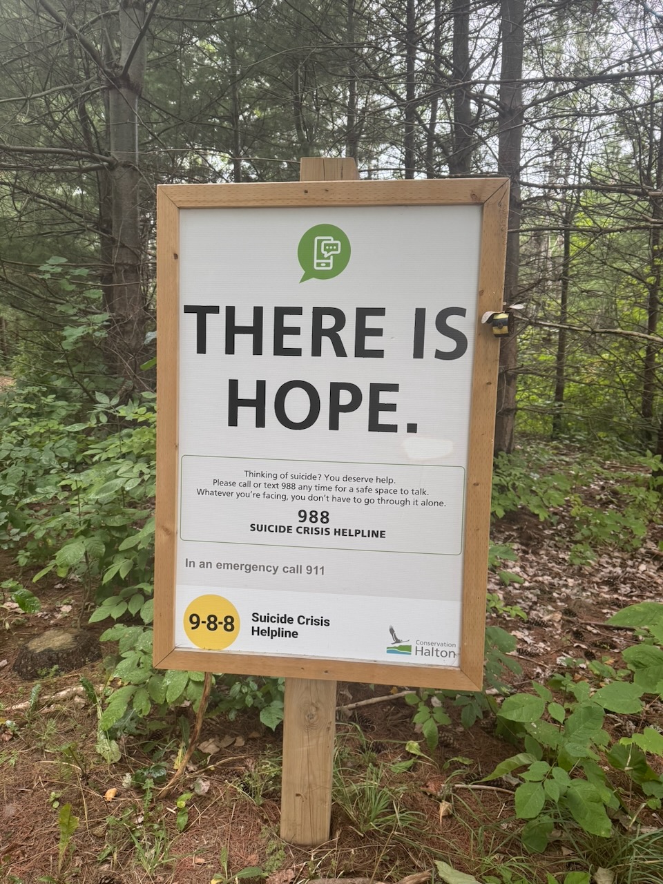
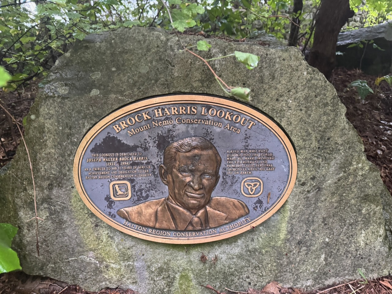
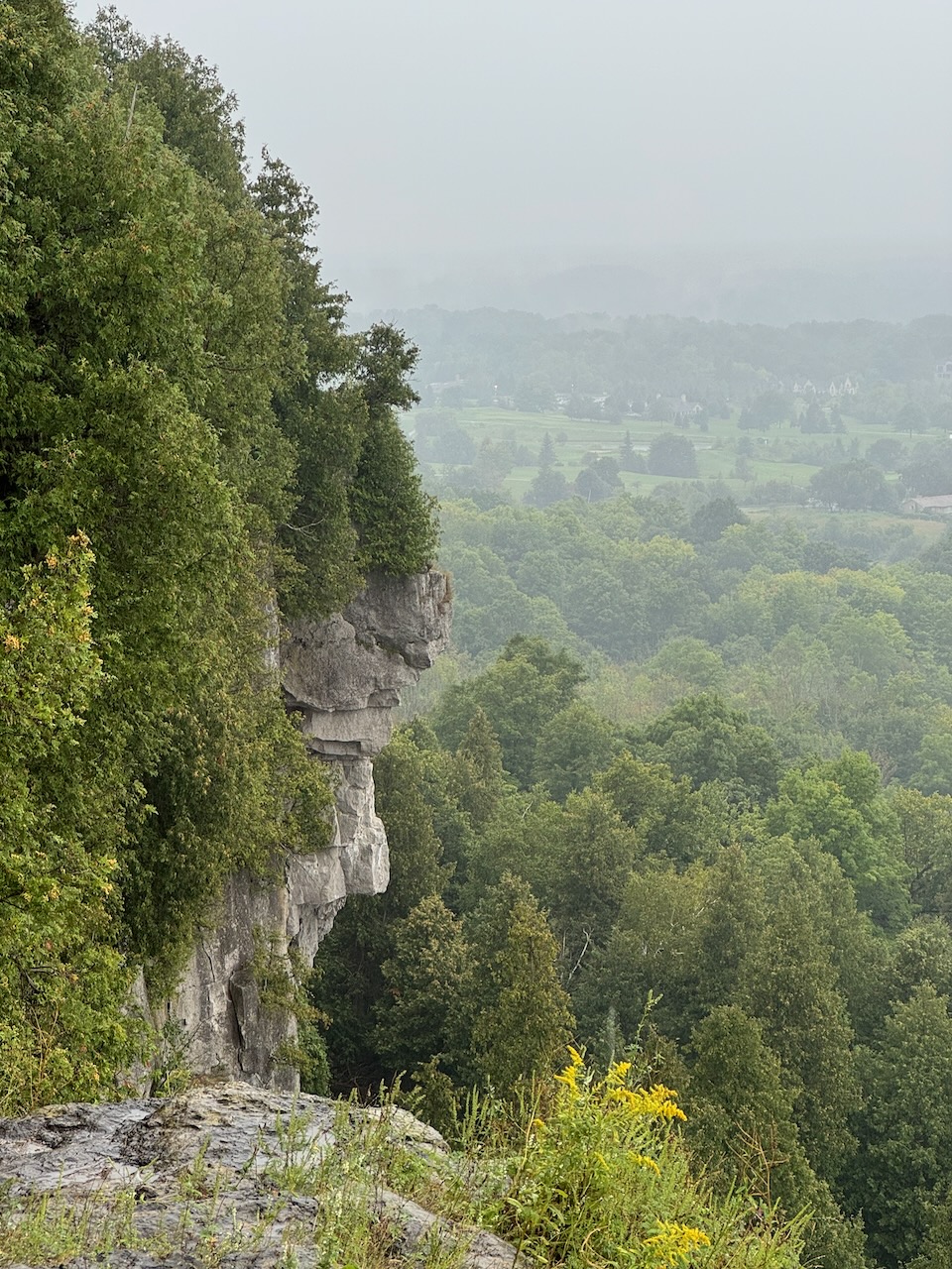
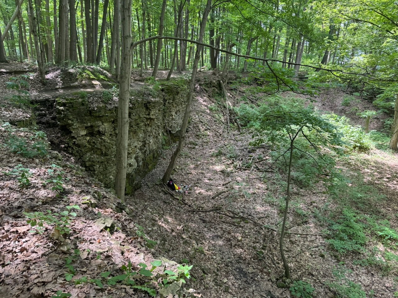
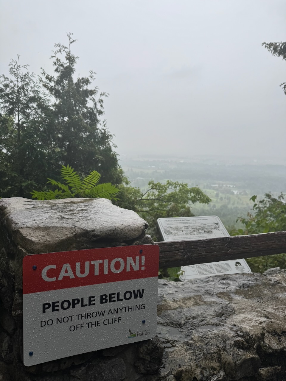
The roads ended at Mount Nemo Conservation Area. There are two large signs at the entrance. One telling you that all visitors must pay a fee. The other telling people not to commit suicide (presumably by jumping off the cliffs above). I’ve never been one for doing what other people tell me, so I didn’t pay the fee. I also didn’t commit suicide. Some advice is good advice. On a side note, I’d love to know if anyone has ever paid the fee, and then committed suicide. Maybe they could reduce suicides by offering a refund if you don’t kill yourself?

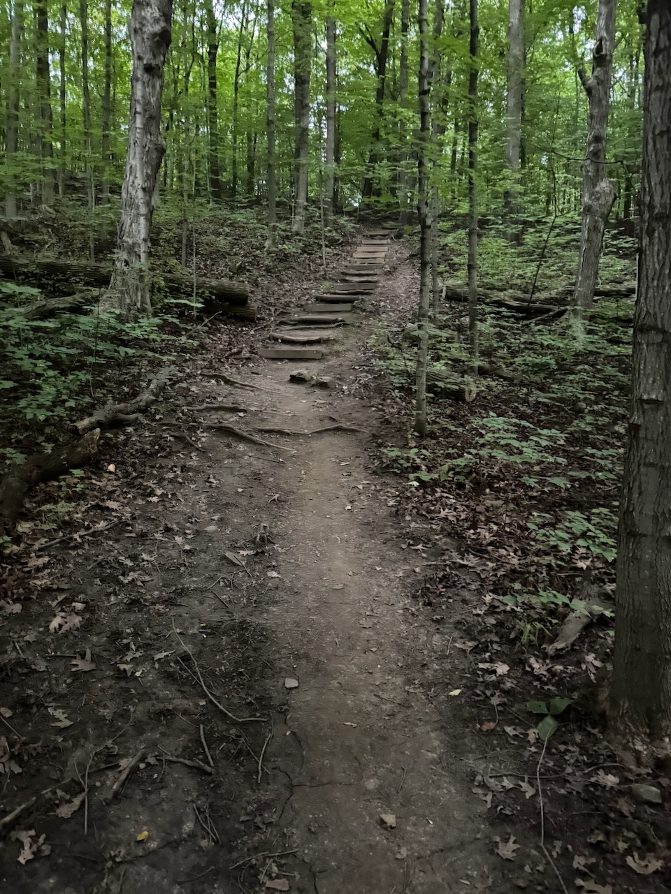
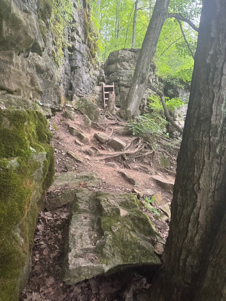
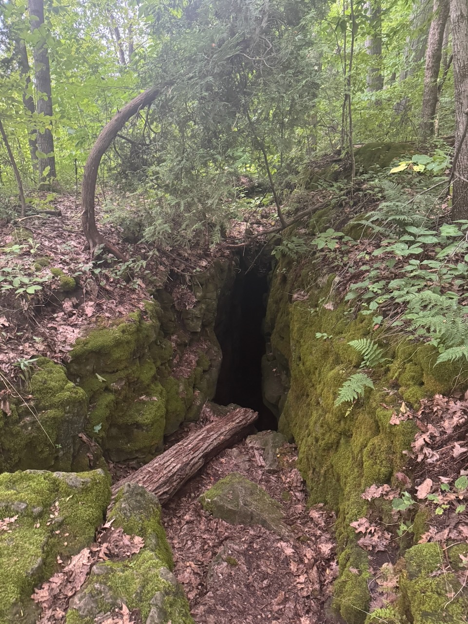
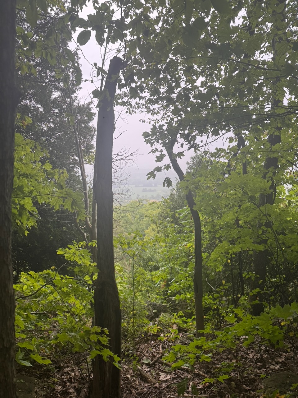
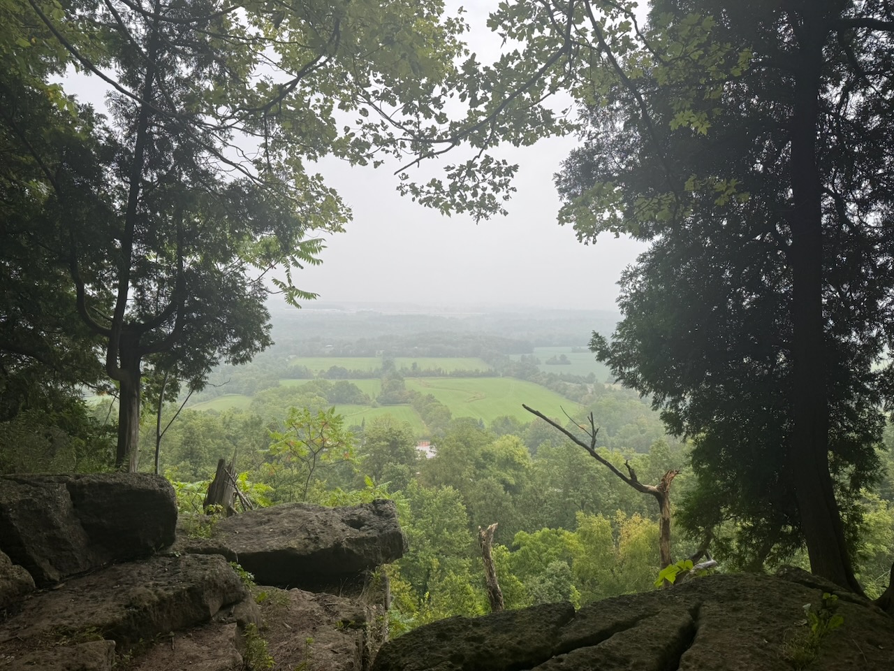
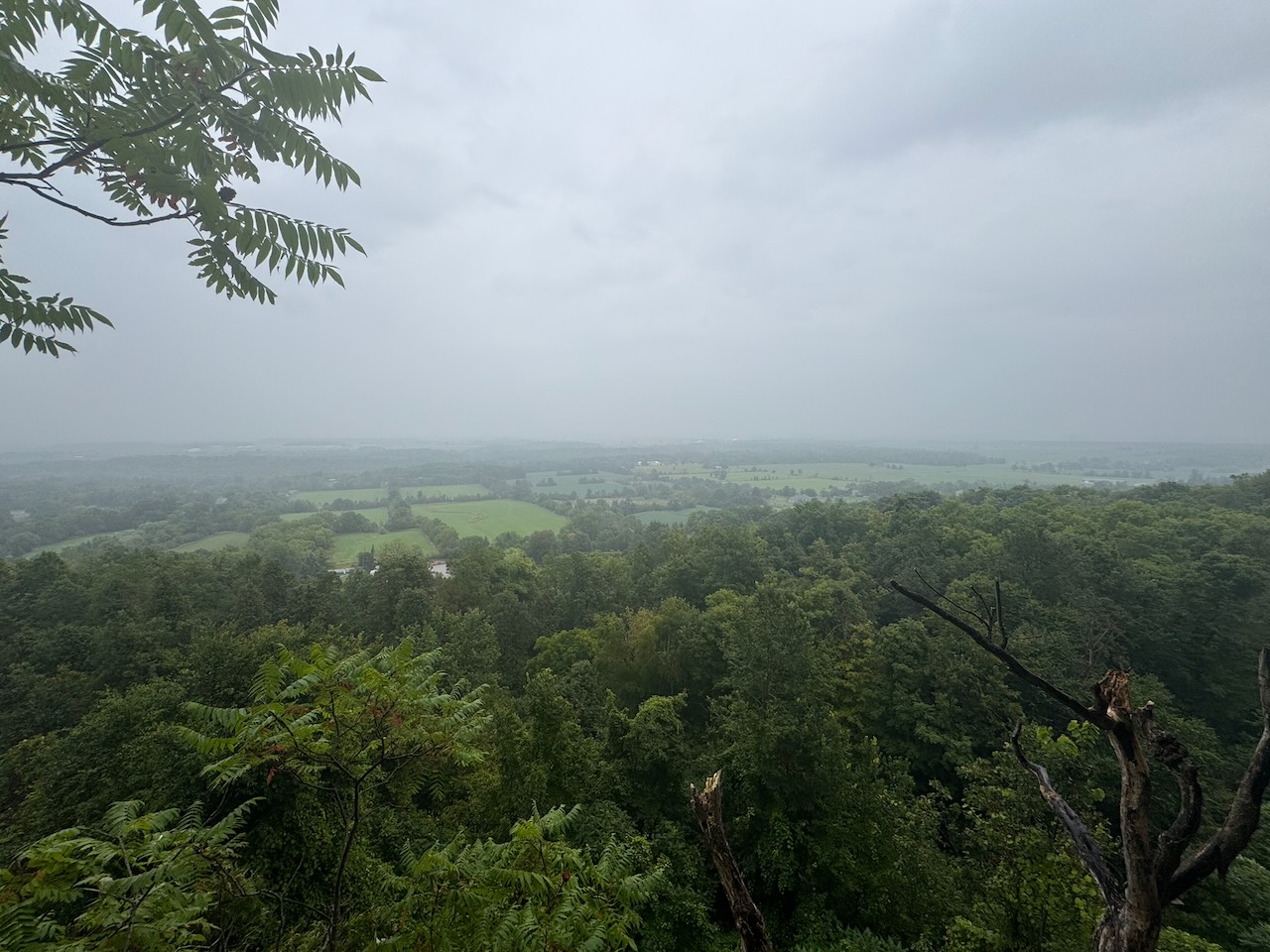
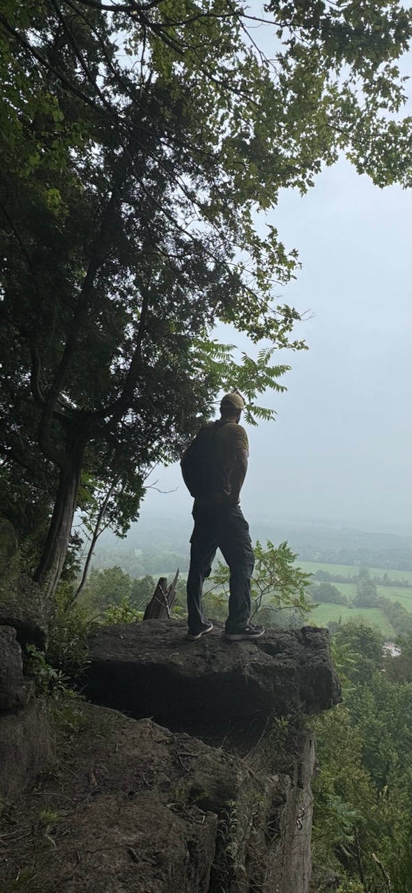
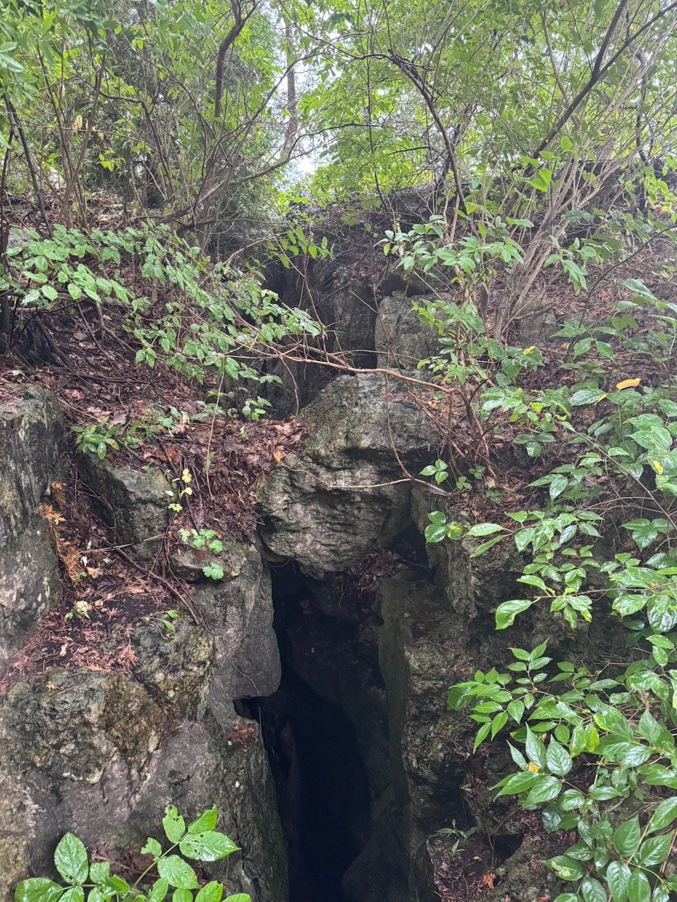
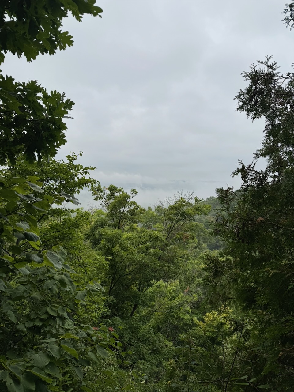
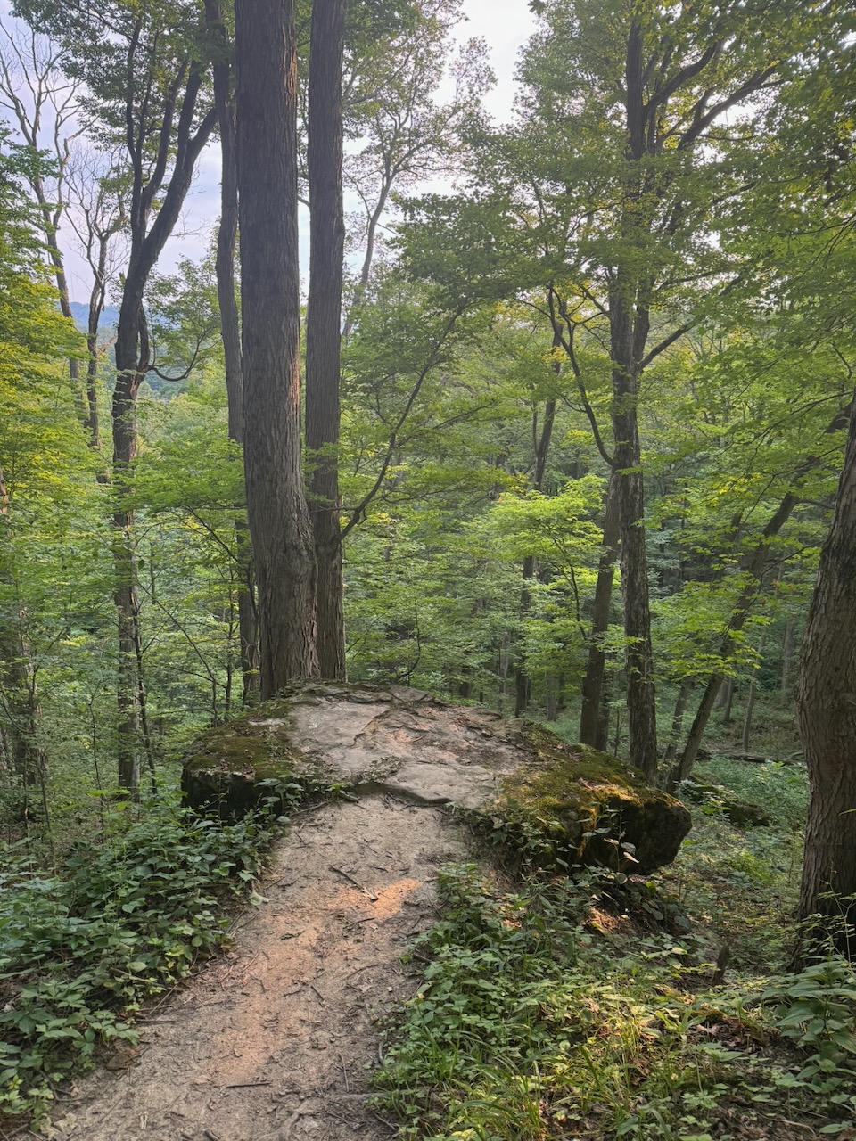
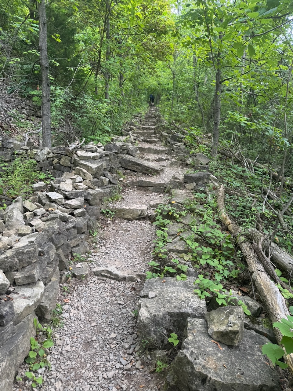
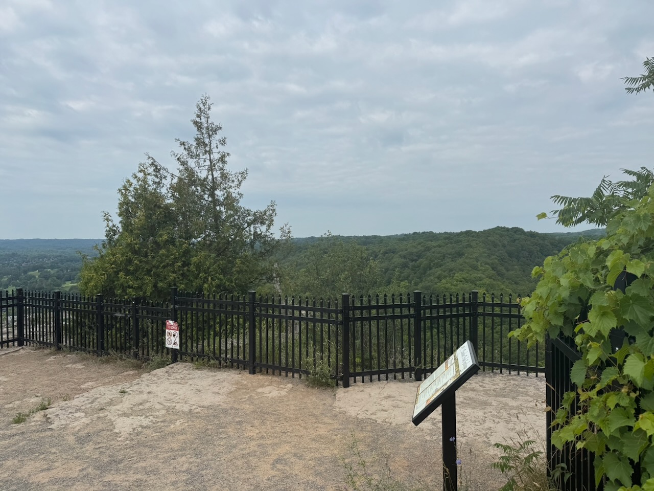
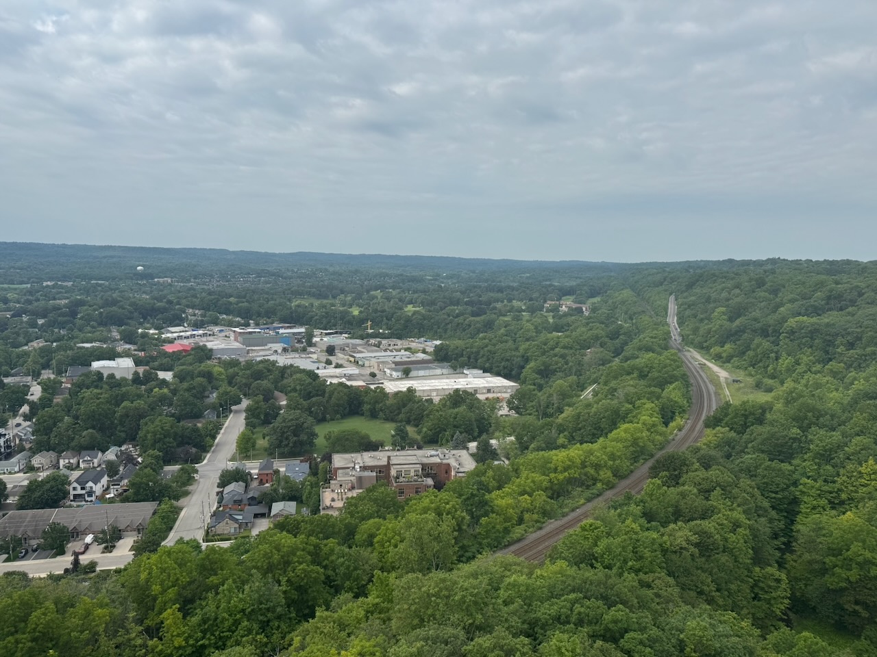
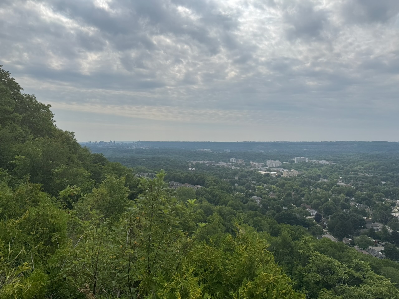
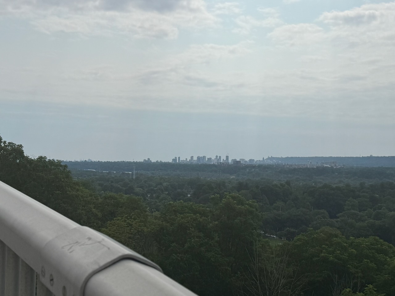
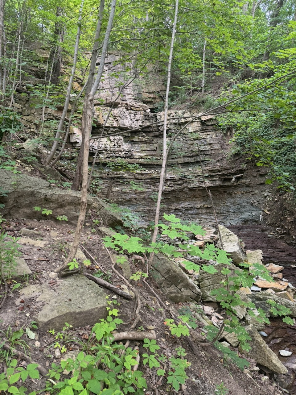
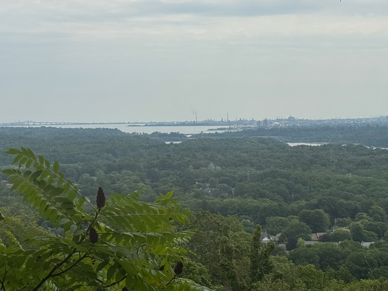
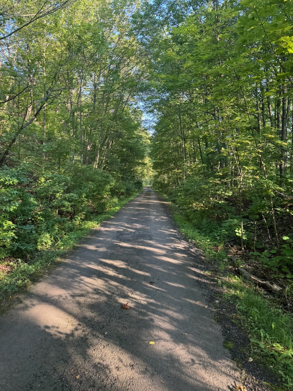
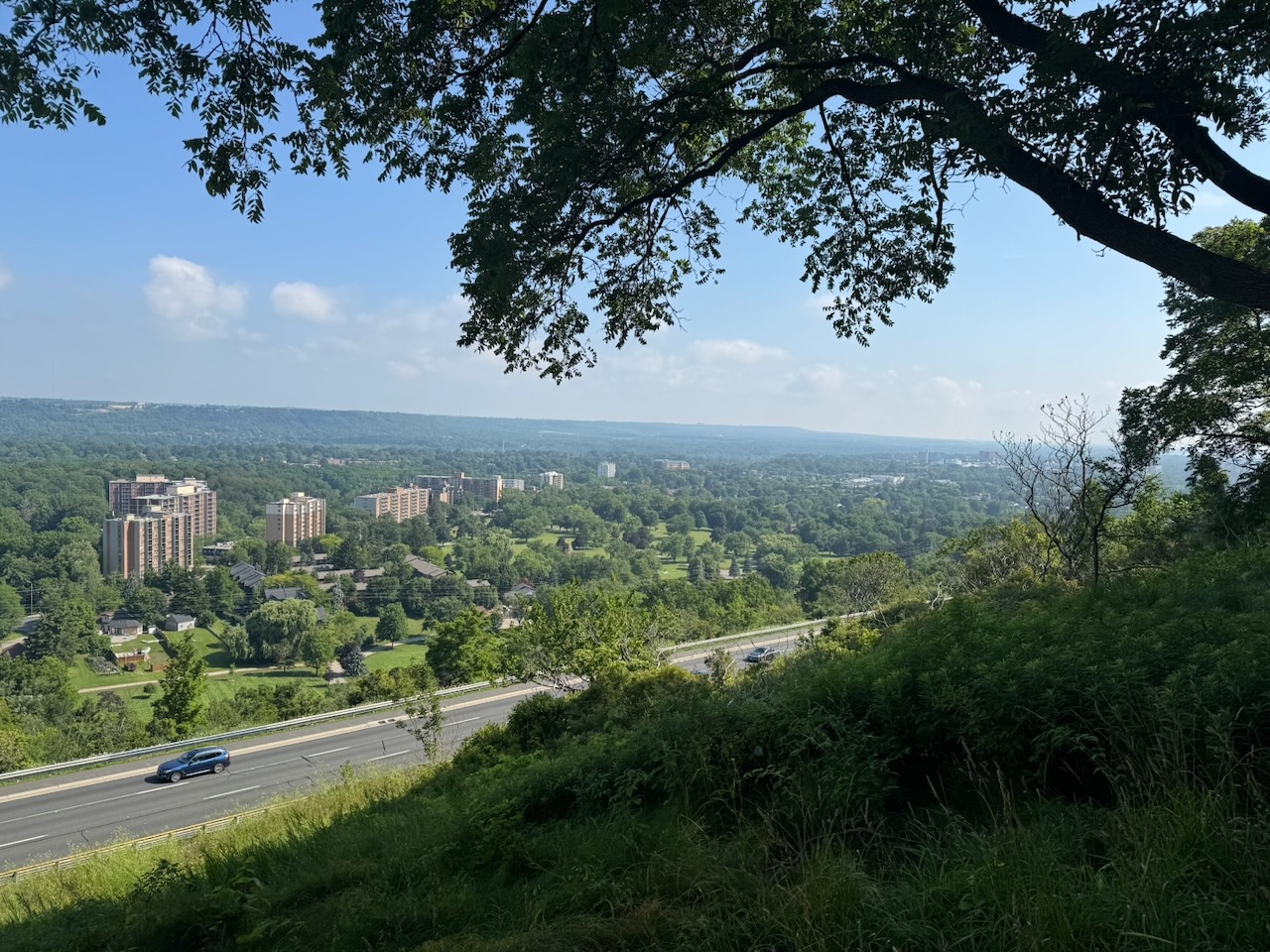
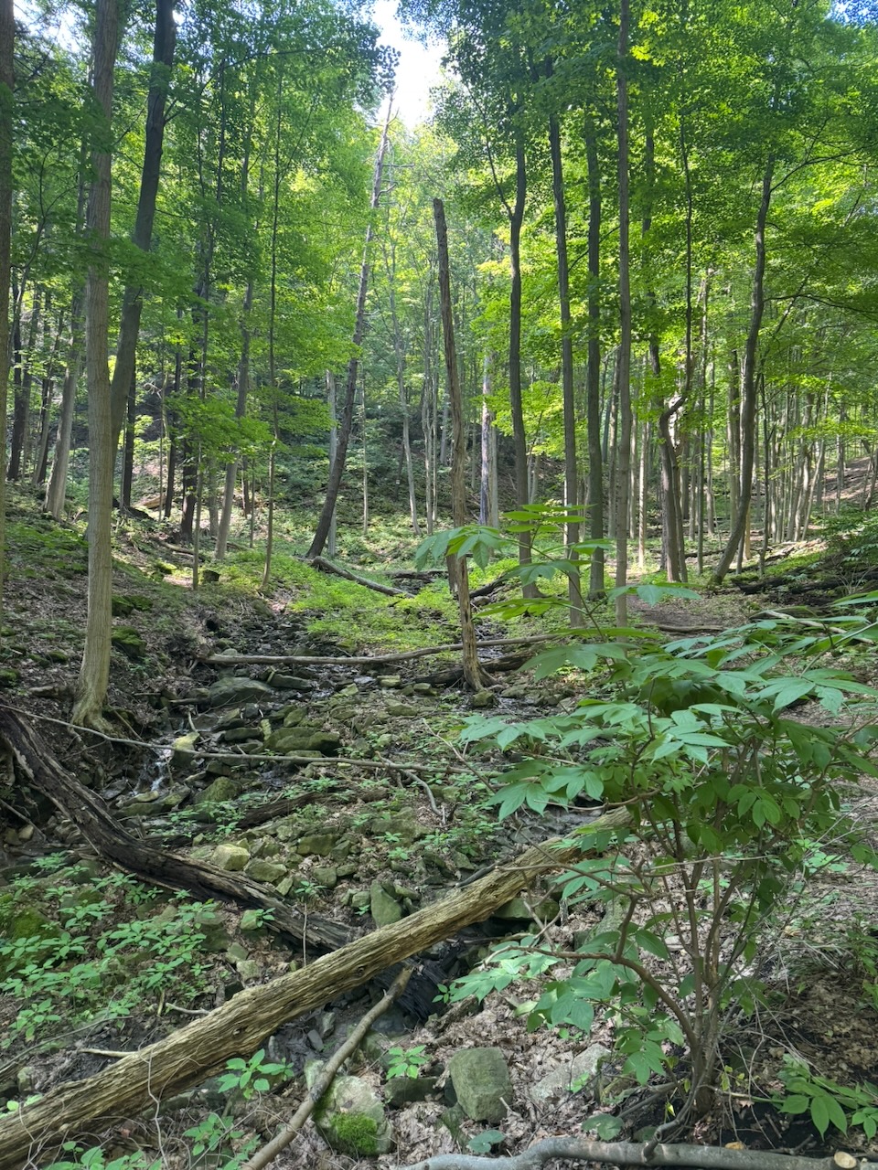
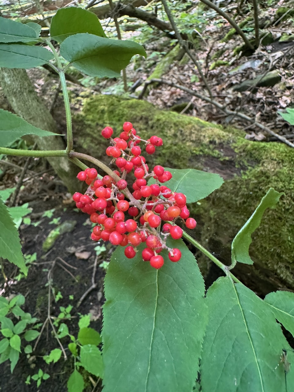
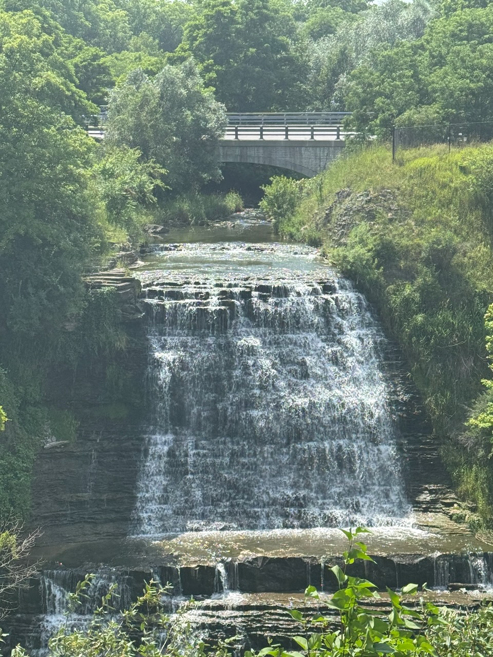
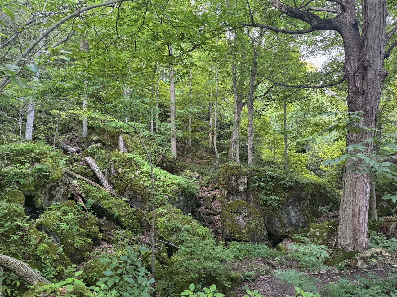
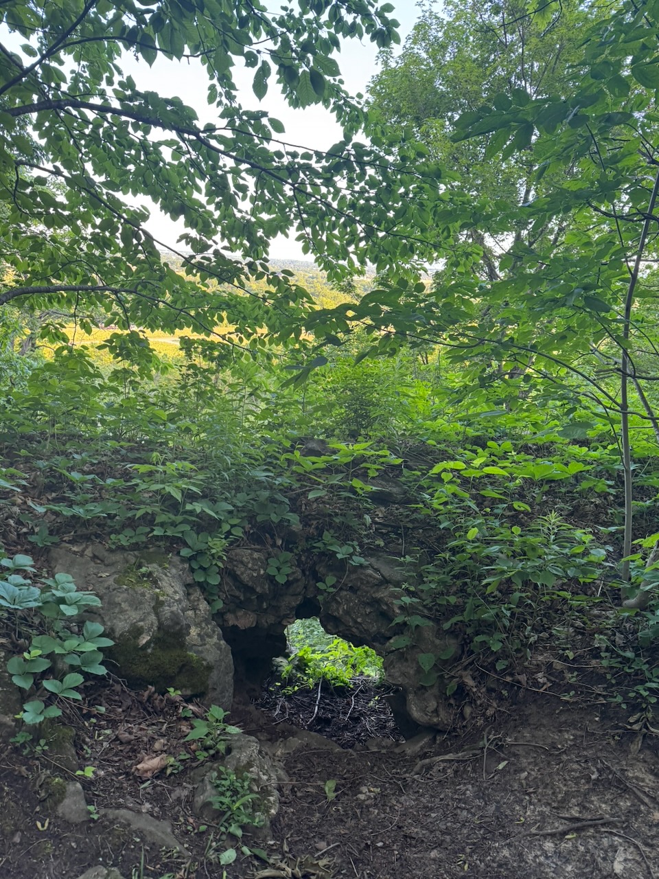
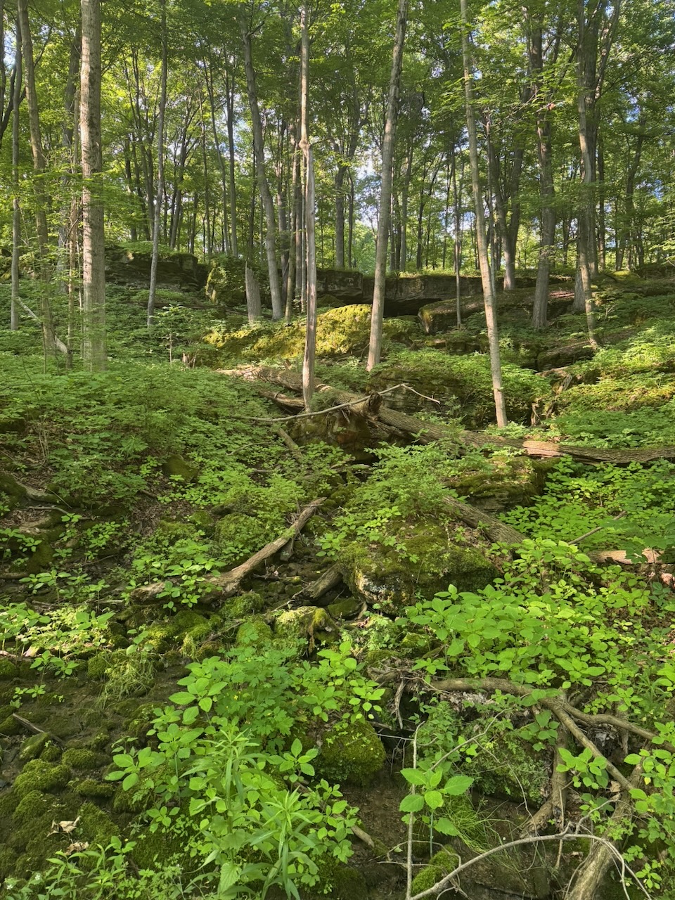
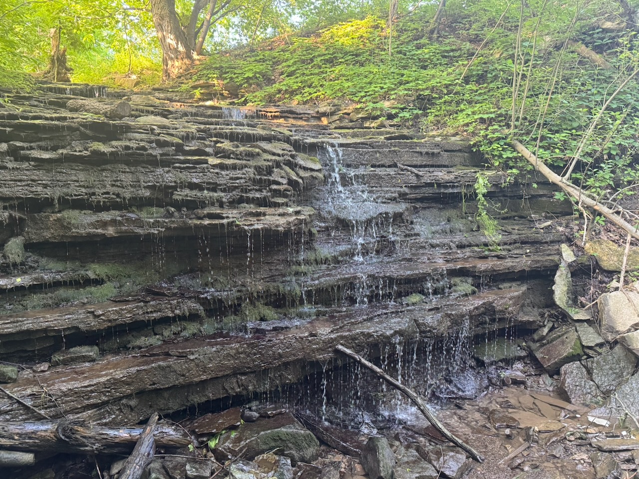
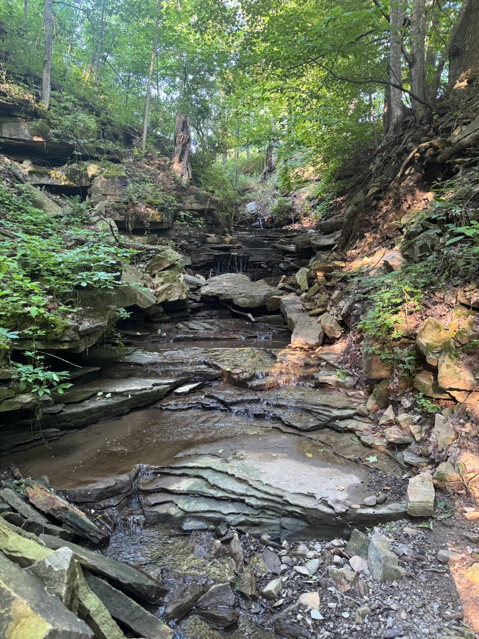
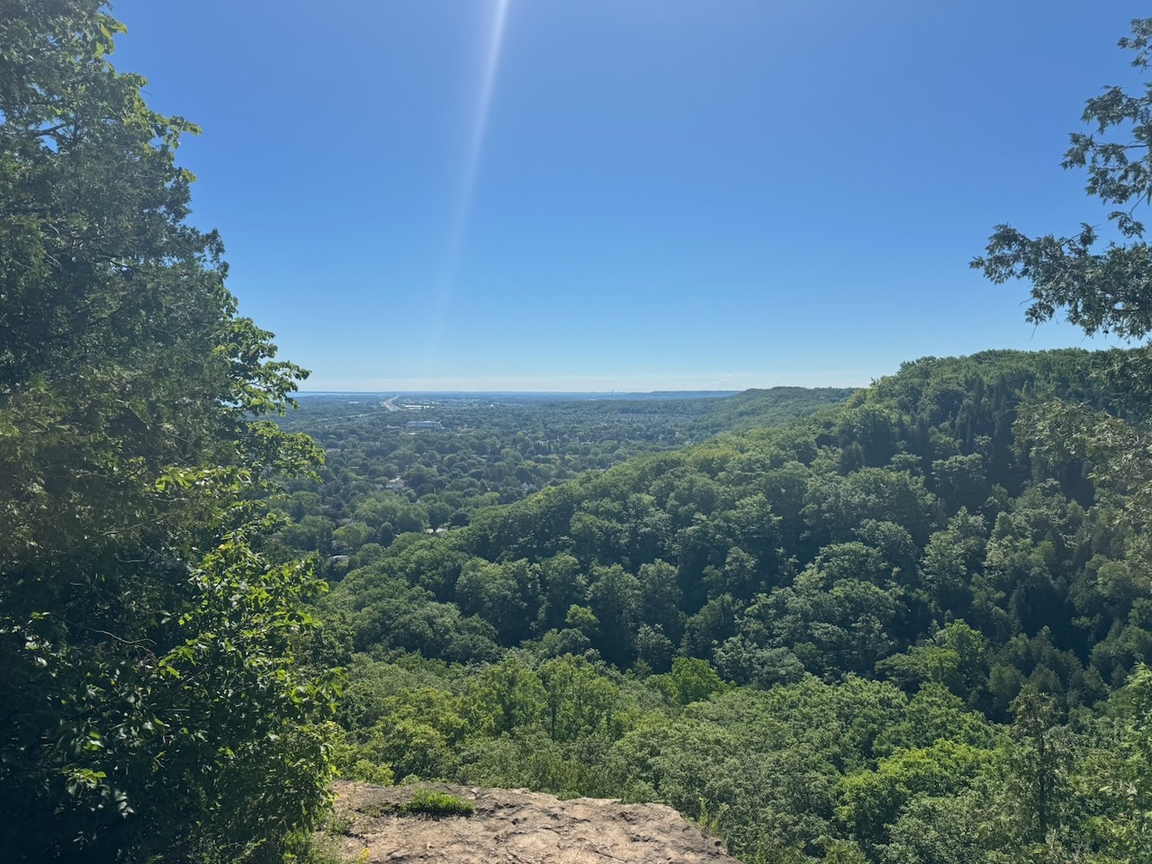
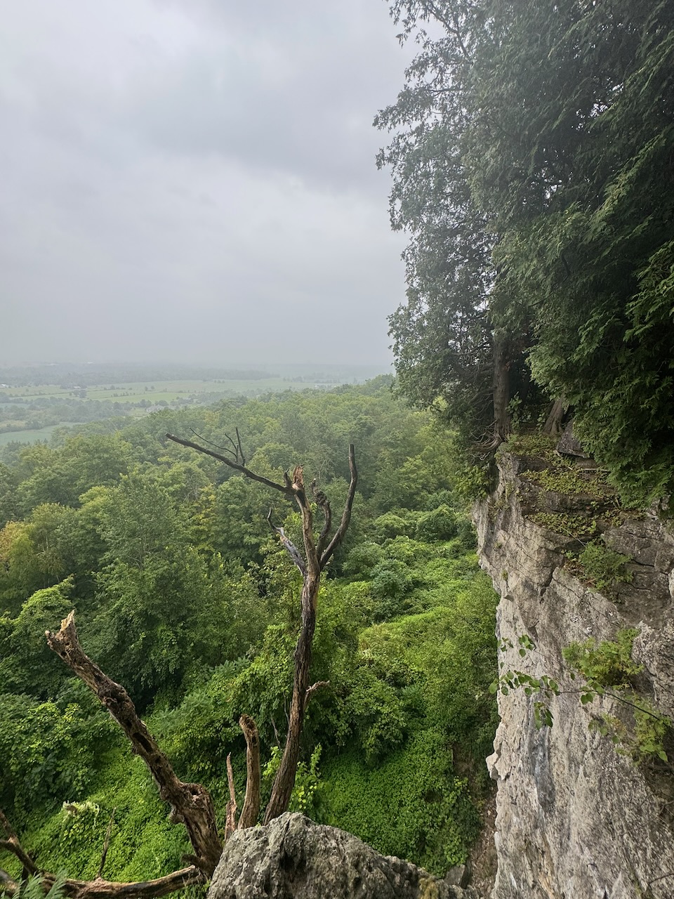
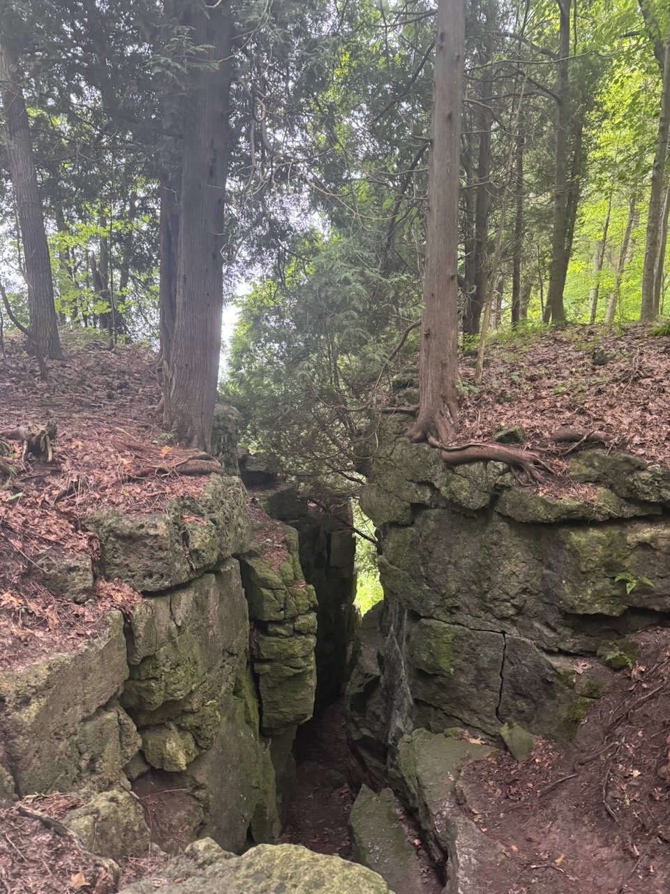
Mount Nemo was fabulous, with rock formations, caves, and lovely views. The views were somewhat hampered by the clouds and rain though. Yes, the rain. Even though it wasn’t supposed to start until the afternoon, it was now raining heavily. With a huge stroke of luck, the rain was almost entirely confined to the time I’d be walking through forest, before another road section. The large trees kept me dry for the next hour. One thing I noticed, the driest trees to be under were cedars. The ground could be soaked under maples and oaks, but underneath the cedar trees is was dry as a bone. If anyone reading this (ha!) knows why, message me.

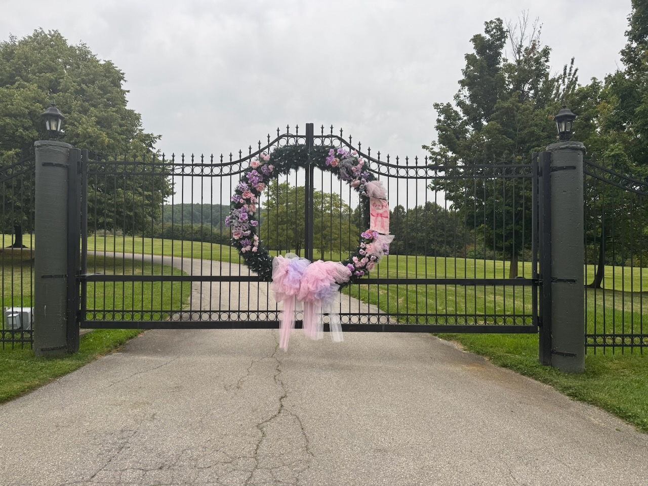
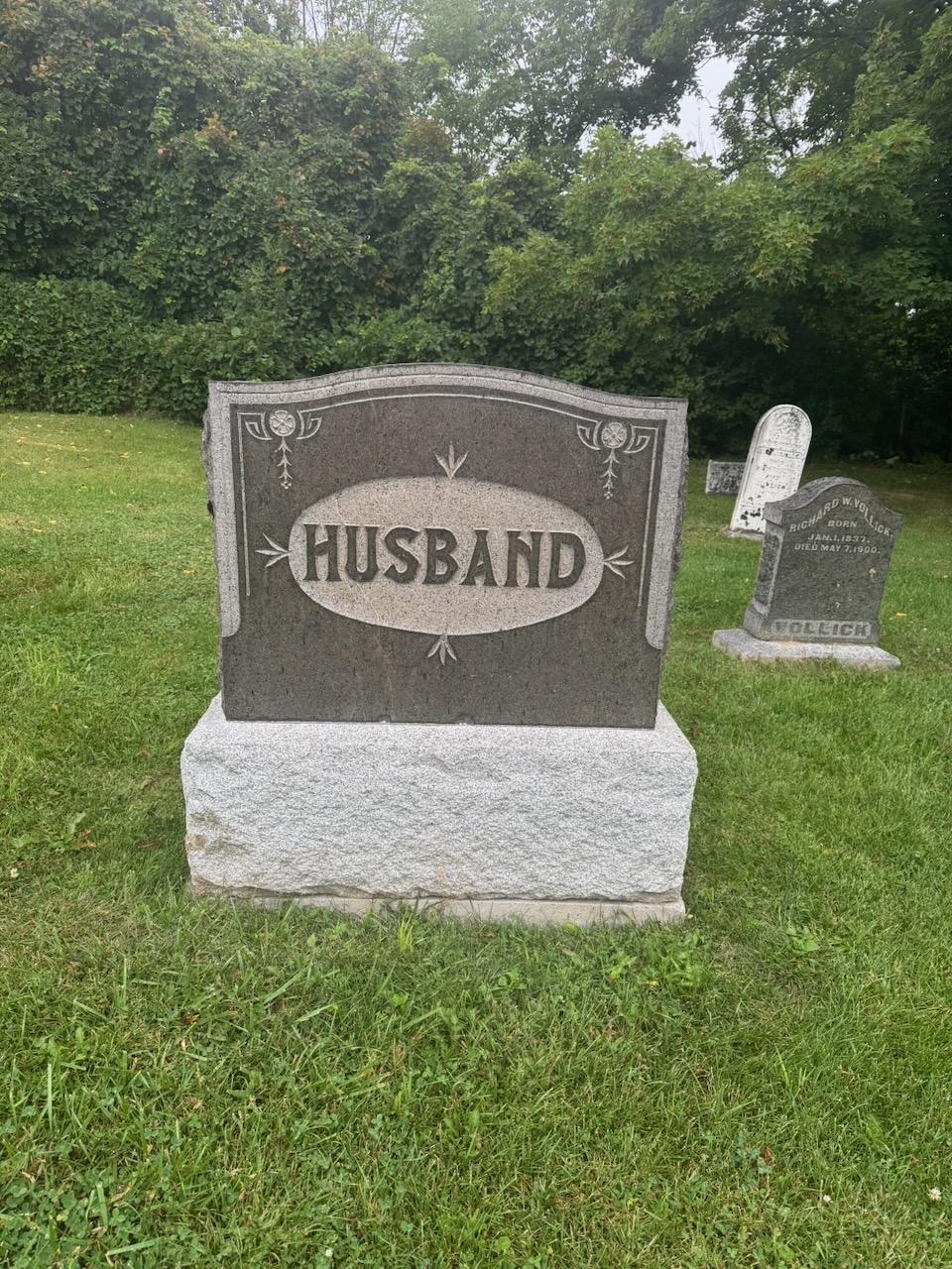
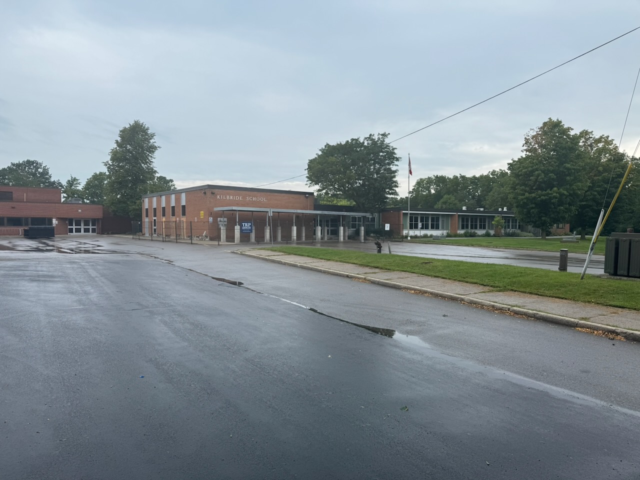
After Mount Nemo I was spit out onto… GUELPH LINE?! Apparently Guelph Line is like the ATL of southwestern Ontario, no matter where you’re going you transfer through it twice. After another short woods section I was spit out onto the roads once more and decided to stop in the town of Kilbride, Ontario. You’ll notice on this hike I passed a gravestone with only the word “Husband” on it, and finished up at Kilbride. If the universe is trying to send me a message I’m not sure what it is.

No problem getting an Uber this time, and the car was still where I’d left it. After one more hike I think I’ll be done the Iroquois section of the trail.

Only 687.9km to go!
Hike the Bruce Trail Day Ten: The Long Road

Hike the Bruce Trail Day Nine: The Grind

Oh dear, it is as I feared, there’s not so much to talk about.

Start: Royal Botanical Gardens Rock Chapel Sanctuary

End: Springer Cres.

Distance: 21.1km

Weather: 25C and sunny

Screenshot

I had to pay $15 to park this time. Combined with the fuel to drive there/back (91 octane), plus the Uber trip to the start point, this is turning into a bit of an expensive hobby.

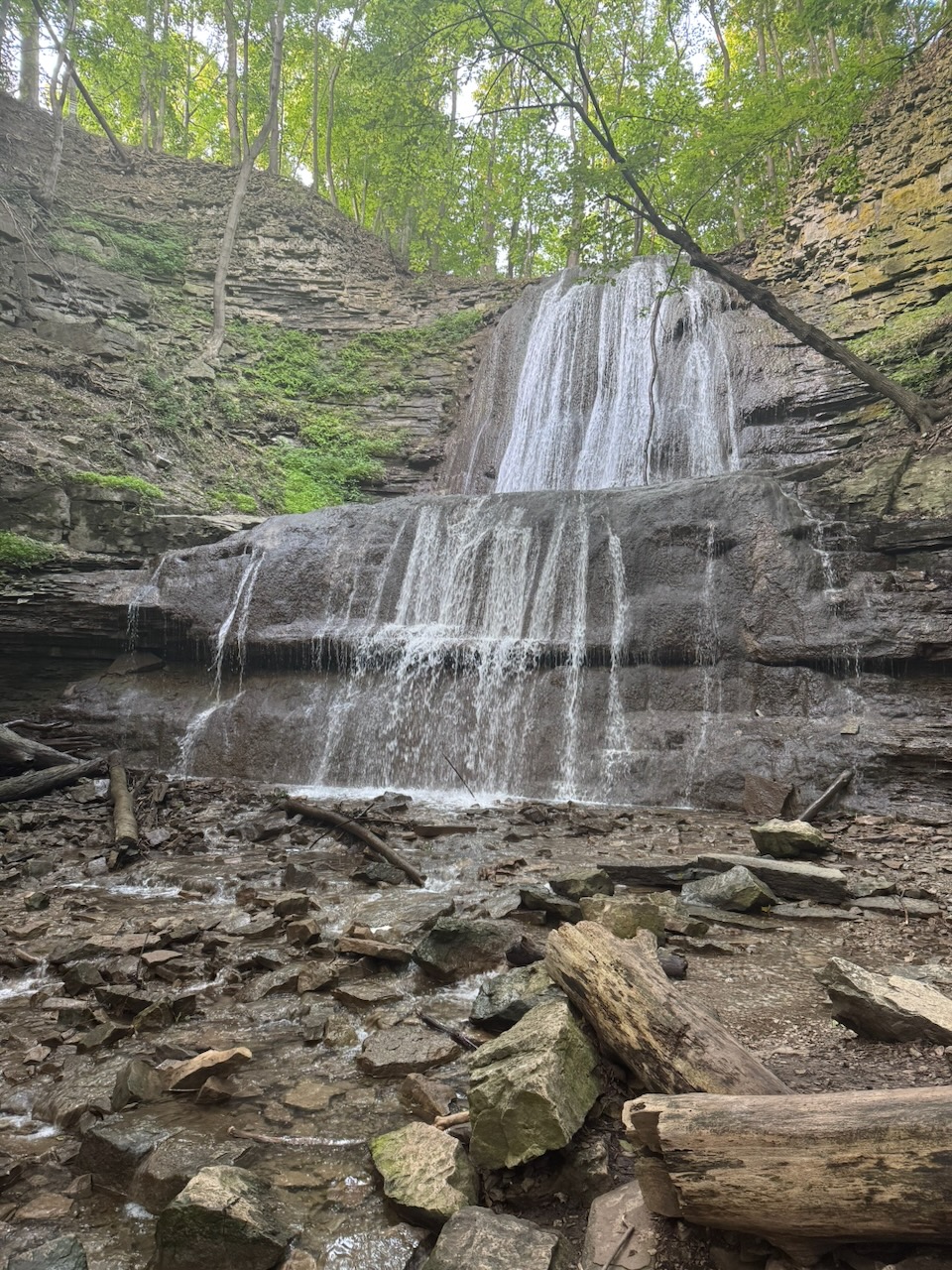
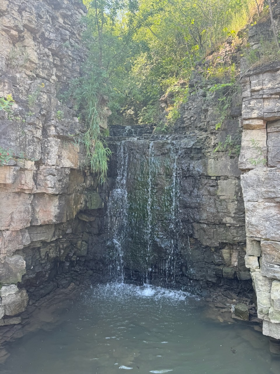
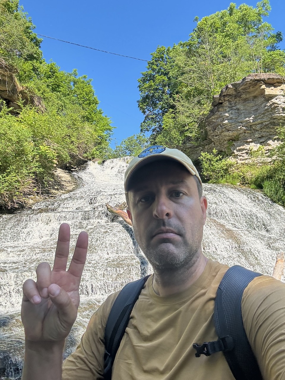
Borer’s Falls was immediately to the east of my start point and was lovely.

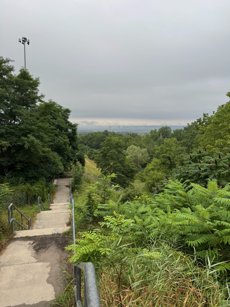
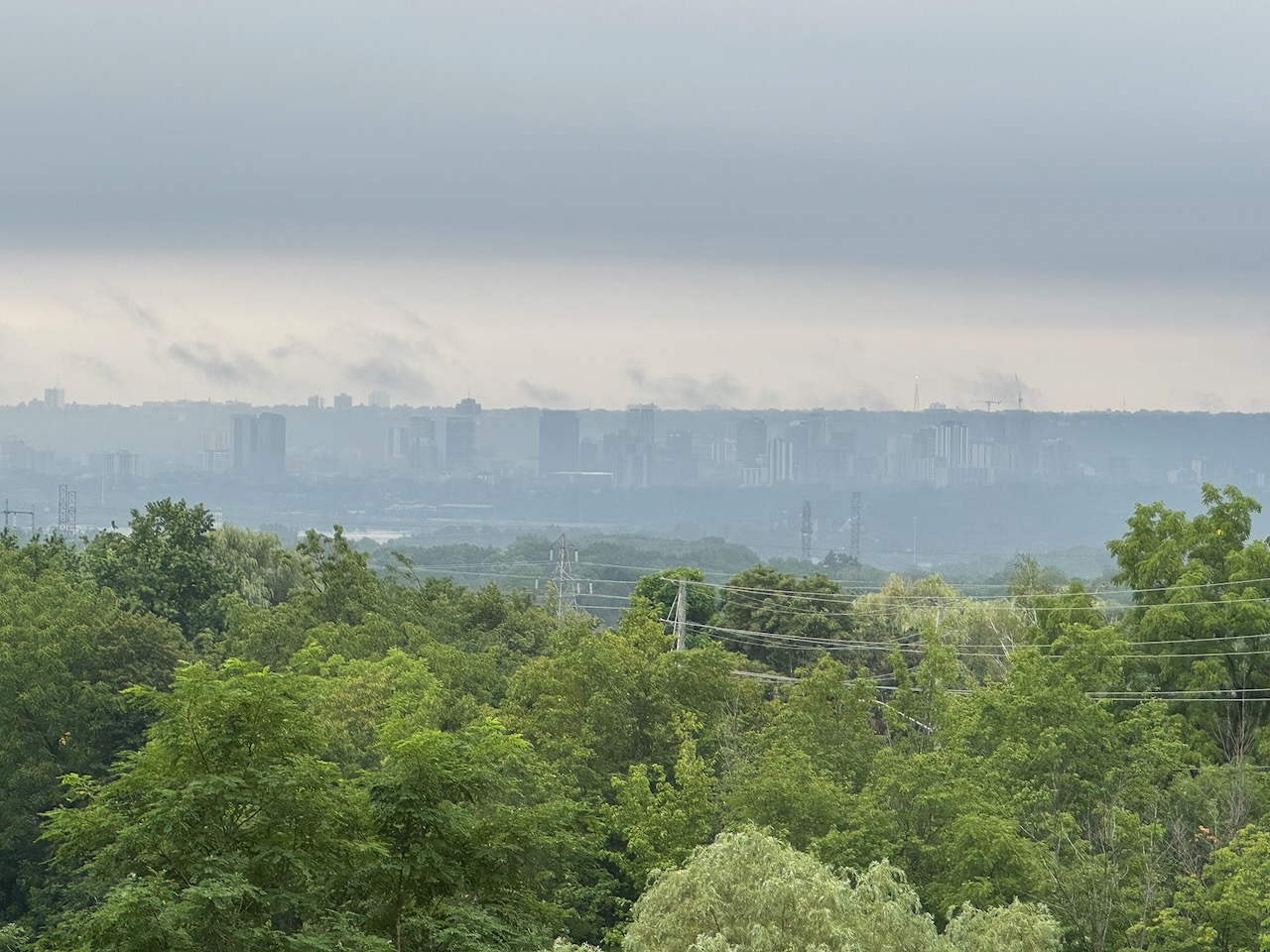
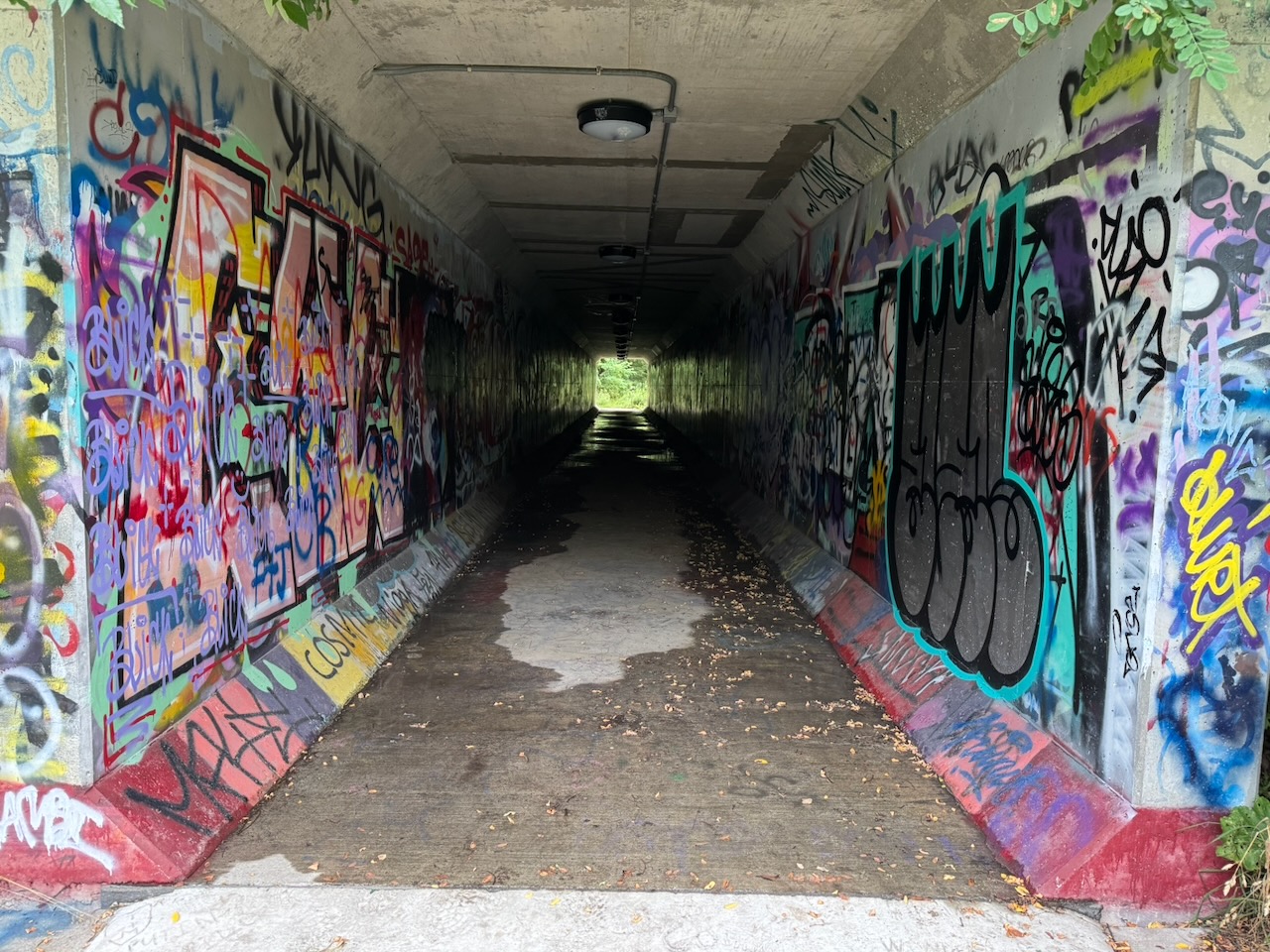
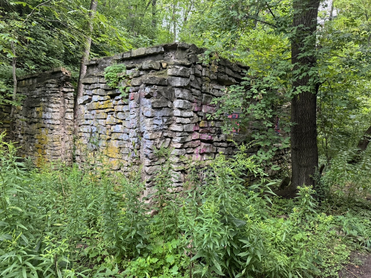
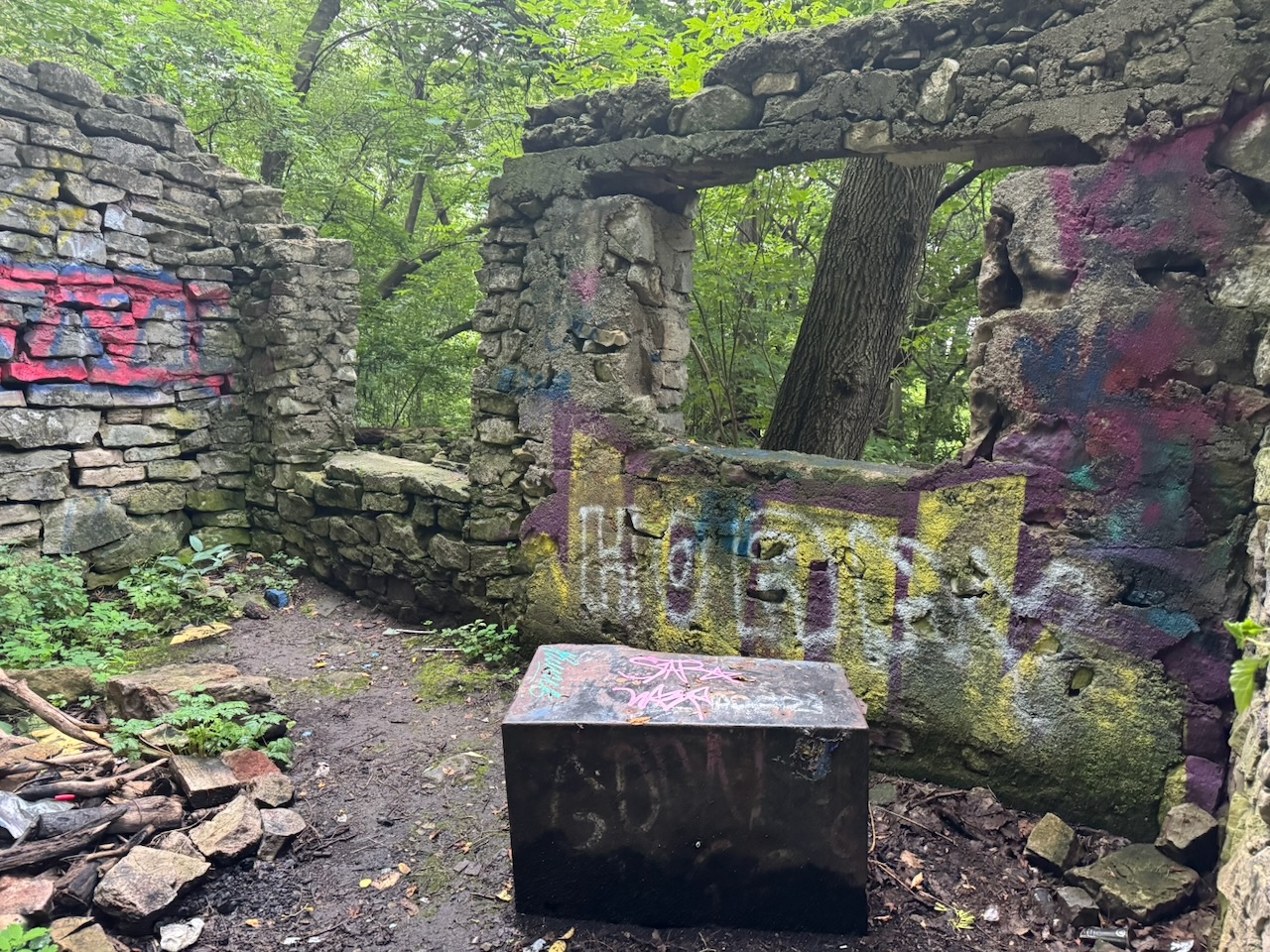
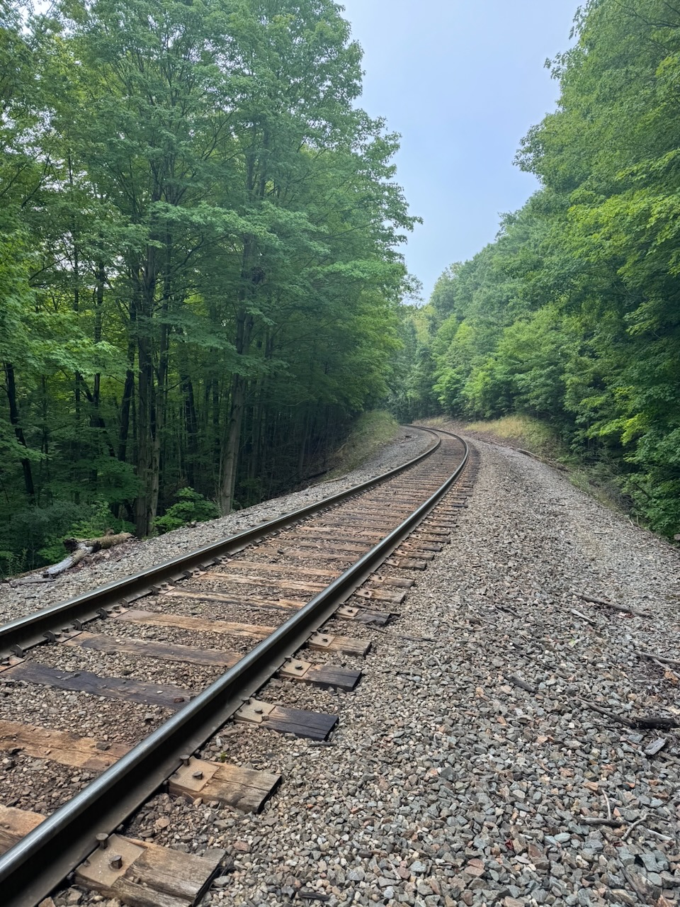
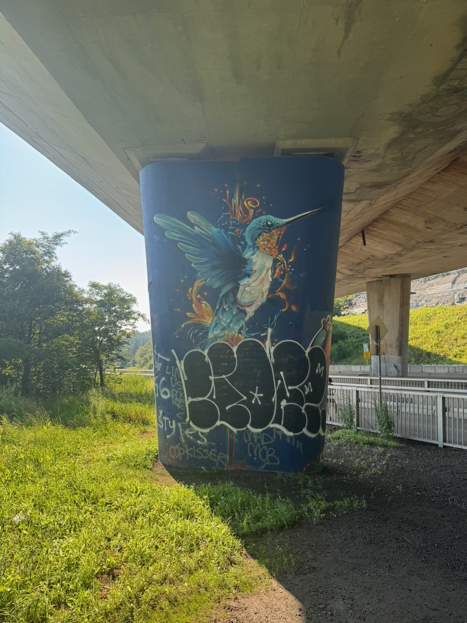
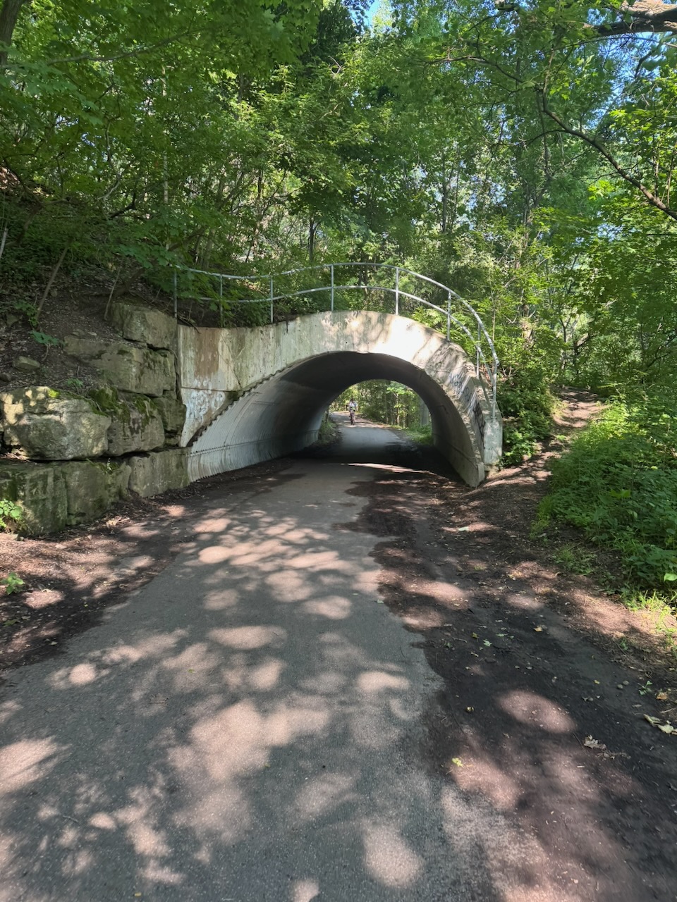
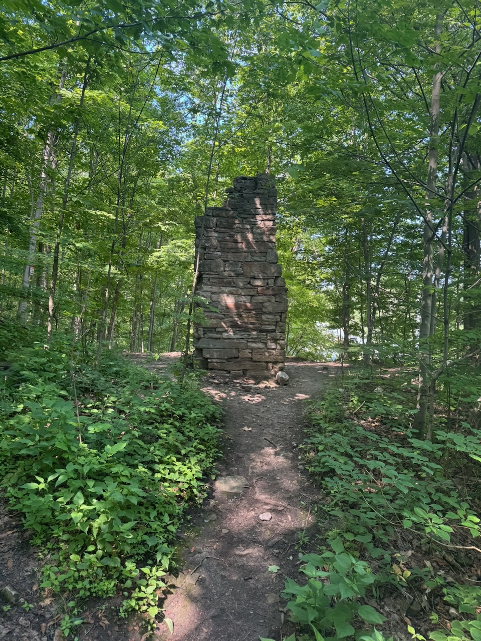
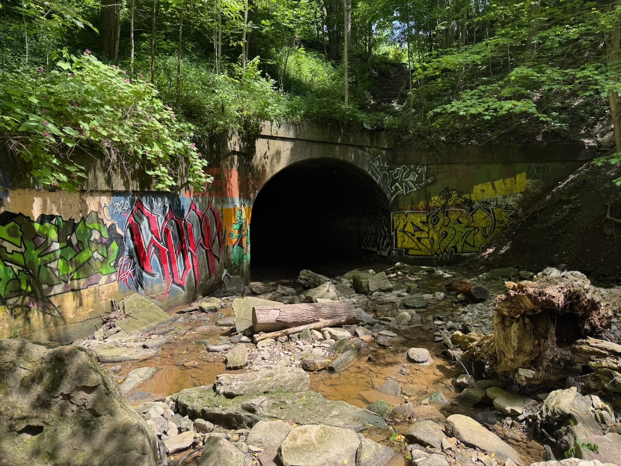
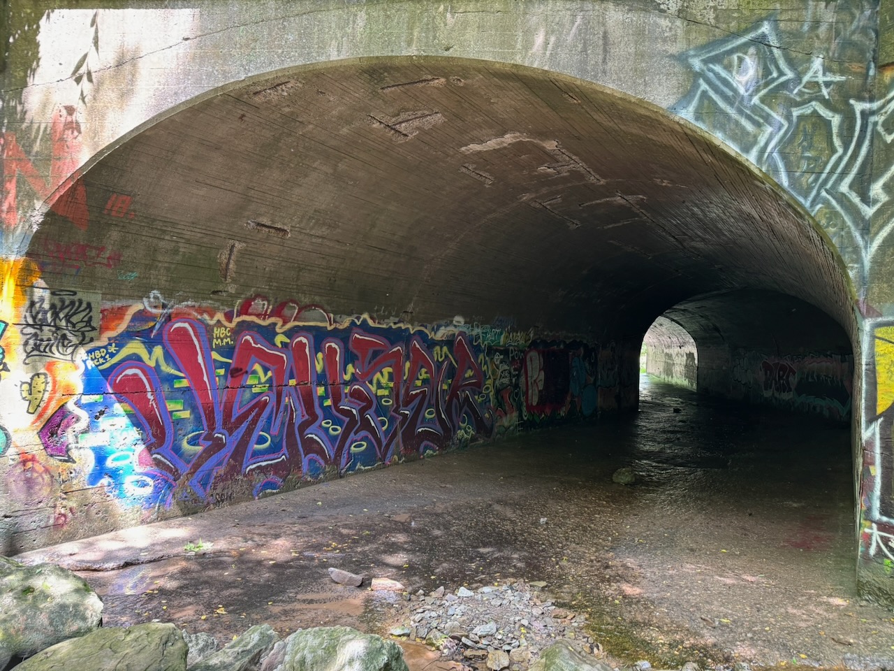
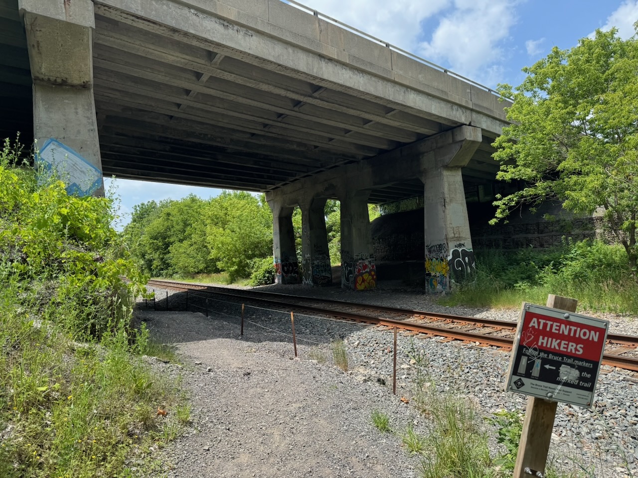
This was followed by some relatively unremarkable hiking along roads and roadside trails. I could see out to Hamilton harbour which was nice, but there’s not much to say about it. There was a set of stairs and a neat graffiti covered tunnel, followed by the ruined foundation of what was once probably an old barn.

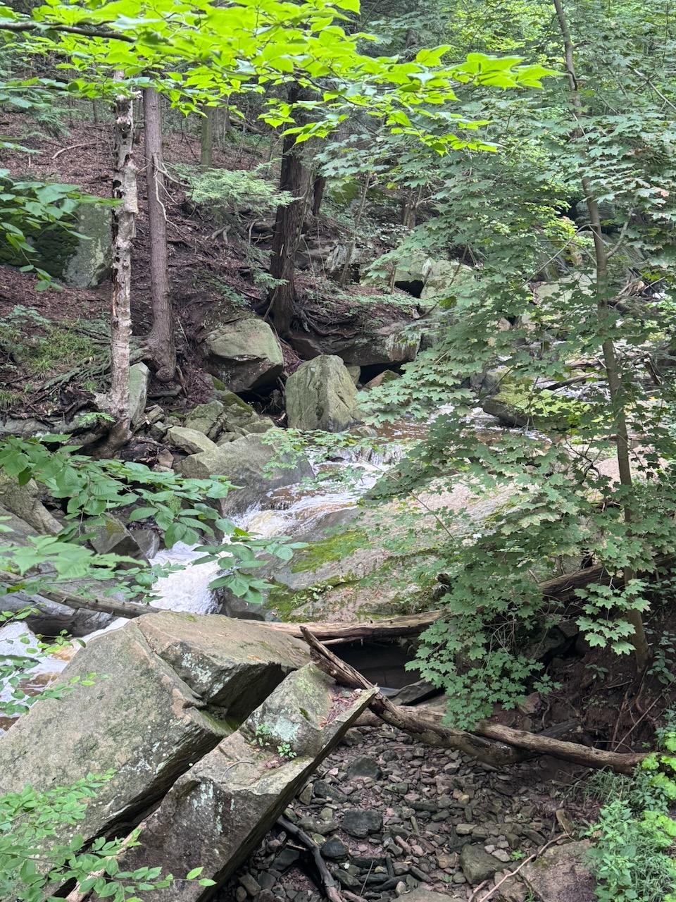
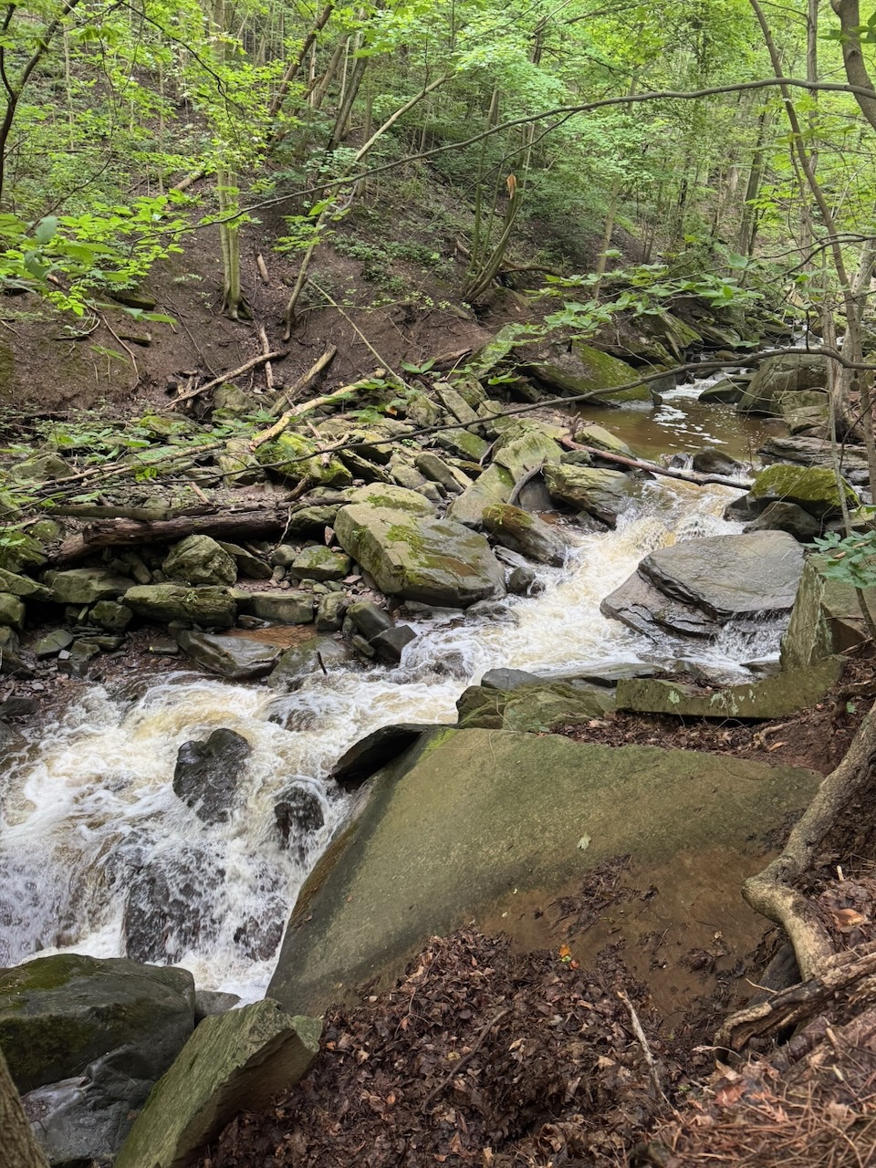
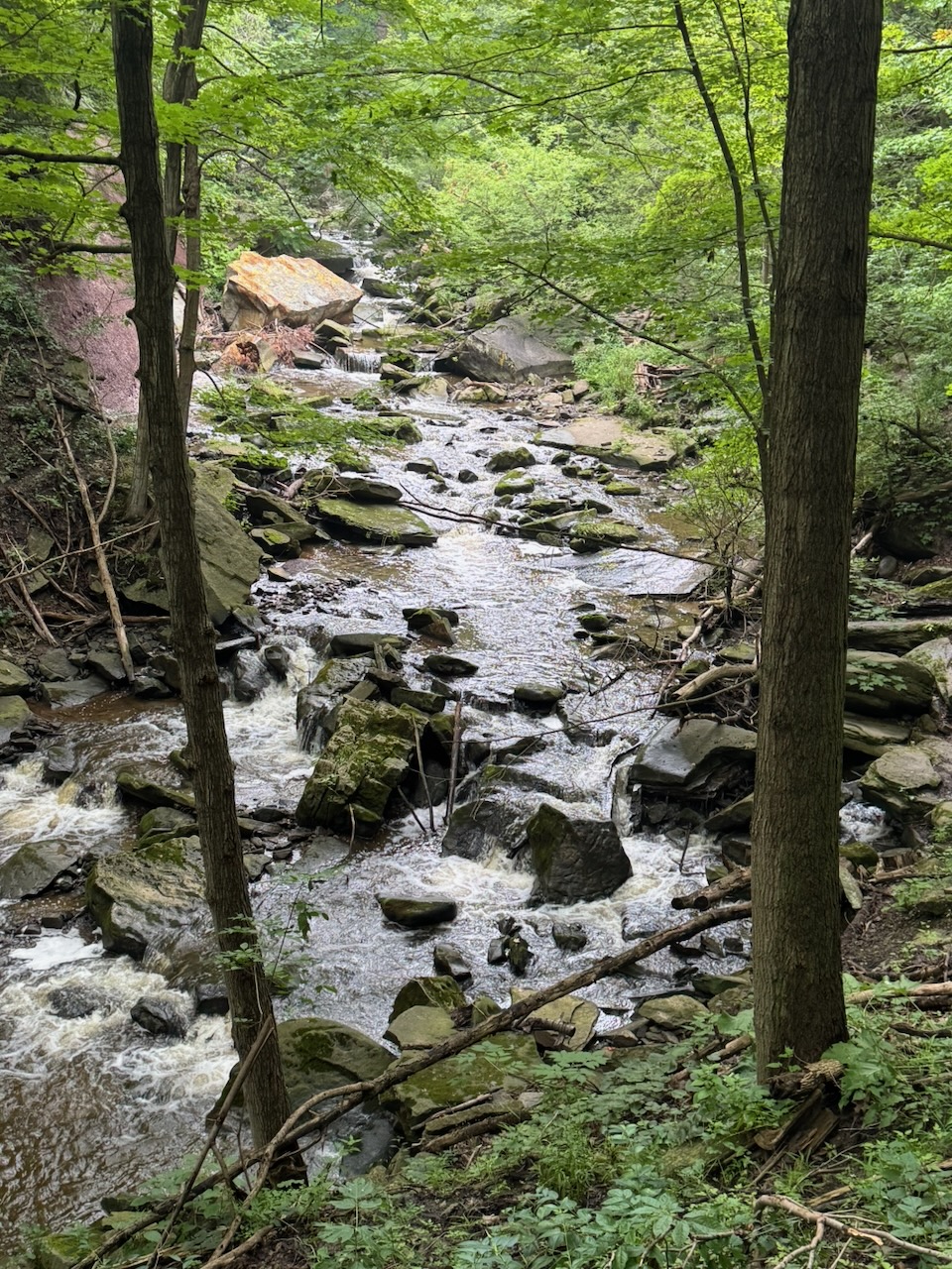
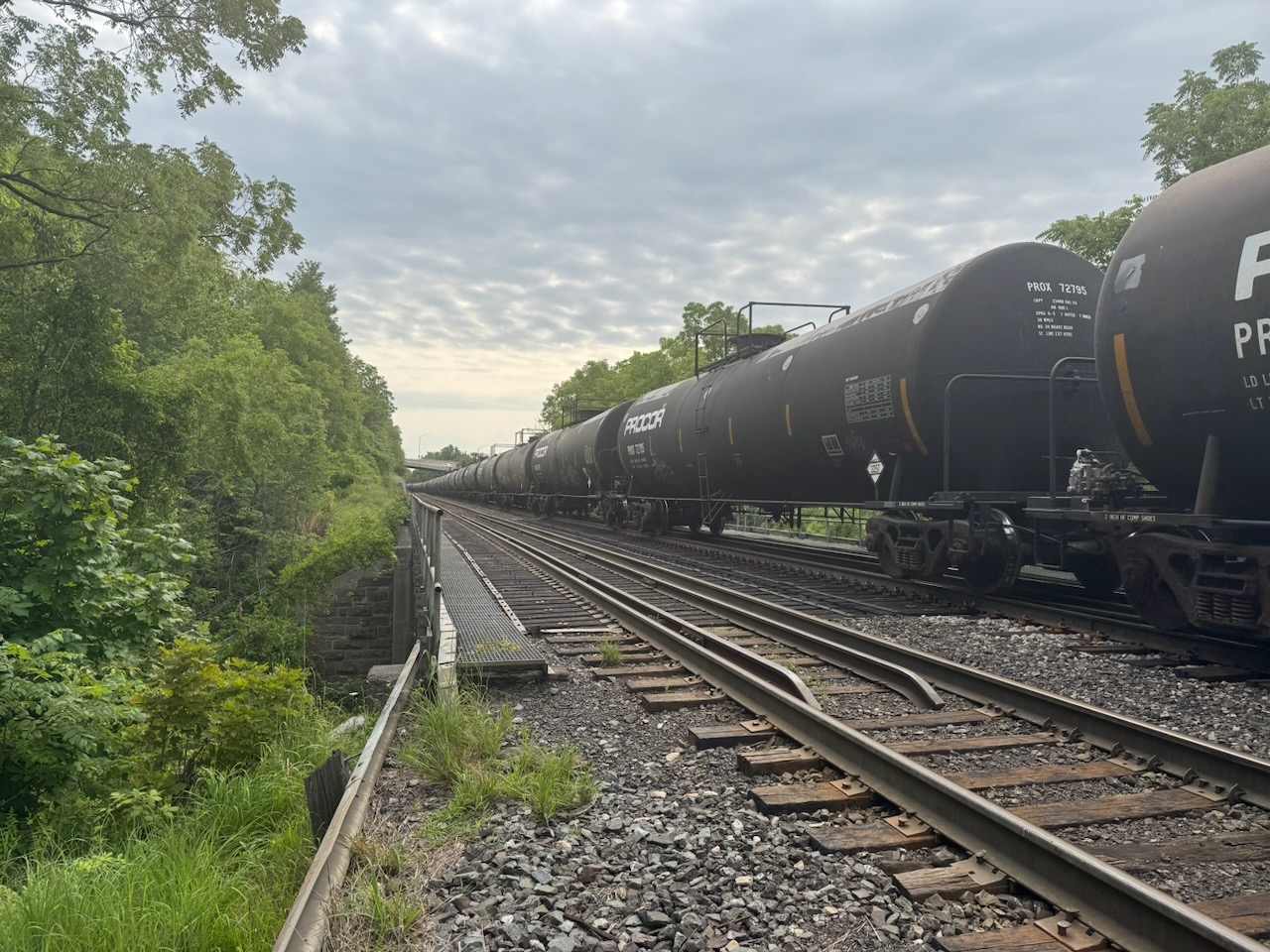
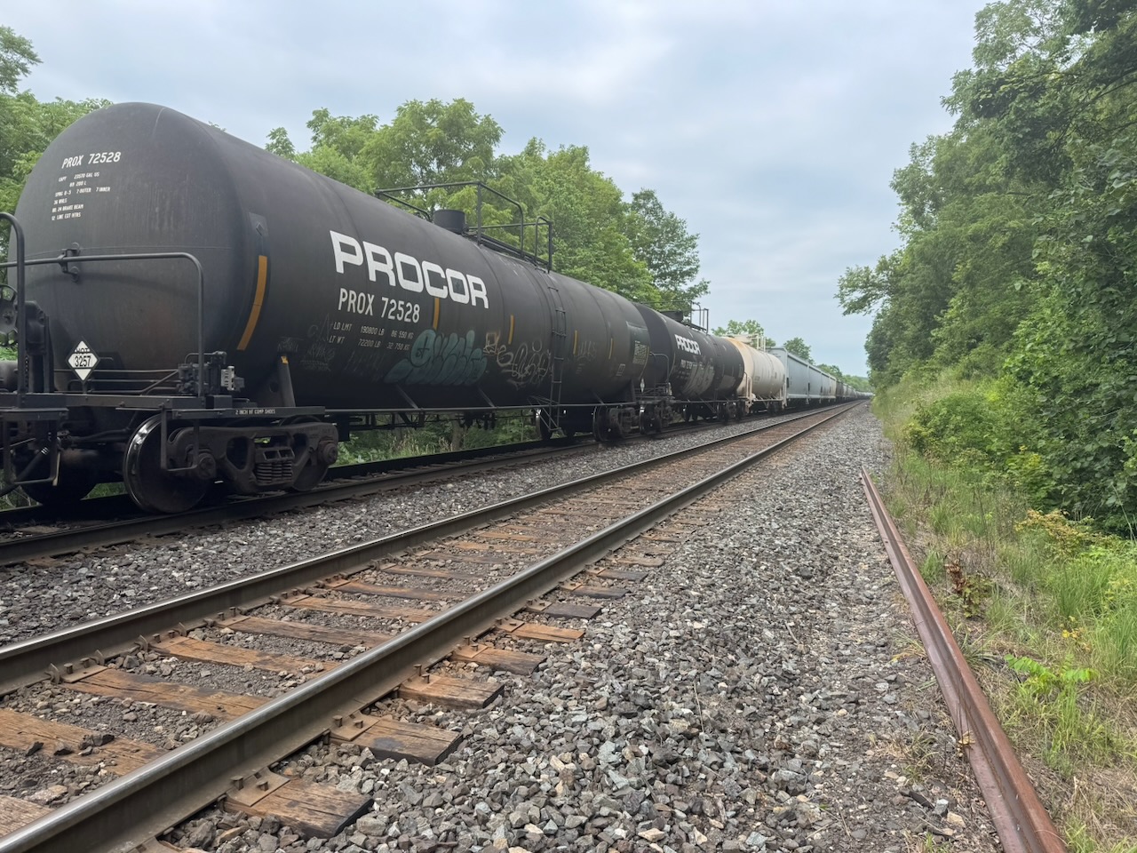
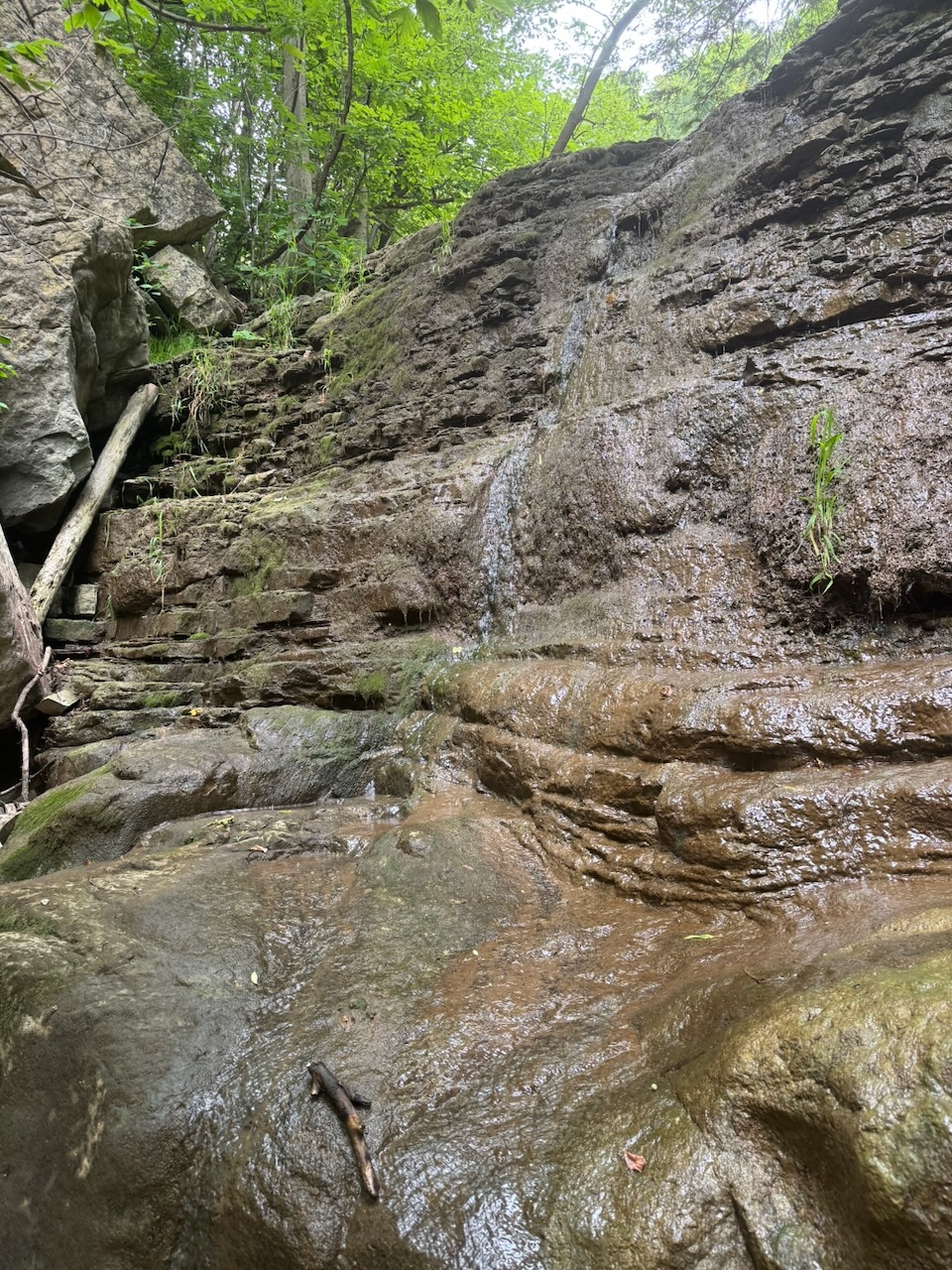
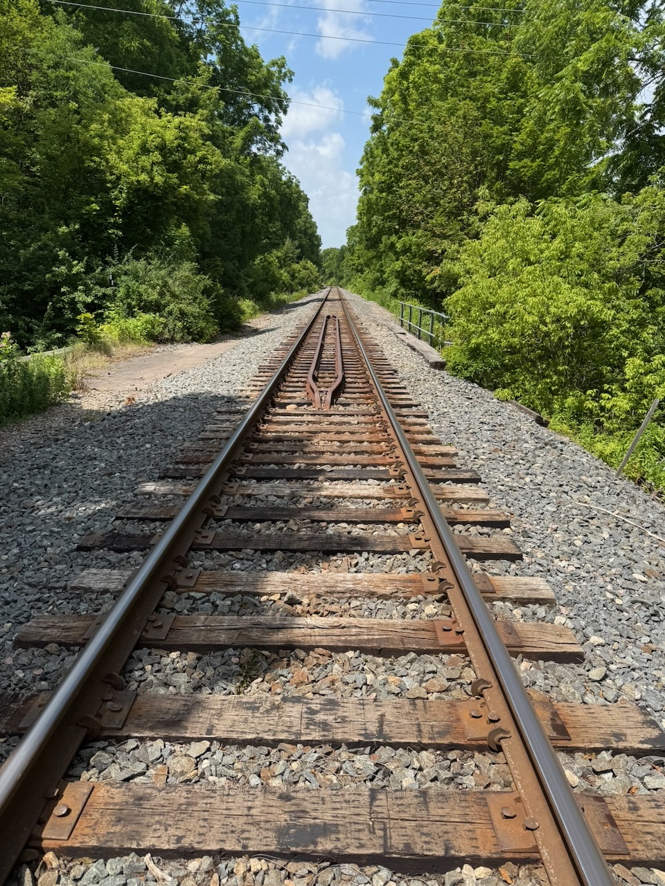
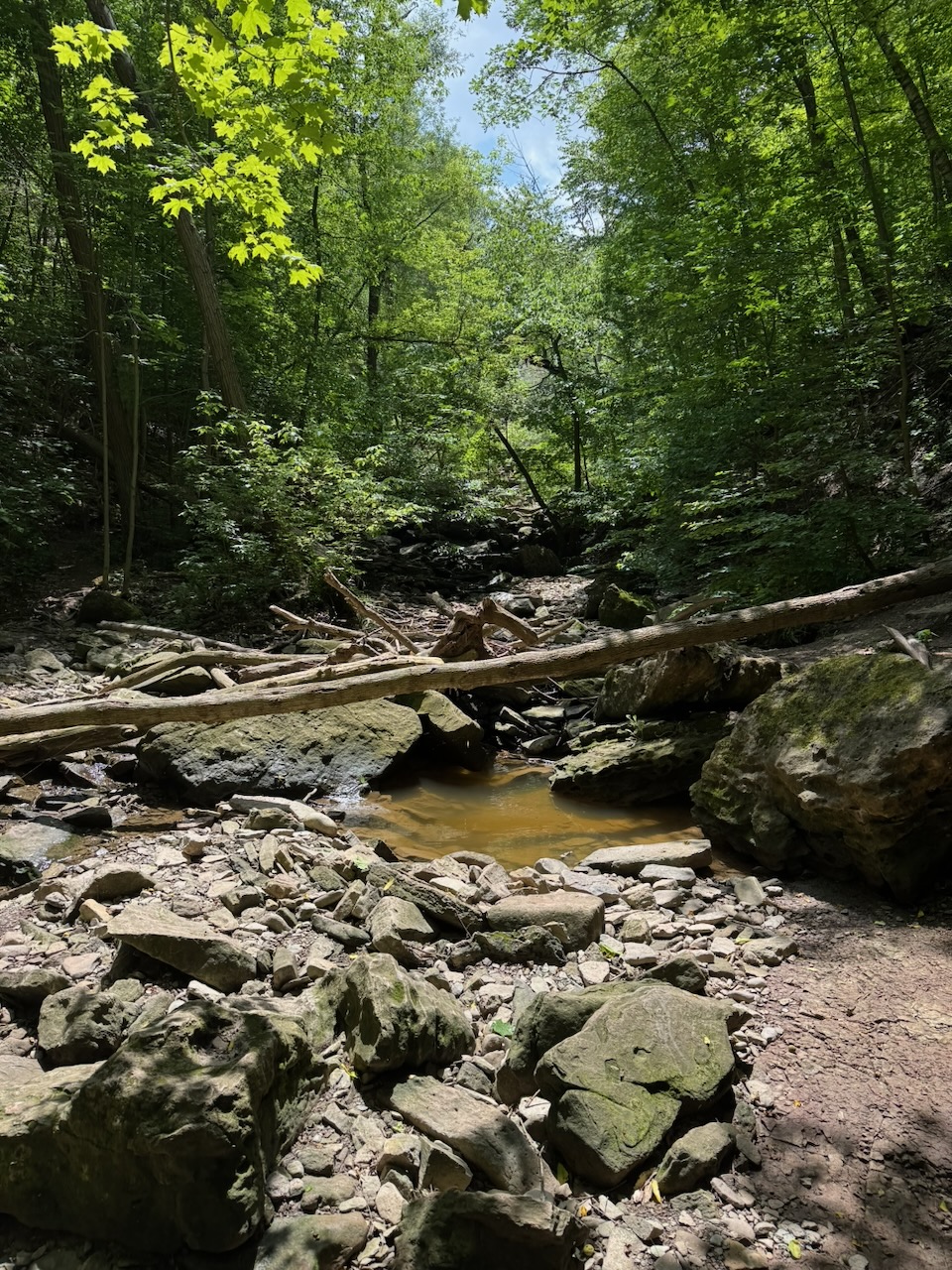
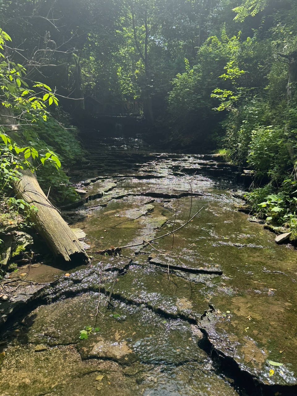
I crossed a few railroad tracks and arrived a rickety bridge over Grindstone Creek (more on the name later). This was the highlight of the whole hike and really the only part much worth talking about. The trail follows the east side of the creek for several kilometres, with elevation increasing the entire time. Since it has been rainy lately this means that you are treated to a multi-kilometre long “waterfall”. It seems that this is no secret, as I saw lots of other hikers on this part of the trail. The “long waterfall” terminates at Smokey Hollow. So called because it once contained so many mills and industry that it was always smokey. This is, I suspect, why Grindstone Creek is called Grindstone Creek, there were likely grist mills here at one point. Almost nothing of it now remains, I honestly can’t decide if that’s good or bad.

While hiking this section I noticed that the trail information signs also had Chinese text. Turns out it’s because from here the trail is also a “friendship trail” with the Taiwan Mountains to Sea Greenway trail. Very neat, but a trail in BC would probably have made more sense as it has actual mountains and seas, and probably more people from Taiwan.

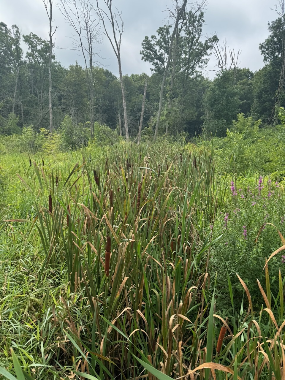
There were a few marshy sections after this and I was happy to see a few Bulrush and Milkweed plants, These used to grow near my cottage and we’d see Monarch butterflies in the evening when we’d walk past the marshes and fields. That’s all gone now of course.

Next I was unceremoniously dumped onto Burlington’s surface streets where I took in one of the better known landmarks on this section, the Shoppers Drug Mart, to get a cold drink. I try to finish 20k on each hike, but this was a real slog, it seemed to take forever to get to 20k, not helped at all by being on a sidewalk in Burlington on a hot day.

Semi-related: I’m wondering if Apple is fudging the numbers on the Fitness app. Such that it’s “optimistic” in the first few kilometres to encourage you to keep going, and eventually getting “pessimistic” to even it out. I doubt it, but that’s exactly the “encouraging fitness in your life” granola-munching crap they’d do.

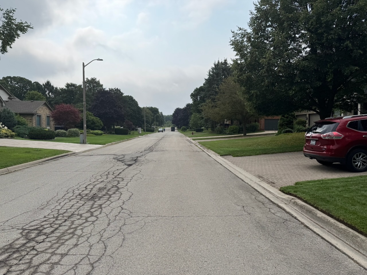
I now have a bit of an issue, there is no “official” parking lot where I stopped. It’s in a development that has no sidewalks, narrow streets and lawns going all the way to the road edge. This is because the last parking lot I passed would have made the hike too short, but the next one was still quite far away. I’ll have to try and risk parking somewhere in here and pissing off the locals, or parking somewhere else and taking an Uber to my start point. We’ll see.

Only 707.9km to go!
Hike the Bruce Trail Day Nine: The Grind

Hike the Bruce Trail Day Eight: Dundas Valley

This was the first hike for which I didn’t have to cross the James N Allen Skyway to get to my starting point. That more or less means I’m off the Niagara Peninsula. The trail circles the Dundas Valley and cuts through the town of Dundas itself. The route isn’t direct — the valley holds Hamilton Harbour, and the trail builders clearly decided no sober pedestrian should have to walk the Skyway.

Start: Tiffany Falls Conservation Area

End: Royal Botanical Gardens Rock Chapel Sanctuary

Distance: 21km

Weather: 25C and cloudy

The Route

I was a bit worried that this one was going to be boring. But no! There was lots of stuff to see and to relate. I’m hoping that’s the case going forward. The reason I say this is because, looking at the map, the trail kind of goes through nothing particularly interesting until you get to Collingwood. Luckily I still have lots to talk about.

Despite the fact that I started at Tiffany Falls, I didn’t actually visit the falls. I’ve been there before, and was anxious to get started. The parking lot was empty, but there was a pay station. I had to pay $11.50 but it wasn’t clear why. There were signs around that said no barbecues or parties, one hour limit. One hour limit on what? Parking? Anyway, I paid the damn money and hoped that my car would still be there when I got back a few hours later.

Shortly after Tiffany falls I hit Canterbury falls, which is down a very short side trail. After looking at it I realized I’d been there with my children. Not that long ago, but also so long ago. Time to move on.

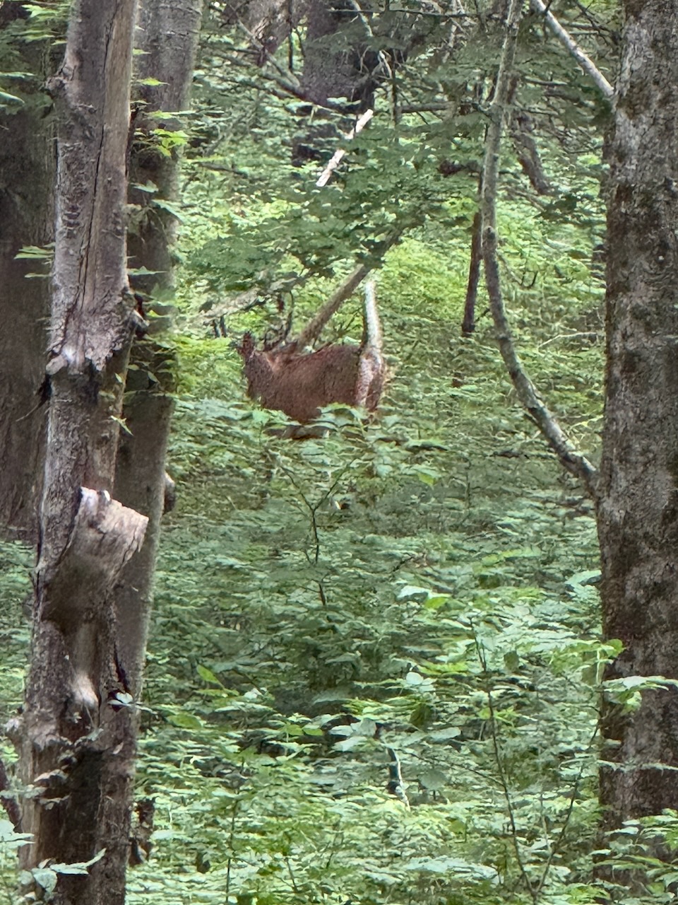
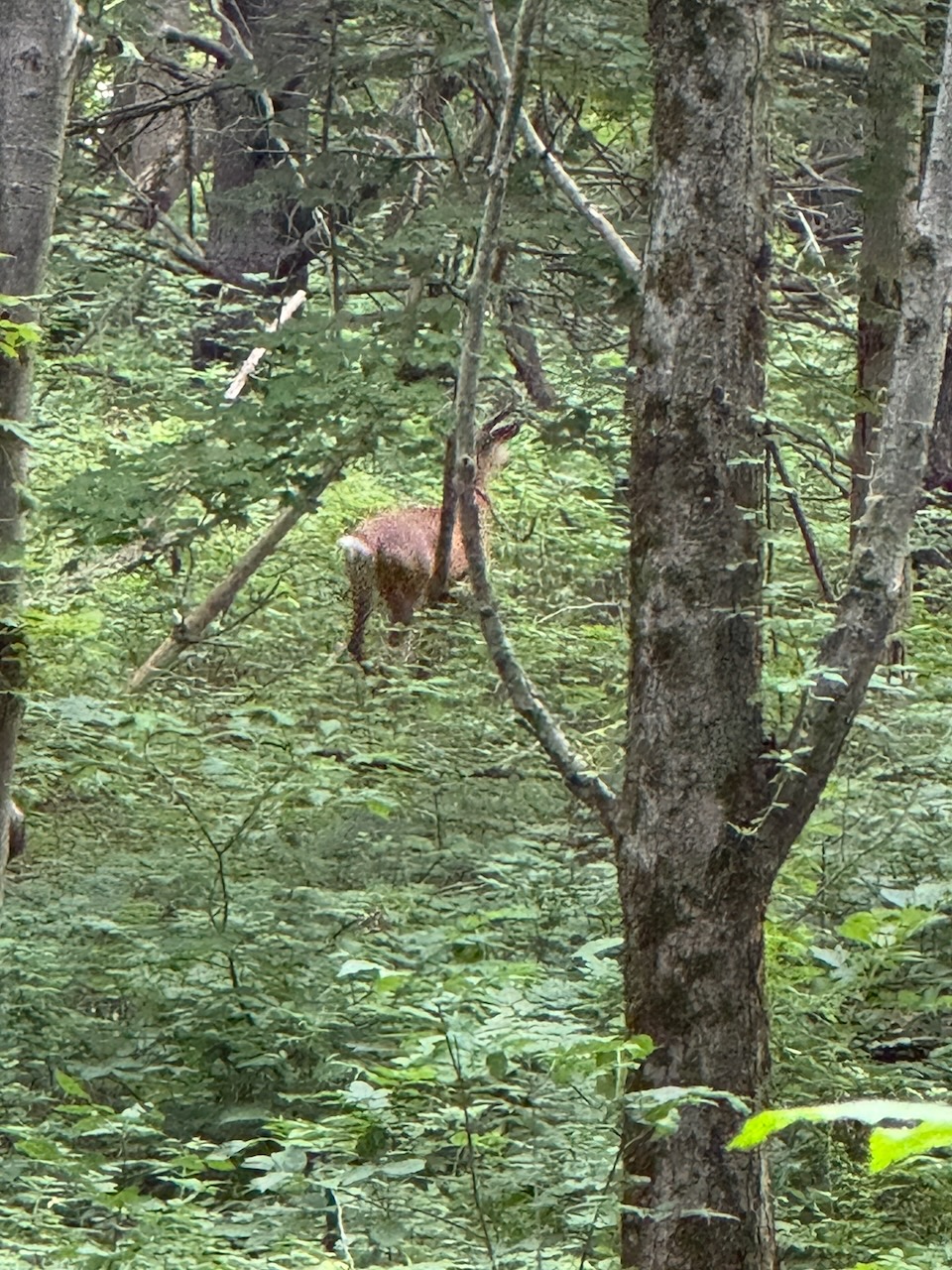
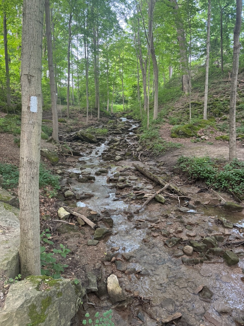
Usually I listen to podcasts while walking. But this time I decided I would wait on that. Why? I’d noticed in the past that wild animals are most active in the early morning before the humans arrive. I wasn’t wrong. I heard a commotion in front of me and thought it was other hikers. I looked up to see a fully grown male white tail deer standing on the trail. It moved away before I could get a good photo. But, I did manage to get a few snaps of it in the distance. They are way bigger than you think. Just like the coyote.

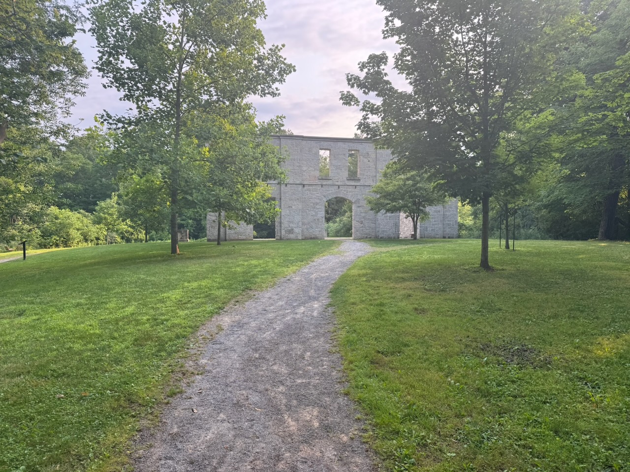
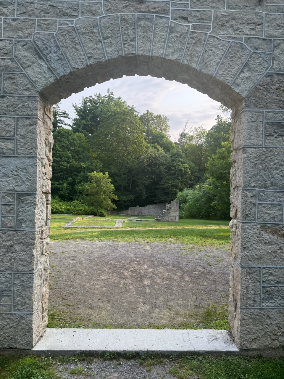
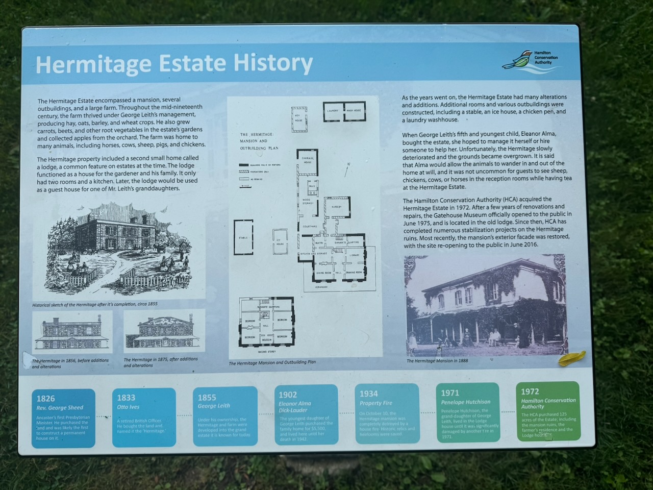
After this I found myself in the ruins of an old house. It’s called The Hermitage. It was a country home for a wealthy family a long time ago. I sat there for a while. It’s really neat that the city sort of “reconstructed” the facade of the house. I bet it’s really spooky in the fall at night.

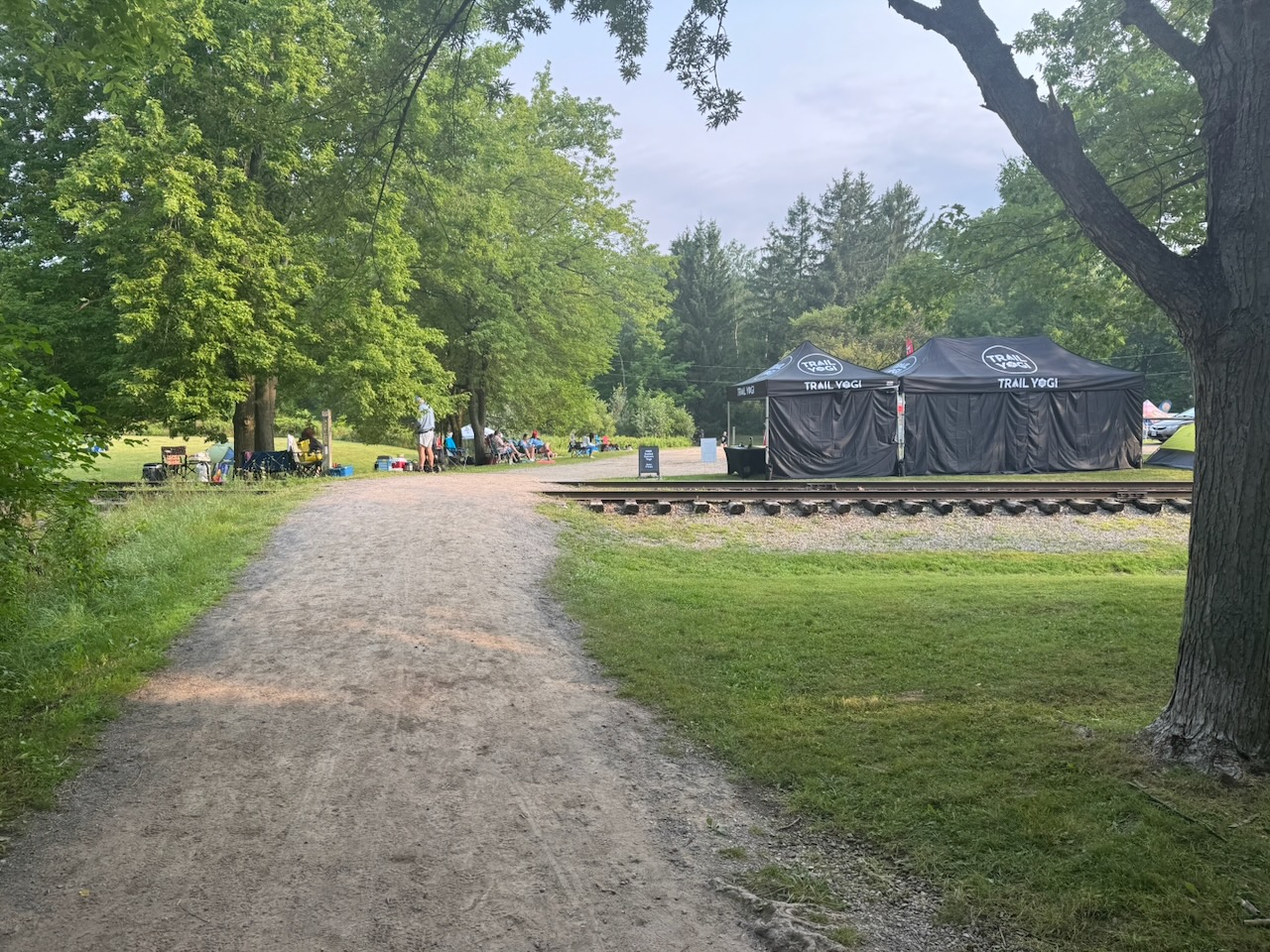
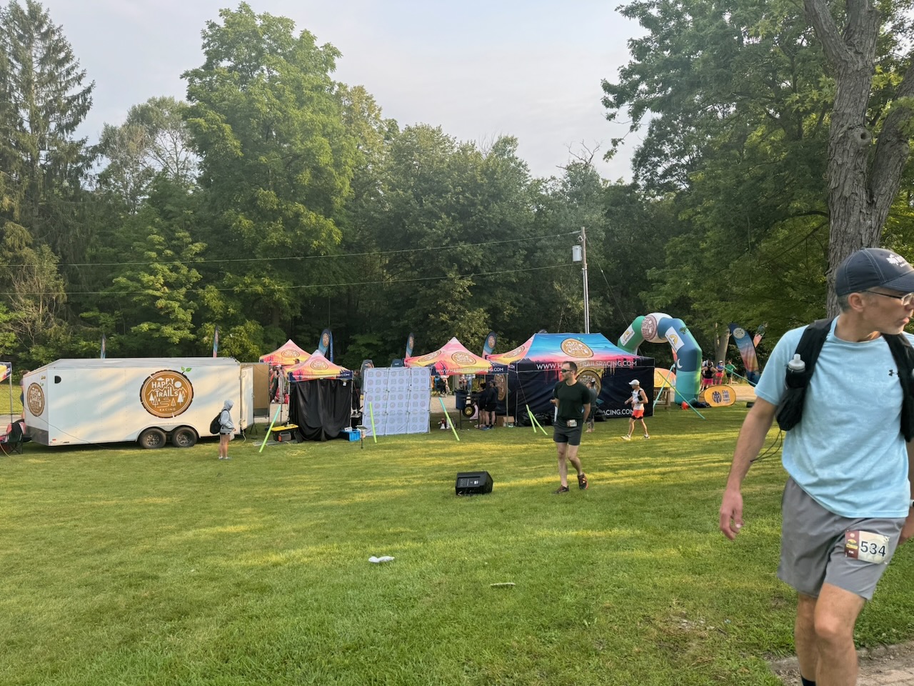
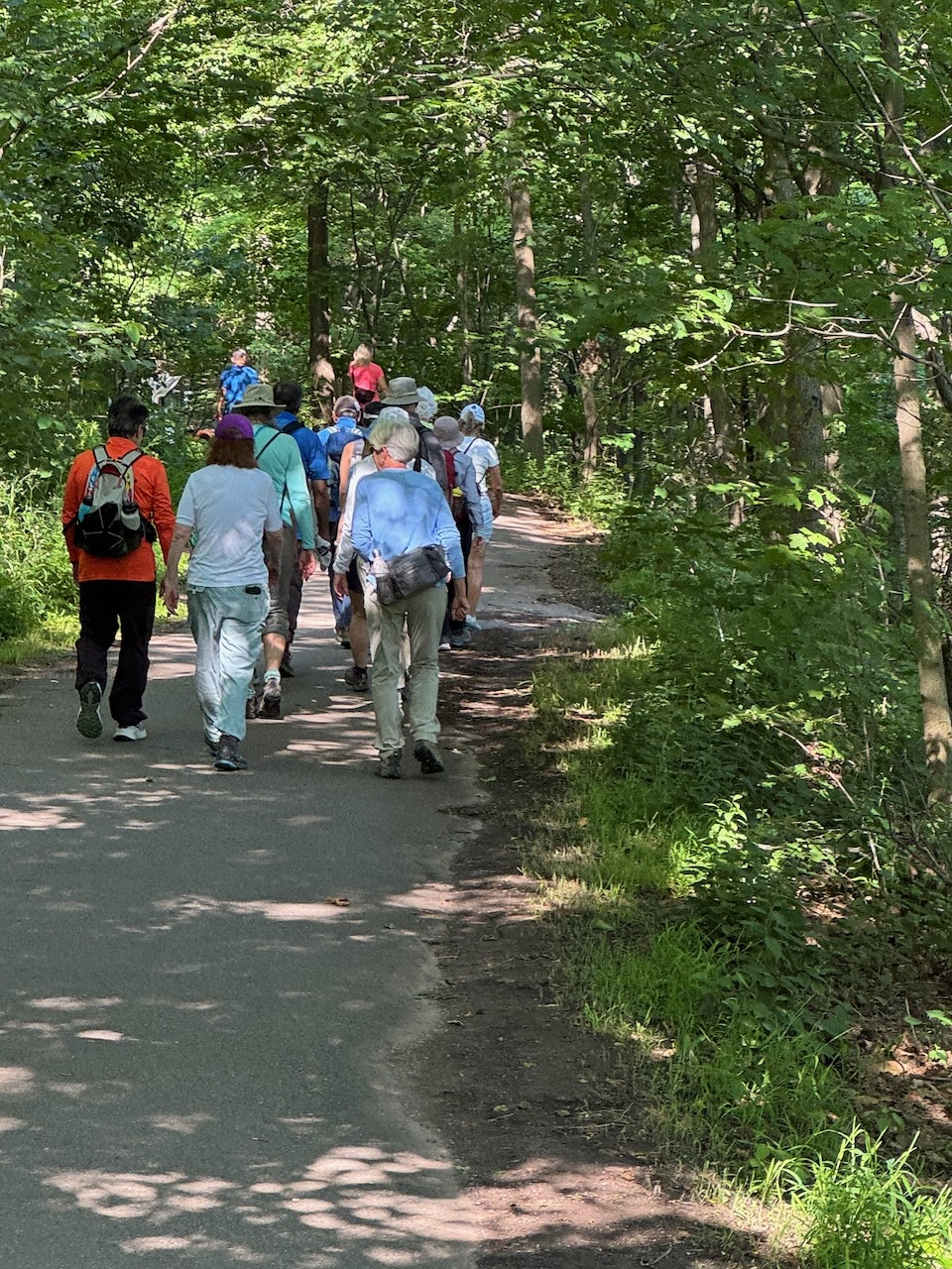
Unlike almost all the previous hikes, it was at this point I noted a lot of people on the trail. An awful lot. And they had water bottles strapped to their waist. Et cetera. I had stumbled upon some kind of hiking event. Happy Trails Racing as it turns out. This was at about 8:30AM, and a race was ending. There was an announcer saying that the winner had covered 160km in 24 hours. After looking it up they do a 7km loop. You can sign up to do it one, two, or three times, or as many times as possible in 6, 12, 24, or 48 hours. Pretty wild, my joints are killing me after 25km of walking on these trails, I can’t imagine what running over 100km would feel like. I wonder how many of these people are over 40.

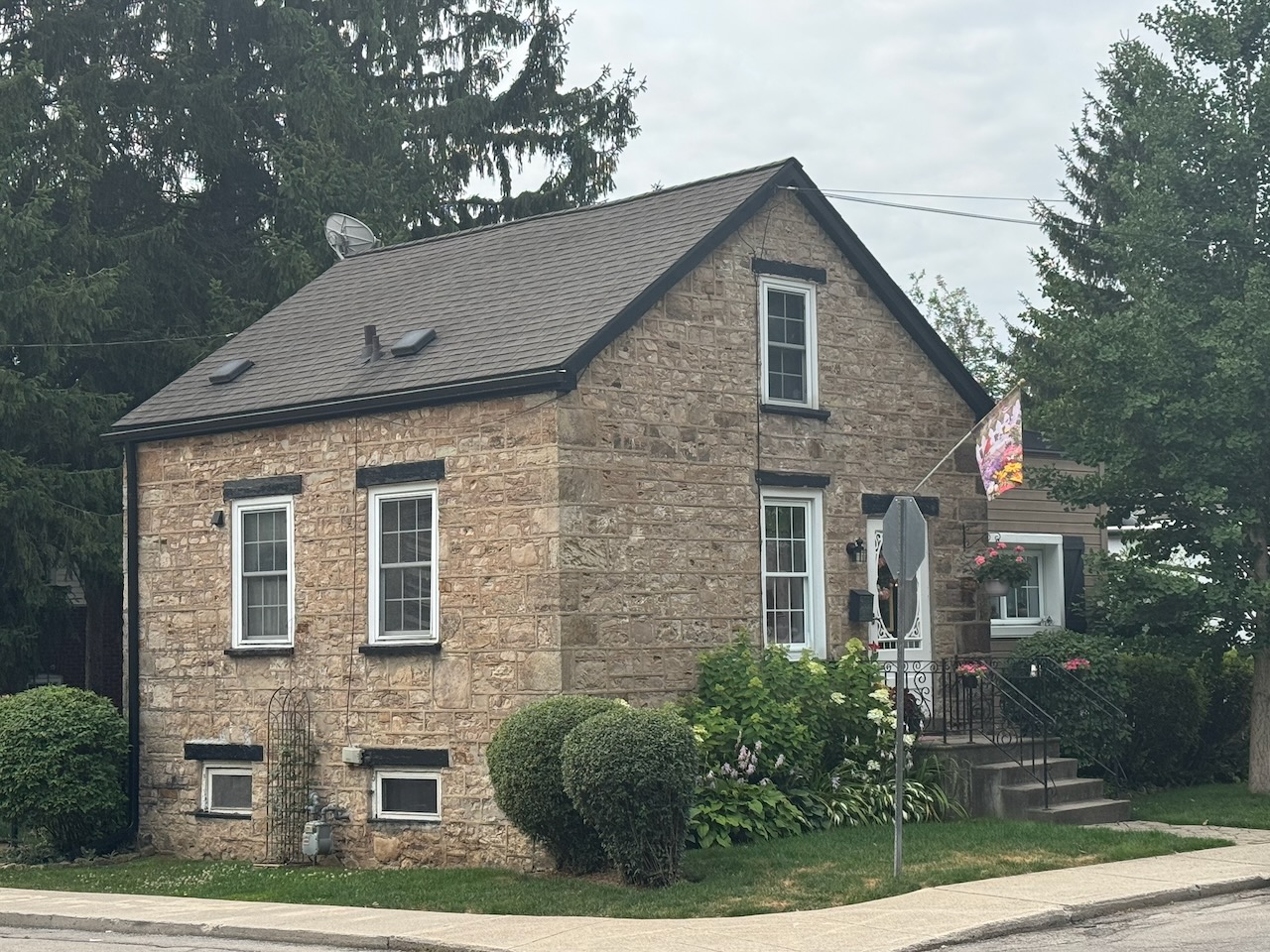
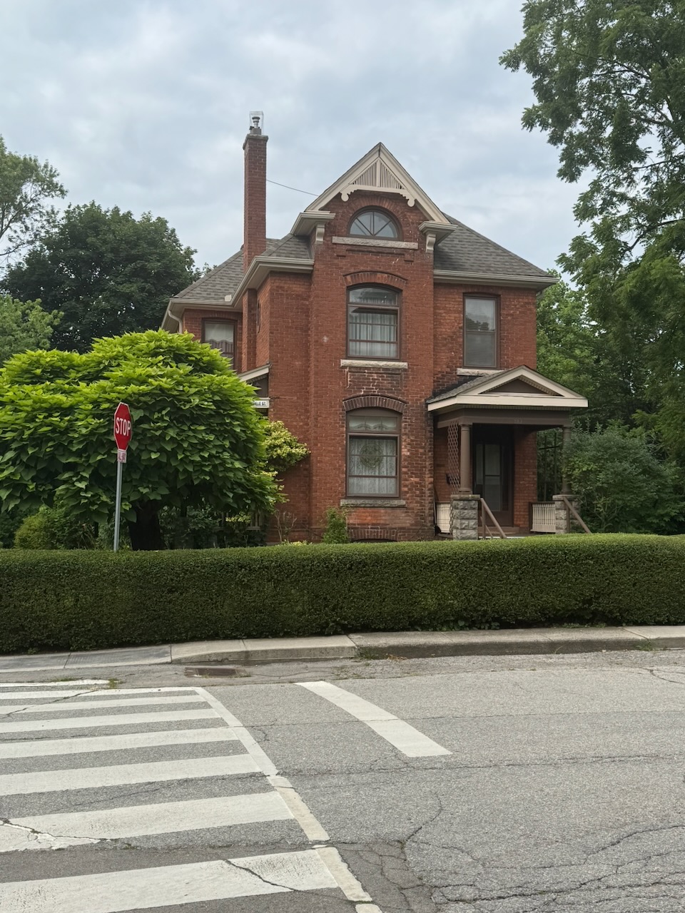
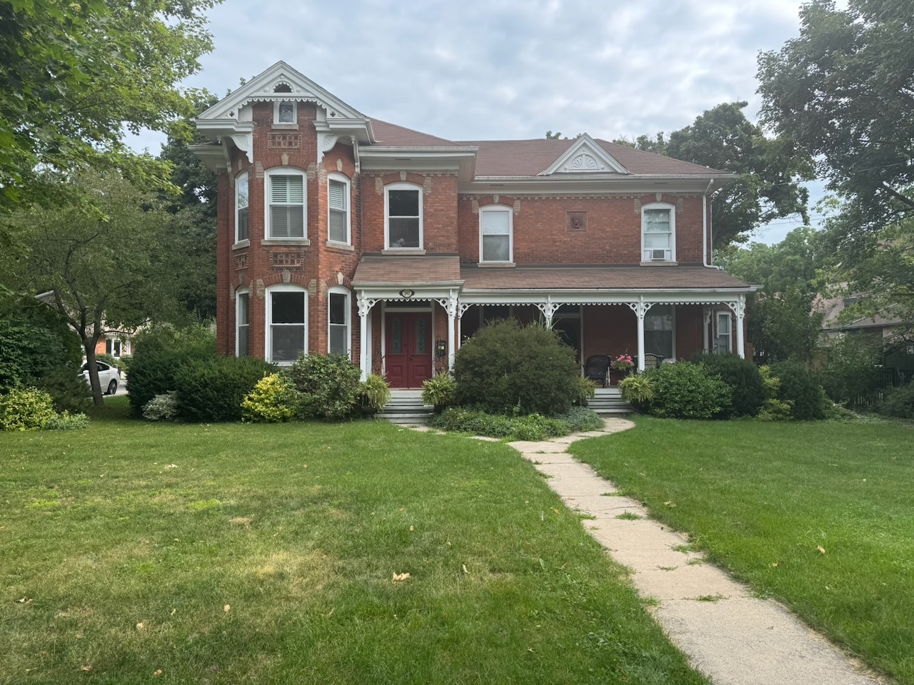
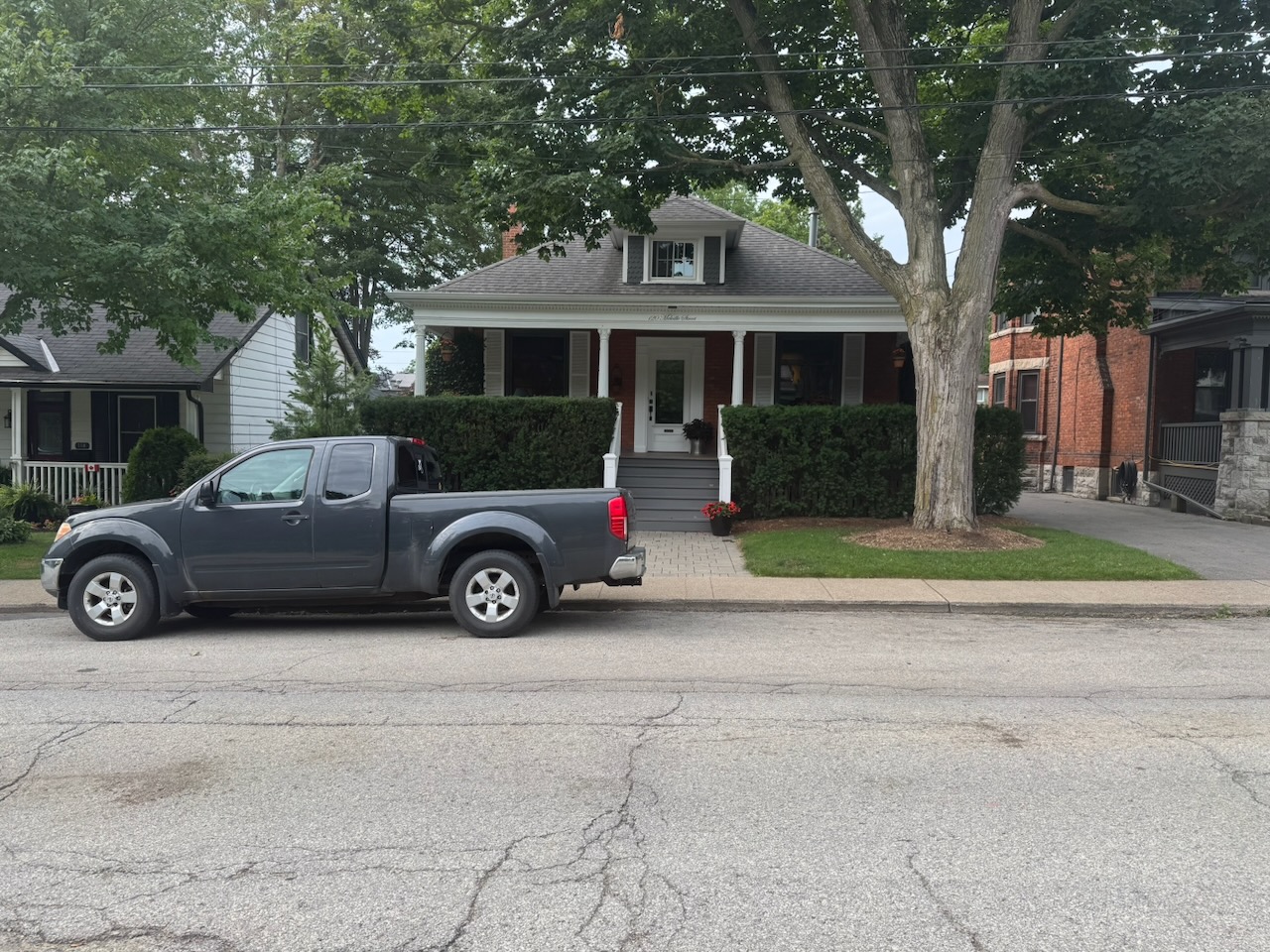
Following some more forest-y and meadow-y sections of trail I found myself walking through Dundas, Ontario. My gosh what a lovely little town. Full of historic houses and churches, with a busy Main Street and two breweries. Neighbours were out talking, people were going to church, and children were playing in the parks. What a lovely little life a family could have here.

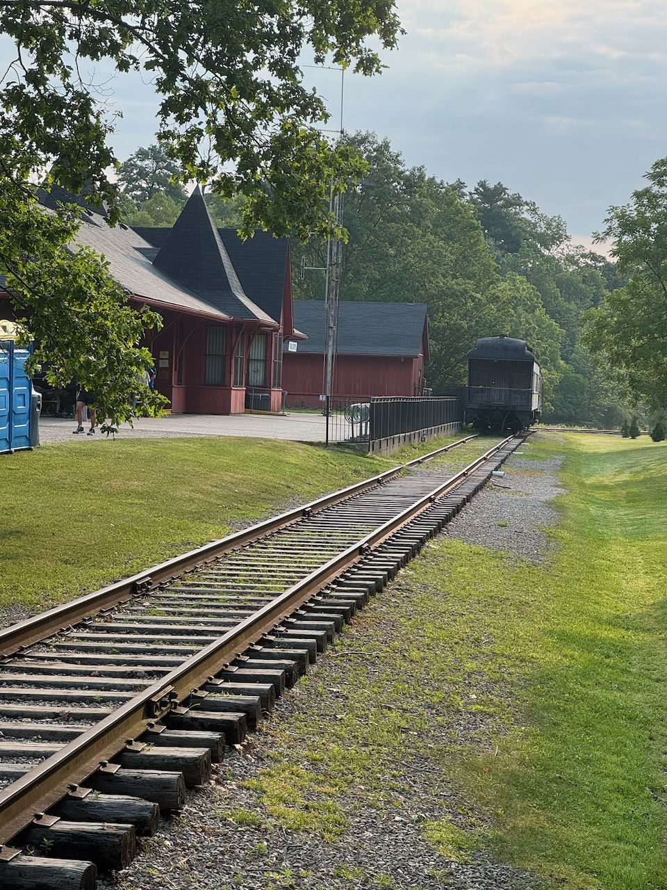
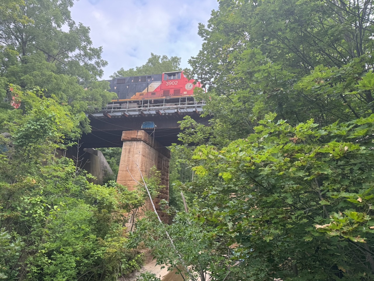
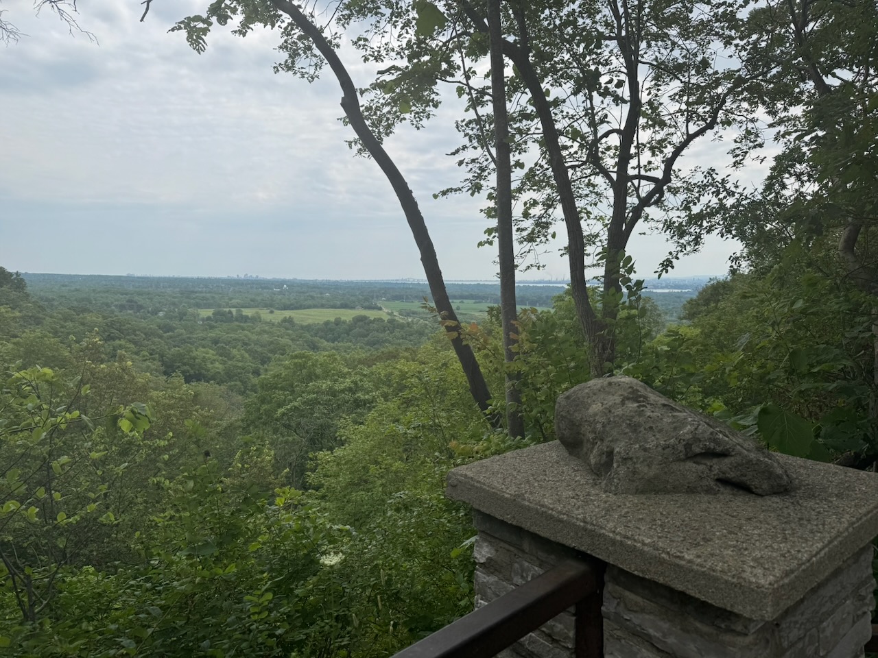
While hiking through Dundas I noticed the large cliffs looming in the distance. Just after going through the town I noticed a side trail that seemed to go back up to the top of the escarpment. I decided to have a look, even though taking side trails slows my progress a bit. I wasn’t disappointed, I was treated to a large CN freight train transiting a bridge I hiked under, and on that theme noticed that the trail itself was a former rail line, with the ties and spikes still in the ground. The lookout was stunning, with views over the entire town and out to Hamilton harbour and Lake Ontario.

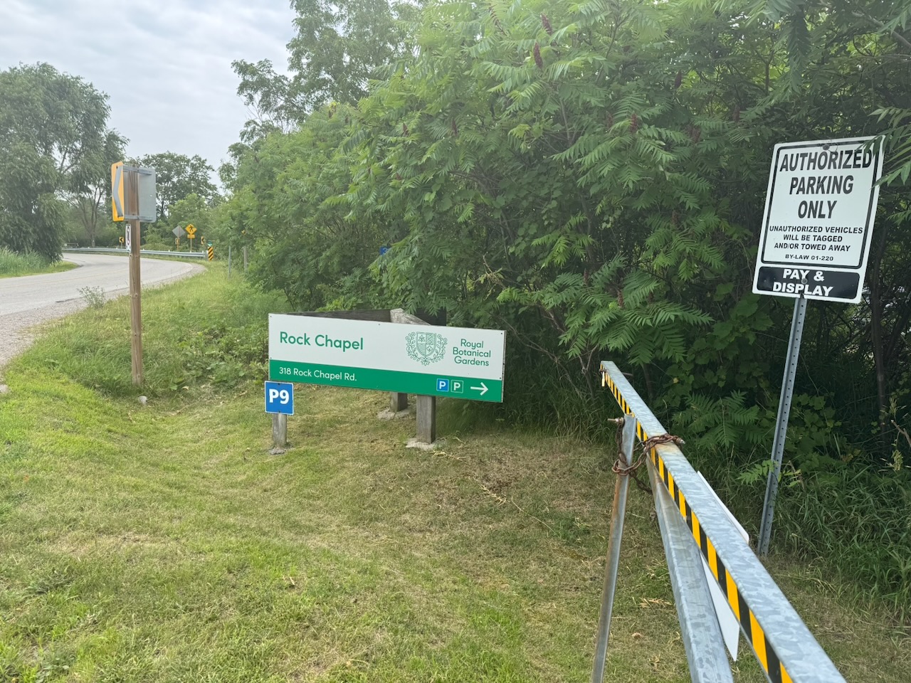
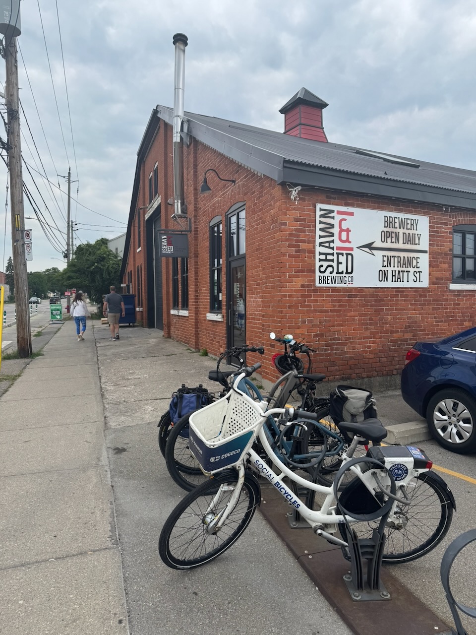
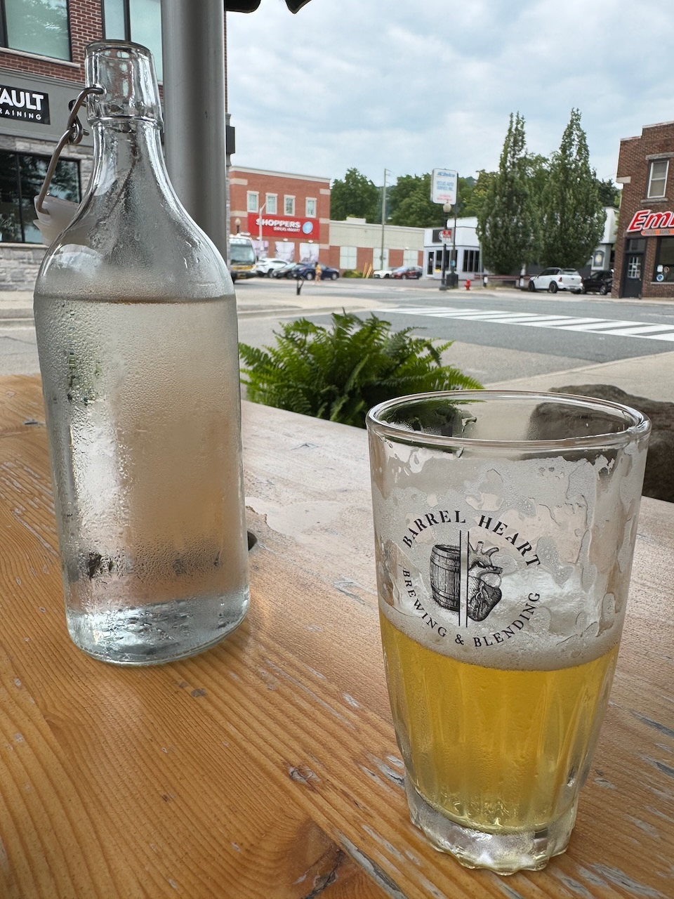
The rest of the trail went through lands managed by the Royal Botanical Gardens and I stopped at “Rock Chapel”. My customary Uber ride went fine, my car was still in the parking lot, and I decided to drive back into Dundas for lunch. I first tried the Shawn & Ed Brewing Co. but was told the main dining room was closed for an event. Instead I visited their “patio” which was a few tables in a very narrow alley between buildings. There were many people there and all were looking at menus. This is a reliable sign that the service will take a while, so I bailed. Instead I walked down the road to Barrel Heart Brewing & Blending. They are a very posh “farm to table” type place. The food and beer were very good, but very expensive and you don’t get much of it. I used to love this hipster/pretentious “slow food” type stuff. But, it really only works when you have someone to share it with. On my own I just want a goddamn pint and sandwich that’s not outrageously priced.

Only 728km to go!

Hike the Bruce Trail Day Eight: Dundas Valley

What’s at the Bottom of Cook’s Bay: Part Two, the East Holland River

This article originally appeared in slightly edited form in my cottage newsletter the “Big Cedar News”. A small weekly for residents of Big Cedar Point on Lake Simcoe.

Inspired by the positive feedback of literally dozen of people I decided to keep this going and continue exploring. My name may not yet be counted amongst the likes of Amundsen, Scott, Franklin, or Shackleton… but at least I haven’t frozen to death. So I’ve got that going for me, which is nice.

Anyway, as presaged in the last article, what’s at the bottom of the Holland River? Quite a lot it turns out. Even I was surprised by how far you can go. It may not be as scenic as the Danube or the Rhine, but it has the big advantage of being much closer to me than either of those rivers. That’s the only advantage, everything else is worse.

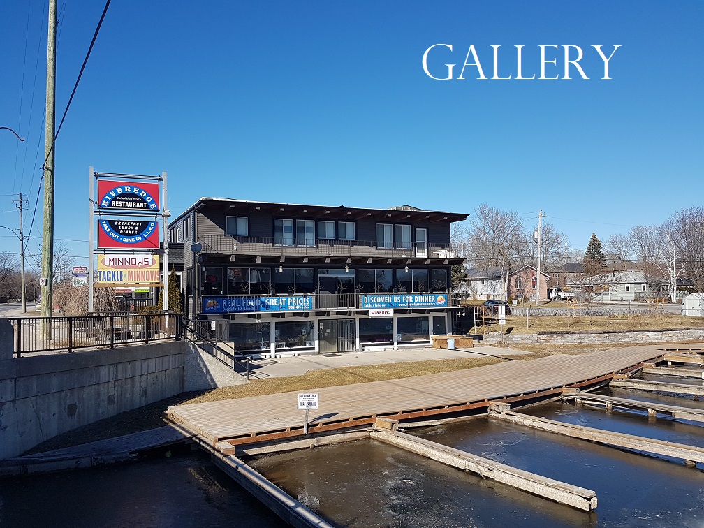
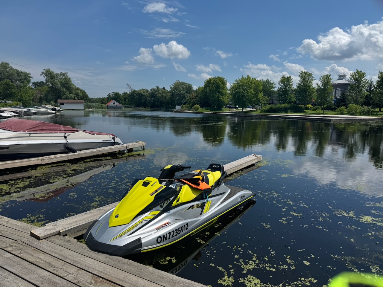
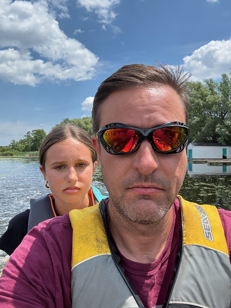
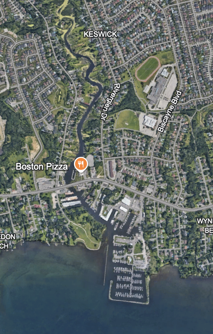
But wait! Before we enter the Holland River it’s time to catch up on one thing we left out of the last article. The Maskinonge River, or “that river that Krates Marina is on”. My daughter and I decided to go out for lunch by boat recently, and I wanted to go somewhere I’d never gone before. Looking at the map I found that the “Riveredge Restaurant” is on that river. It looked dodgy from the outside but was actually fine inside, the food was edible, and the beer was cold. If you’re looking for more than that Keswick is not where you want to be. Anyway, everyone was very friendly. To continue up the river from Krates there is a low bridge that you need to go under. A Waverunner/Sea-Doo will go under no problem, but larger boats will have an issue. The image of the restaurant itself is from their website, the other is our exploration vessel. See also my companion for this lunch, she looks ecstatic, after all what 13-year-old girl wouldn’t love seeing the Maskinonge River?

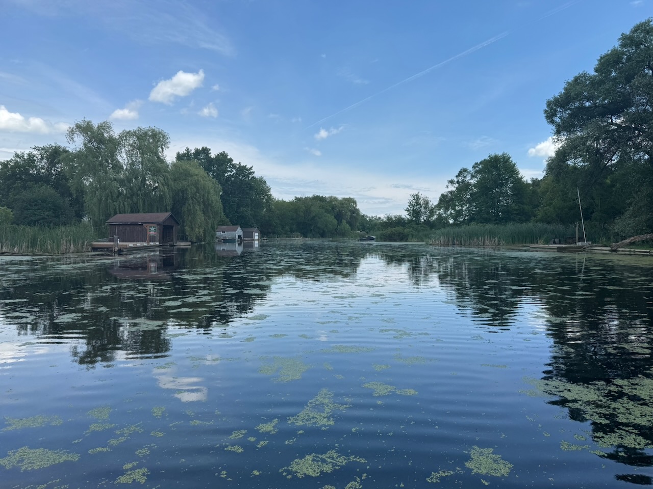
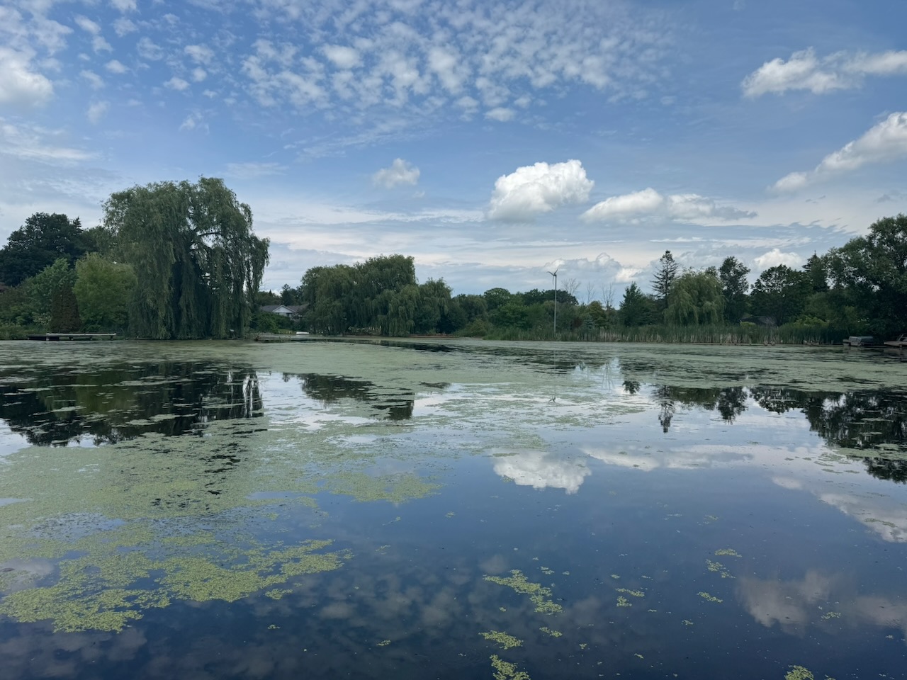
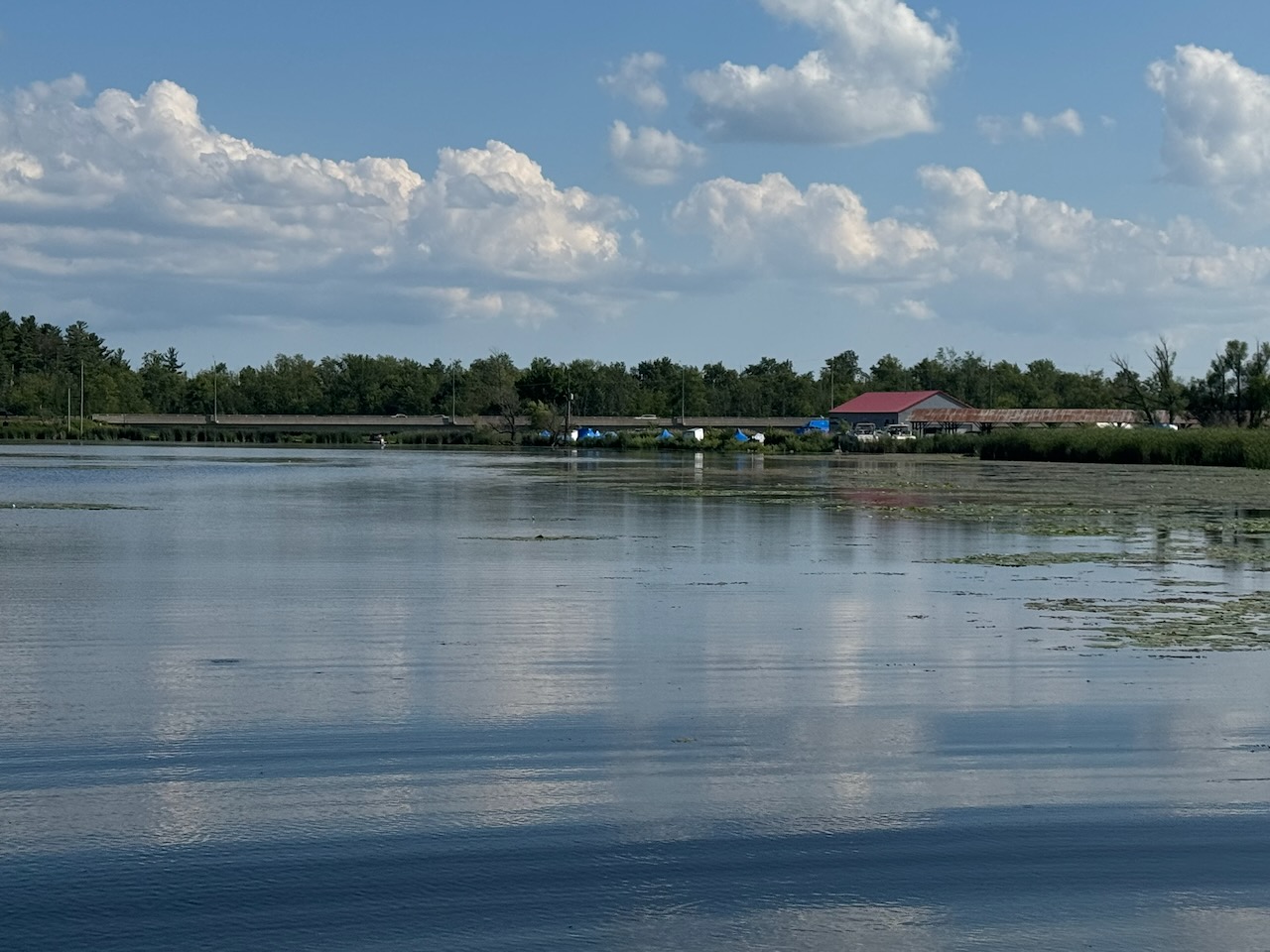
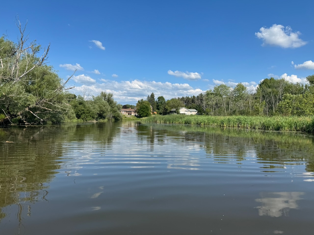
As mentioned in the last article, for such as small “river” you can go surprisingly far on it, though most of it looks like this.

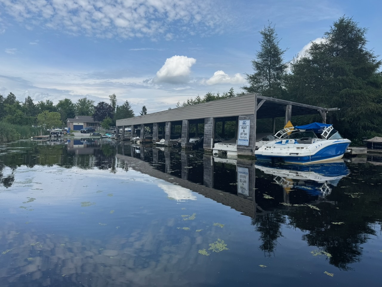
The little marina you see here is called AM Watersports and will rent you a jet-ski. In doing this I’ve been surprised by how many of these little operations are on the lake. Must be hard to make money renting for only a few months a year, and realistically only a few weekends of those months.

Unfortunately, while the jet-ski is great for exploring because of its shallow draft, it has one fatal problem. If you drive through a weedy area you can block the jet intake (it will suck up loose weeds). It’s unlikely to make the machine quit running, but anything other than idle speed will become impossible as the intake simply can’t pull enough water. This happened to us here, and I had to go slowly all the way back out to the lake and to one of the parks from part one. There I had to get in the water and under the ski to pull out the weeds. Keep this fact in mind.

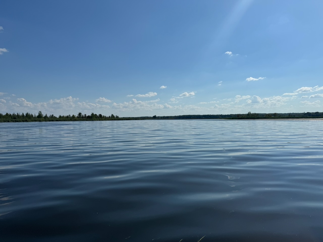
Back to the Holland River. Which is much closer to being an actual river.

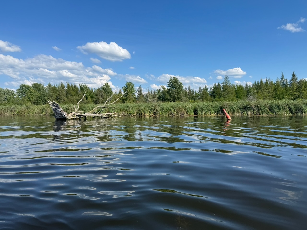
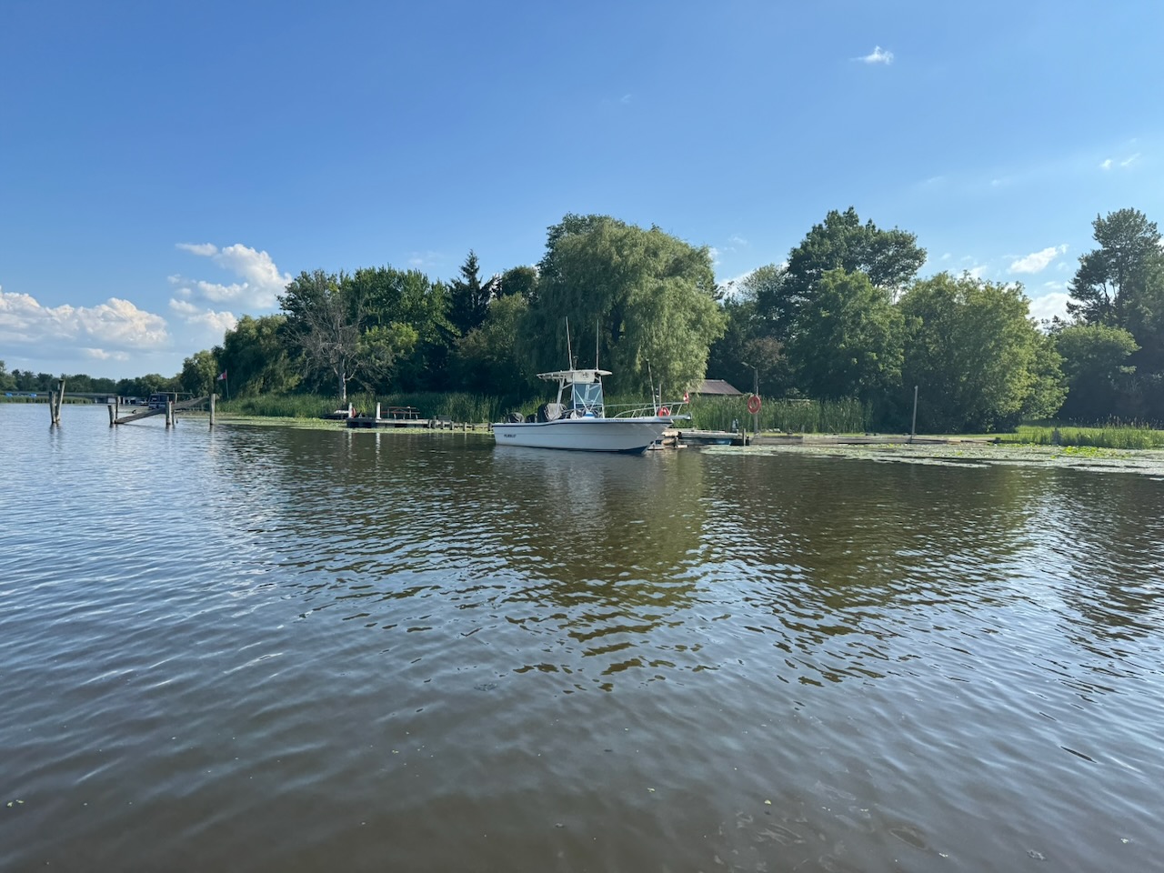
The entrance to the river is nondescript except for some channel markers. The first thing I noticed was that there were a great many channel markers stuffed up on the banks of the river. I guess they’ve moved and no one has come to move them back?

Here around the mouth of the river there were also a fair number of people fishing. I didn’t take pictures of them because I didn’t want to seem like a weirdo (more-so). They were right next to their cars, and it turns out there is a road that makes this possible. I’d love to come back by car and check this out. But this article is about the water not the roads, let’s move on.

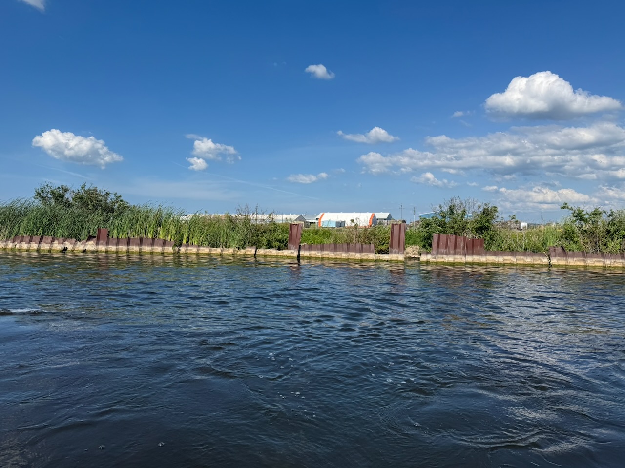
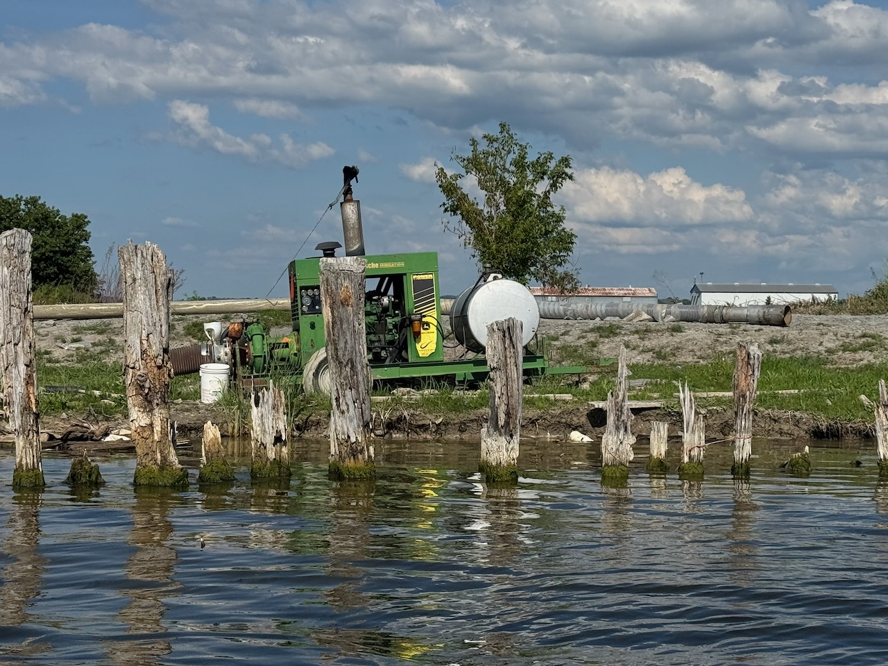
On this part of the river there are a lot of farms, some of them have “break walls” of a kind. You are also likely to see a lot of diesel powered pumps that are irrigating the fields.

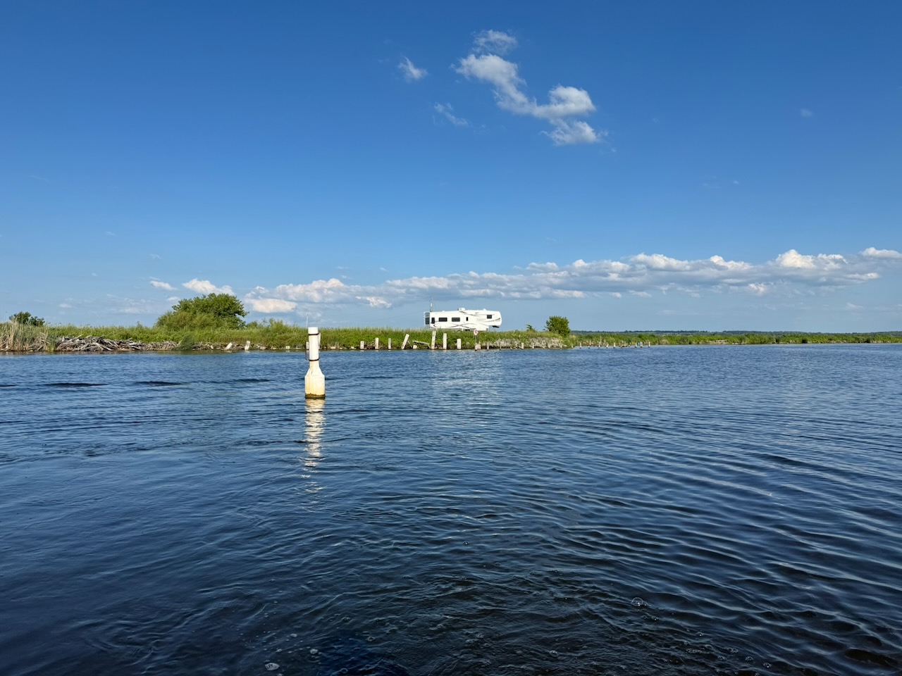
Shortly after this the river branches in two, there is a white channel marker and a white camper to indicate this. Today we are going up the east branch. The camper may have nothing to do with navigation, but it’s probably more visible than the marker.

The Holland River Marina is right after the branch, it seems in good shape and has a gas pump. Which is a lot more than you can say for what’s coming up.

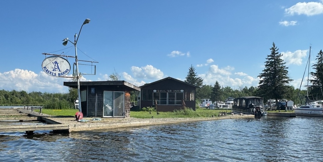
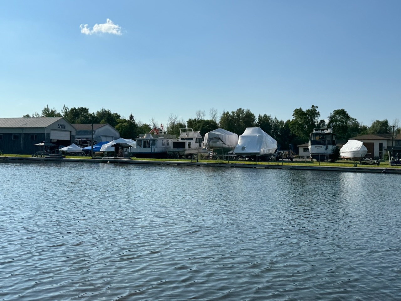
Speaking of, see Albert’s Marina. It looks like there was once a gas bar here, but it’s gone. It looks like there was also a restaurant of some kind the “SAIL ‘ER INN”. Thank God it’s closed or seems to be. I’d rather drink a swimming pool of Holland River water than eat whatever was once on offer here. I mean, not really, but you get the idea. Most of the surfaces around here are covered in goose poop.

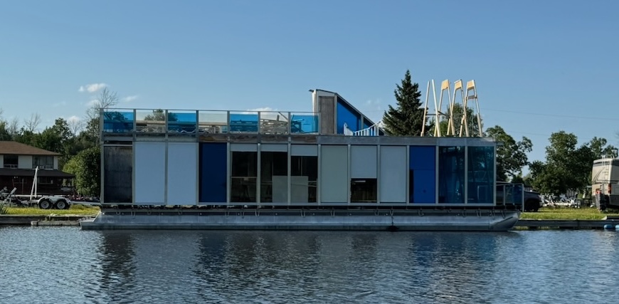
There is a surprisingly large cutout/pool here with almost nothing in it. Except for this bizarre “house boat” type thing? Huge, with four pontoons supporting it. No engine or interior of any kind, it looks like a redneck’s idea of a floating office. There are also a lot of campers and boats stored on land. I know I keep bringing this up, but who owns this stuff and why is it just sitting here? A few of these boats are worth something (not many, but some) and I just can’t get over who lets them sit and rot.

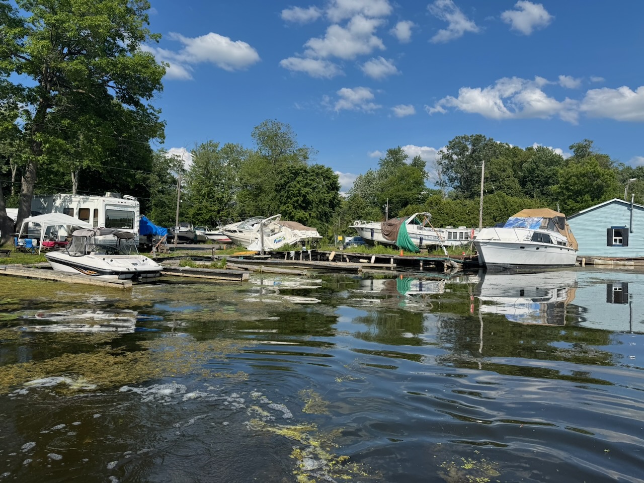
Speaking of, right after this is Sunset Harbour Marina. Which is mostly rotting wood. It’s a marina only in the most aspirational sense, like a heroin addict talking about how they’re going to get it together soon and catch their big break.

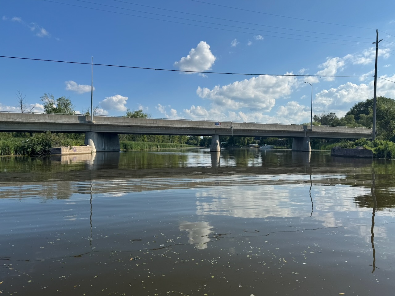
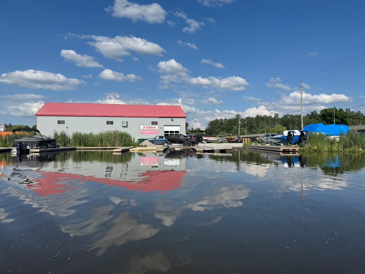
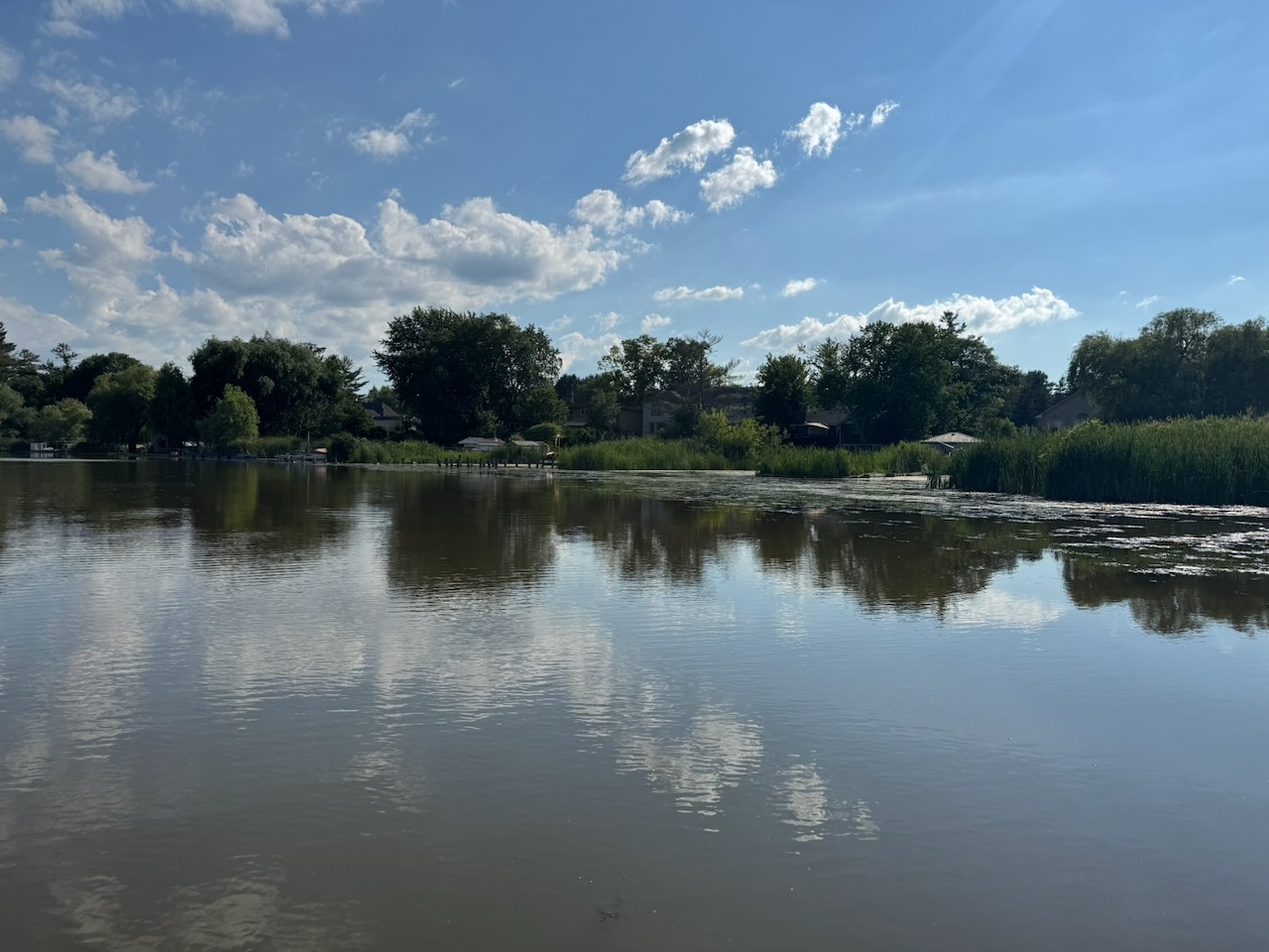
After this there are some homes and our final marina, Riversports Recreation. Which is right next to Queensville Sideroad. At this point I thought I should probably stop. I was worried about weeds in the water. If I got the intake blocked here it would take a long time to get all the way back out to the lake. Either that or I’d have to swim in the river to get the intake cleared. I have no idea what’s in this water. But from the looks of it there would be things that get into your orifices. Things that are alive.

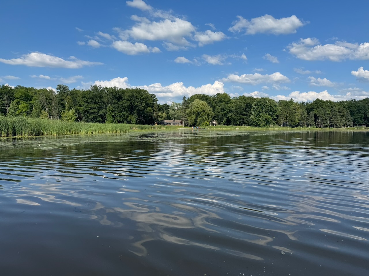
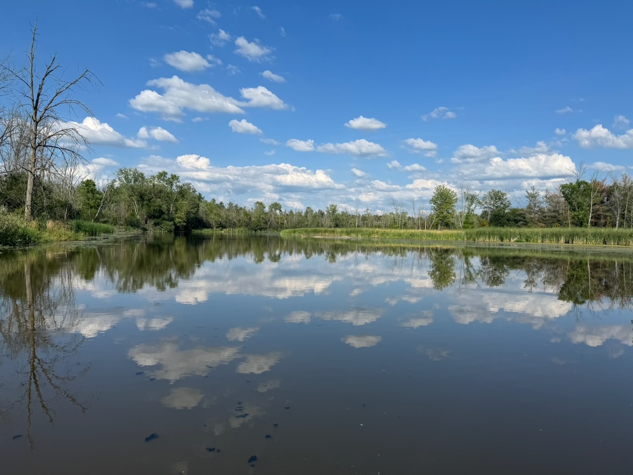
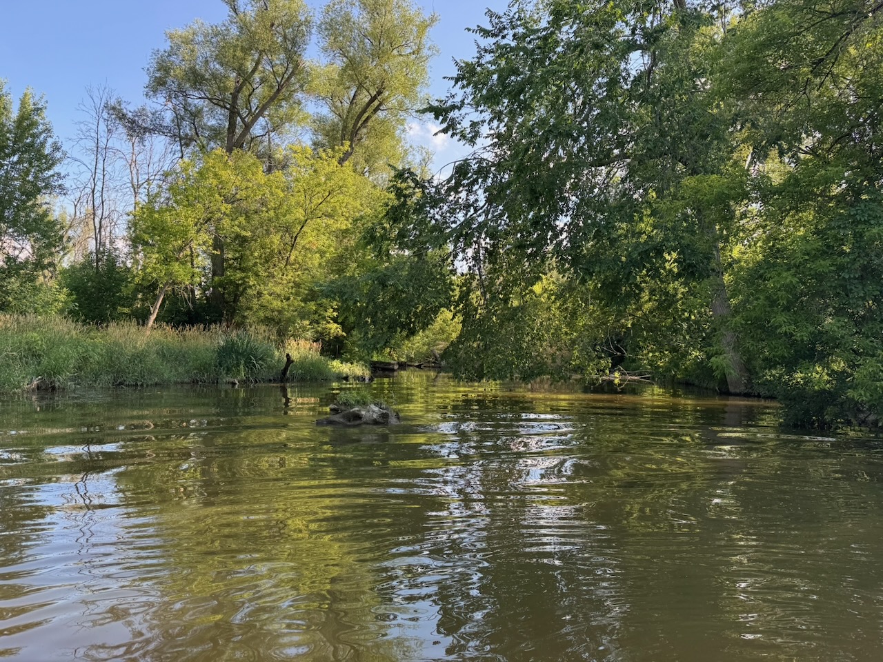
However! No risk no reward! A true adventurer never gives up, at least not until he freezes to death. So I kept going. The river seems to go on and on from here. There were houses, then empty river where you think it will end, then more houses, then more empty, river, then more houses, etc. At this point I was really getting scared, I thought for sure I’d fouled the intake with all the weeds in the water. The river had become more of a stream, then something closer to a creek.

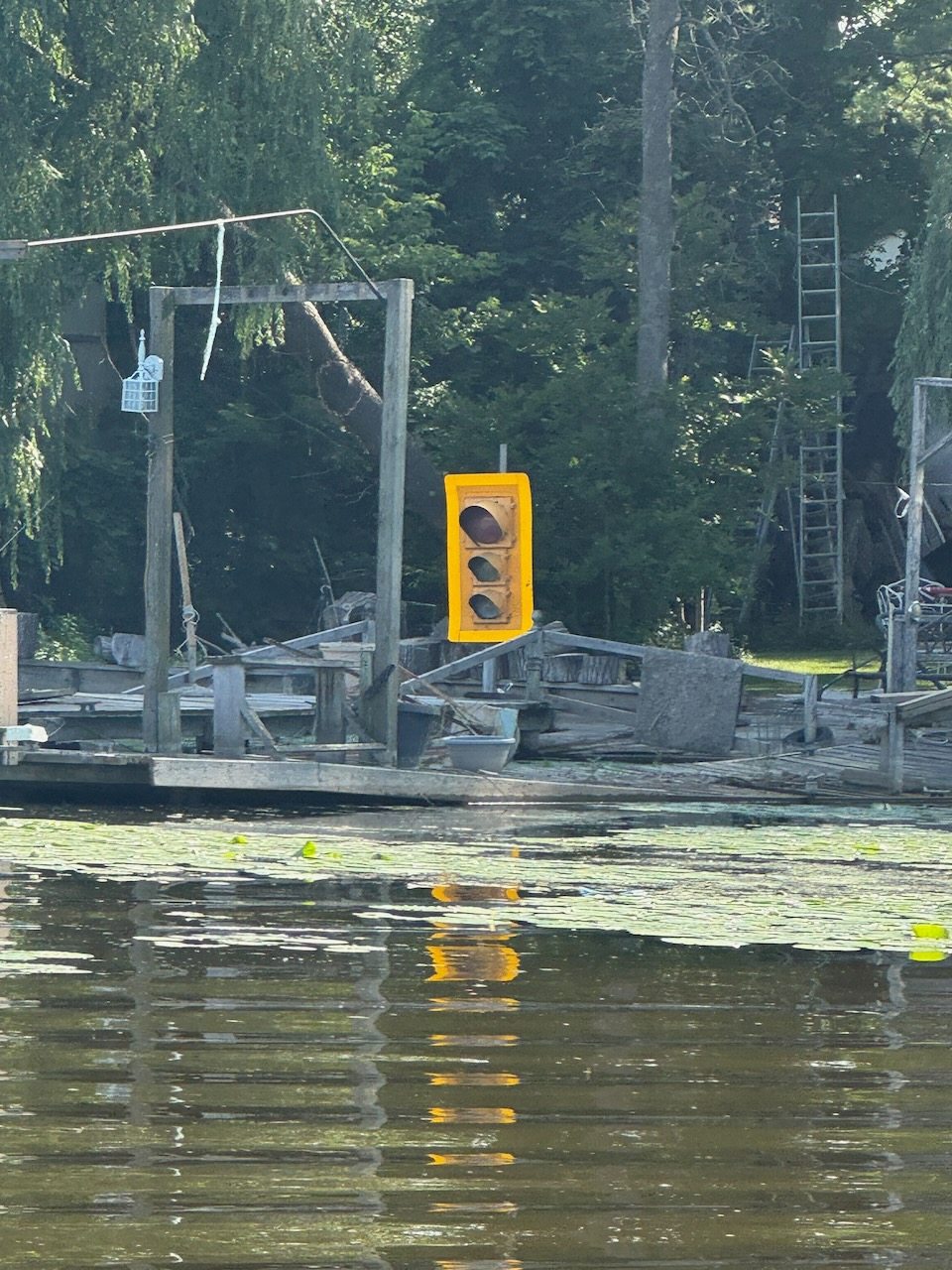
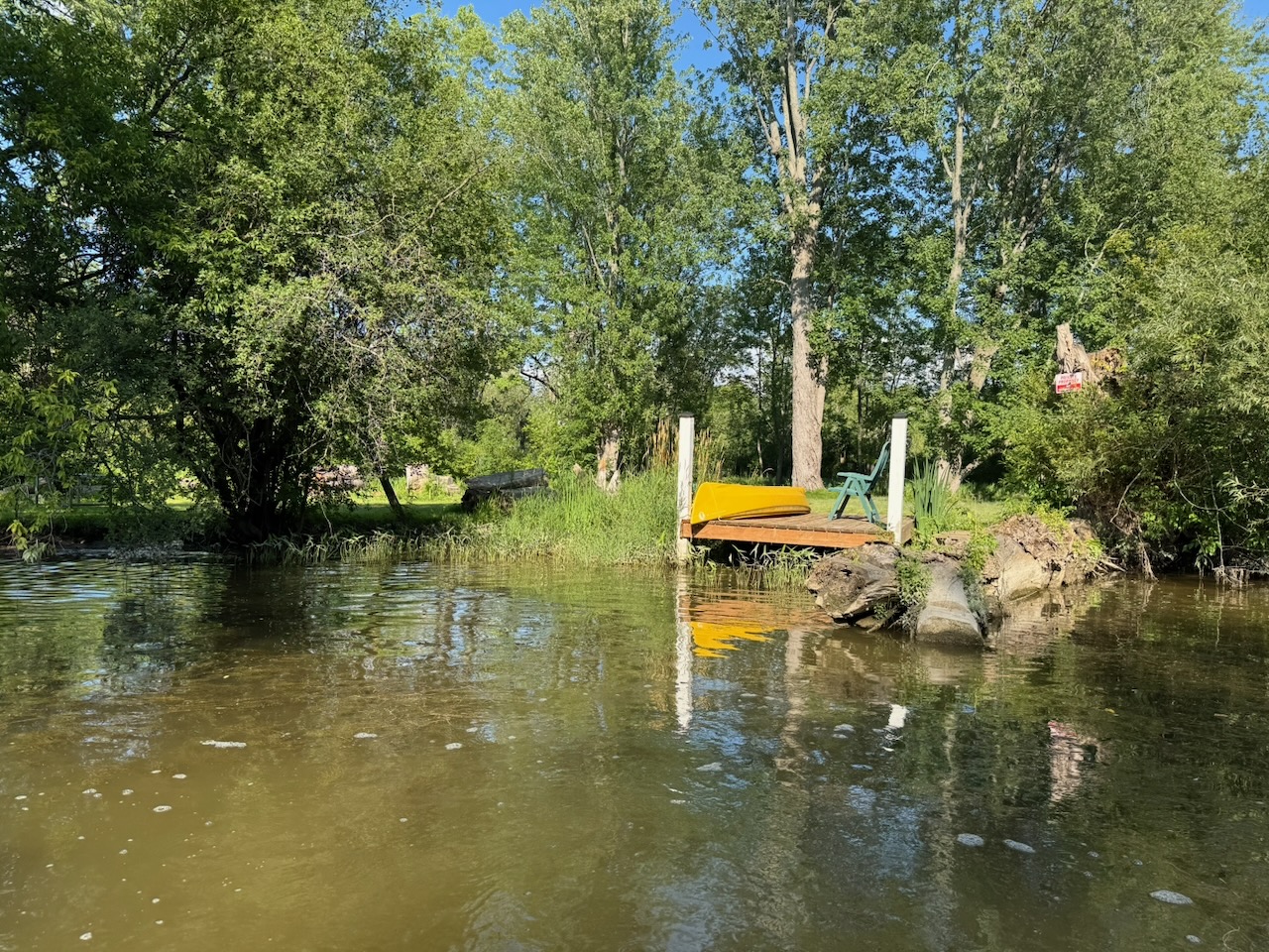
But nope, I gave the throttle a few hits when I wasn’t in front of anyone’s house and all was well. I finally hit the end of the navigable portion of the river here, right next to someone’s “dock”. There were many trees and logs fallen across the river at this point. You might be able to get a canoe or kayak further, but this was it for the WaveRunner. From Google Earth it looks like the river finally peters out somewhere around Bailey Ecological Park in Newmarket, which is at least as far again as I’d already come. But as I said, probably not much more than a creek that’s mere inches deep for most of that.

Remember that white marker? There’s a West Holland River too….

What’s at the Bottom of Cook’s Bay: Part Two, the East Holland River

Hike the Bruce Trail Day Seven: The Hammer

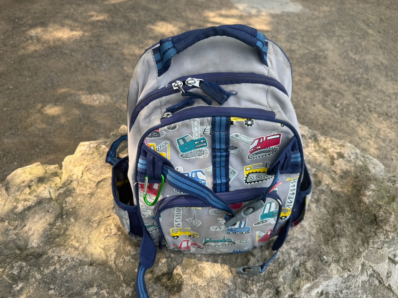
Left from Lake Simcoe for this one, as such I was on the road just after 5AM. I had left my backpack in Toronto so instead I used my son’s backpack from when he was in kindergarten. It worked surprisingly well, so much so that I think I’ll consider using it from now on. That way Will can be with me on the hike, in a way. It also meant that I didn’t have my bug spray.

Start: Albion Falls

End: Tiffany Falls Conservation Area

Distance: 21.3km

Weather: 25C and sunny

The Route

The lack of bug spray was immediately a problem. The beginning of the hike was through the woods and the mosquitos were out in full force. Still, the views out over the city from the escarpment were beautiful. Some even better ones were yet to come.

There’s not much wilderness on either side of the trail for long. Eventually, as you can see from the map, it’s city on both sides of you until you get to the other side of Hamilton. There’s still forest, but it doesn’t extend more than a few dozen meters on either side.

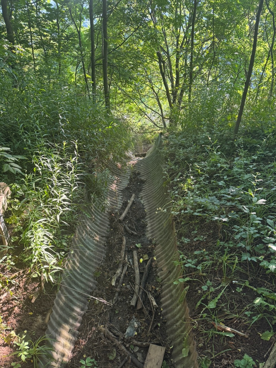
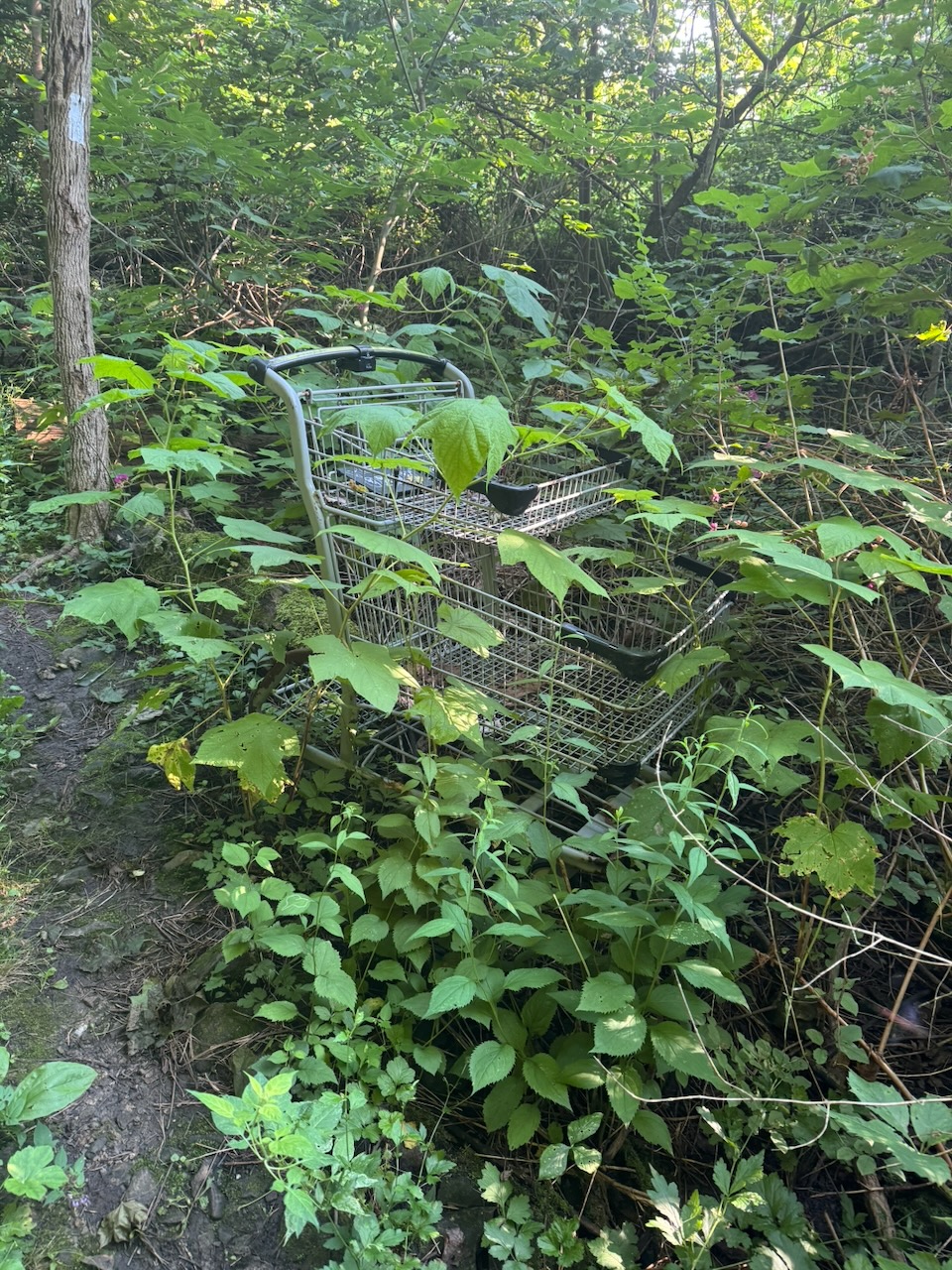
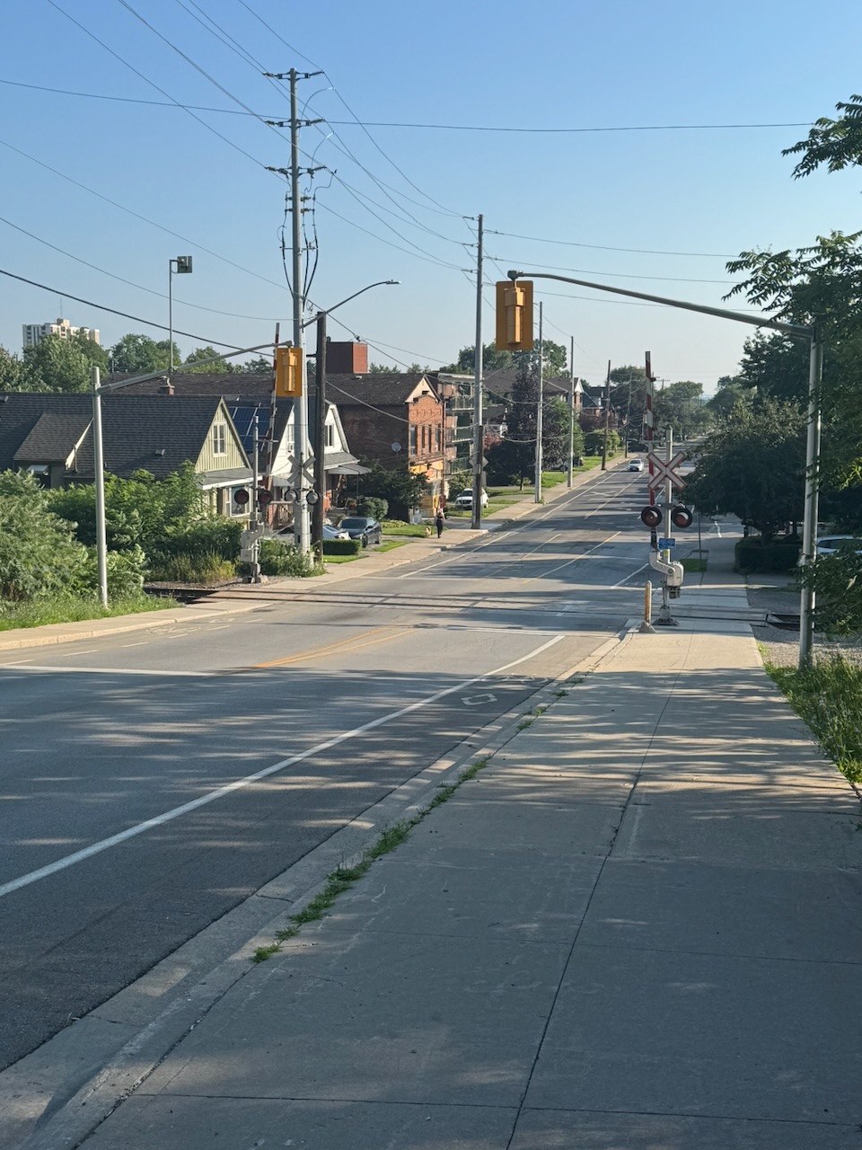
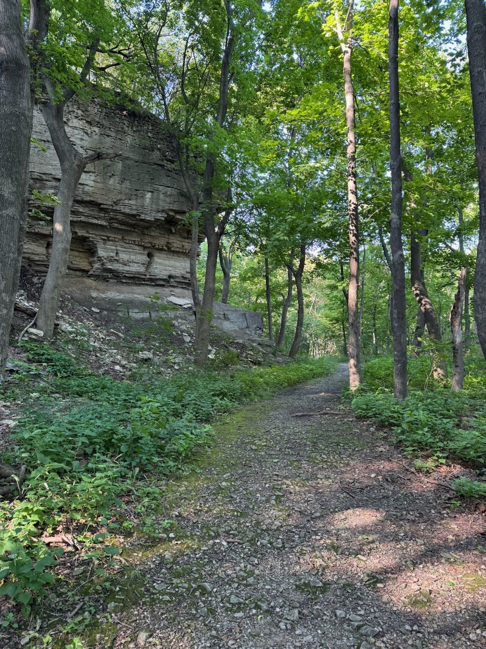
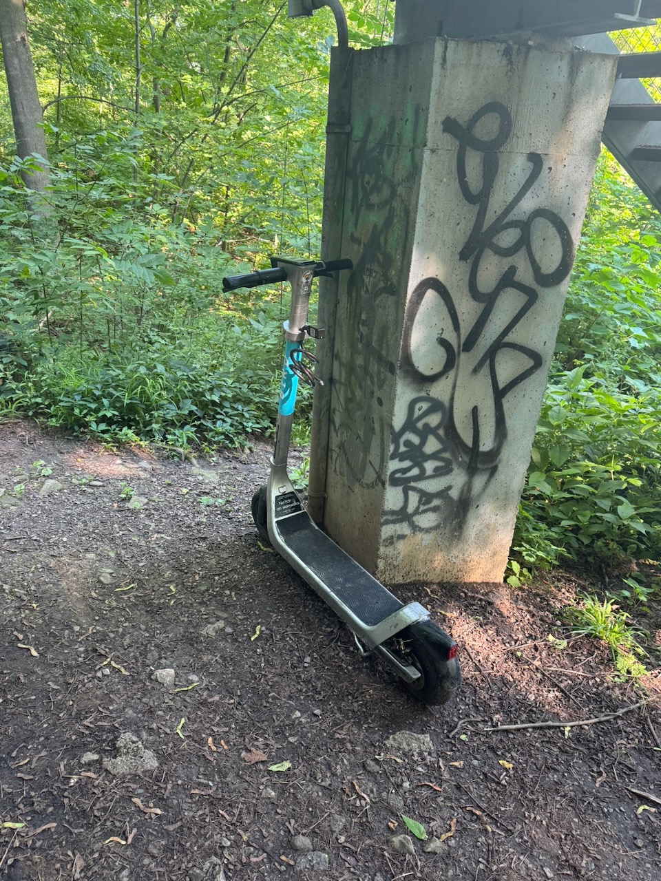
Here the trail joins up with Hamilton’s urban trail system. Technically this portion is called the “Escarpment Rail Trail” and it follows the pathway of the old Hamilton & Erie railway along the escarpment (as you’d expect). Because it’s an urban trail you see a lot more “urban” things like discarded shopping carts and graffiti. You might think this would bother me, as the Bruce Trail is primarily meant to be a nature trail. But it’s fine, it’s nice to have something to break up the woods, and it gives me something to write about. I was surprised that I wasn’t seeing any homeless encampments, since this would be prime real-estate for them, and Hamilton is known for having a serious homelessness/drug problem.

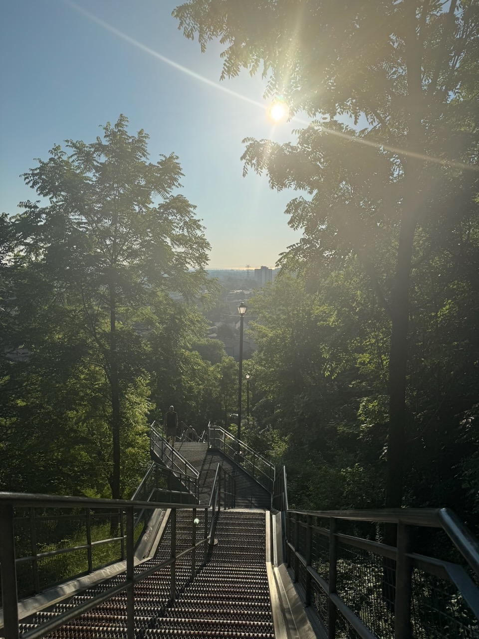
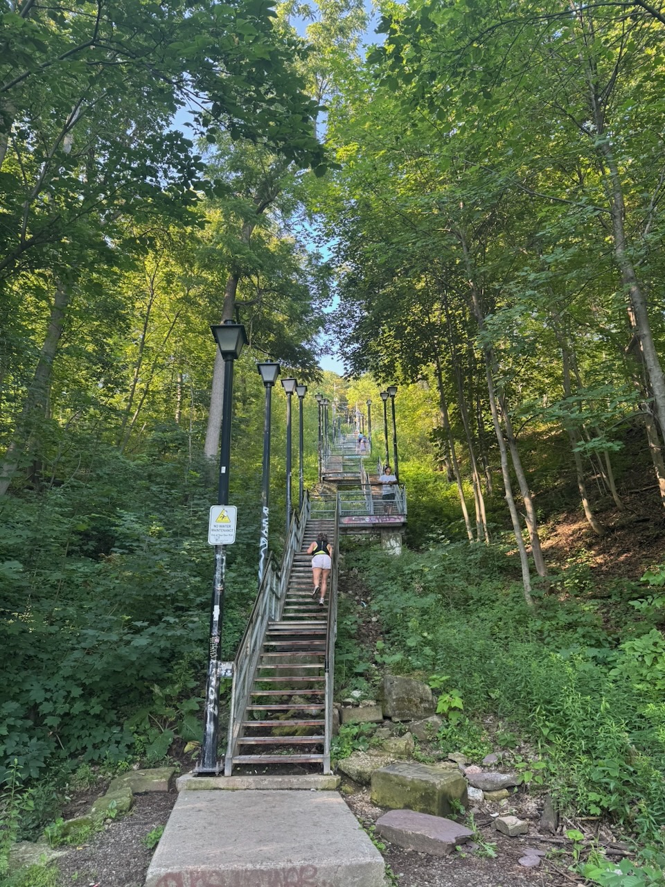
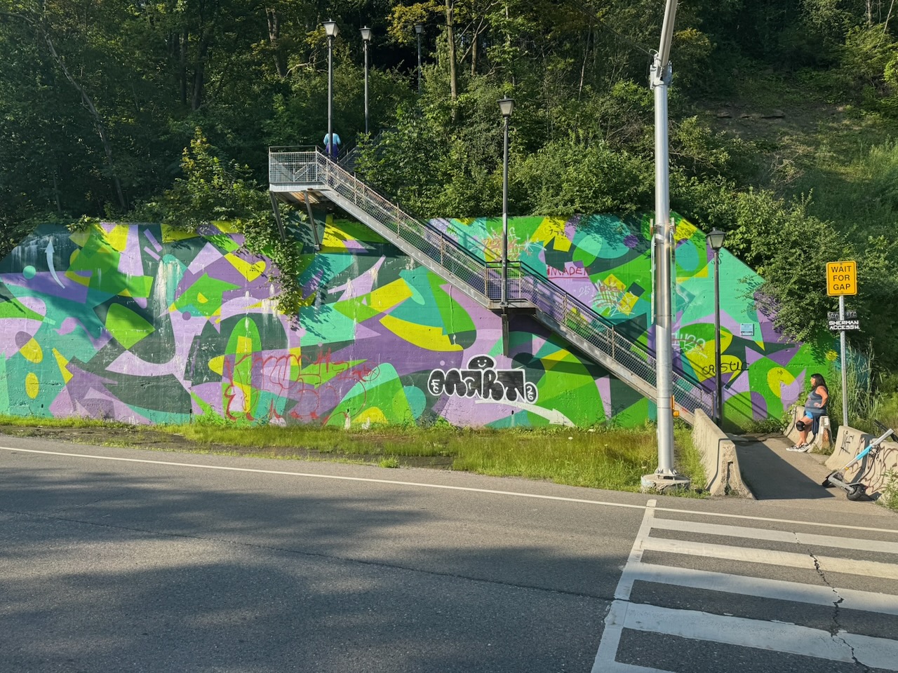
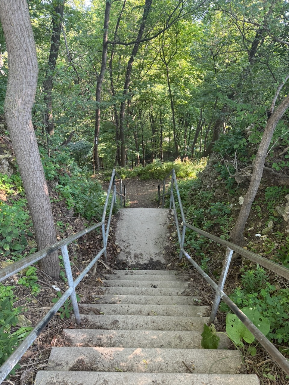
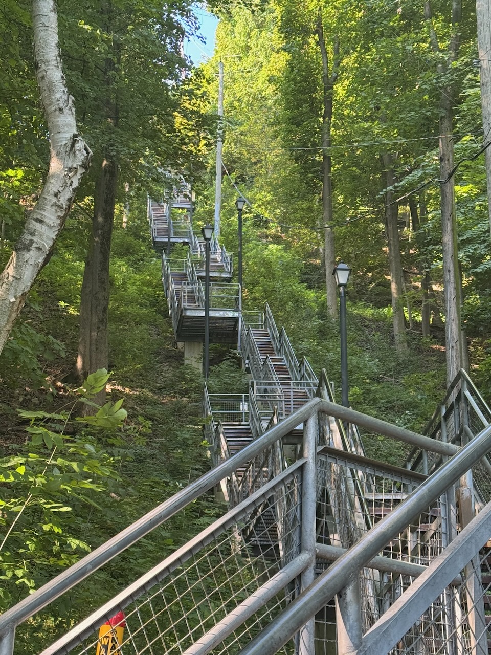
Eventually I came to an enormous stairway that seems to be Hamilton’s Ministry of Silly Walks. I saw one person who would take a step, stretch that leg, take another step, stretch that leg, and so on. There was another person who was sort of “crab walking” sideways one way, then the other. I’m guessing this is because the stairs go on for so long that people need to pace themselves and prevent cramps. That doesn’t make it look any less silly though. At the top of the stairs you’re spit out onto some roads.

It’s about here that I started to notice the smell.

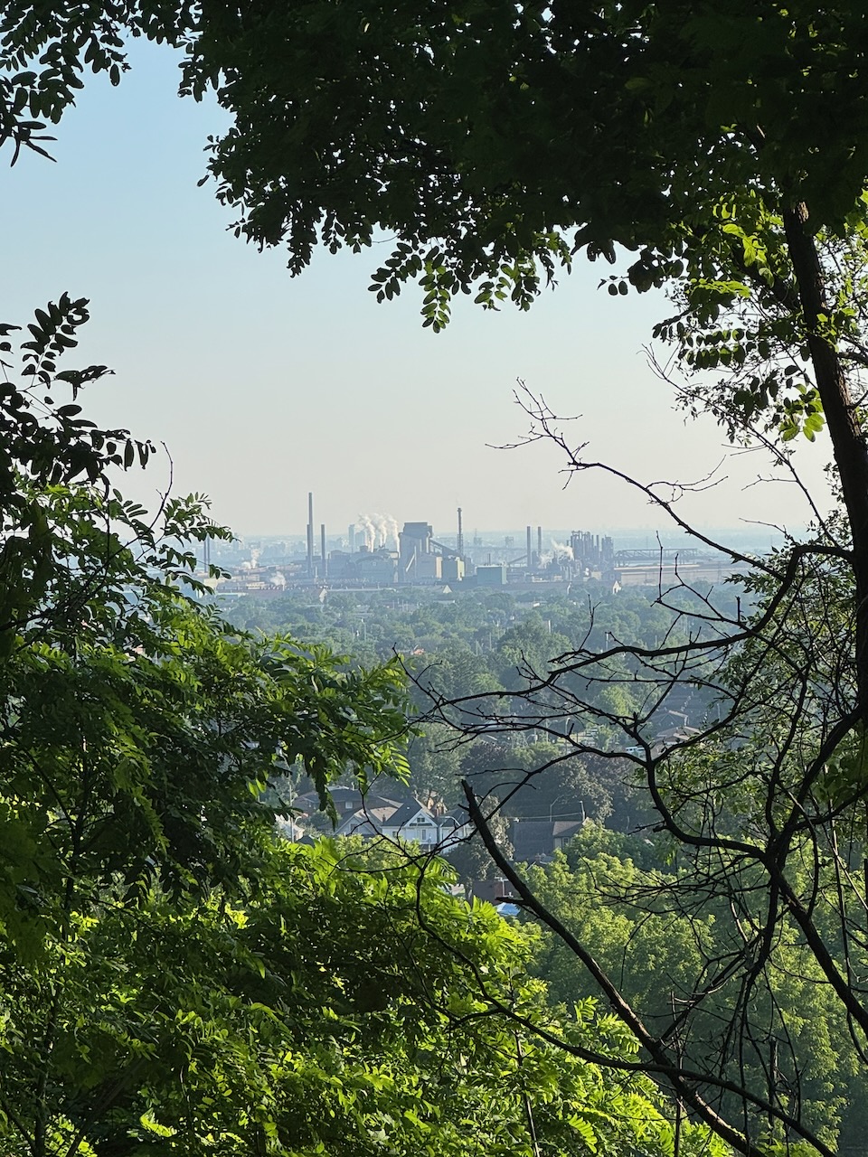
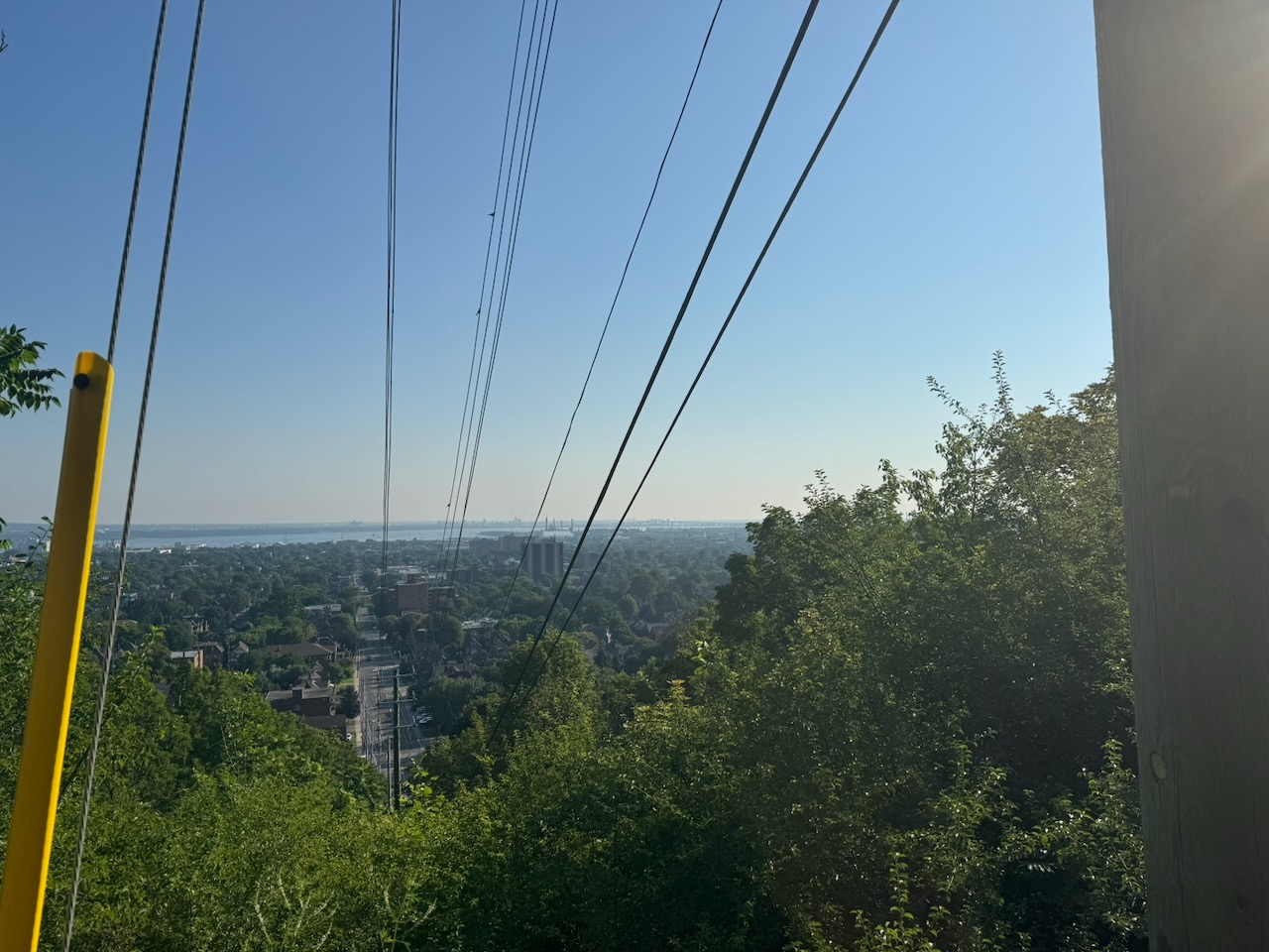
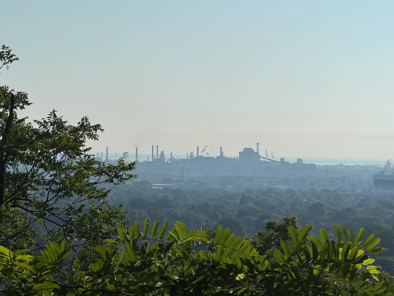
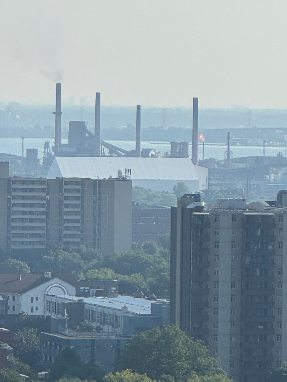
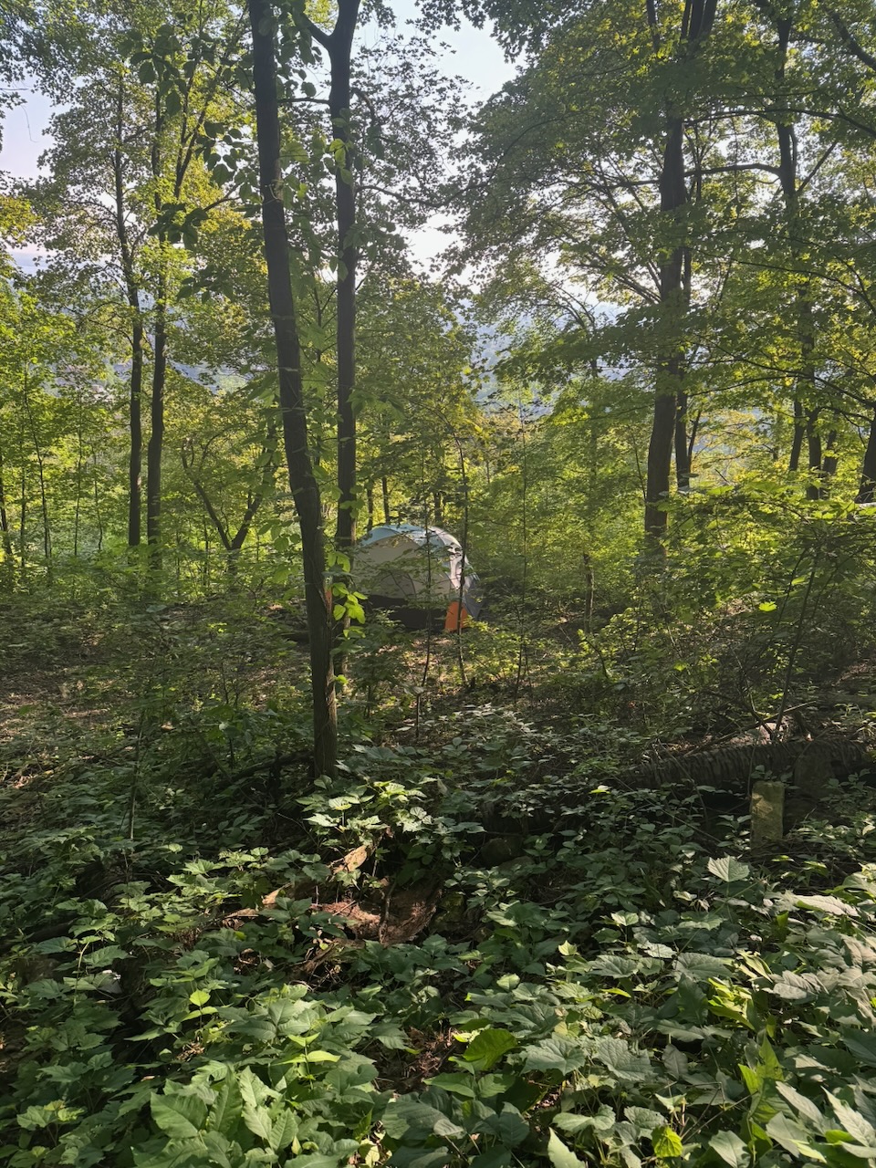
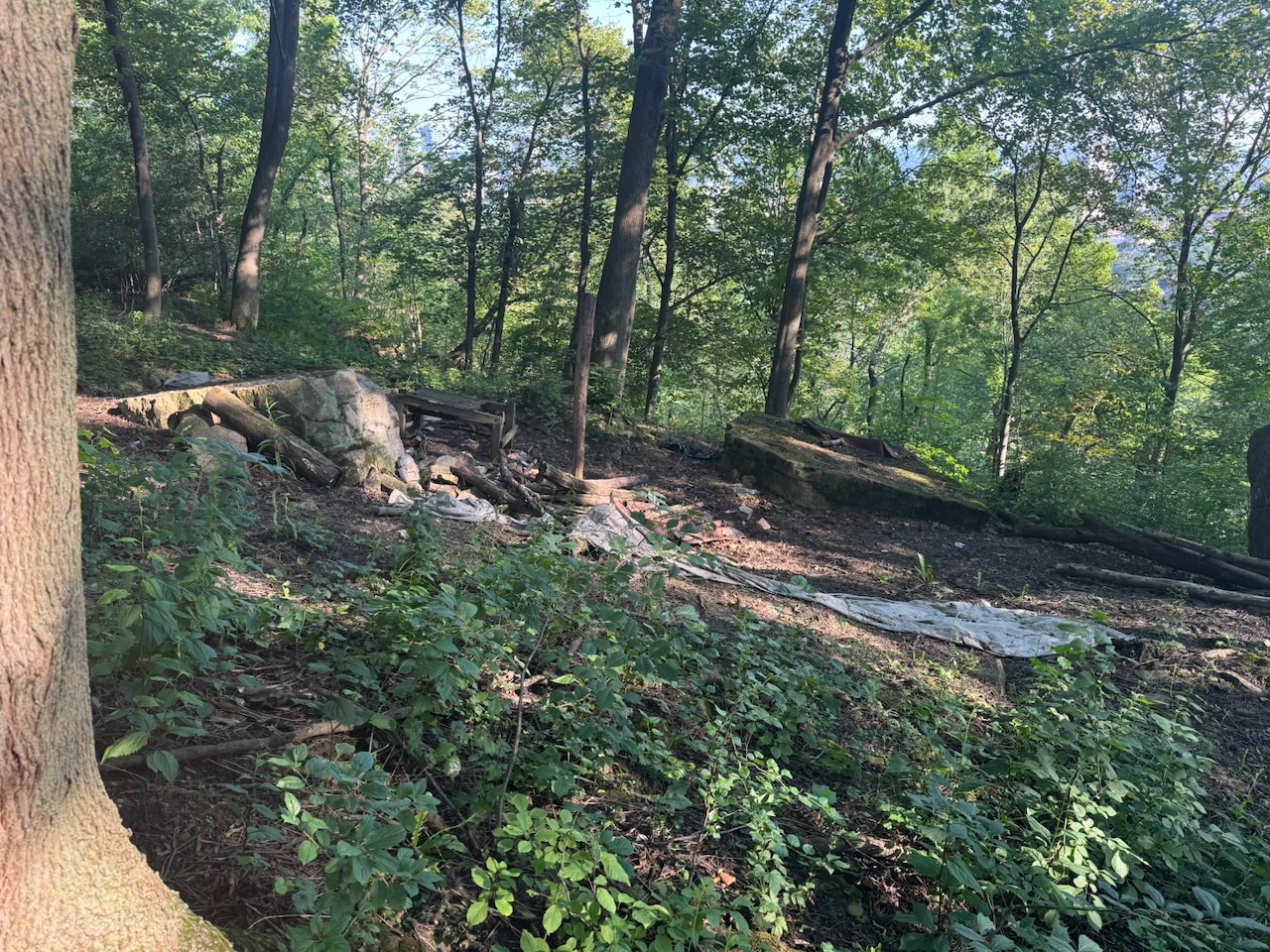
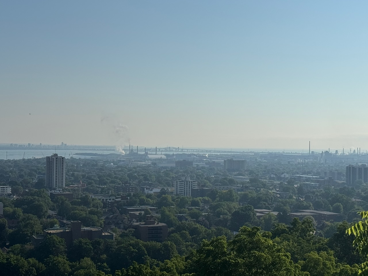
I’ve heard before that Hamilton has a certain odour to it. This is mostly to do with the steel mills and industry along the harbour. From up here you could get an excellent view of the mills and all their stacks, including the gas flare (the big open flame you can see in one of the pictures). It doesn’t smell “bad” per se… but it doesn’t smell good either. It’s just sort of there, and not as bad as you think. That could be Hamilton’s motto actually: “Hamilton: It’s here, and not as bad as you think.” It was also around this point I found evidence of some encampments, but I wasn’t sure if they were still occupied.

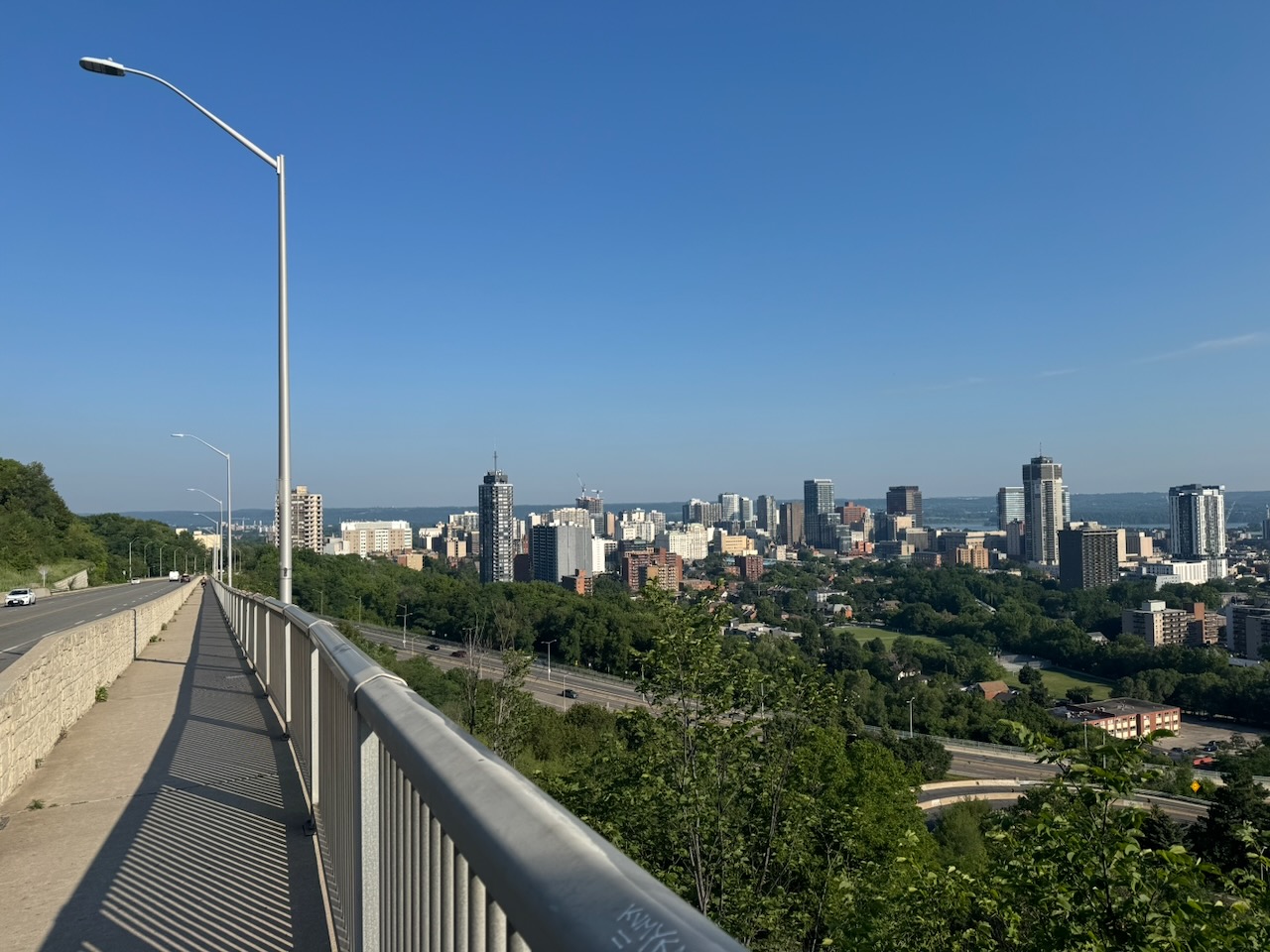
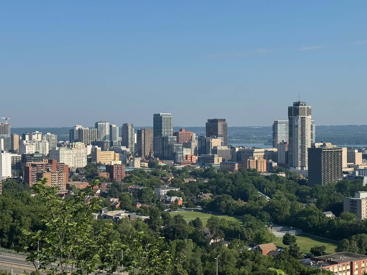
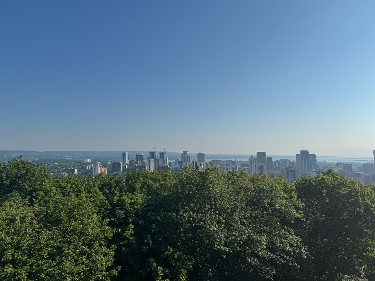
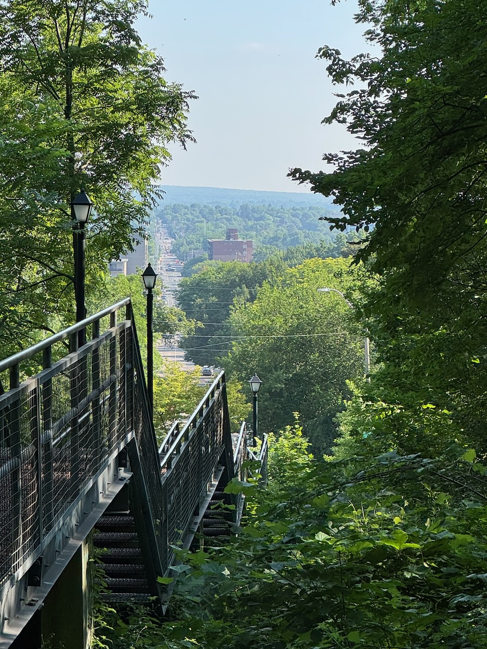
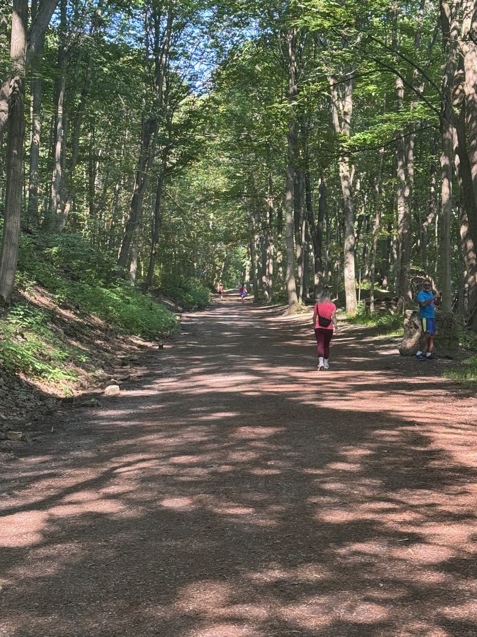
Descending slowly down the escarpment you’re treated to probably the best views of downtown you’ll see on the trail. But after this the trail is either briefly on roadways or follows next to them. There are some wonderful old homes up here. Because it’s Hamilton, most of them haven’t been torn down and replaced with McMansions. There were lots of walkers and runners when I rejoined the urban trail system. It was a stark contrast to how empty most of the trail has been so far. I guess people don’t really stray that far from home.

There was one last viewpoint with sweeping vistas out over the north side of Hamilton harbour before I was dumped into generic fields and woods again. I ran the last few kilometres as I was anxious to get back to the lake. I finished up at the entrance to the Tiffany Falls side trail. There were a large number of people getting ready for their “hike” to the falls. I’ve actually been there before with Addy & Will, it’s less than half a kilometre, yet people were still showing up in workout gear and with walking sticks. Oh well, at least they’re out there.

While I was waiting for my Uber to show up I glanced down at my pant leg and noticed a small bug crawling along. Yup, it was an adult female black legged tick. I did a tick check when I got home and couldn’t find any on my person, but it’s not just hype, they’re out there.

Only 749km to go!
Hike the Bruce Trail Day Seven: The Hammer

What’s at the Bottom of Cook’s Bay?

This article originally appeared in slightly edited form in my cottage newsletter the “Big Cedar News”. A small weekly for residents of Big Cedar Point on Lake Simcoe.

Although most people on the point have very capable boats these days, I’ve noticed that few seem to use them to go exploring. Part of that may be the price of fuel: as of this past weekend, mid-grade ethanol-free gas was about $2.15 per litre at Monto-Reno. Friday Harbour is usually even more expensive, so I imagine some Friday Harbour residents may have to cut back on plastic surgery this summer to keep their “Super Air Nautique” boats fuelled.

On a related note, has anyone else noticed that these places now ask for tips when you fuel up—and not just $2 or $5, but a percentage? I know the gas bar girls are cute, but to tip 20% on a $600 fill up they better be pumping more than gas.

Where were we? Ah yes, what’s at the bottom of Cooks Bay?

Let’s find out. Last summer, I bought a jet-ski, which is ideal for exploring shallow water quickly because it has a low draft and a high top speed. I apologize that the photos are not better, I had limited time and only an iPhone, which I was using while sitting on a jet-ski.

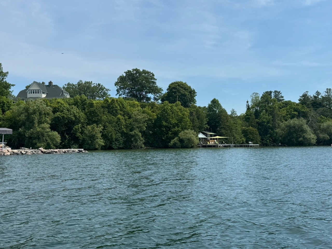
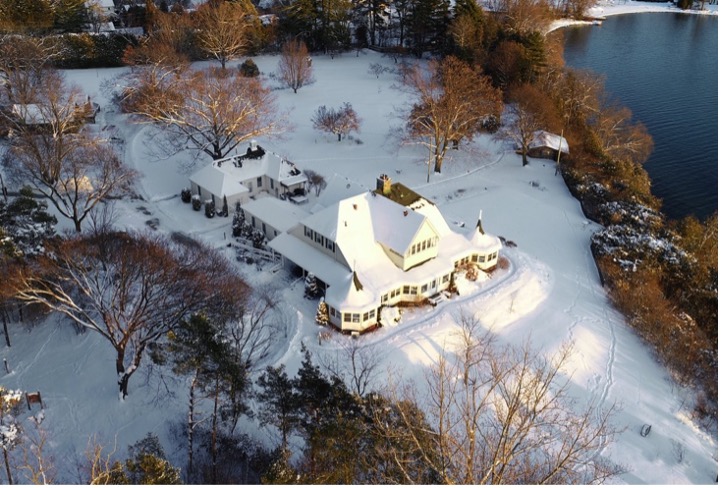
After rounding Roches Point—I’m only now learning that this is the correct spelling, that it’s pronounced “ro-shes” rather than “ro-ches,” and that it was named after an Irish man named Roch—the first intriguing sight is what appears to be a beautiful old house at the top of the hill. I’ve known since forever that this house is “owned by the Catholic church”. But that’s it. If anyone’s interested (you’re reading this aren’t you?) it’s called Loretto Maryholme Retreat. It offers “spiritual retreats” and is run by the Sisters of Loretto, who also run the Catholic girls’ school near where I live, Loretto Abbey.

The left picture is mine; the right is from their website.

Up next there is a road end that has what looks like a ferry dock and a tiny marina that I never knew about at Balfour Beach. No idea who owns the marina or how you get your boat there. I can’t find a website for it or much of any info on the internet.

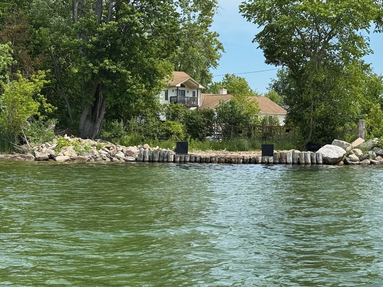
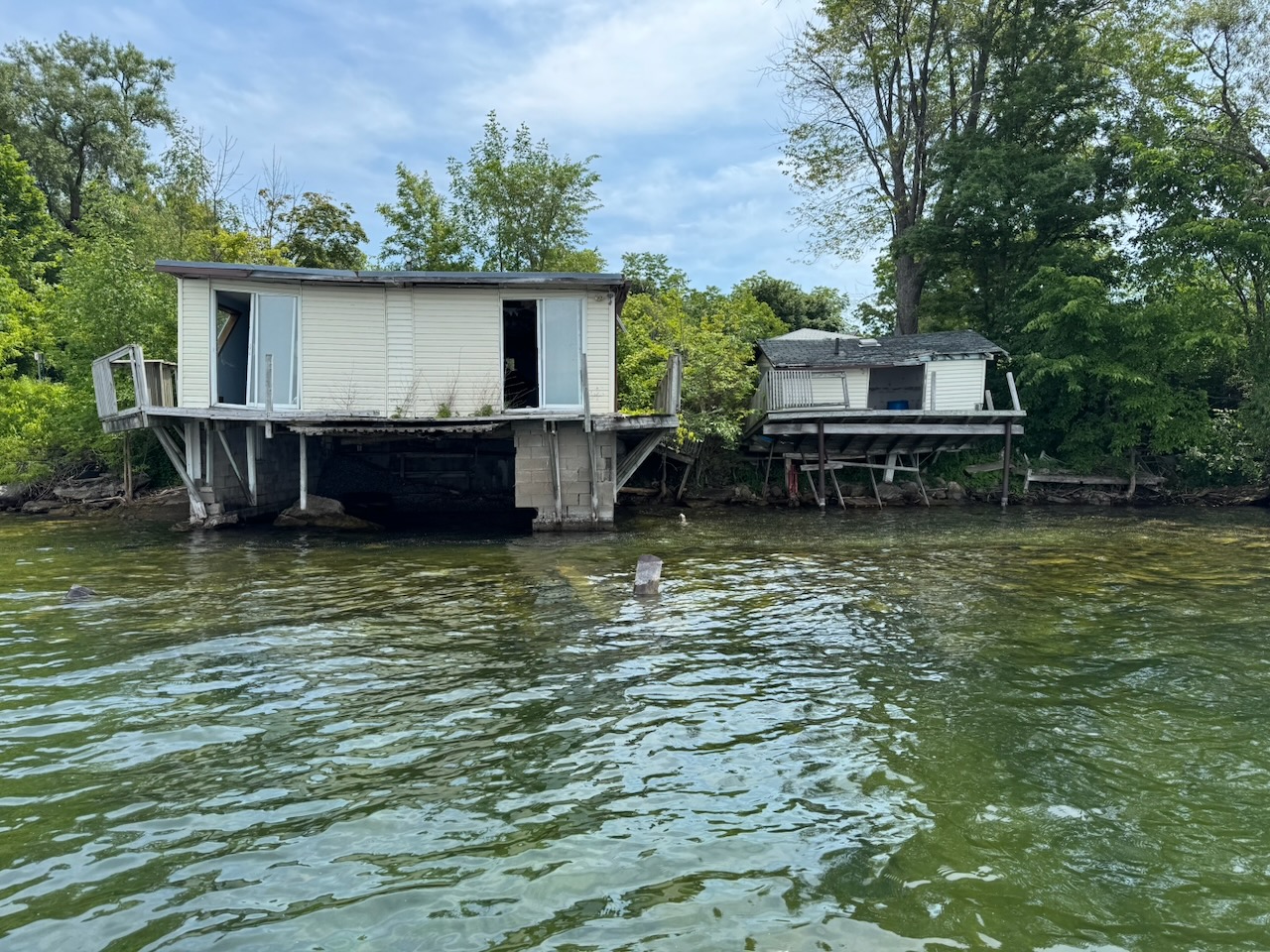
After this I happened upon two old boat houses slowly rotting into the ground/water. They are way too far gone to fix at this point, and one of them (the left) still seems to have furniture inside. They are surrounded by well-maintained homes though, so someone must still own them.

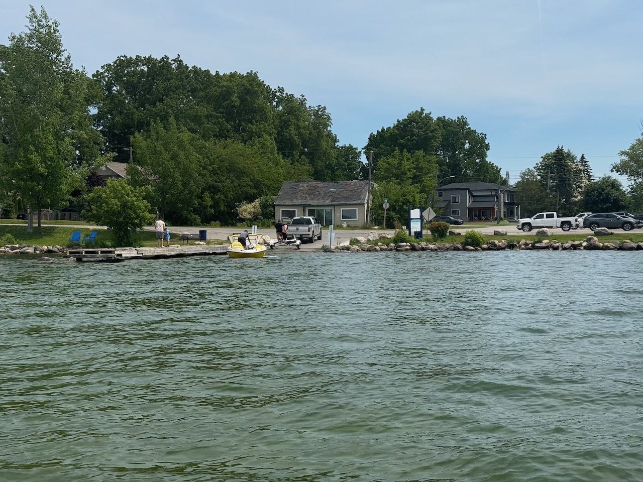
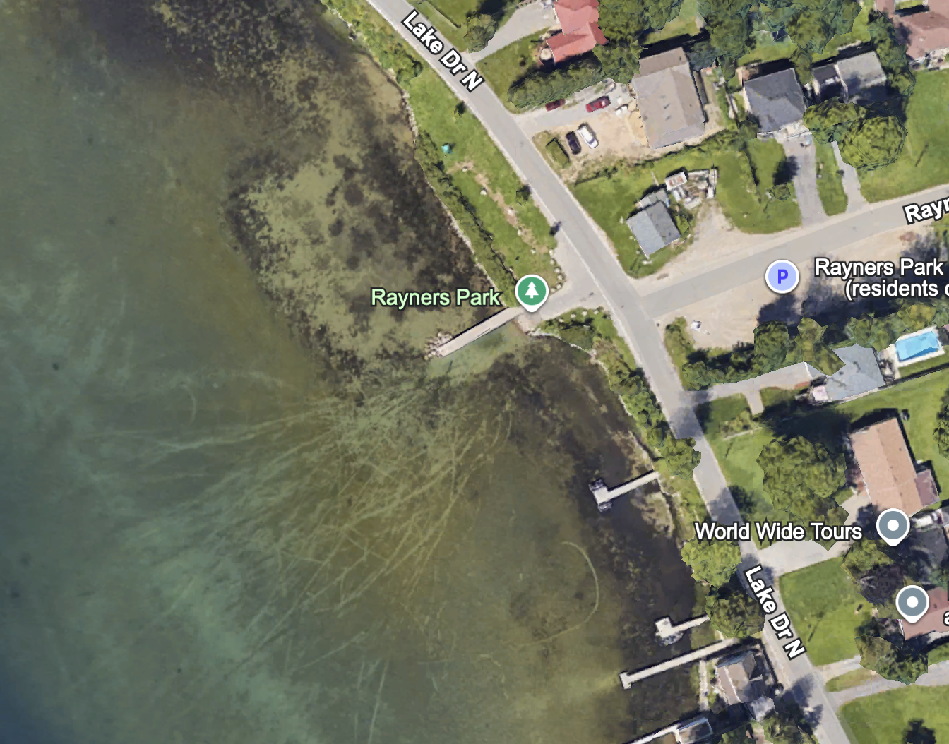
After the boat houses there is the sort of “main” Keswick boat launch. It’s called Rayners Park. I remember David Otten and I towing two broken down boats back here with my “15” (boat/motor) when we were kids and out fishing.

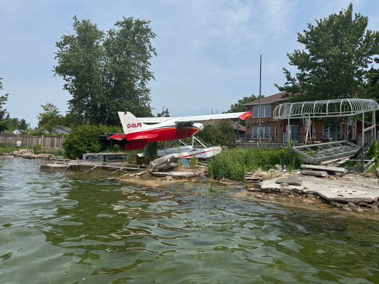
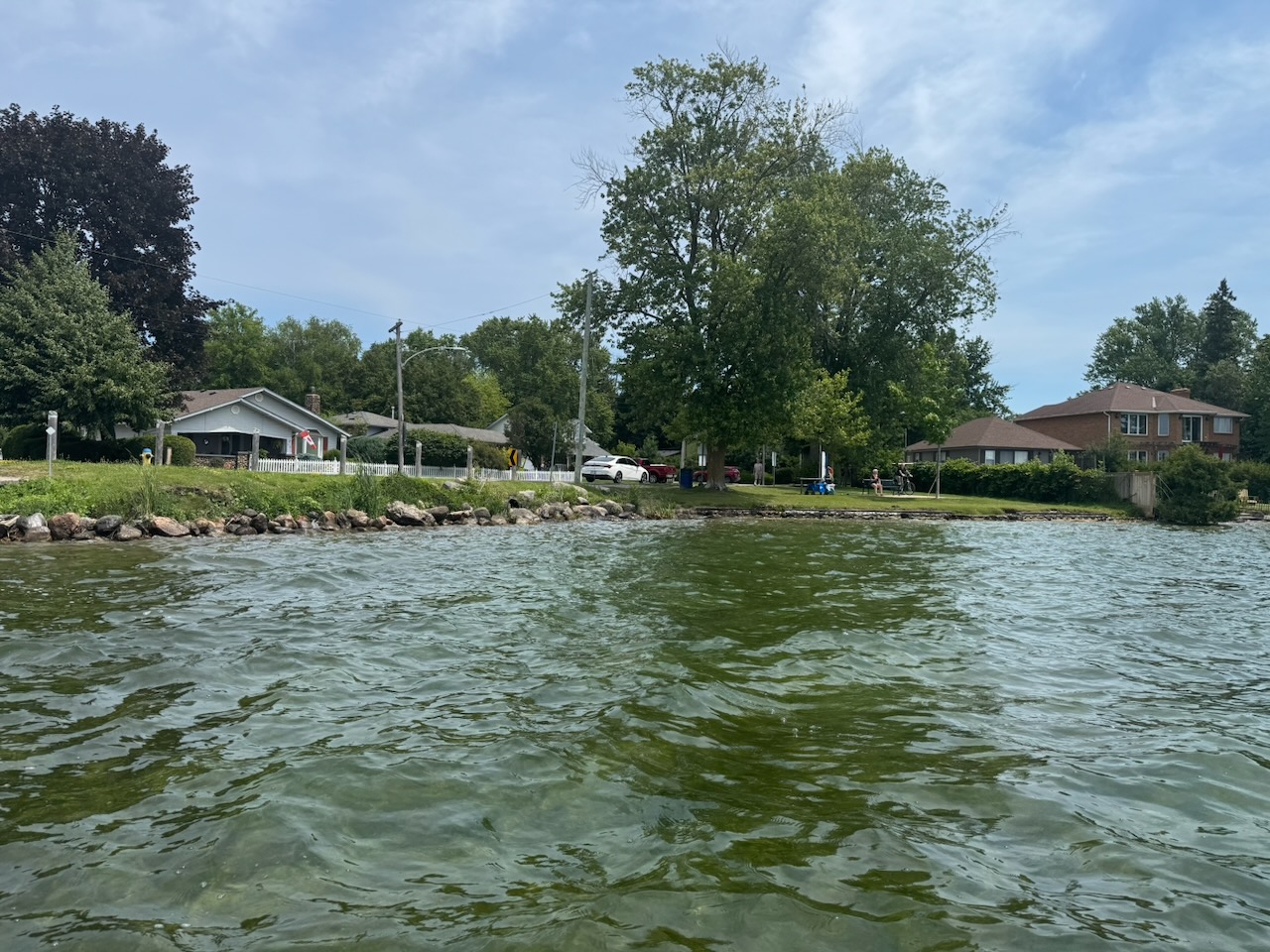
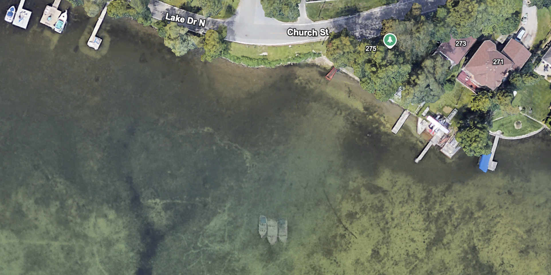
Up next I found a nice little float plane pulled up on someone’s “lawn”. It was in nice shape, but judging by the amount of junk around it, hasn’t flown in some time. Mental that people can afford to buy this stuff then let it rot.

It’s at a house right next to “Joy Marrit Parkette” and amazingly is visible on Google Earth (you can see the plane center right). There’s quite a few interesting things here. If you look closely there seems to be a few sunken boats just offshore. I’ll have to come back again and see if I can spot them. Soon, as the water is uncommonly clear right now and probably won’t stay that way.

Post Script: About a week later I went back and was unable to see any sunken boats. I used Google Earth on my phone to ensure I was at the exact right spot, but there was nothing but sand and rocks.

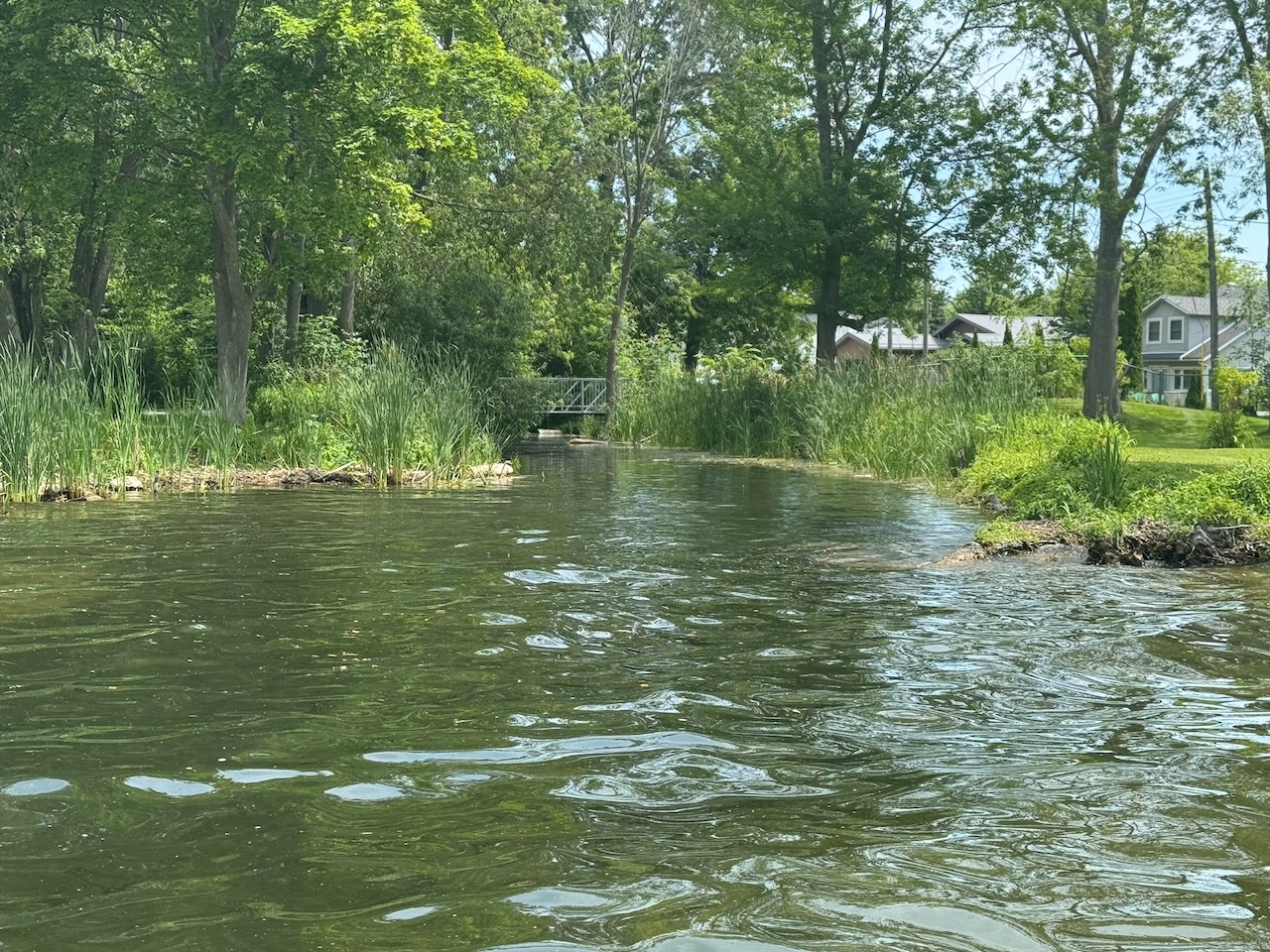
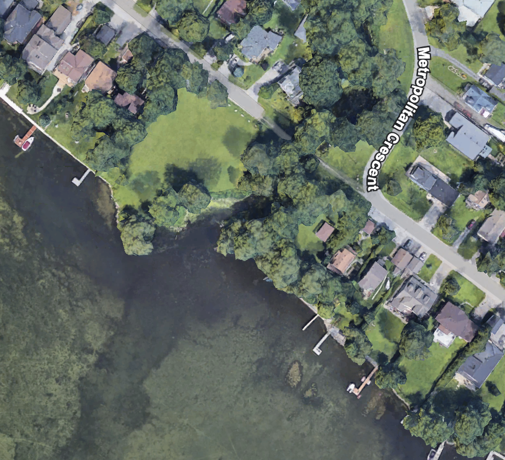
After this I found a little waterway with a pedestrian bridge over it.

I can’t find out what this park is called, but it’s clearly visible on Google Earth.

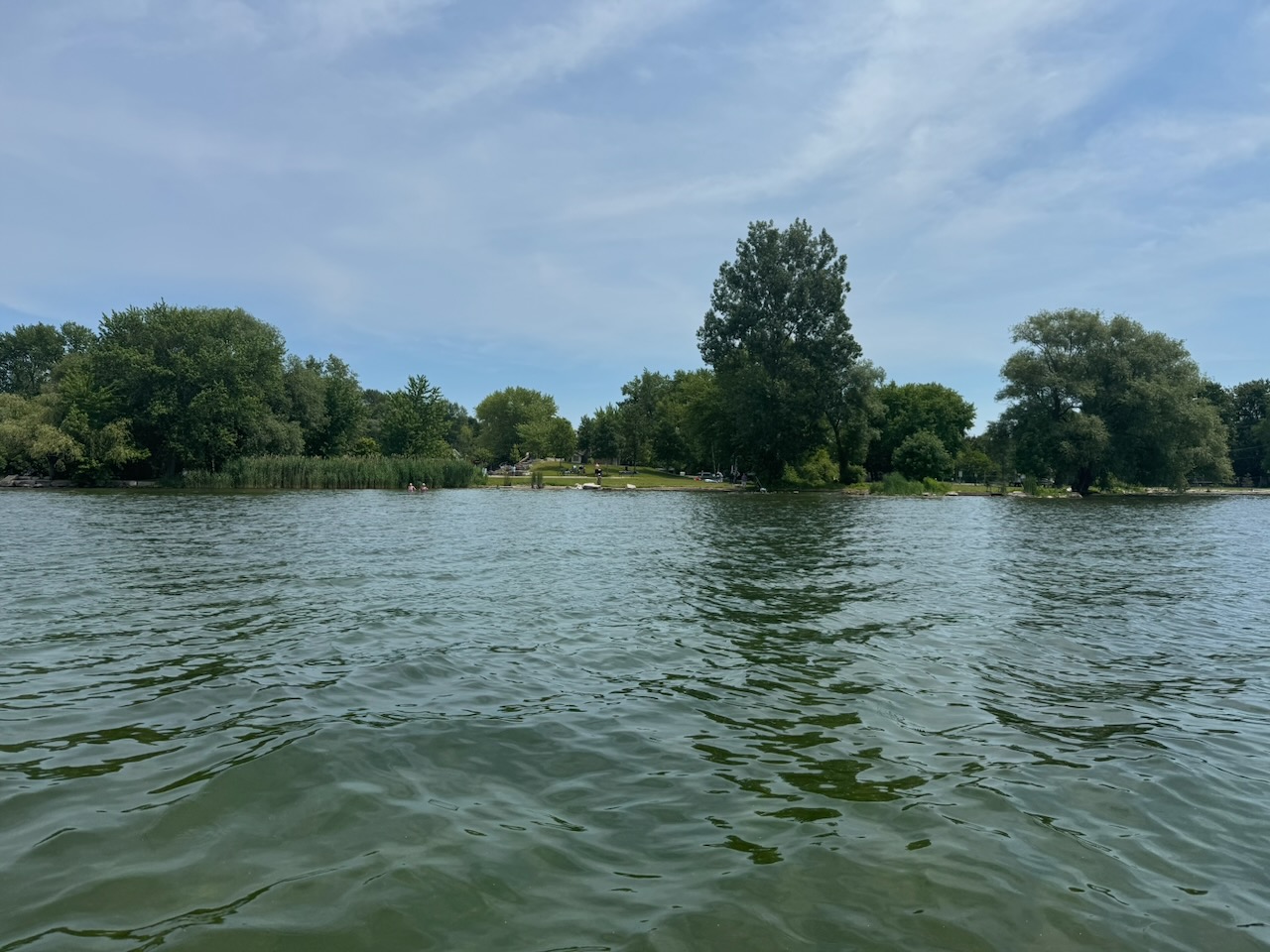
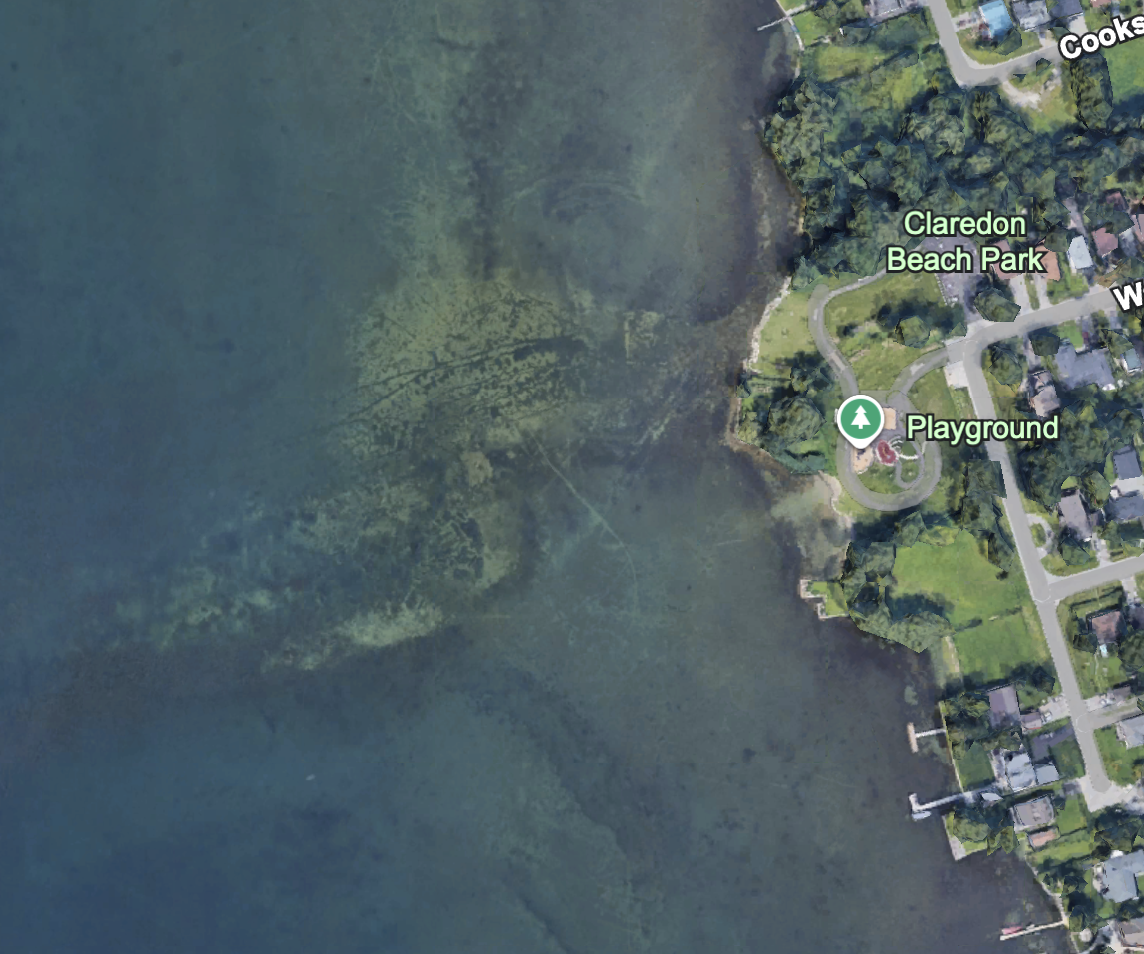
Up next is Claredon Beach Park. It’s nice that Keswick has tried to make the lakeshore publicly accessible. Of course, the lakeshore has the town of Keswick behind it (motto: “Our family trees have no branches.”) so you win some, you lose some.

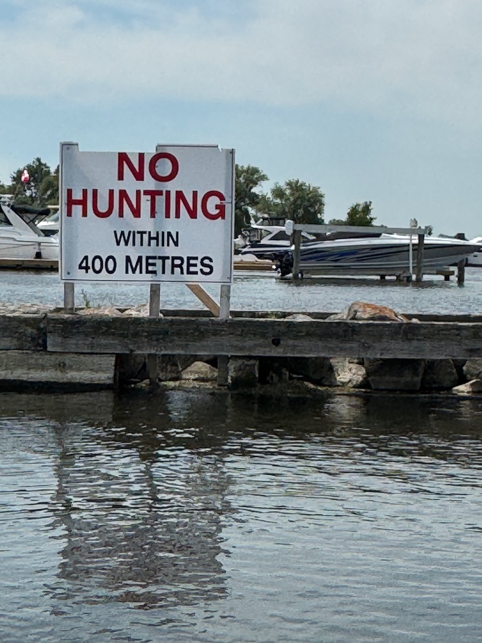
I’m sure everyone knows Krates Marina by now, as it’s hard to miss. There could be a whole separate article about this one, as it’s built on the outlet of a creek that is navigable by small boat for a surprising distance. I’ve done this many times before, so I skipped it this time. What I didn’t expect to see was a giant “No Hunting” sign on the breakwall leading into the marina. I haven’t the foggiest idea what anyone would be hunting here. Ducks perhaps? Any ducks you shot here would probably taste like gasoline, motor oil, and failure, which again makes the idea of hunting them puzzling.

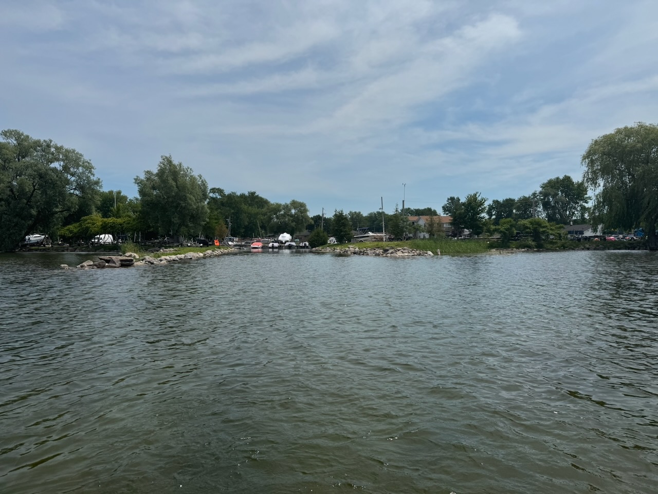
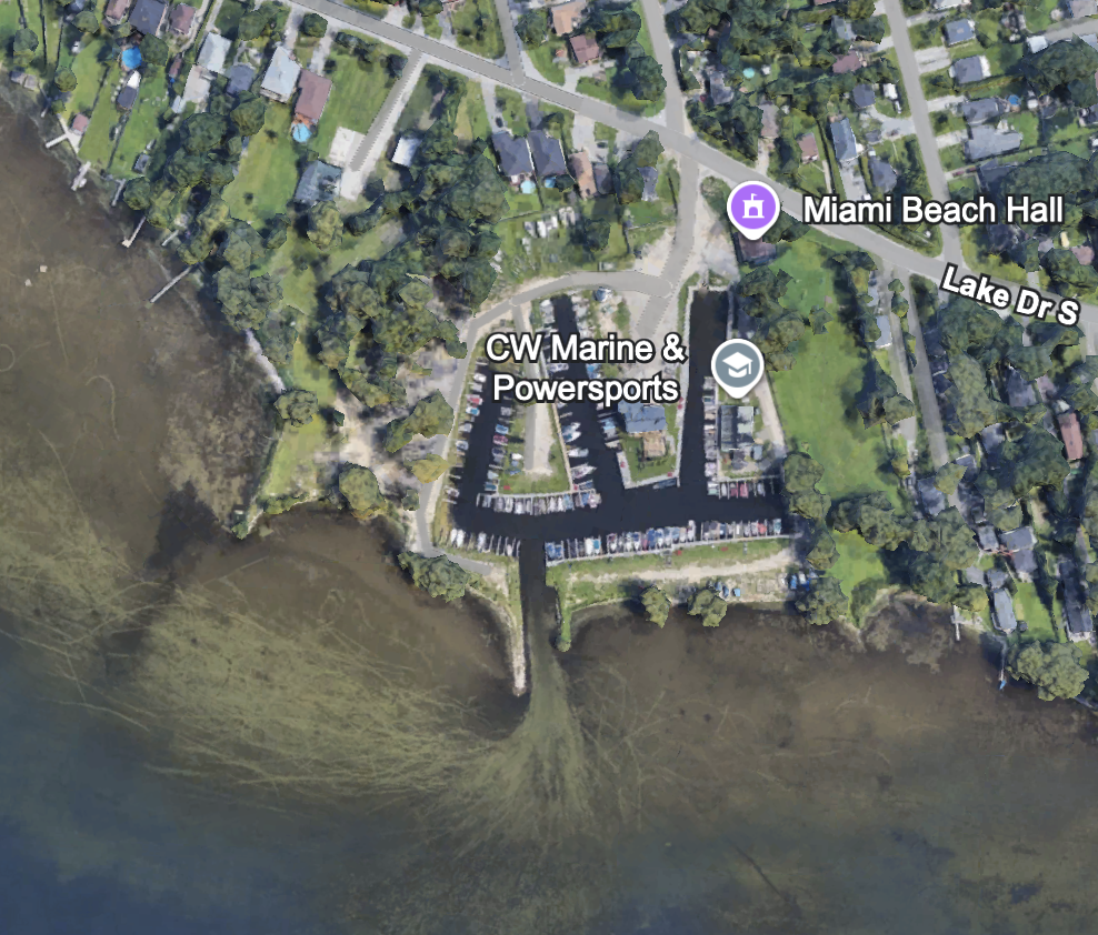
Past Krates things really get interesting, the water is very shallow, enough that most propeller driven boats would be at risk of striking the bottom. Especially near the end of the summer when the water is low. As such, I’ve not known anyone on the point to regularly come this far.

Unbelievably there is a whole other marina down here. Called C.W. Marine & Powersports. I’ve never been in there before. They have a huge floating dock out front where they rent jet-skis. Last summer I think they had one of those floating bouncy castle type things.

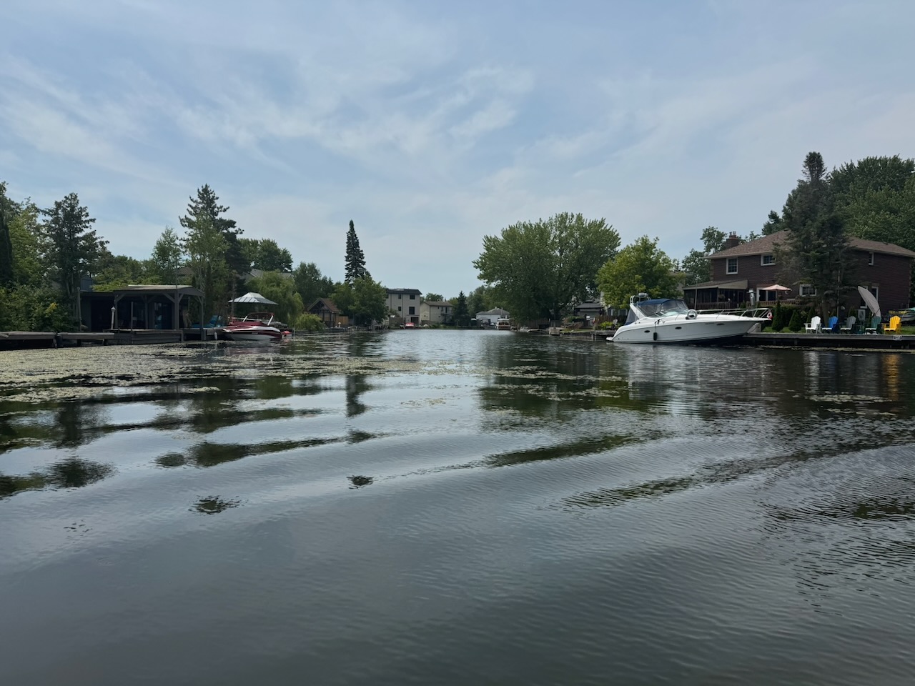
Now, as many of you know, my family on my father’s side hails from the Netherlands. Its greatest city, Amsterdam, is a city of canals that was built on top of a swamp. However, building canals on a swamp does not neccesarily mean you end up with Amsterdam. Instead you end up with… this?

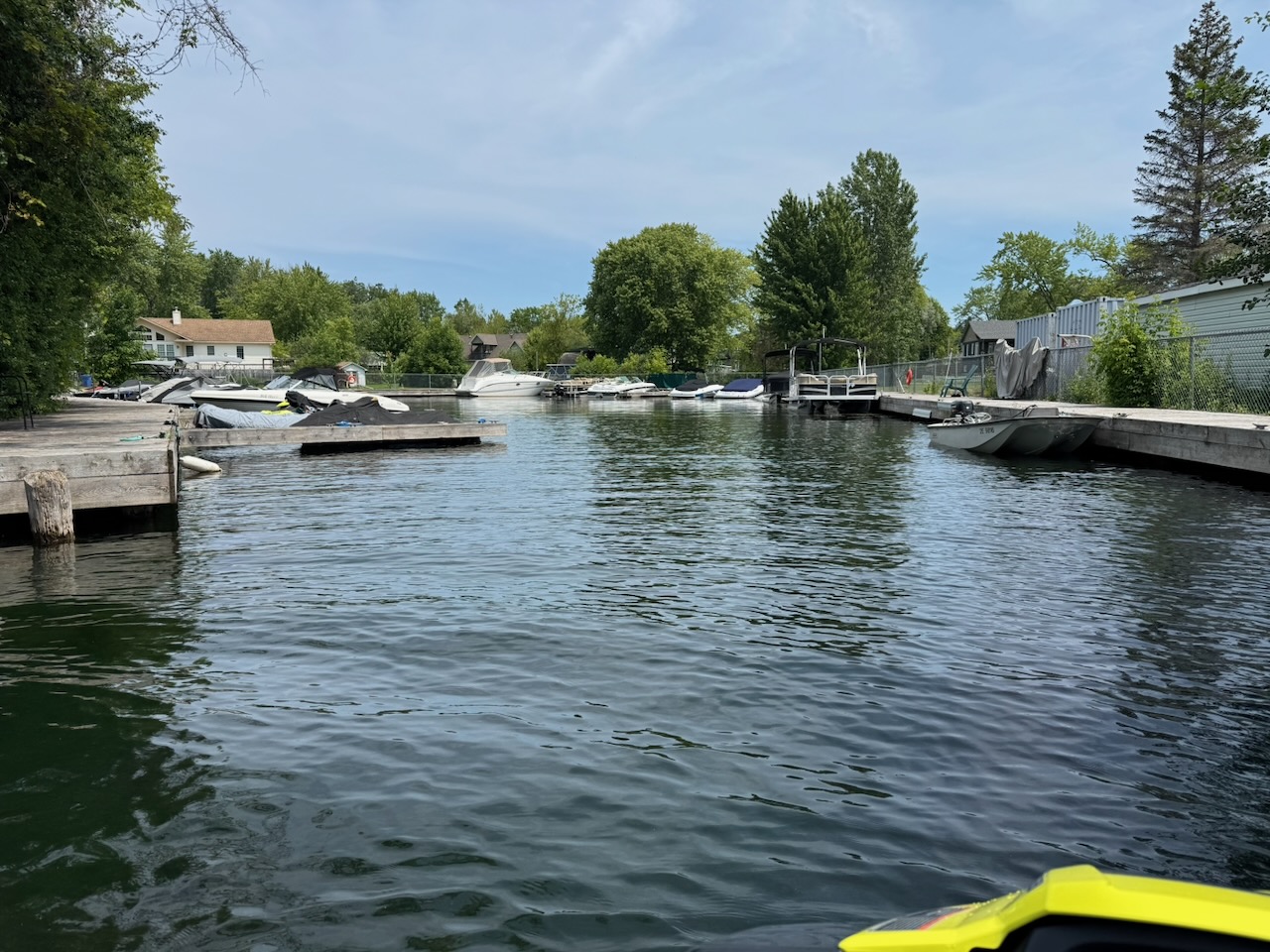
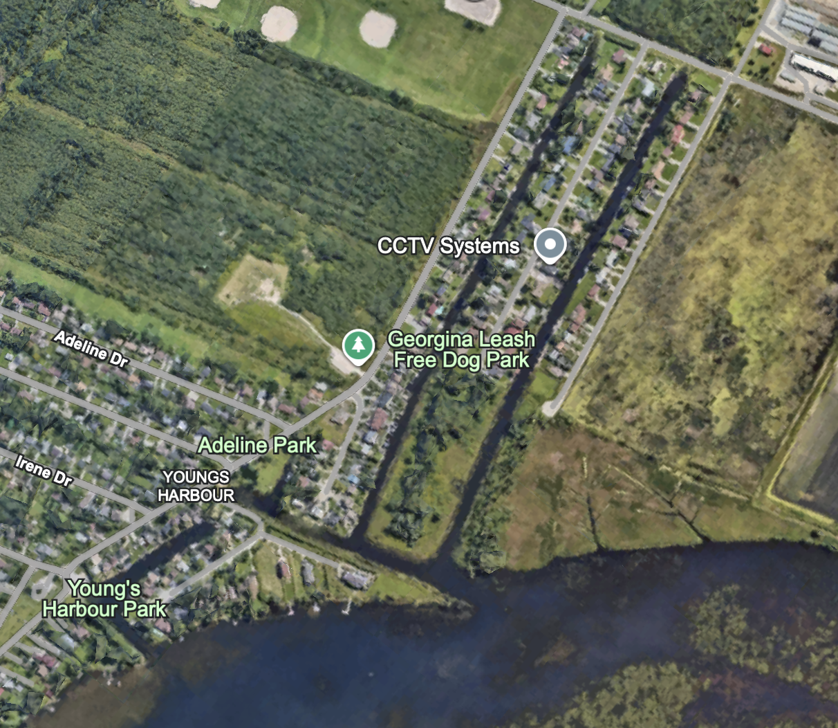
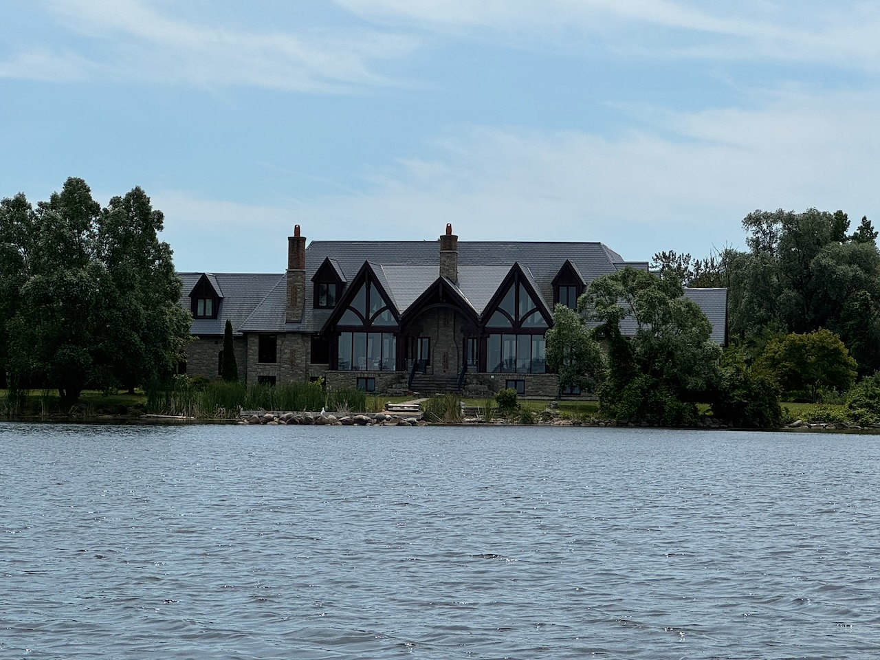
Yes, there is a small canal “system” right here at the end of lake with houses on both sides. If you’ve never seen it before, you will experience a level of shock and awe similar to the second gulf war. Some of it is… fine, some of it is… decaying. I think most people reading this will be surprised it exists at all. You can enter it just past the “last house” before the shoreline turns into proper swamp then farmers fields. Incidentally this house is quite nice, I wonder who built it here, and why.

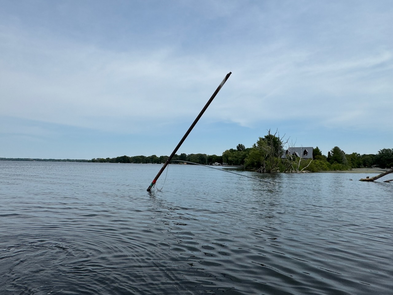
From the water side the only evidence it exists is a bent metal pole with some navigation markers on it, which may also have once held a flag.

So that’s it. After that there’s nothing until you hit the Holland River and then start coming back.

The Holland River… I wonder what’s really at the bottom of that?

Here is the link to the Google Earth project that has all the POIs.

What’s at the Bottom of Cook’s Bay?

Hike the Bruce Trail Day Six: Canada Day

Since it was a holiday and I had absolutely no plans, I slept in. There was no rush to get home, and no rush hour traffic, so no need to start super early. I left the house just before 8AM and was on the trail just before 9AM.

Start: Beamer Memorial Conservation Area

End: Albion Falls

Distance: 27.1km

Weather: 35C and partly cloudy

The Route

The weather was super hot this time, I brought lots of water.

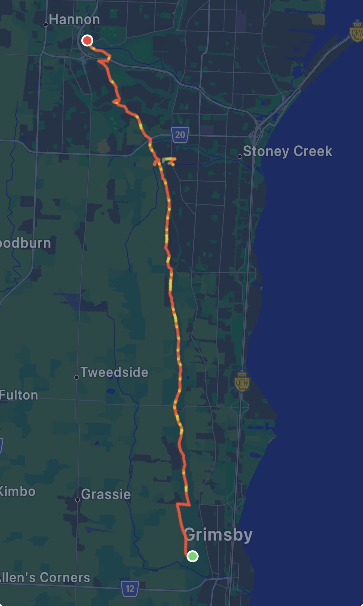
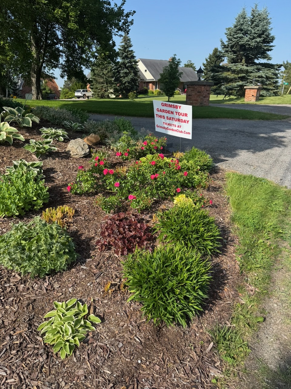
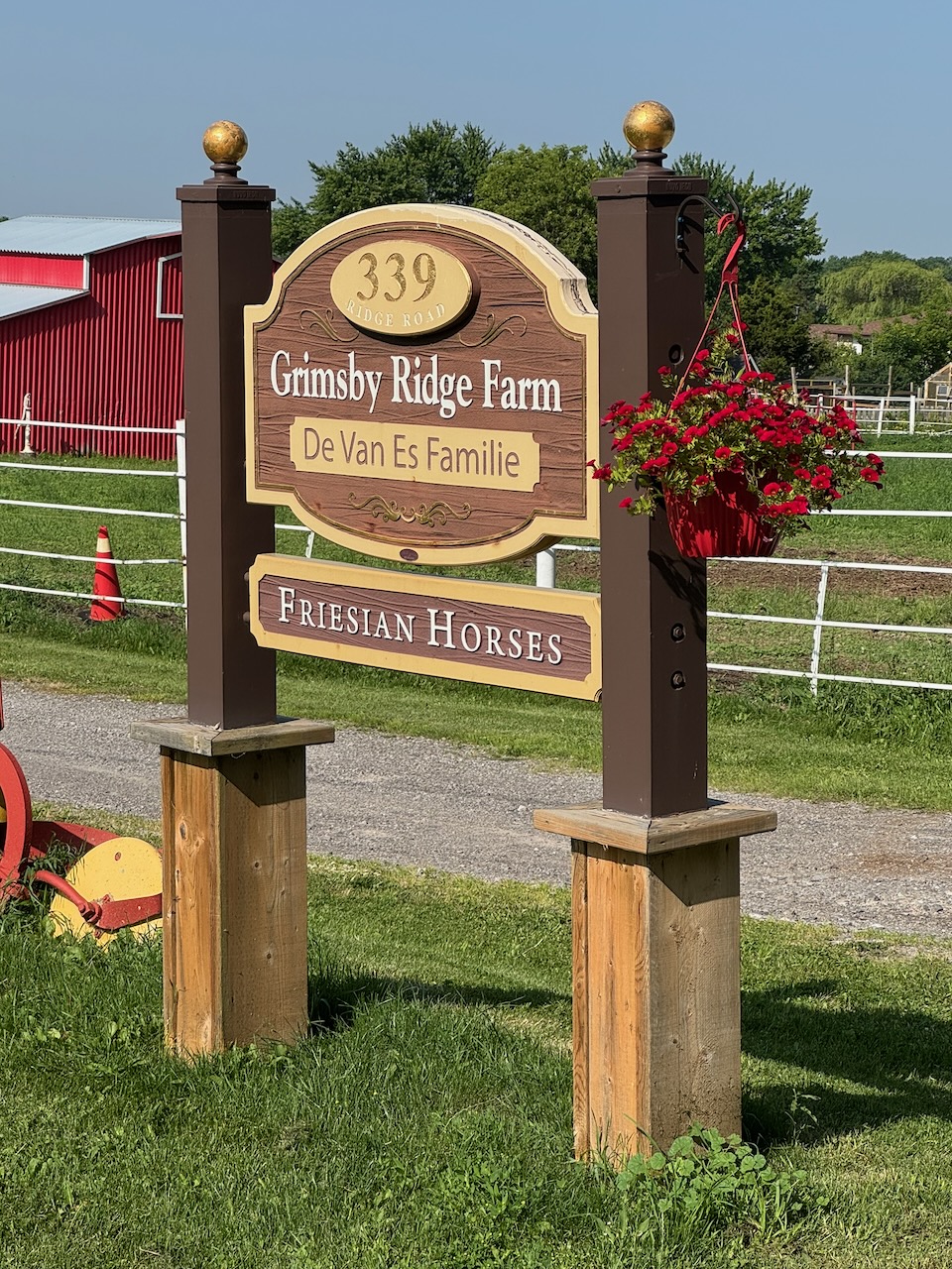
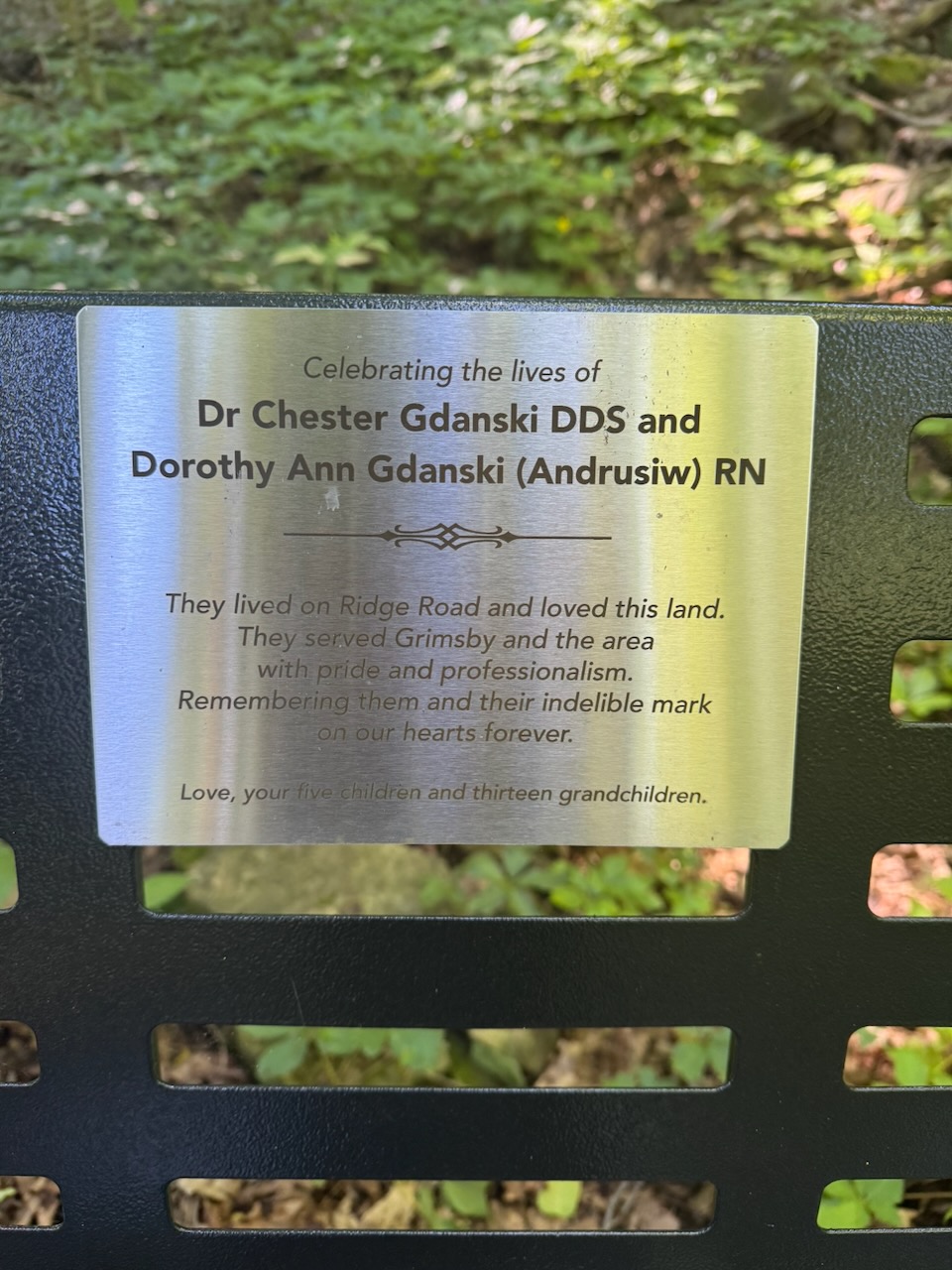
The trail started on mostly surface streets, and there are some really nice homes up there on Ridge Road. Unfortunately it looks like I’ll miss the Grimsby Garden Tour.

I was thinking a lot about that word while I was walking… “home”. In a very real sense I don’t feel like I have one anymore. I have a house I live in (for now) and people come and go from it, but the sense of “home” doesn’t seem to exist anymore, at least not the way it did.

Sorry about that, the rest of the post will be more upbeat.

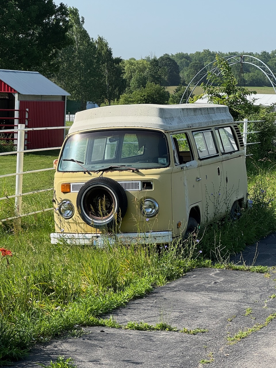
There were lots of fields, some interesting cars including a Corvette for sale and a derelict VW bus. I met a couple going in the opposite direction who were wearing the minimum amount of clothing not to get arrested, but were absolutely firing on all eight cylinders. I mean if they aren’t making money off “amateur” films they are missing out. I thought this would be a harbinger of things to come (other hikers I mean) in that it was Canada Day and what better way to celebrate than enjoying the beautiful nature this country has to offer? But, I met surprisingly few people on the trail, and this was my longest hike so far.

As I suspected when I was looking at the map for this section of the trail, there really isn’t that much to talk about. It was just a walk through the woods. Which is nice, but you run out of stuff to say pretty fast. I mean really, how many pictures can you take of trees?

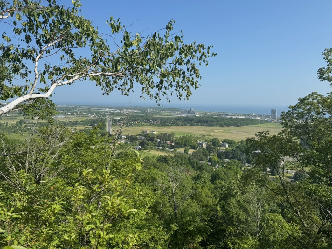
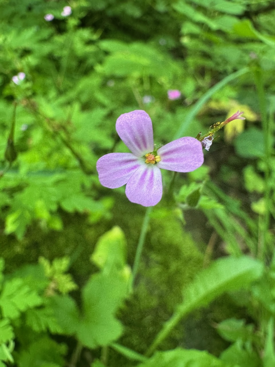
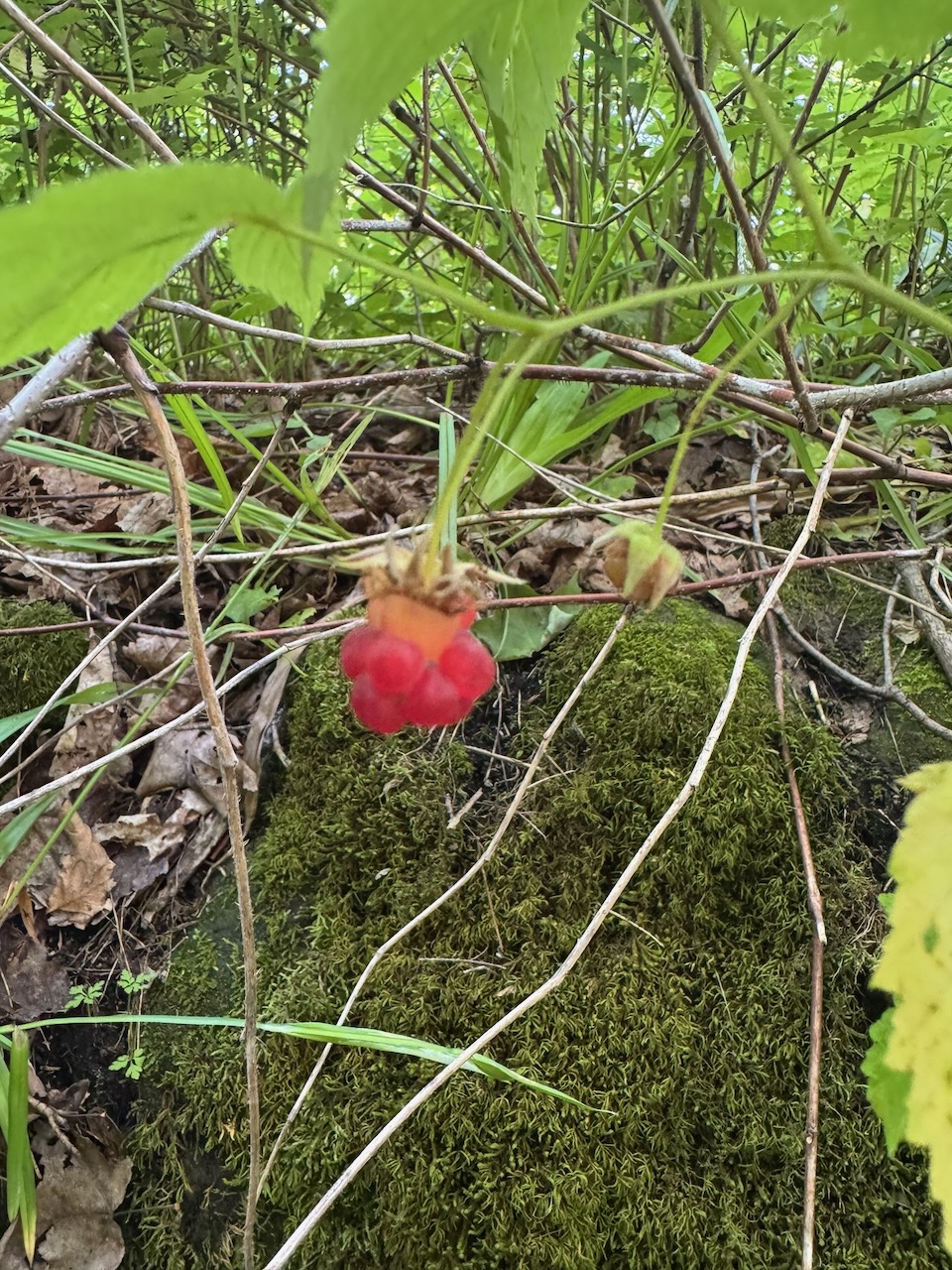
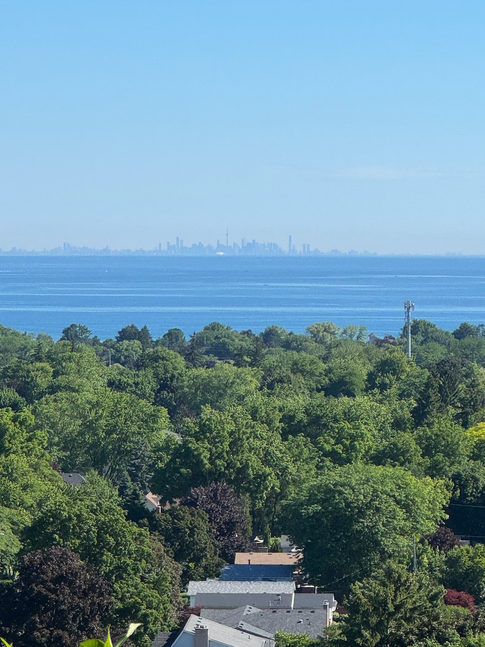
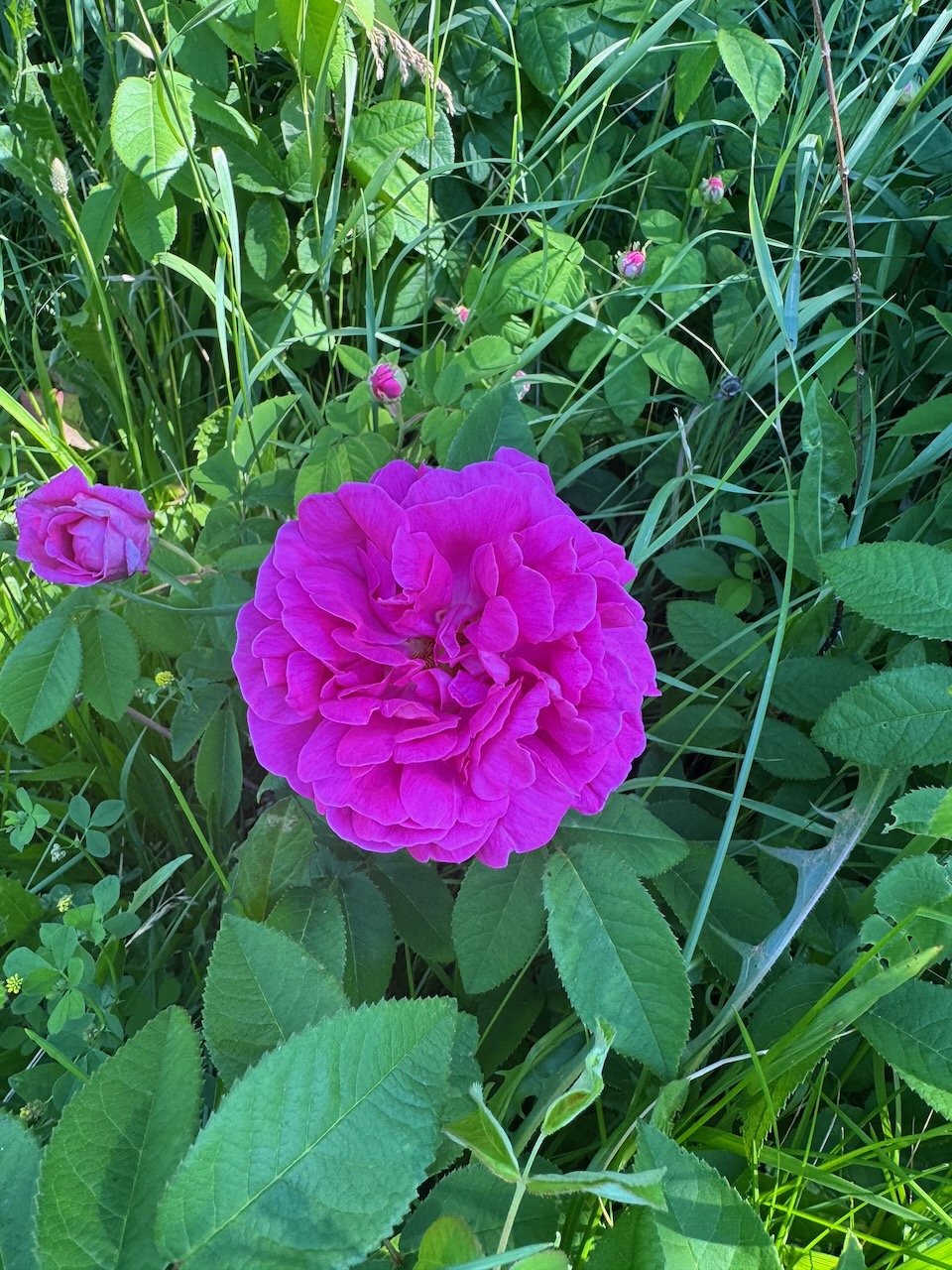
None the less, you’ll see some photos of what I’m pretty sure are flowers and berries that I haven’t photographed before. In the early sections near Grimsby there were again some gorgeous lookouts over the peninsula and Lake Ontario.

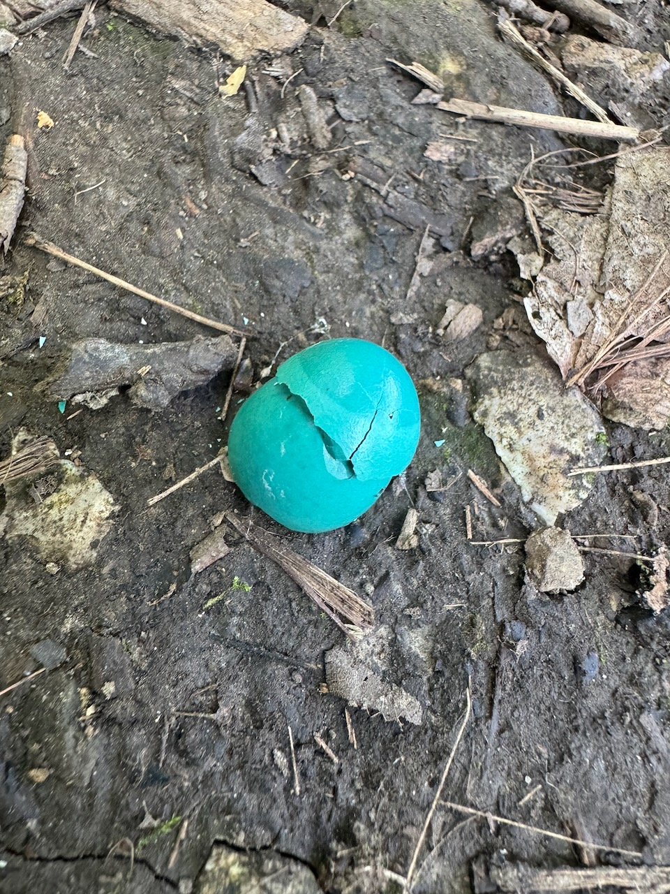
I saw quite a few birds on this hike: There were a few hawks screaming and taking flight as I walked past, a mating pair of Blue Jays that shadowed me for a kilometre or two (did you know they mate for life, noble creatures), many Robins (I found an egg right in the middle of the trail), and a few Red Jays (sorry I can’t resist, this is what my son Will called them the first time he saw them). Unfortunately they move so fast that it’s almost impossible to get a picture of them.

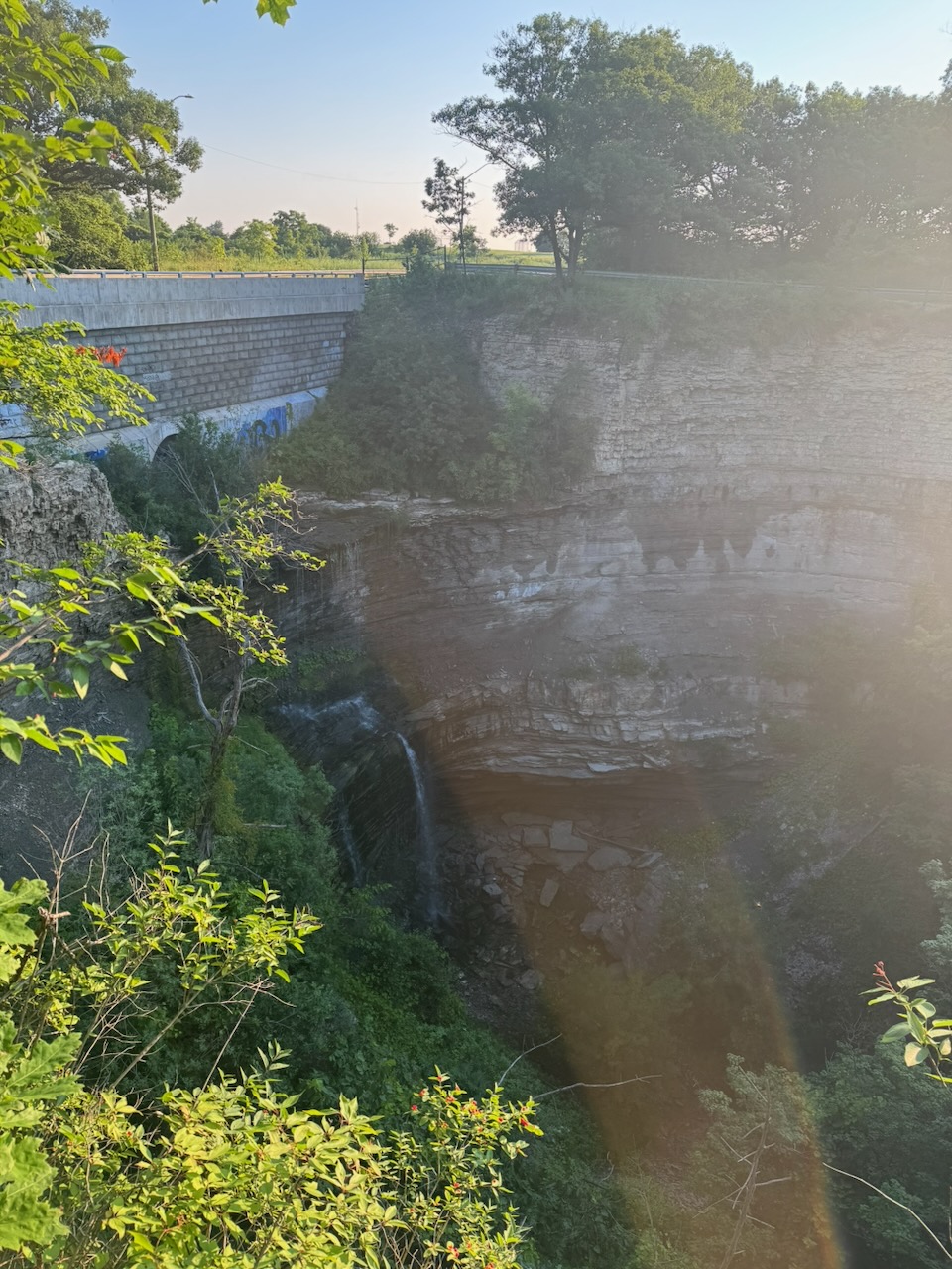
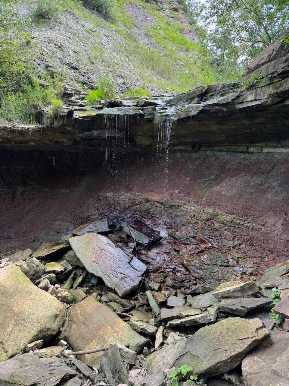
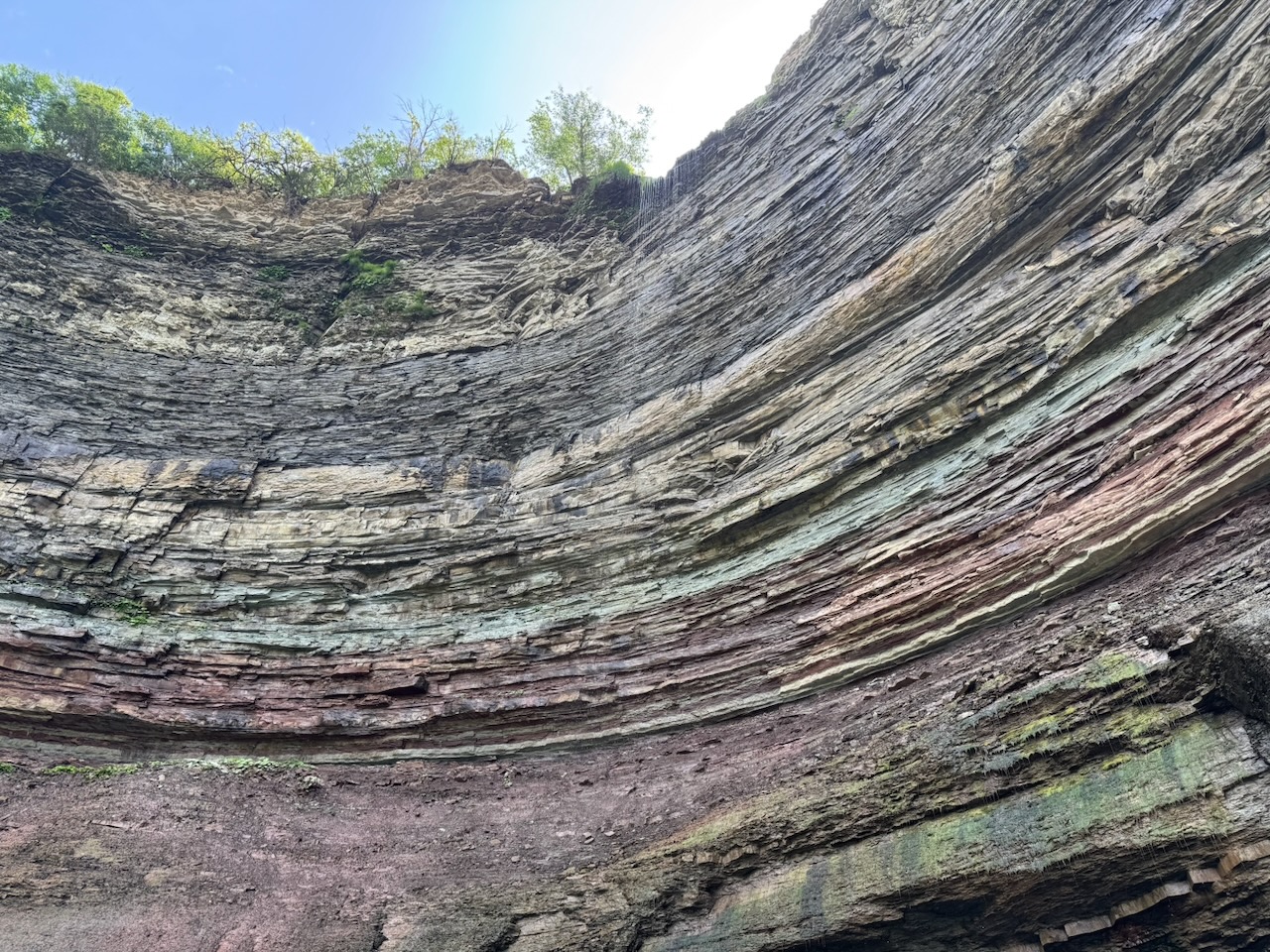
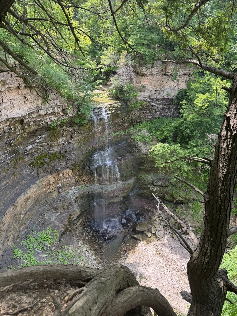
Once I started crossing railroad tracks I knew I was getting closer to what I thought might be my stopping point. The Devil’s Punchbowl is a waterfall/rock formation just outside Hamilton, Ontario. The trail doesn’t actually go up to the falls, but I walked up to them anyway. I met two young guys playing marbles here. They were digging small holes in the hill then seeing who could throw a marble closest to or in the hole. They were very enthusiastic about it and I’m sure would have let me join in if I asked.

It’s hard to do the Devil’s Punchbowl justice with an iPhone photo, so here’s a video:

At this point it was about 12:45PM. I had finished almost all my water, and was starting to get tired, to the point that I was stumbling and tripping on rocks and/or roots. I didn’t bring any food or drink (other than water) with me so I thought I’d see if there was somewhere nearby I could retire for lunch. Luckily I was in Stoney Creek, which is just outside Hamilton. And, in Hamilton you’re never too far from a drunk. I mean a drink. I mean… you get the idea. Apple Maps informed me that The Powerhouse was only about 1.5km away and that it was built into the historic power house for the local light railway. That sounded right up my street (or rail) so I walked over. I actually almost threw up from the change of hot and humid outside to air conditioning inside, along with a glass or two of ice water. Luckily that soon subsided and I had some lunch and a cold beer. My God a cold beer tastes great when you’ve earned it. I know I said the same thing last time but it’s true. It was a neat place, the ceiling joists were amazing, made of such huge timbers that I doubt you could recreate them now, there are no trees left that are big enough. I forgot to get any pictures of this, sorry.

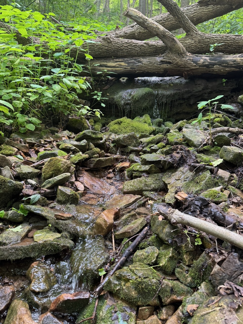
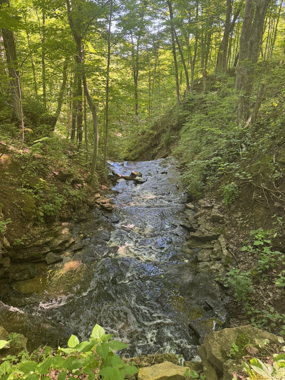
I could have retired at this point but I decided to carry on. While I was walking I could hear rushing water, but no obvious source. Walking off the trail a bit I found this:

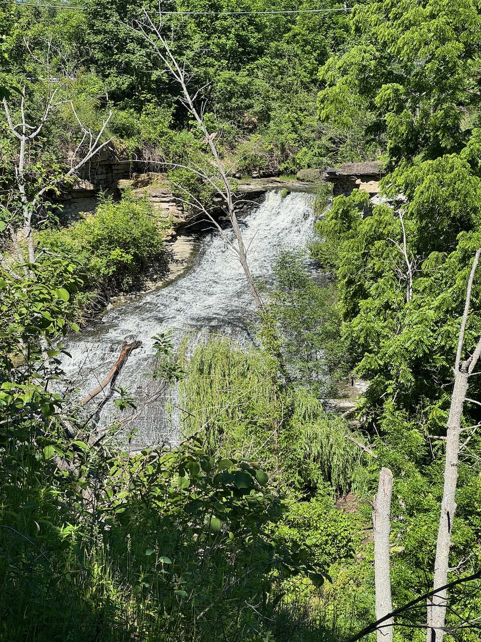
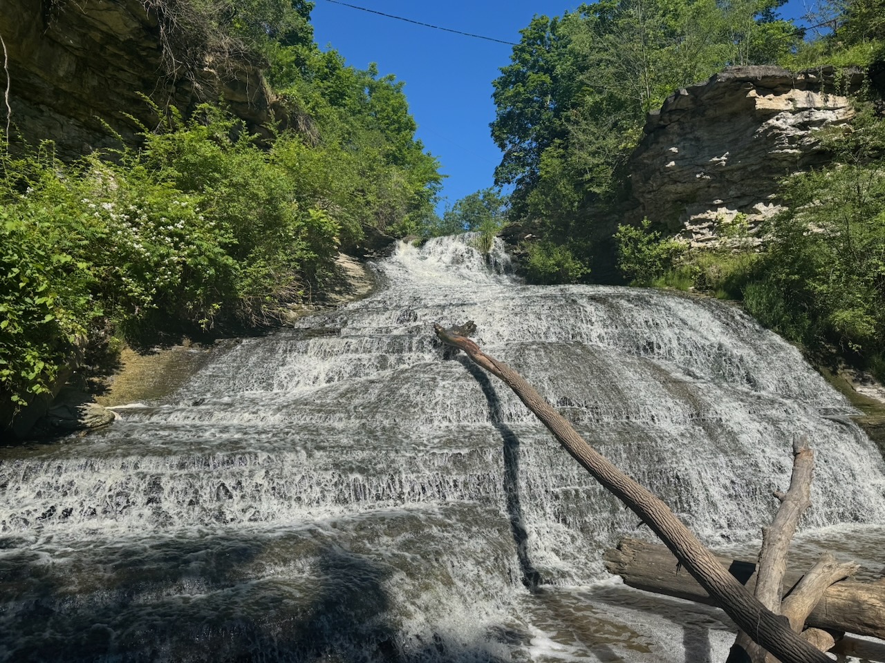
I passed another beautiful waterfall:

After this it was mostly local trails. I was getting very tired now. It was hard to go on, my feet were hurting, my joints were hurting and my legs were starting to falter. It really was time to stop. I made it to Albion Falls and threw in the towel.

I sent my hiking log to the Niagara section of the trail and they approved it! I should be getting my Niagara end-to-end badge soon.

Only 770.3km to go!
Hike the Bruce Trail Day Six: Canada Day

Hike the Bruce Trail Day Five: Vineyards, Vultures, Vader’s Day

The first thing I noticed today was that it took less time to drive to my starting point. I’m very slowly getting closer to Toronto. Eventually, somewhere around Halton Hills, I’ll hit the closest point and then start moving away again.

Start: Cave Springs Conservation Area

End: Beamer Memorial Conservation Area

Distance: 20.4km

Weather: 21C and partly cloudy

The Route

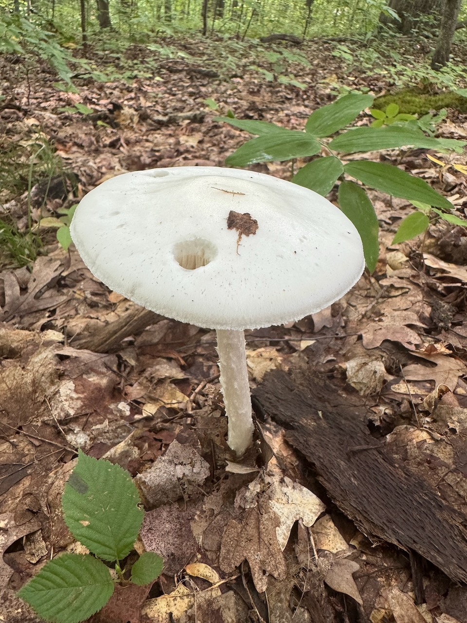
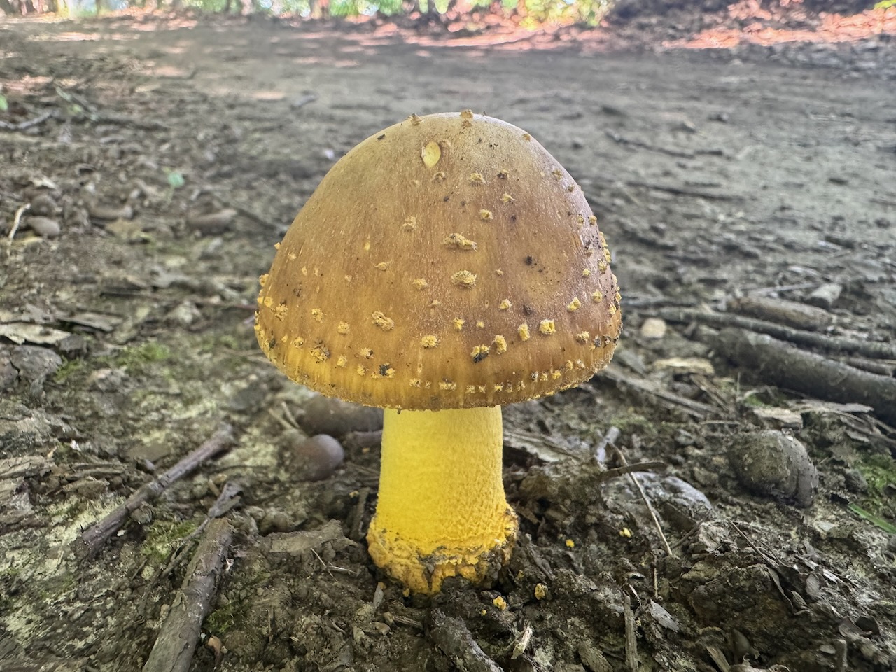
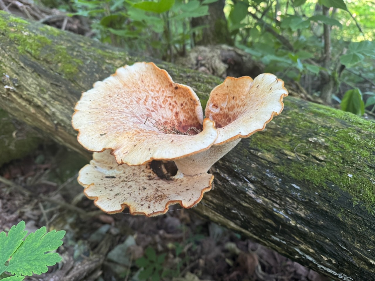
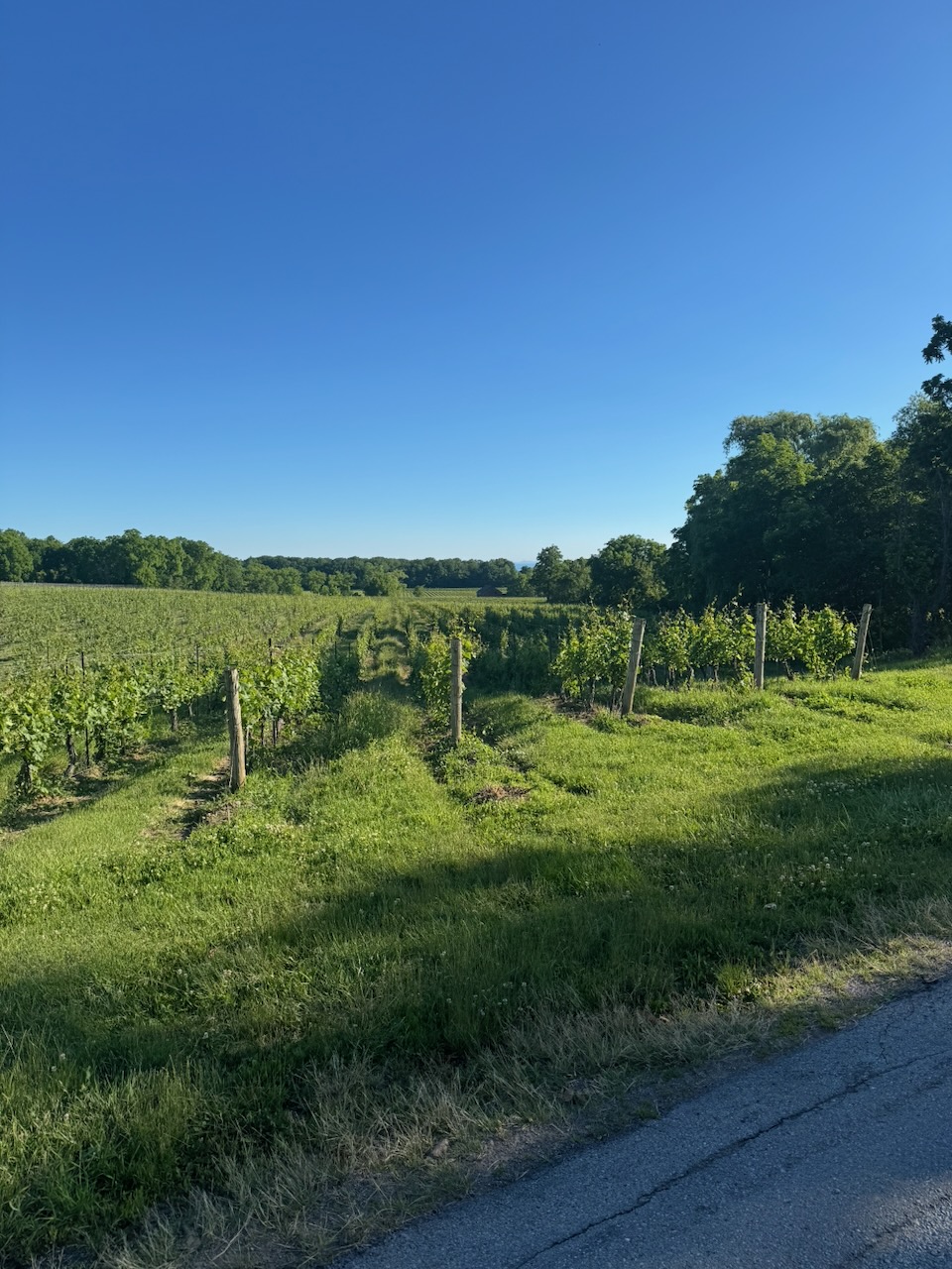
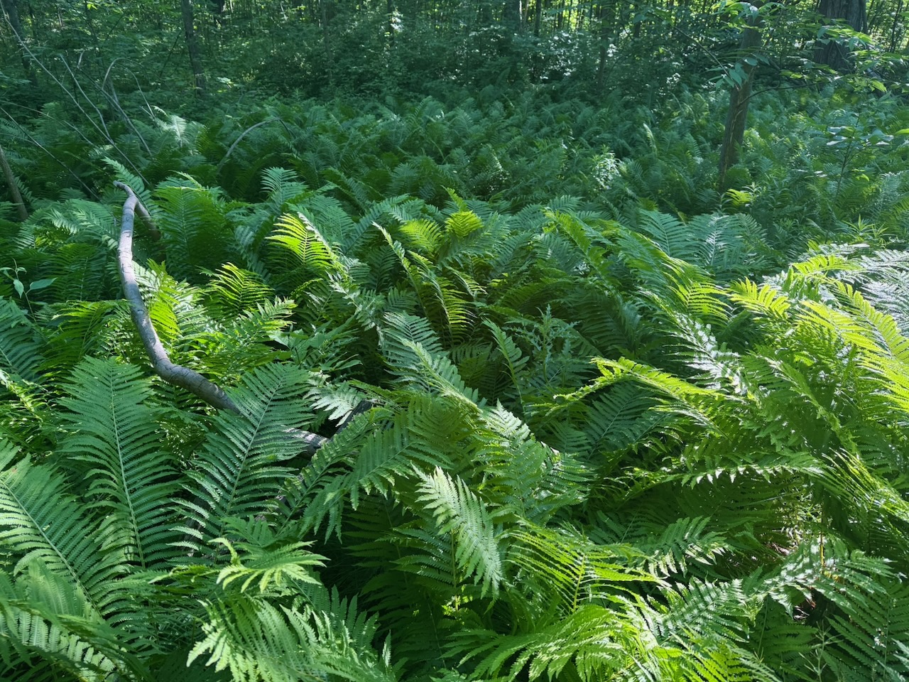
The hike started with some beautiful views out over the local vineyards to the lake. It was quite striking with the sun coming up. For some reason I really noticed the ferns on this hike. I don’t really have anything interesting or funny to say about that, there were a lot of ferns. If anyone is reading this (ha!) and knows a good fern joke let me know. I’ve also been on the lookout for interesting mushrooms/fungi, but I haven’t seen much. When I was portaging in northern Ontario as a kid I used to see all kinds of interesting fungi, but not much here. It’s possible that a well maintained trail simply doesn’t have enough decaying wood/leaf matter to foster them.

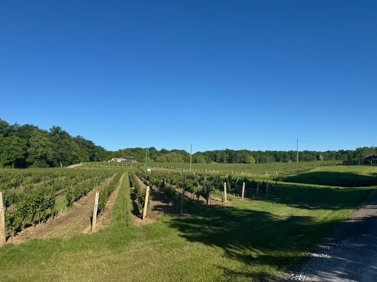
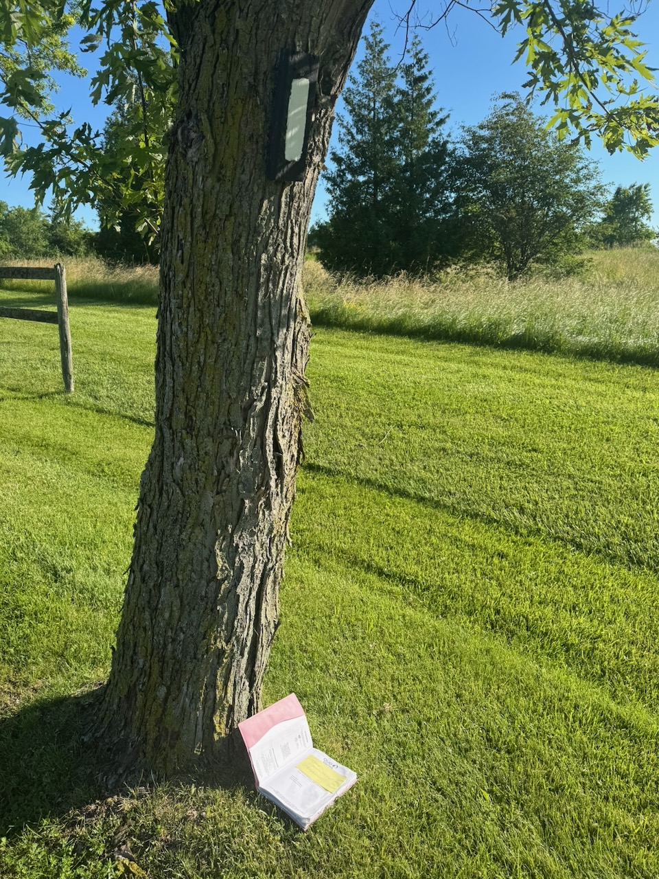
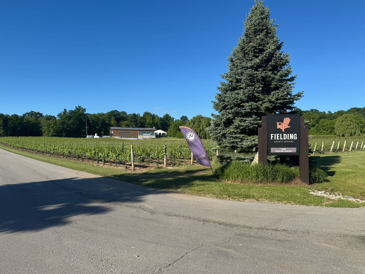
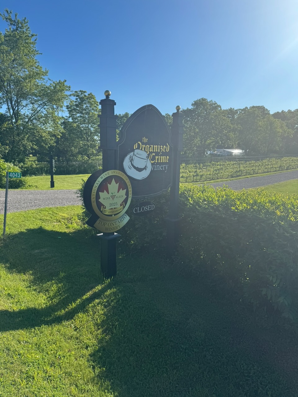
Again, there were lots of surface street sections here, many of them going right past wineries. They are all closed at 7:30AM of course. I have half a mind to bring some wine with me and each time I pass a winery, stop, and have a “tasting” of my own. Wine is mostly water, so it counts as hydration. I do not have a problem. In addition to lots of vineyards I stumbled upon a lost/discarded journal. The first page contained a Post-It Note reminding the owner to get some Ozempic.

I encountered more hikers this time than normal. Possibly because the weather was so nice, possibly because it was Father’s Day. There was a dad and his three kids who were running the trail, I caught them on the way out and back. I asked my kids what they wanted to do for Father’s Day, they said anything but hiking. So, I have some work to do there.

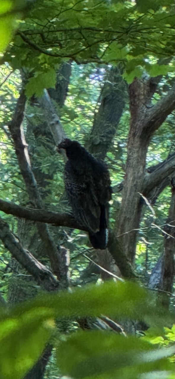
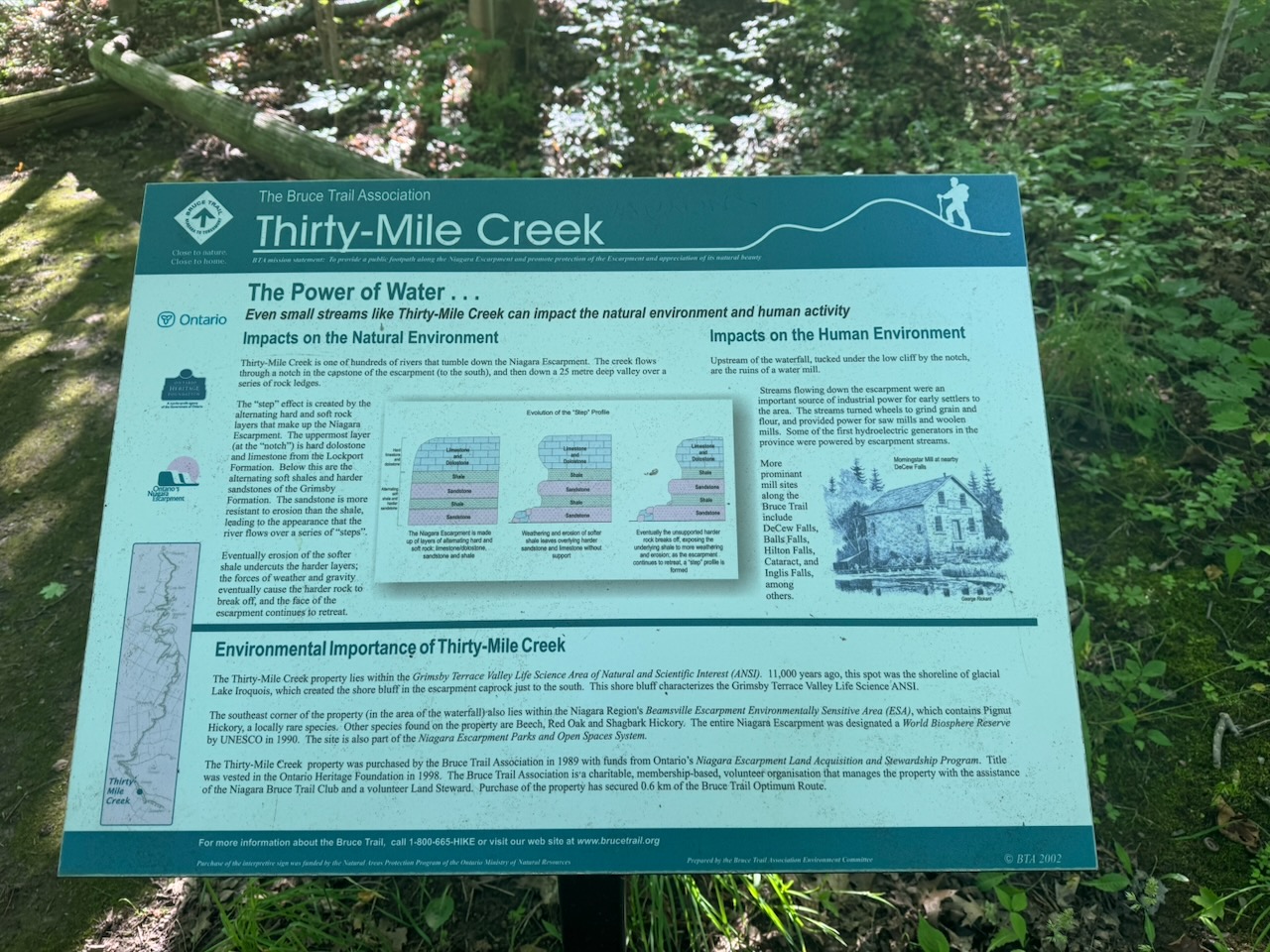
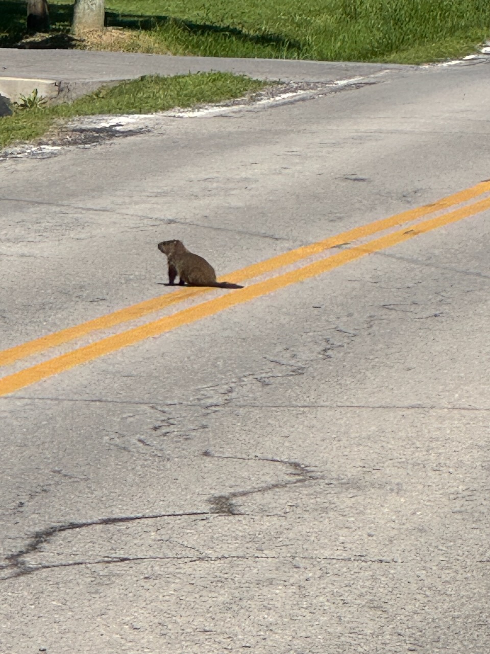
Just before Thirty Mile Creek I encountered my friends from the previous hike, the two vultures. I managed to snap a photo of one this time. I have no reason to believe these are the same two as the last time, but I’m going to anyway. Most people would think that having a pair of vultures shadowing them would be a bad sign. But we don’t really know what vultures are like, maybe they’re nice. They may even provide meat rain from time to time, so that’s good. I also happened upon a groundhog who came out on the road to sun himself.

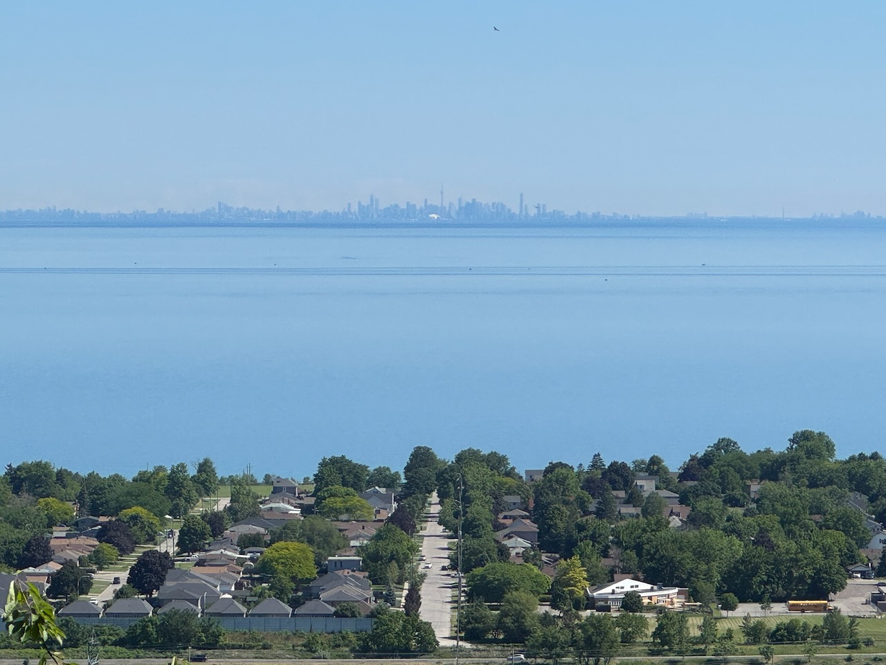
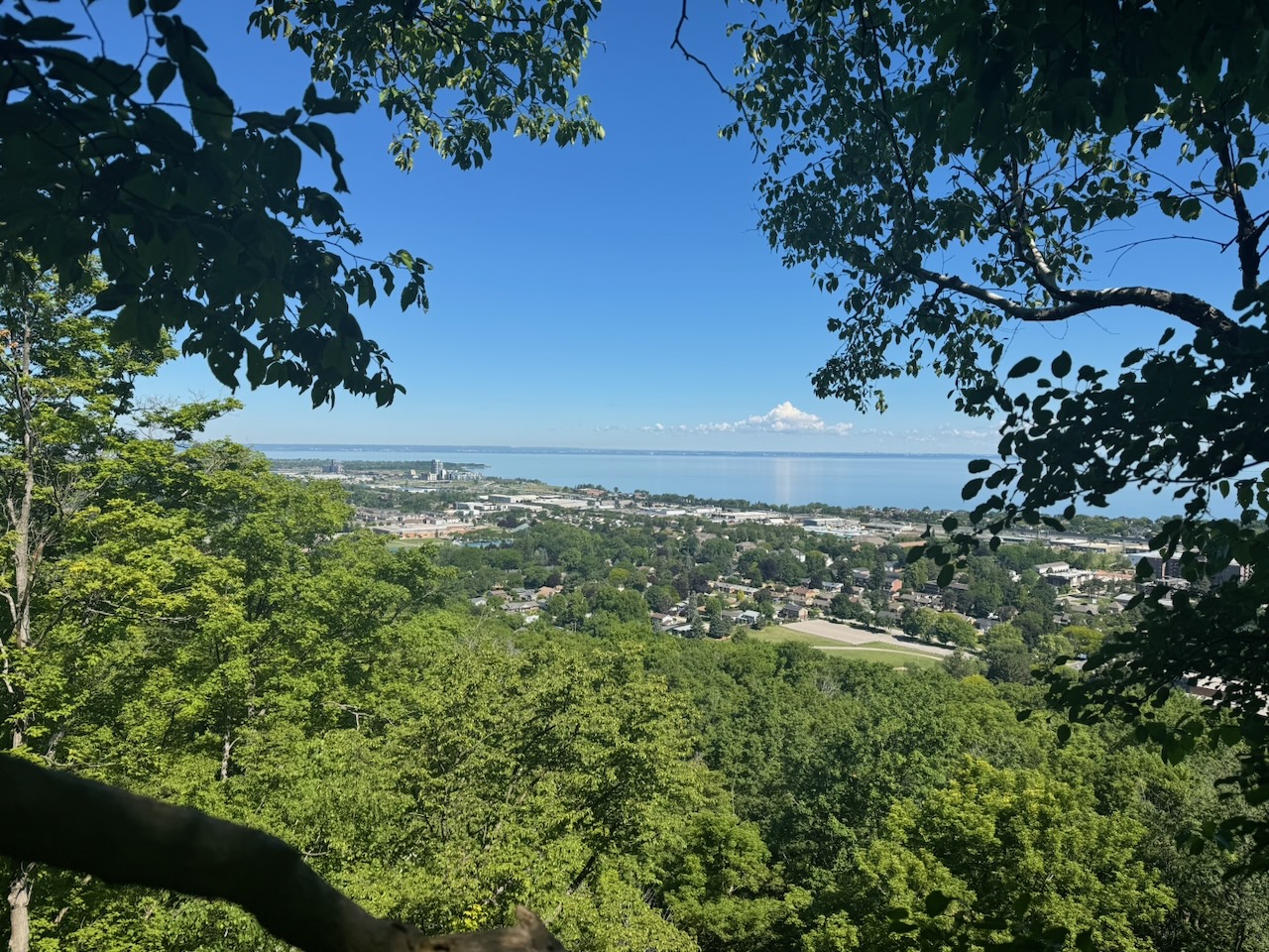
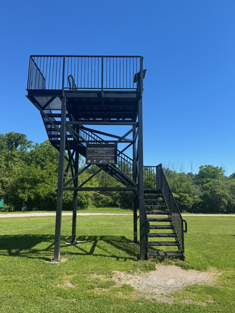
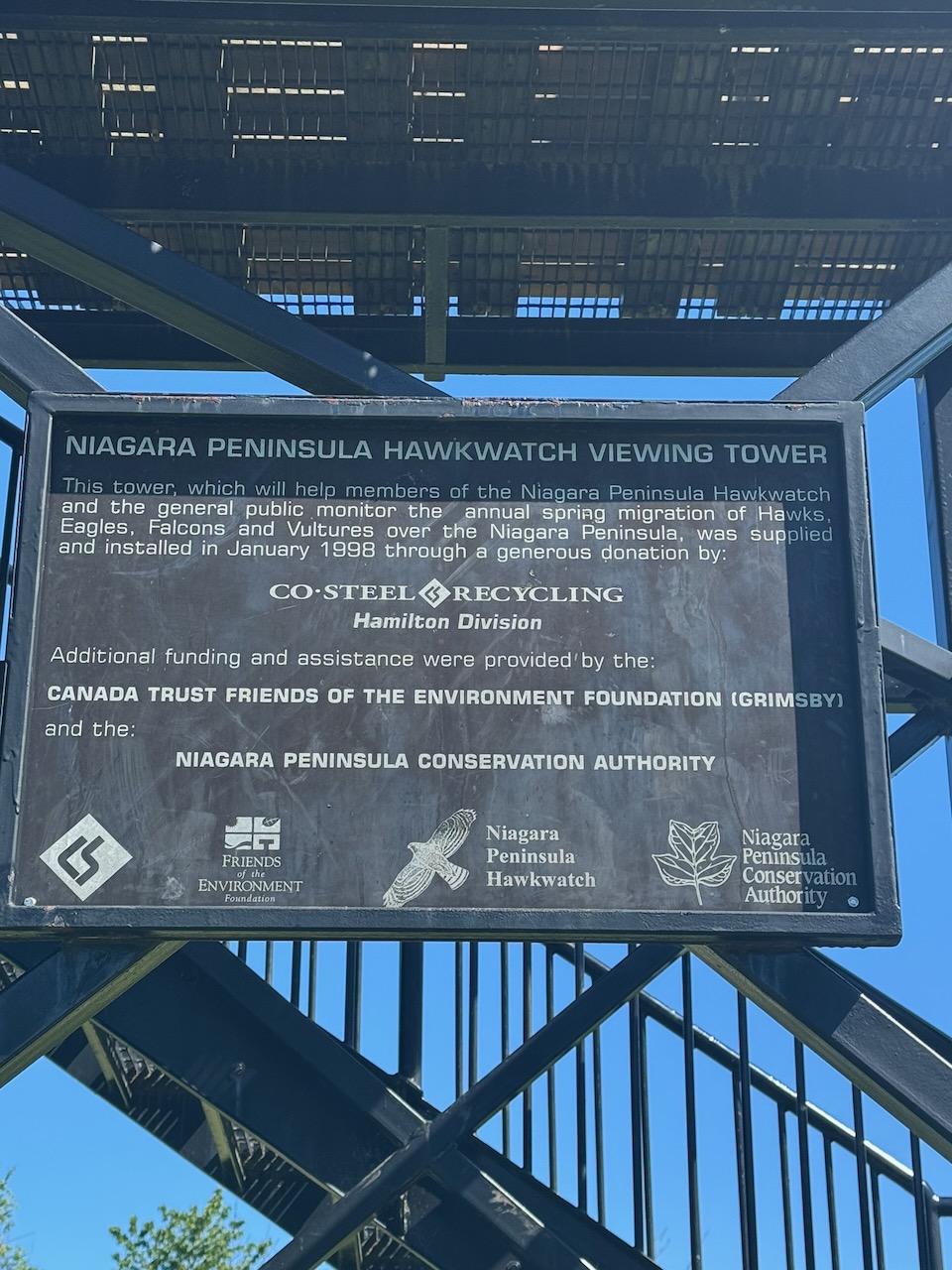
After Forty Mile Creek I had a choice. The main trail goes in an eastbound loop out to the edge of the escarpment. However, I could cut about 1.8km off my hike by taking a side trail “short cut” to the next parking lot. I resolved that my goal was to hike the main trail, so I did. I was richly rewarded; the trail goes right to the edge of the escarpment where the creek cuts it in half. There were gorgeous views out over the town of Grimsby and Lake Ontario. They even had elevated viewing platforms. Just before the parking lot there was another elevated platform for the “Niagara Peninsula Hawkwatch”. I climbed it but didn’t see any hawks. Worst. Hawk platform. Ever.

When I requested an Uber to take me back to my start point I really thought I’d had it. I got the “we’re trying to find you a driver” message, where I was just waiting. I did finally match with a driver who was 25 minutes away. Amazingly he showed up and was really interested in the trail and what I was doing. The next few hikes transit Hamilton so it shouldn’t be a problem, but it was a nail biting few minutes.

Right next to my start point was the Cave Springs Vineyard tasting room and it happened to be open by this time. Of course, I tasted some wine and brought home a few bottles. It was Father’s Day after all.
As far as I can tell I have now completed the Niagara section of the trail and can apply for my “all the way” Niagara badge! Pictures to follow.

I thought of one. Why is a forest floor covered in ferns said to be “richly” covered? Because they out f-earn all the other plants. insert audience silence with lone person coughing sound

Only 797.4km to go!
Hike the Bruce Trail Day Five: Vineyards, Vultures, Vader’s Day